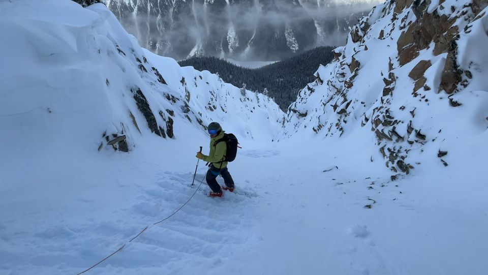
2023-01-18 Conditions Update

Looking Back:
-Super late fall. Totally dry through end of October and into November before we had a low moisture start to the winter. When it did start snowing, it was cold, dry, and not much snow.
-Thin initial snowpack through Nov and Dec.
-Surface hoar layer of concern in Nov and Dec at treeline, especially north of Squamish.
-Basal facets and depth hoar developing with cold temps (just before Xmas) and thin snowpack.
-Cold period of high pressure then cold with précip mid-December followed by big warmup over Christmas. This created the Xmas crust.
-Somewhat consistent snowfall on this crust throughout the corridor (50-80cm?).
Current:
-generally a period with limited actual observations! Low tide on glaciers (crevasses)!
-Snow accumulating on the Xmas crust. 50-80+ depending on where.
-last warmup period fully saturated the BTL snowpack, which is still isothermal in some places. Especially North Shore and Squamish.
-1700m -2100m saw rain fall at the peak of the storm. Created a mid-Jan crust layer.
-Above 2100m, further north, saw little or no rain and therefore no crust formation (in these areas, snow is still loading on the Xmas crust). This creates a much more serious storm slab issue as the slab is >80cm thick in places!
-Since last weekend’s warmup, snow has been falling again with 20-40cm of HST as of yesterday and probably another 10-20cm today.
Looking forward:
-a trickle off of storms, maybe some colder weather. Then high pressure on the horizon. If it’s not too cold, I’m hopeful it will help settle!
-I’m going to be hesitant around high alpine features until I have some more observations. For now, sticking to supported and fat features, ideally ones I know slid in the storm. Not trusting of unsupported/convex or shallow/rocky features - perfect for triggering storm slab on near surface facets!
Questions:
-Will the xmas crust act as a PWL, especially at higher elevations where mid-Jan crust didn’t form?
-Will older SH layers or basal facet layers wake up in spring and cause problems?
What will I be doing?
-How deep is either the mid Jan or Xmas crust buried?
-How well bonded/settled is the new snow? It will start as a storm slab (today) but hopefully will settle quickly with forecast temps. Wind slab will be the main issue.
-Check the public bulletin! Especially the AVALANCHE PROBLEM. These really tell you what you need to know and the terrain to avoid.
-Post a MIN on avalanche Canada!
-the current snowpack is a bit weird but it’s not game over. Lots of good skiing to be found! We just have to think a bit more.
-Use the custom shading in FATMAP! We’ve found the best skiing generally between 1700 and 2000 m on sheltered aspects. You can punch that into Fatmap and get exactly where to go overlaid on the map! Same goes for avalanche problems!

Member discussion