
April 10 - Sea to Sky Snow Conditions
Overall theme:
Spring is officially here in force. It’s full blown freeze-thaw. Hopefully a few more pulses of low snow to freshen things up! First though - two BIG pieces of news!
- Sea to Sky Gondola Exit Gully weather station has been upgraded with a camera! You can check it out via the main STSG weather page and scrolling down to the Live Data and Exit Gully Cam buttons. Why a webcam? It gives us two super valuable bits of information - Snow in the trees or on the slabs? What are sky conditions?
- Our final snowpack talk of the season is coming up at 7pm on April 15th! It’s going to be a special evening. We’ll have a bunch of giveaways (make sure you’ve submitted some MIN reports in the past few weeks so we have something to talk about!). We’ll talk about springtime ski objectives. And most exciting of all, we’ll be screening the Squamish premiere of our friend and guidebook extraordinaire Matt Gunn’s new film!
Where we’ve been skiing:
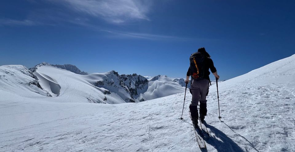
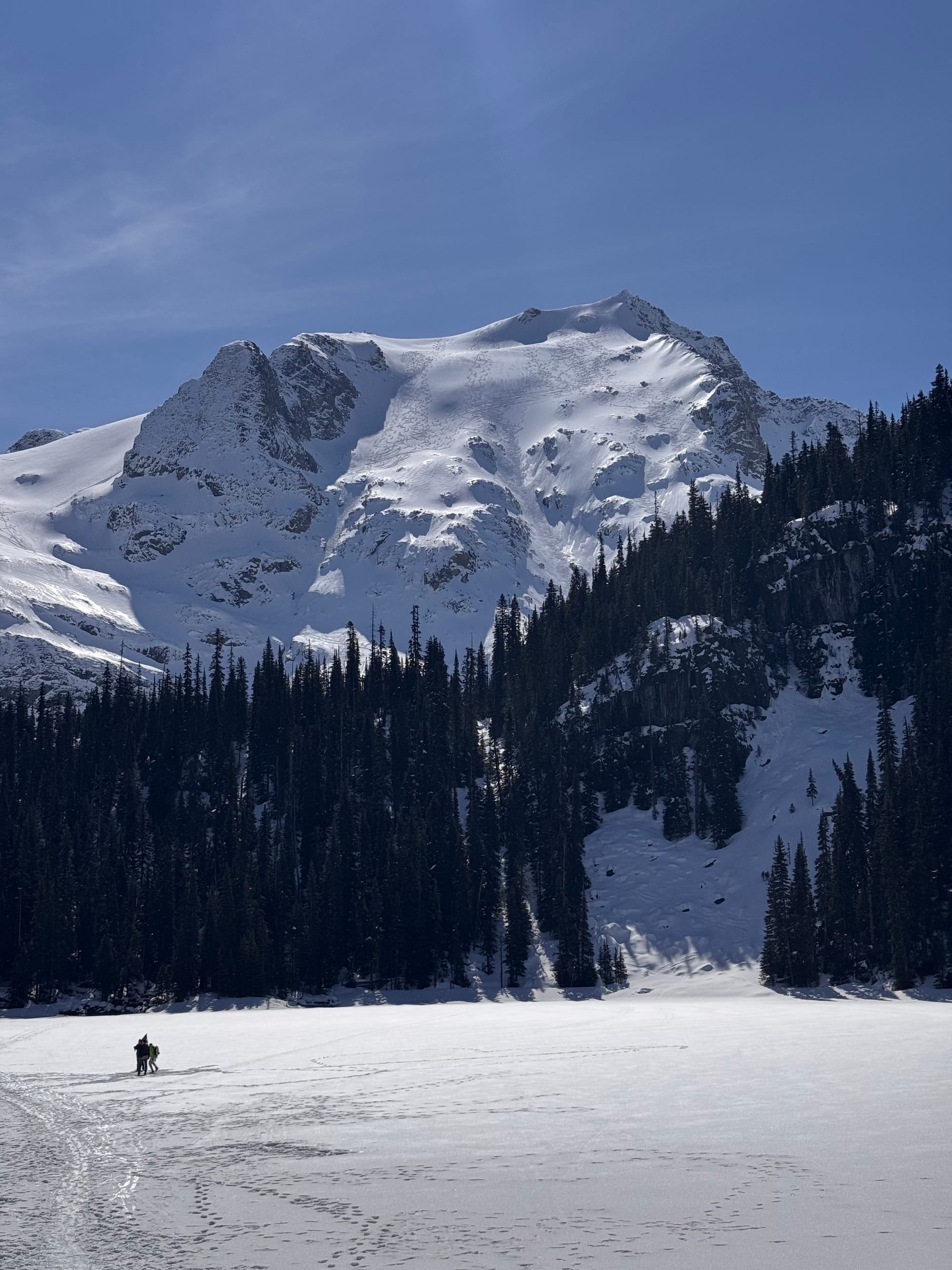
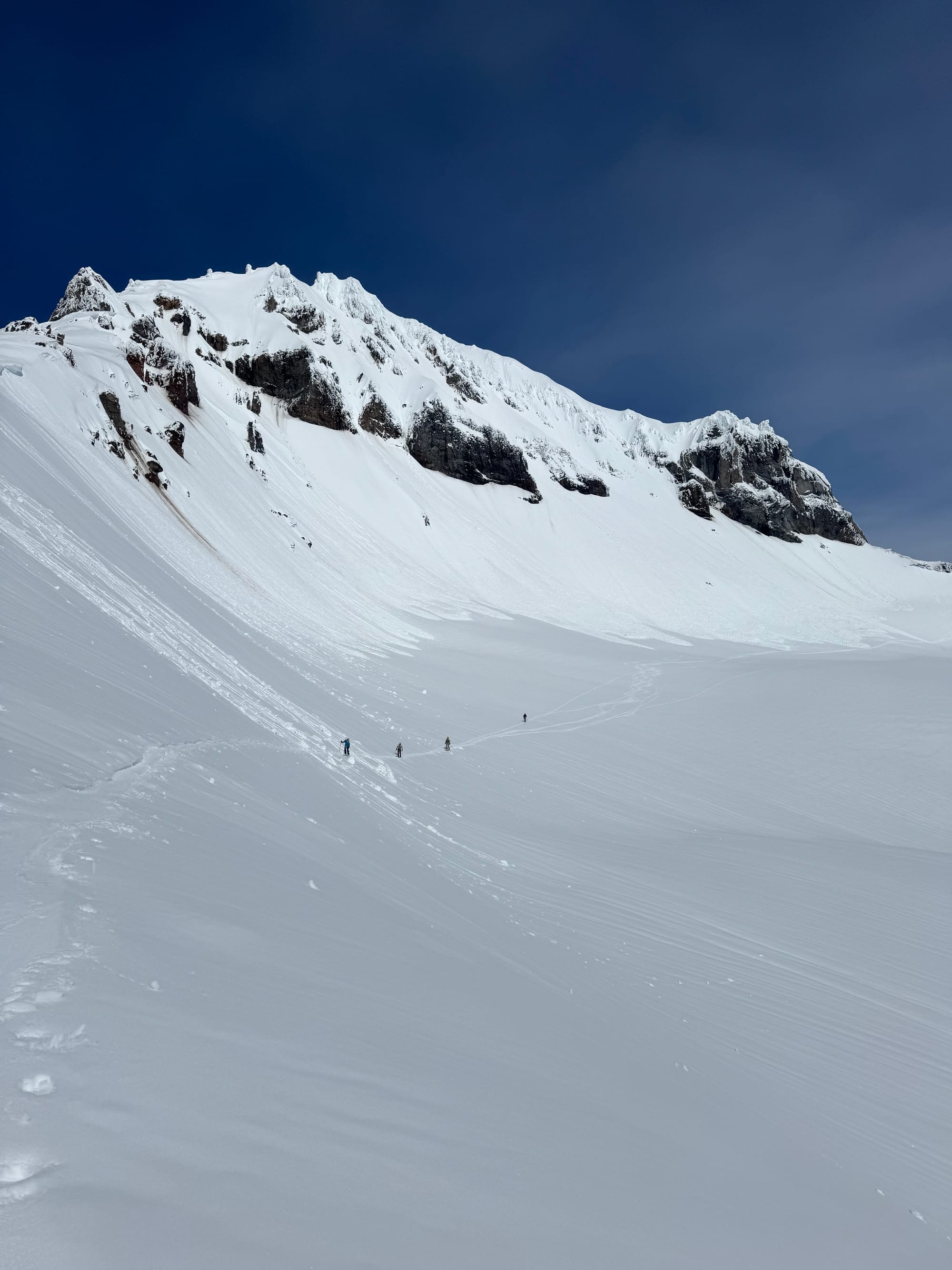
Squamish, Whistler, Mystery Creek, Duffey. Mostly high alpine adventures - trying to find soft snow. Evan’s been all over the northern part of the region while Eric’s stuck a bit more south. Until mid-week, there has still been some soft snow to find but now, we’re all about the corn. There are tiny bits of cold dry snow left in sheltered northerly terrain above 2000m - it’s just tons of work and tough conditions to get to those spots.
Access is definitely fading fast. STSG and Red Heather skiing has receded significantly on the roads. Not tons of walking but enough. Whistler-Blackcomb is looking pretty thin down low but as of now you can ski to the base of Blackcomb and late exit via Sunset Blvd even though its roped off. Both mountains still have ski-outs but they are single stripes.
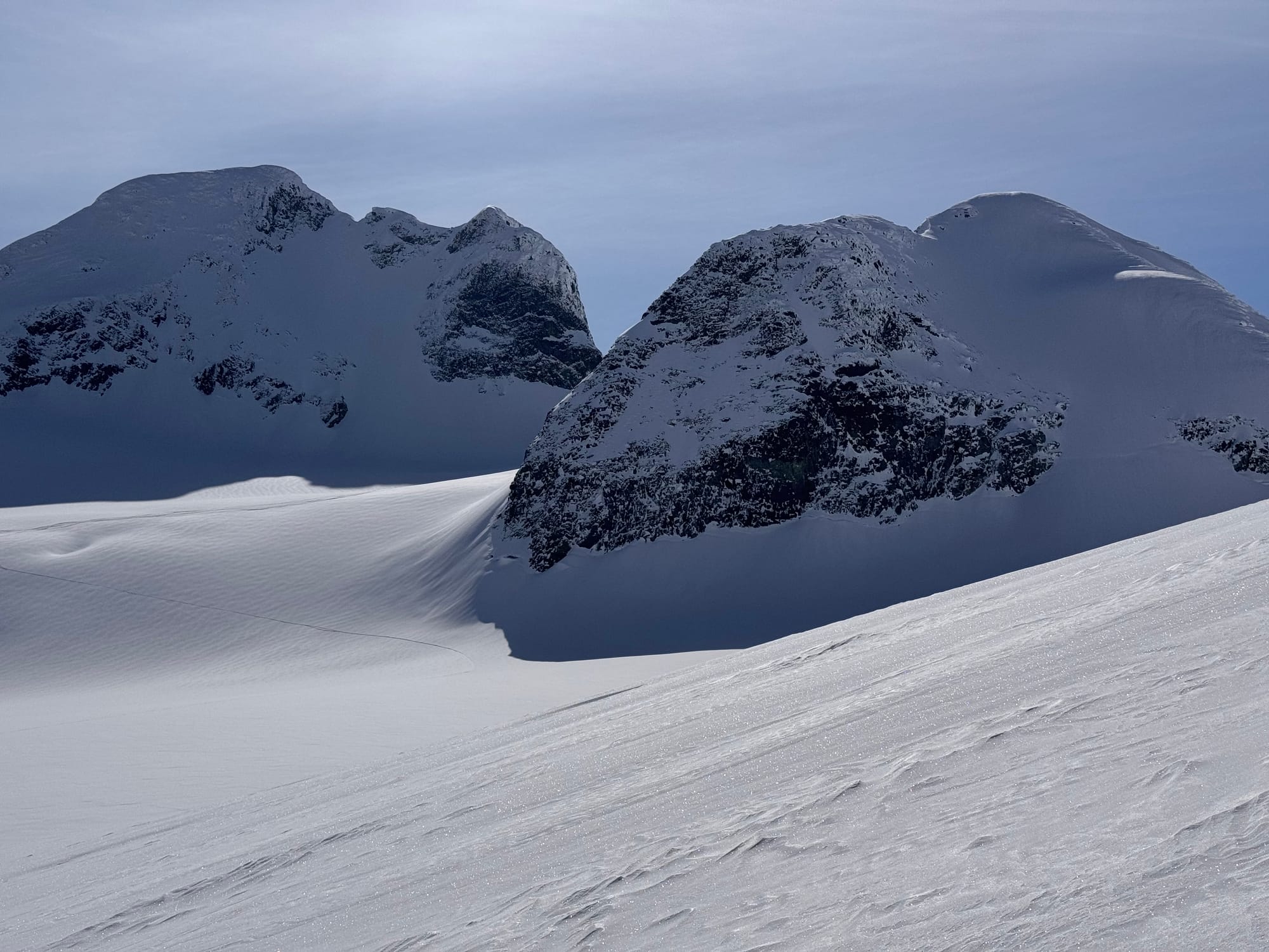
Duffey is just barely hanging on at road level but Joffree Lakes, Cerise Creek, Cayoosh and Steep are all still snow to the highway and good for a bit. Trail spikes and runners might be your best bet for those trails! Spearhead has a track in and most stuff is looking pretty paved - the wind reset lots, but also added wind slab and sastrugi - a refresh is needed! Until the weather changes its all about corn skiing for the most enjoyable snow.
What’s happened since the last update (weather & general snowpack structure):
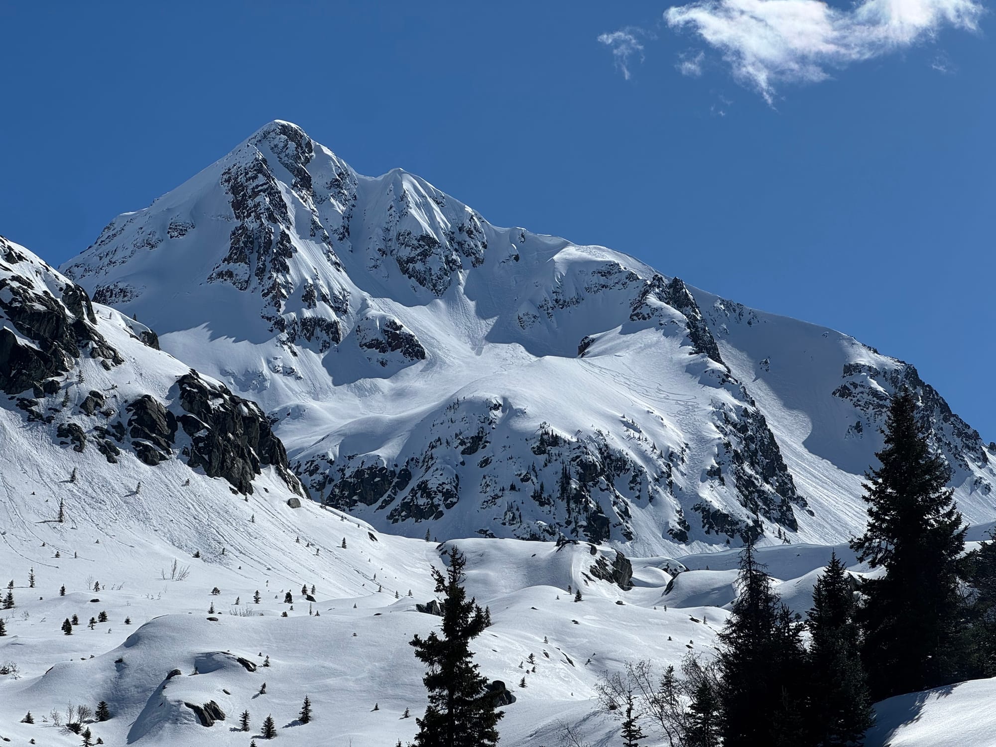
We’ve moved into a strong spring diurnal. The weekend was cool and soft snow was holding well up high but strong wind came through on Monday. This redistributed a ton of snow and created some nasty breakable crust elsewhere. A few windslabs showed up in weird places and were catching people off guard over the weekend. Sunday was the first super warm day and a major loose wet cycle occurred in the alpine with widespread size 2+ avalanches.
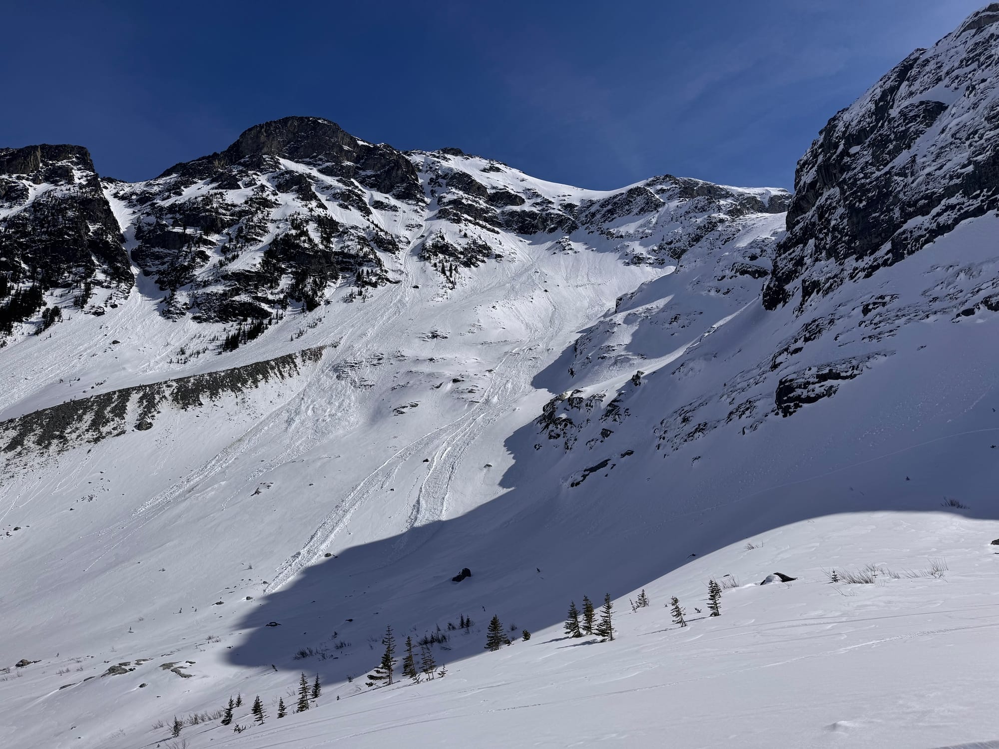
Big loose wet slides in the Matier icefall and the E face of Atwell.
There were also some pretty major cornice falls in the alpine - for example the Cayoosh cornice cleaned out a good chunk of the Armchair uptrack! By mid-week, the diurnal cycle (warm during the day, cold at night) had fully established and avalanche activity tapered off a bit.
In most places we have a robust melt freeze crust that makes for a firm surface in the morning and soft conditions in the afternoon. In very high, sheltered north aspects, you may still find some softer powder among windslab and breakable conditions.
What’s the weather and avalanche forecast?
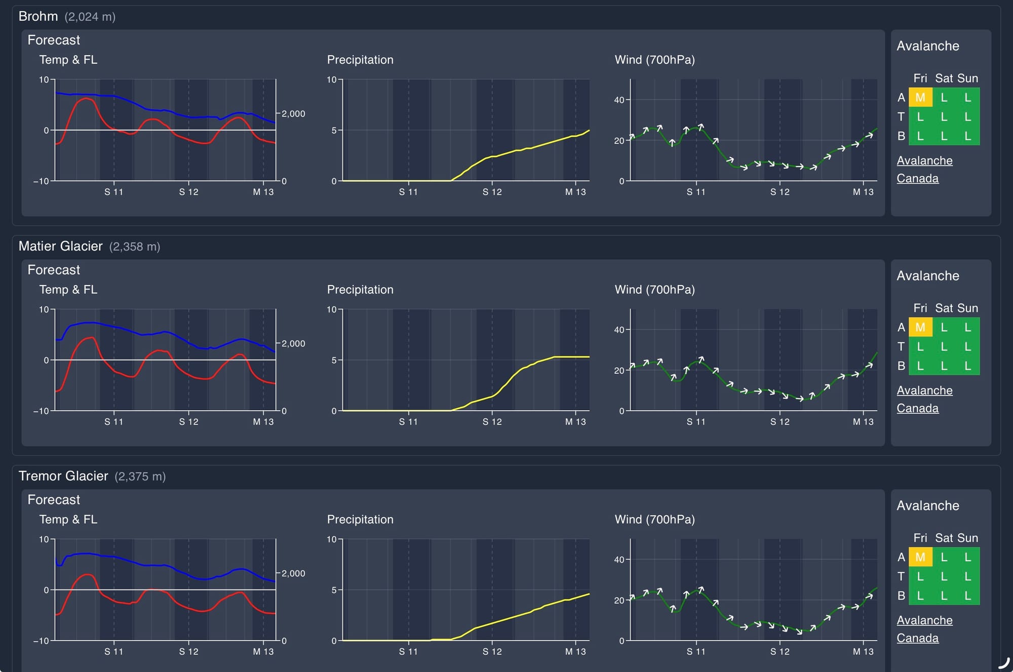
A ridge of high pressure over southern BC will continue to dominate with dry and warm conditions on Friday. An upper trough will move southwest from the Gulf of Alaska, resulting in increasing cloudiness and a slight chance of precipitation on Saturday and Sunday morning. High pressure will rebuild over the coast later on Sunday and Monday, leading to drier conditions. A stronger system could bring cooler temperatures and lower freezing levels by Tuesday.
Wind Speed:
- Friday: Southwesterly 15 gusting 30km/h.
- Saturday: Northerly 15 gusting 30 km/h.
- Sunday: Southwesterly 10 gusting 30 km/h.
Sea to Sky Freezing Levels:
- Friday: Steady near 2500m
- Saturday: Lowering to near 2000m
- Sunday: 2000m rising to near 2200m
Precipitation:
- Friday: Nil
- Saturday: Trace to 2cm
- Sunday: Trace
Avalanche hazard is mainly related to overhead cornice hazard and daytime warming. We’re hovering in the moderate to low range on the South Coast and it’s definitely a good time to get after it in the mountains if you can time your day well with appropriate aspects. If we see more precip early next week, expect hazard to go up a bit if we have a wind/storm slab problem.
What are my questions for the weekend?
- What time is corn-o-clock? Corn skiing seems to be the play so it becomes about timing! Cloudy weather on the weekend will complicate things a bit.
What will I watch out for or avoid completely?
- Still giving cornices a wide berth. Walking around the Spearhead on Wednesday, there were still some huge ones looming and plenty of very recent debris - including crossing the main route.
- Bad timing - use morning freezes to travel with care (ski crampons are key) and mid-day softening for the skiing.
Closing Thoughts:
The temptation of warm dry rock in the valley bottom is strong but there’s still a bit of good skiing to be found out there. Have fun and see you at the snowpack wrap-up!
For more information, check out Zenith Mountain Guides and our local avalanche forecast. Weather forecasts are custom from meteorologist Jason Ross. These updates are supported by SkiUphill Squamish - the best stop for ski touring equipment in the Coast Mountains and made possible by the Sea to Sky Gondola! Use this information at your own risk. Conditions change rapidly from when this report was written!
Member discussion