
Dec 12 - Sea to Sky Snow Conditions
Overall theme:
Hit or miss! And big rain to the south. If you were able to nail the timing the past couple days, turns were to be had but mostly it’s been wet! Lots to talk about this week though! Two spots remain on our crevasse rescue course next weekend.
Where we’ve been skiing:
Hopefully this is one of the few weeks where we say this but we’ve had pretty minimal obs. We’ve both been slammed by sickness (have kids - it’s great) though we have managed a few days out. Squamish is really thin, Whistler is better, and the Duffey is looking promising.
Skiable snowline:
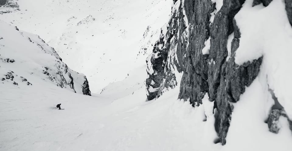
- Squamish - Woof. Above the waterfall at Red Heather. Top of the switchbacks at Rubble Creek/Black Tusk.
- Whistler - Skiable down to mid-station on Blackcomb Gondola. 7th Heaven opened!
- Duffey - A few folks have skied from the road (Cayoosh, Wendy Thompson Hut, Steep Creek) but other trails are still kinda rugged (Cerise Creek).
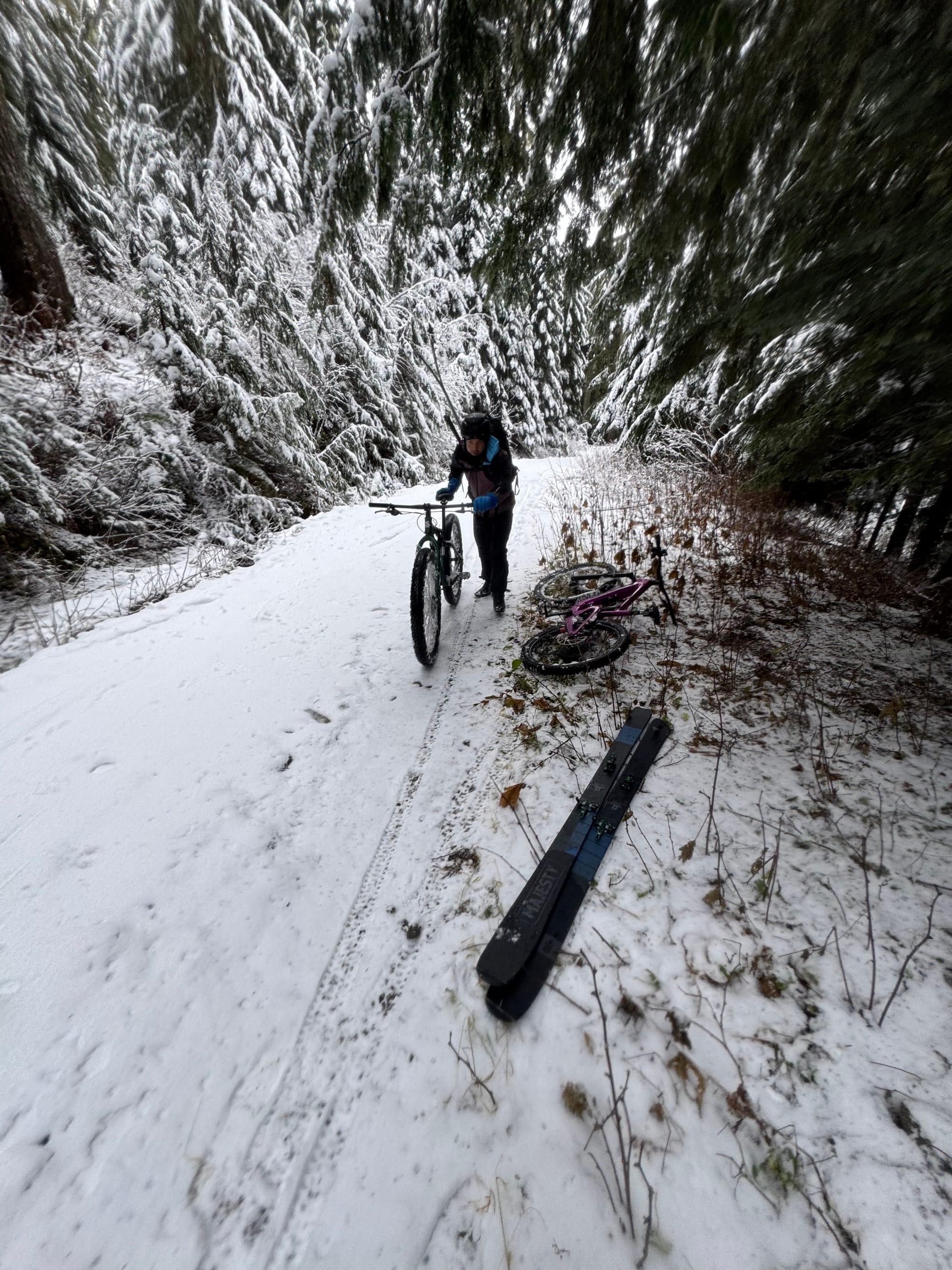
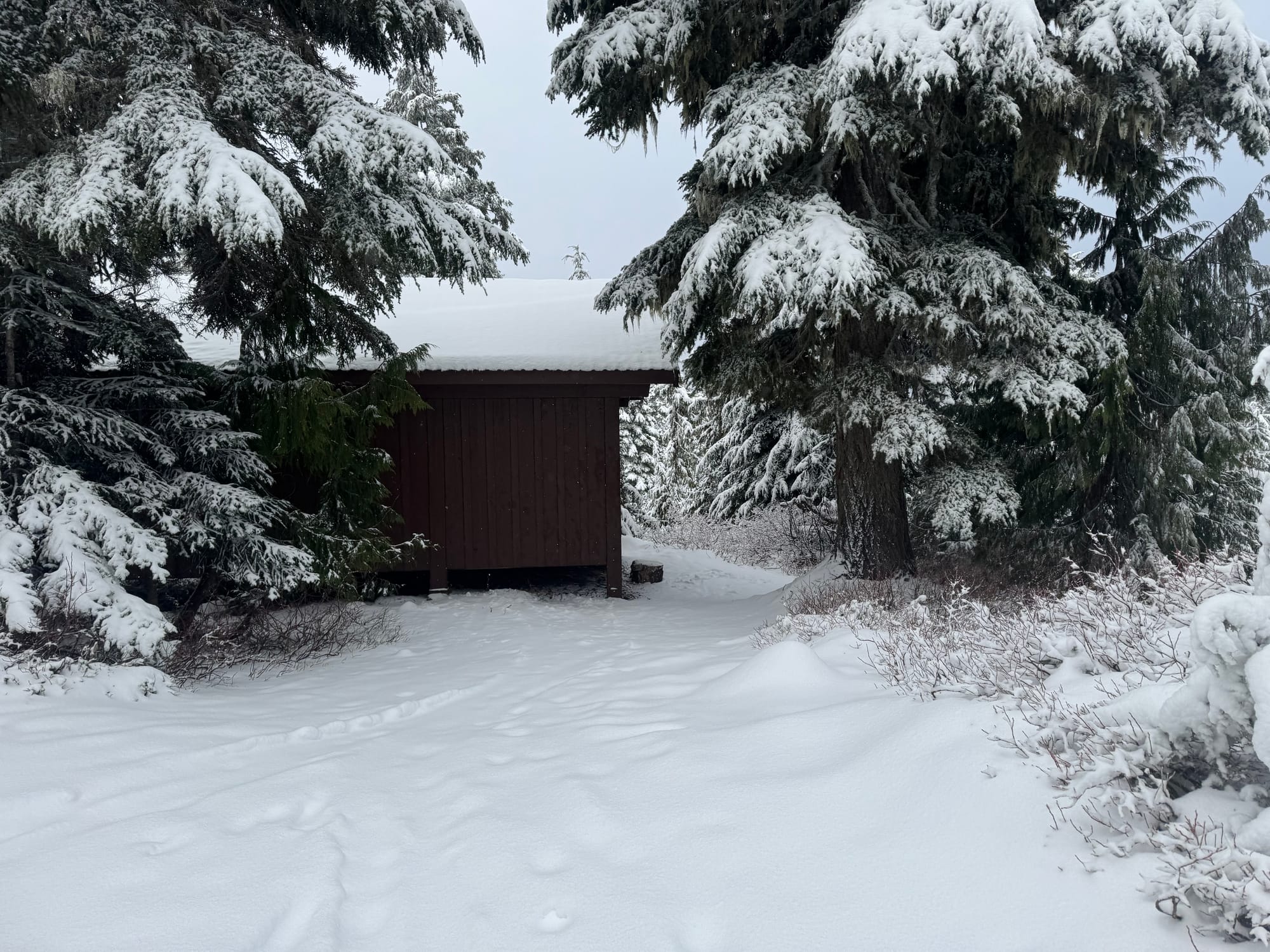

Left and centre: We went to Red Heather so you don't have to. Hopefully better next week. Right: Wedgemount IPP road on Thursday. Not enough to skin on the trail probably.
What’s happened since the last update (weather & general snowpack structure):
We’ve had natural and skier triggered avalanches throughout the corridor. The majority of the natural activity occurred during the height of the storm on Wednesday, while explosive control and skier triggered avalanches have happened throughout the week. These have been a mix of smaller (Sz 1) avalanches triggered in the new storm snow (HST) and larger size 2+ avalanches that have stepped down to the mid-November rain crust.

If we think back to last weekend, the new snow really started Saturday night into Sunday. Sunday was a windy, stormy day. Not a ton of snowfall but plenty of wind. That’s when we started hearing about new avalanches including a few skier accidentals. These types of transitions are tricky. We went from a period of high pressure and good ski conditions to rapidly changing storms that caught a few folks off guard. It’s worth keeping in mind that when we have a change in conditions after extended stability, it’s a good time to dial back expectations!
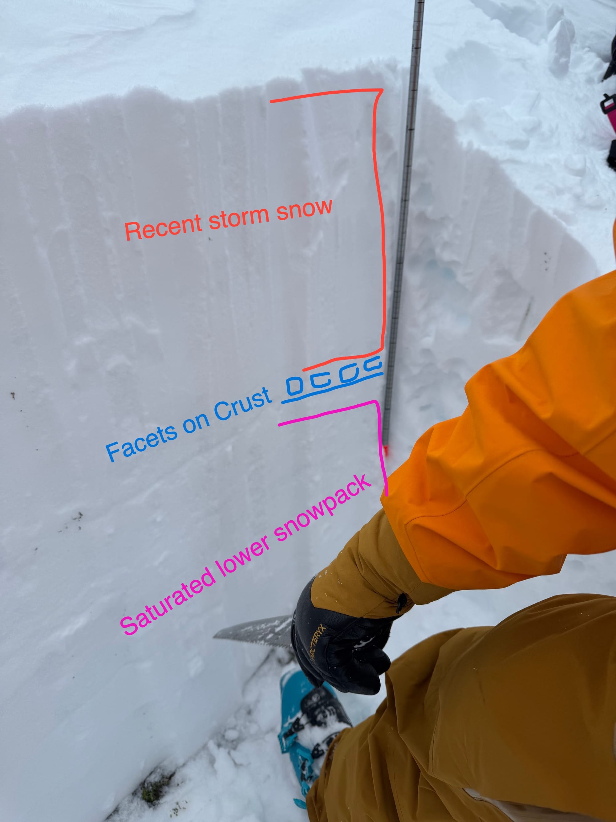
Okay, remember the mid-November crust? It’s about halfway down our current snowpack from when we saw rain up to ridgetop. This did get snowed on and seemed to be healing alright but the new snow in the second half of November was just dribs and drabs. Not enough to really squash onto that crust. Meanwhile, as November went on, we had quite a bit of good weather. People were sending. Overnight temps were cool. Facets started forming on top… Then last weekend’s storms started rolling in and we’ve got upwards of a meter of new snow on that crust-facet combo = avalanche activity picks up.
So you can think of the snowpack like this:
- Top half of the snowpack - all the December storm snow. The top 10-30cm has very recent wind related instabilities that produce small avalanches.
- Middle of the snowpack - the mid-November (snow pros are calling it Nov 17th) crust covered with a ~5-10cm layer of (rounding out) facets. This is the weak layer in the sandwich.
- Bottom half of the snowpack - all our early season snow that was saturated by the rain in mid-nov. Pretty solid.
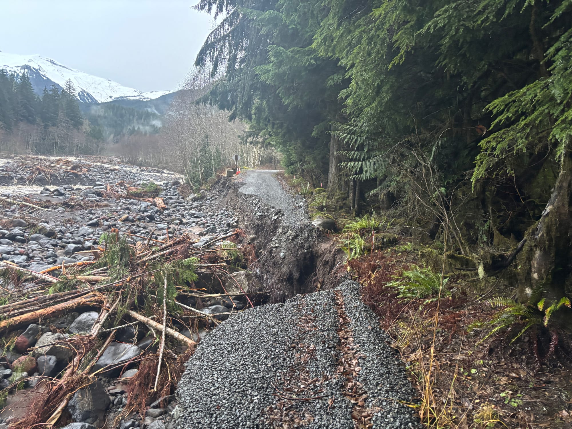
Also of note: this week’s storms have been pretty mega for precip! We got 118mm of rainfall at S2SG top station Monday - Wednesday. Flooding down south is keeping Highway 1 and a bunch of stuff in Washington closed. This storm was much warmer in WA - Mt. Baker ski area, Crystal, etc all lost almost their entire snowpacks! Also of note is the road to Heliotrope Ridge to access Mt. Baker proper has again washed out so bring an e-bike if you have summit aspirations!
What’s the weather and avalanche forecast?
Some good news and some bad heading into this weekend and early next week. Firstly, the unfavorable news: another warm front will bring rising freezing levels, showers, or drizzle across the area on Friday into early Saturday morning. A weak area of high-pressure will develop on Saturday afternoon, yielding a brief period of drier conditions.
The next strong frontal system, accompanied by a warm, moist south to southwest flow, will establish itself later Sunday into Monday, resulting in heavy precipitation with freezing levels rising to near +2000m.
The favorable news is that as we progress into the middle of next week, an upper trough or an area of low pressure will settle over the Coast, with lower freezing levels anticipated, and a decent likelihood of heavy snowfall over the alpine. It is premature to provide all the details, as all the models are suggesting cooler temperatures, which instills confidence in this pattern change.

Winds speeds:
- Friday: Southwesterly 40 gusting 70 km/h
- Saturday: Southwesterly 50 gusting to 100km/h
- Sunday: Southwest 40 gusting 70 km/h including the S2S gondola.
Freezing Levels:
- Friday: 800m rising to near 1800m
- Saturday: 1800m rising to 2000m
- Sunday: 1800-2000m lowering to near 1500m Sunday afternoon/evening before rising to 2000+m on Monday.
Precipitation:
- Friday: 5-10mm by 4PM
- Saturday: 5-15mm by 4AM
- Sunday: 5-10mm by 4AM

Avalanche activity has tapered off slightly and AvCan has rated the South Coast at moderate today but it is expected to increase again on the weekend with a pulse of new snow. Keep expectations low this weekend and watch for dips in the freezing level that might allow for good snow quality. Get as high as you can and snipe those windows!
What are my questions for the weekend?
- Will the next round of storms be more snow or rain? It looks like it will likely be a continuation of the last week or so with below zero temps the alpine (ALP), freezing around treeline (TL), and below treeline (BTL) above zero. Hopefully we get a net accumulation of snowpack at TL out of this!
- Will the long range forecast of cold NW flow coming on Tuesday play out? God I hope so…
- Should you book a flight to Terrace? Well.. yes. The skiing there looks like it’s going to be banger this weekend. If you can’t, don’t click on their forecast.
What will I watch out for or avoid completely?
- Complex avalanche terrain with overhead hazard or overlapping paths will definitely be off my list this weekend.
- BTL terrain is still really limited and not awesome. It’s also probably raining there this weekend.
Closing Thoughts:
Tough week. Next week looks better. Hang in there and watch for little windows to make the most of things! High TL storm skiing could have some promise.
For more information, check out Zenith Mountain Guides and our local avalanche forecast. Weather forecasts are custom from meteorologist Jason Ross. These updates are supported by SkiUphill Squamish - the best stop for ski touring equipment in the Coast Mountains and made possible by the Sea to Sky Gondola! Use this information at your own risk. Conditions change rapidly from when this report was written!
Member discussion