Dec 20 Sea to Sky Snow Conditions
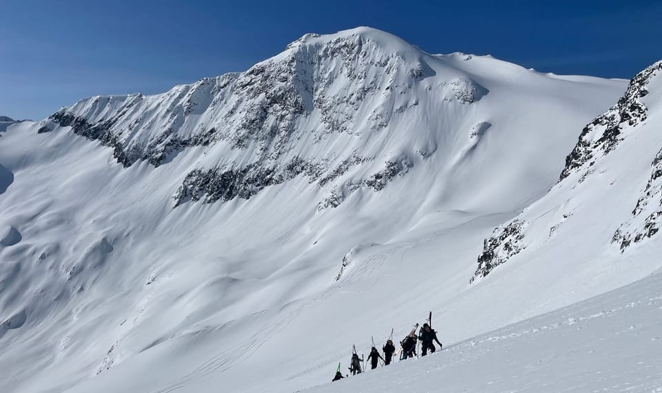
Overall Theme:
Thanks to everyone who signed on this week as a newsletter supporter! If you value this newsletter, consider joining our supporters here!
This week, the wild rollercoaster of weather continues, bringing us the first notable avalanche cycle of the season. Typically, steady weather leads to consistent avalanche conditions, while volatile weather creates unpredictable cycles—and the last week has been nothing short of chaotic. Tropical warmth, heavy wet snow, intense winds, and fluctuating temperatures have taken a toll on the snowpack.
Once the weather settles, so will the conditions. But for now, hang tight—it’s going to be a bumpy ride. Looking ahead, the forecast suggests more storms. This is a stormy time of year, and we’re crossing our fingers for cold winter air to kick out the lingering warm, moist conditions.
Where We’ve Been Skiing:
Before the warm weather and rain hit, we were skiing lots of the usual suspects around Squamish and Whistler. Over the last 24 hours, however, we’ve been more confined. Coverage has steadily improved across the region, with the Duffey and other interior ranges benefiting significantly from the recent storm. Most Duffey/Hurley locations received snow rather than rain, resulting in their highest snow totals of the season. The dense snow has started to open up more options as soon as the colder pattern returns.
Coastal areas, however, have taken a beating with high freezing levels and rain. These zones will need a solid cold storm to recover.
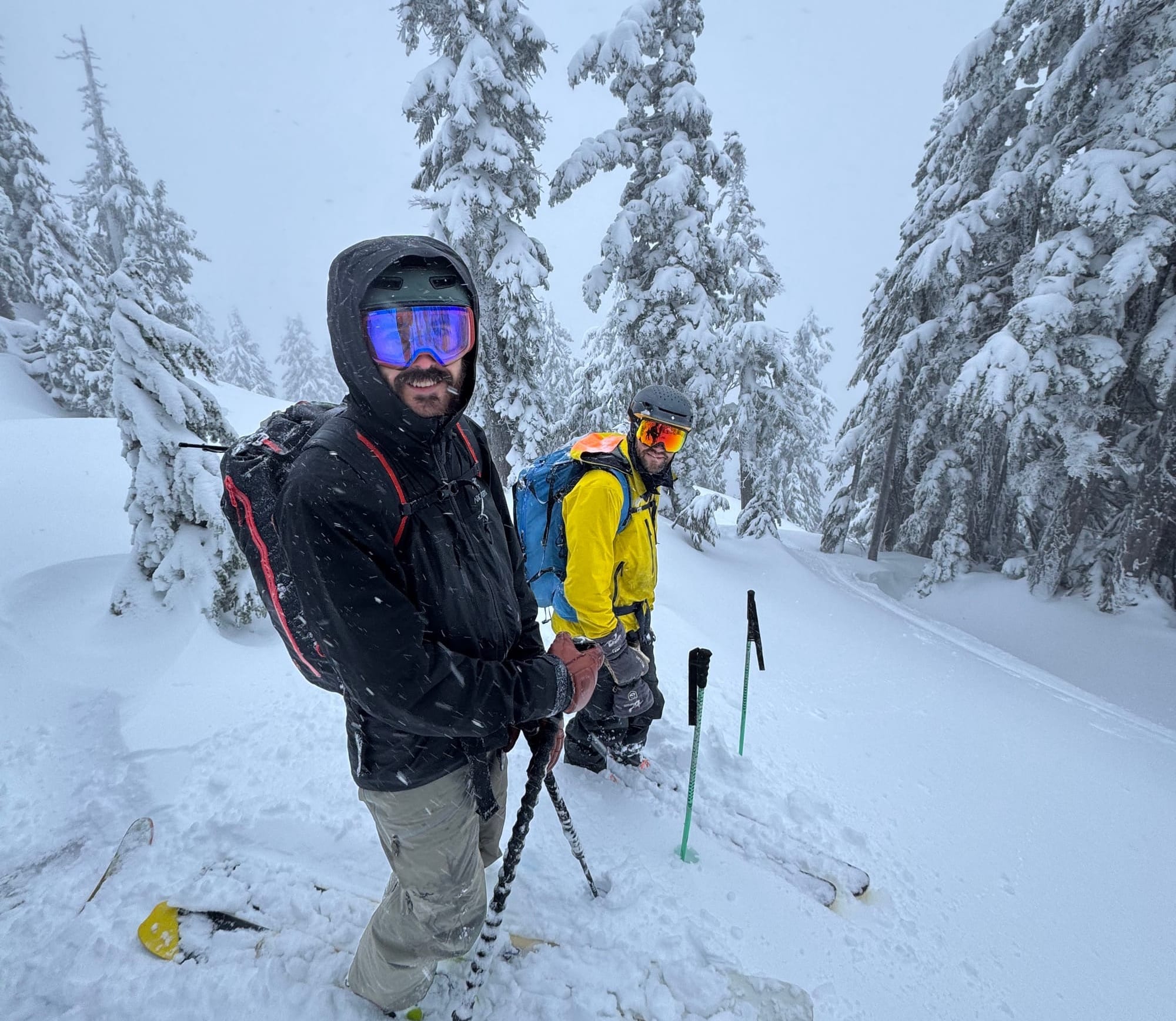
What’s Happened Since the Last Update:
As expected, the past week delivered big storms, intense winds, warm temperatures, and heavy rains. The coast rarely does things halfway! Squamish’s rainfall might have felt like Eric’s tears for the lost local snowpack, but it was actually a series of strong frontal systems with significant moisture.
Freezing levels remained below the highest peaks, helping to coat alpine terrain with a solid base. The interior ranges have been stacking up snow as well. Until colder temperatures take hold over the holidays, accessing good conditions may require lift-served terrain, sledding up roads, or driving to the Duffey.
The weekend brought a sleeper storm, improving conditions across the corridor and dropping snow even low in Squamish. This made ski-outs better and folks found some great powder skiing. Skiing in the Sky Pilot area was rewarding but wet! Early in the week, temperatures rose again, and precipitation persisted, especially along the coast. Our thick rain crust from the inversion temperatures in early december was buried by over a meter.
Mid-week (Tuesday/Wednesday), the weather brought warming and cooling cycles, triggering the first significant avalanche cycles of the season. These included naturally triggered and cornice-induced avalanches with impressive propagation. While skier-triggered avalanches were minimal during Wednesday’s brief clear weather, heightened danger and gale-force winds persisted through the week.
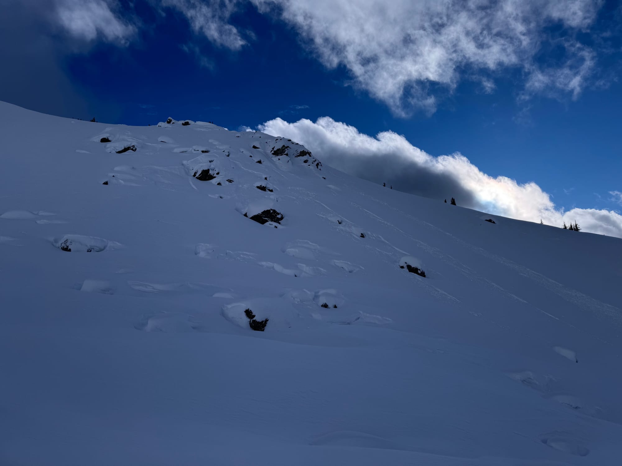
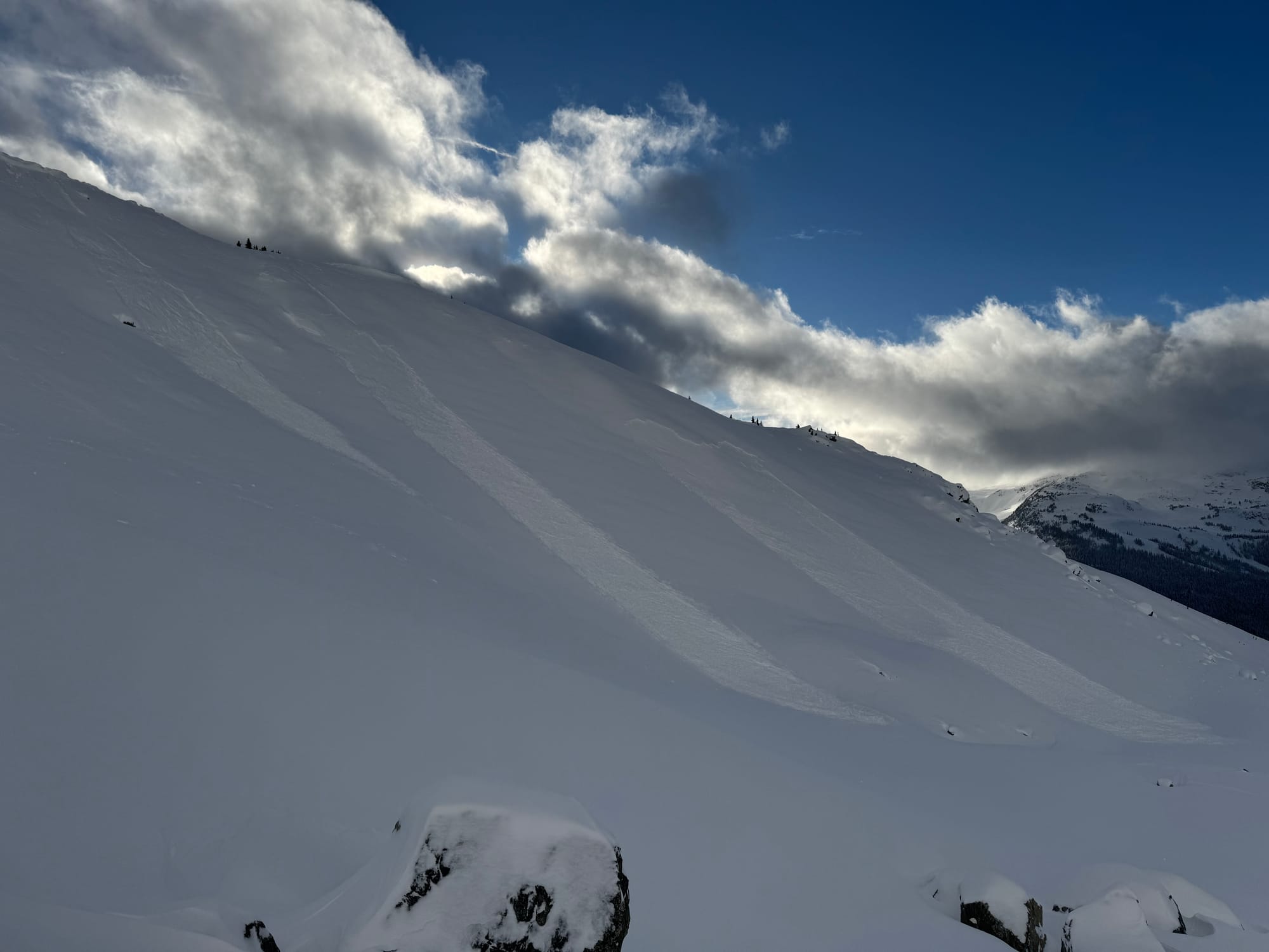
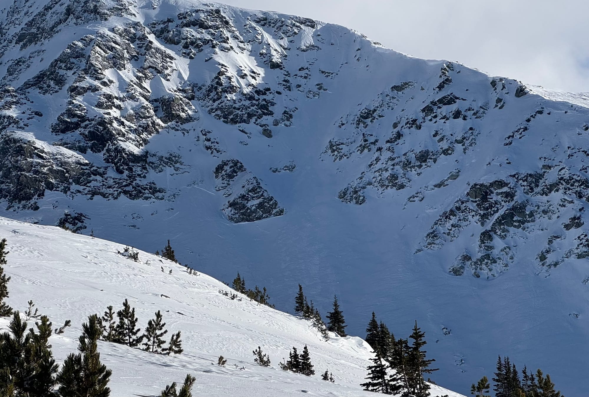
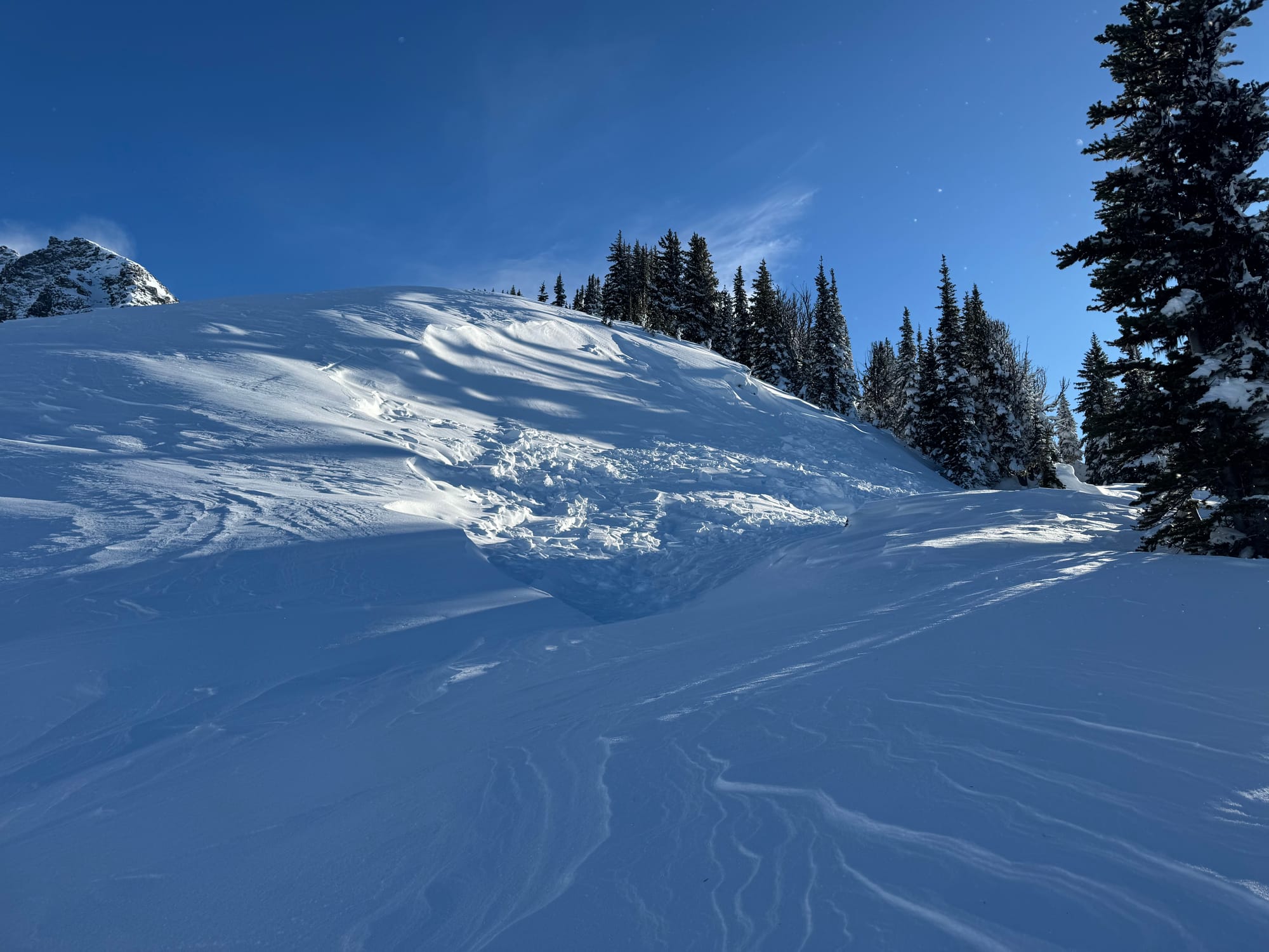
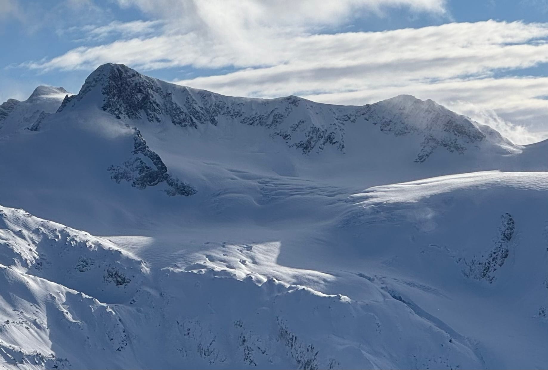
Lots of interesting natural avalanche activity visible on Disease Ridge Wednesday. Widespread natural avalanches were reported.
The combination of heavy snow loads, strong winds, fluctuating temperatures, and buried weak layers has made for complex avalanche conditions. On the bright side, widespread natural avalanche cycles have helped clear out some problem layers, and mild temperatures could further aid stabilization.
What’s the Weather and Avalanche Forecast?
A series of frontal systems with a warm south-to-southwesterly flow will keep conditions active over the BC coast for several days. A weak frontal system will bring snow to the high alpine later today, with strong southerly winds picking up along mountaintops. Additional systems are expected Saturday and Sunday, with freezing levels remaining near 2000m before dropping to 1000-1500m on Sunday. Temperatures will remain above average.
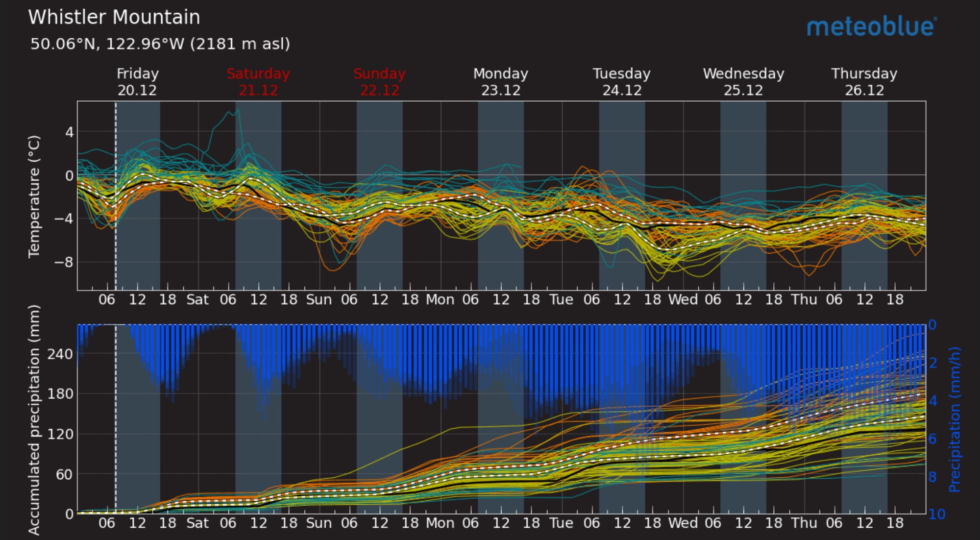
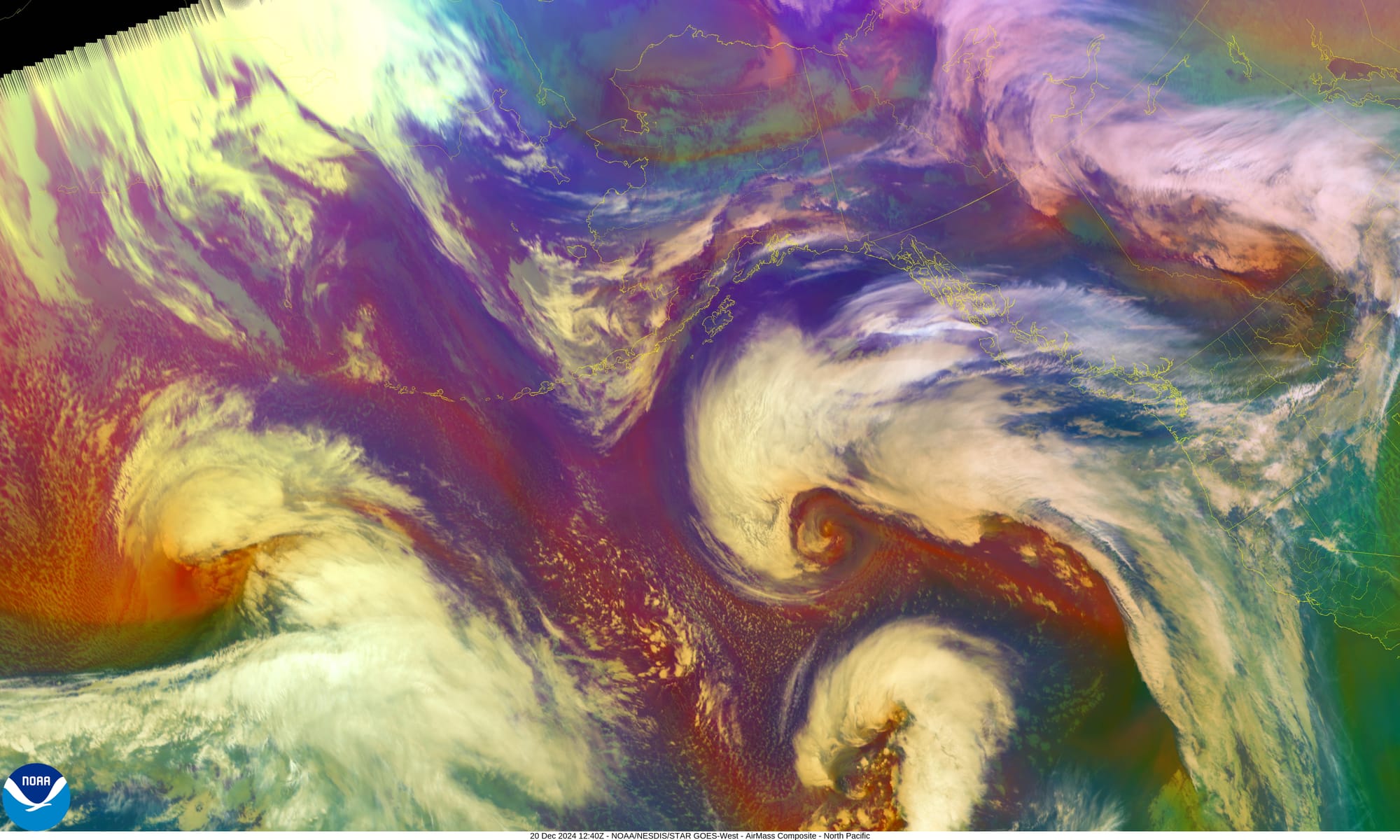
Meteoblue Multimodel forecast for Whistler showing ongoing precip and decreasing temps! (L). Image of the day Air Mass RGB (R). The Air Mass RGB is used to diagnose the environment surrounding synoptic systems by enhancing temperature and moisture characteristics of air masses.
Forecast Details:
- Friday: Strong winds, freezing level (FL) above 2000m, 5-10mm precipitation during the day, 5cm snow overnight.
- Saturday: Strong winds, FL above 2000m, trace snow during the day, 3-5cm overnight.
- Sunday: Strong winds, FL dropping to 1500m, 5-10cm snow.
- Storm Totals: 20-30cm in the highest alpine areas.
- Forecast provided by meteorologist Jason Ross.
With ongoing rain, expect a saturated snowpack near ridge crest along the coast. Further north, high peaks will see snow or mixed precipitation above 2000m. Avalanche concerns include wet loose avalanches at treeline, storm slabs, and building windslabs in the alpine.
Currently, Avalanche Canada rates hazard as considerable in the alpine, with a trend toward lower danger by the weekend. However, if winds or precipitation exceed forecasts, hazards could increase. Alternatively, if precipitation remains light and temperatures drop, stabilization may improve.
What are our questions for the weekend?
- How much and how high will it rain on Friday? Ahh the eternal question…
- How quickly will things recover with colder temps and snow on Sat and Sun? At the moment it looks like Sunday could be the start of the pattern shift!
- How quick will it change to snow and bond to the old surfaces? Last weekend’s storm started cold and dropped new cold snow on a facet crust (bad for avalanche hazard). This week we have a warm storm that will finish cold and hopefully this will help with stability and bonding!
What will we watch out for or avoid completely?
For now, we’re steering clear of coastal zones until the snow line drops. High elevation access is key, and we’re cautious of saturated snowpacks. If you plan to ski despite stormy conditions, focus on northern and higher terrain.
Closing Thoughts
Patience remains our mantra. While the storms are challenging, they’re also laying down excellent snow at higher elevations, which bodes well for the long term. Watch for freezing levels to drop Sunday, signalling a possible shift to a colder pattern!
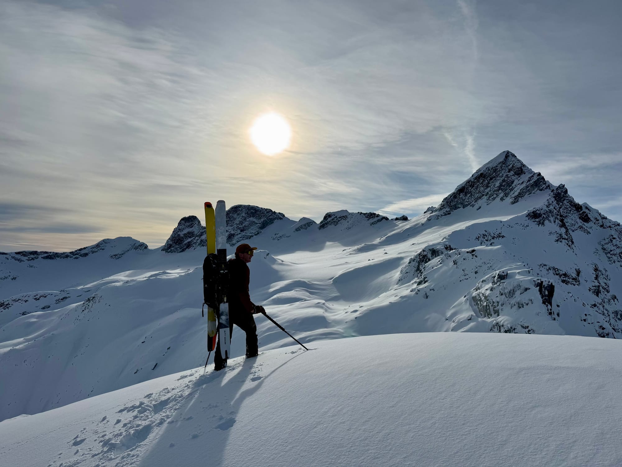
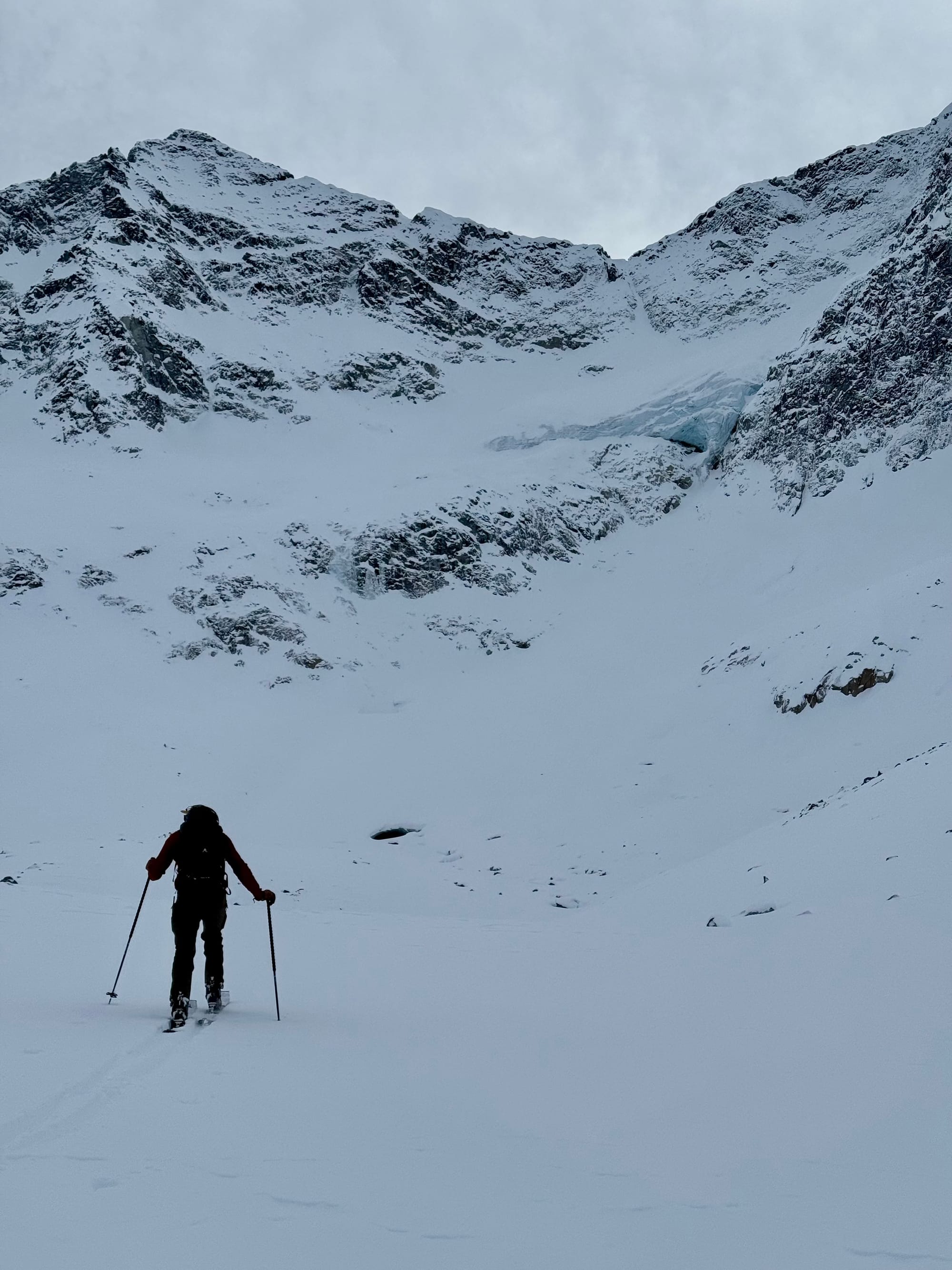
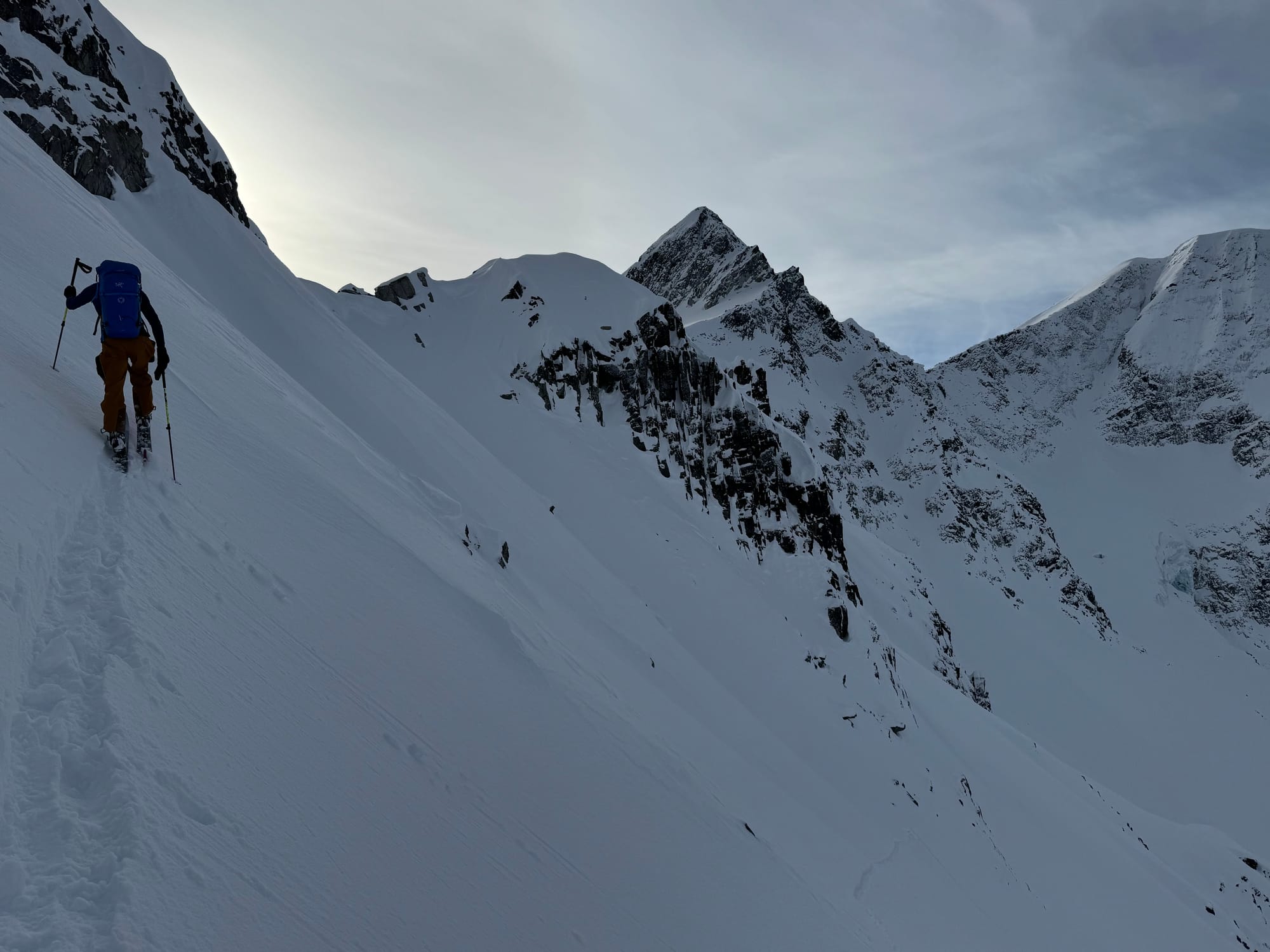
Zenith team scouting terrain around the Coast Range Heli Yurt!
Early Access to Mt. Currie Yurt & Heli-Assisted Touring
If you haven’t heard, Coast Range Heli has been resurrected by Blackcomb Helicopters. Their heli-assisted touring program includes a cozy alpine yurt behind Mt. Currie and Zenith has early access on booking dates for this season!
- The yurt behind Mt Currie makes for some great access and a cozy heated hang with some 1000m glacier runs in multiple directions.
- A two night/three day stay is an option and a great price point for some incredible skiing. You don’t have to contend with crowds or compete for a bed like the huts on the Duffey!
- On top of that, the heli assisted touring program can bump you to the top of a ton of very hard to reach places so you can tour and explore far away from everyone else.
- All of these trips are guided at a 4:1 ratio.
If you’ve been contemplating a hut trip and didn’t quite get it booked in time, or if you aren’t psyched on a full week away, come ski with us out of the CRH Yurt! If you’re at all interested, reach out via the link below and we’ll set you up!
For more information, check out Zenith Mountain Guides and our local avalanche forecast. These updates are supported by SkiUphill Squamish - the best stop for ski touring equipment in the Coast Mountains and made possible by the Sea to Sky Gondola! Use this information at your own risk. Conditions change rapidly from when this report was written!

Member discussion