
Feb 13 - Sea to Sky Snow Conditions
Overall theme:
Our misdeeds are being forgiven. A return to good skiing and a cooler wintry flow pattern. Get in touch if you want to take advantage of it!
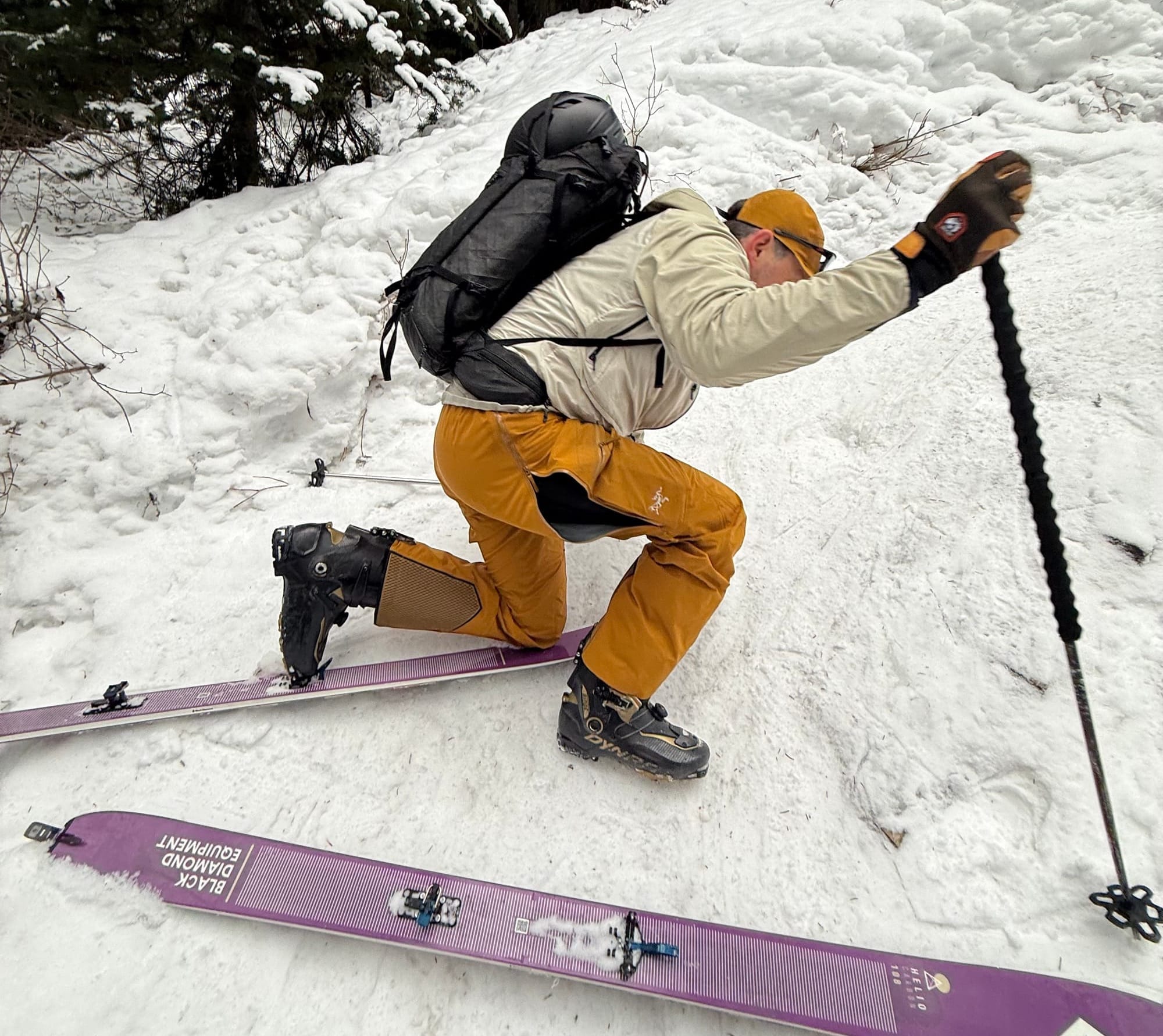
IMPORTANT! We have TWO spots left on this week's ProLines Course. This is our advanced decision making and big line course. We spend four days getting intimate with the snowpack in the corridor and figuring out how to get close to the answer of is it good to ski or not? We also get to ski some rad stuff! It's shaping up to be banner conditions for the course so it's not one to miss out on. Time to call in sick and clear the schedule...
Where we’ve been skiing:
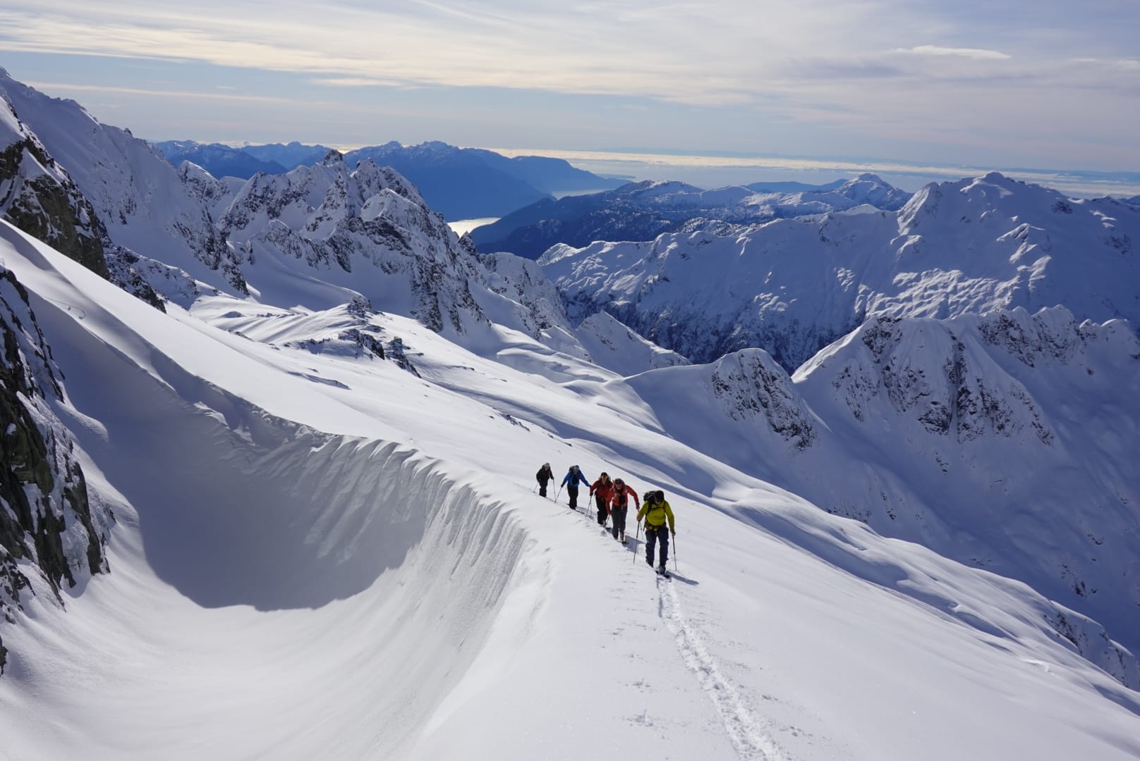
Duffey, Brohm, Blackcomb Backcountry, Mt Currie, Tantalus.
A few notes on access points:
- Red heather is walking to almost the lookout.
- S2SG has bare patches on the road that require walking on and off.
- Hanging Lake trail is gnar bar.
- Singing Pass is frozen and icy with walking in the lower ¼.
- Duffey trails are fairing better but still icy.
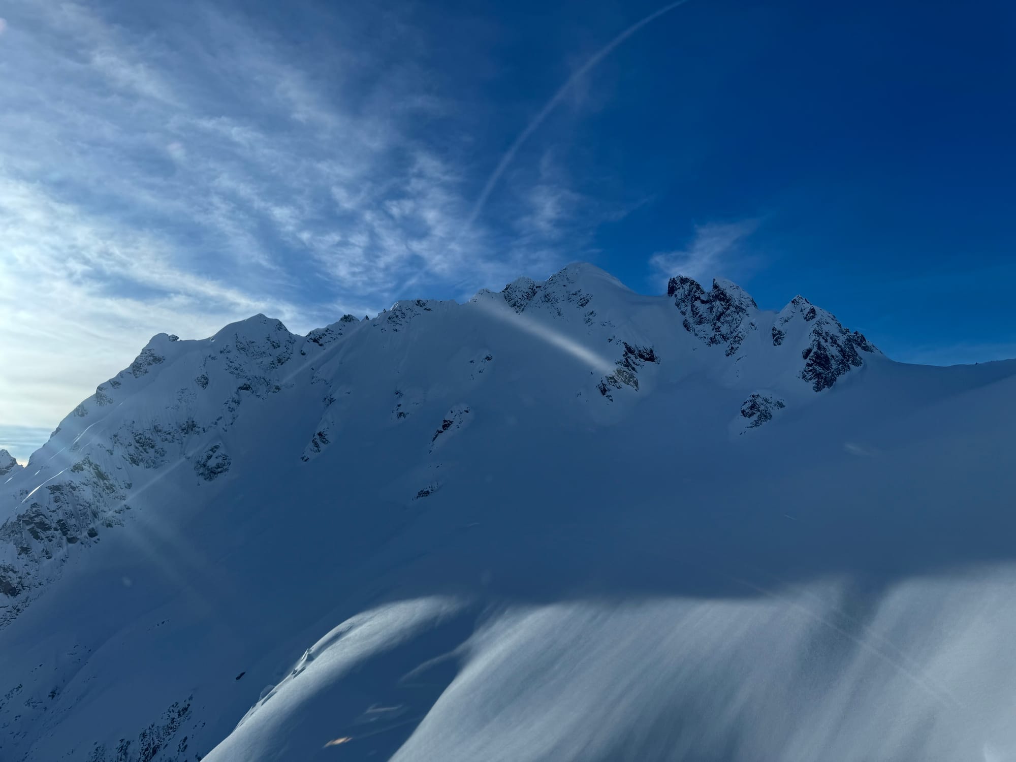
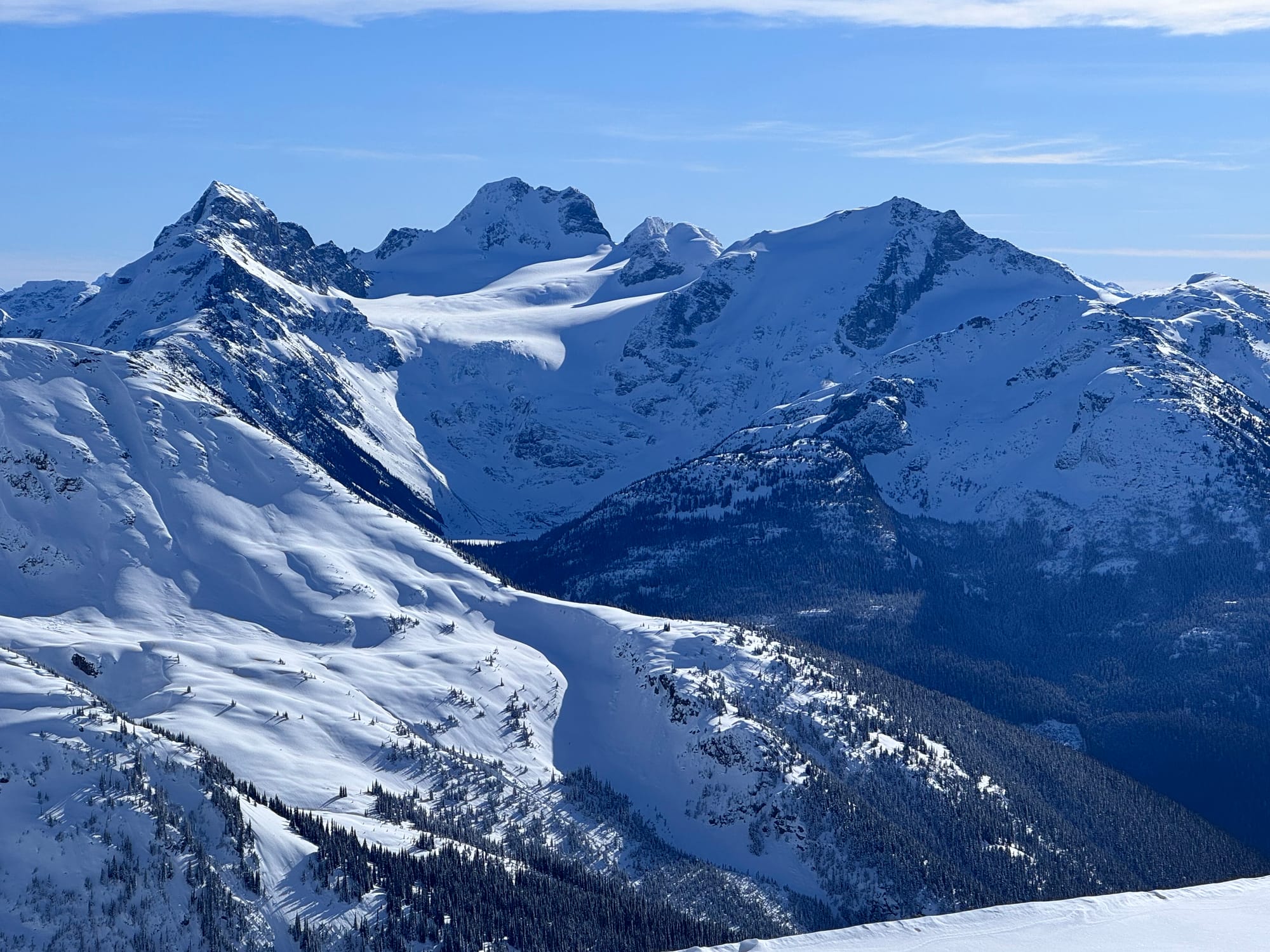
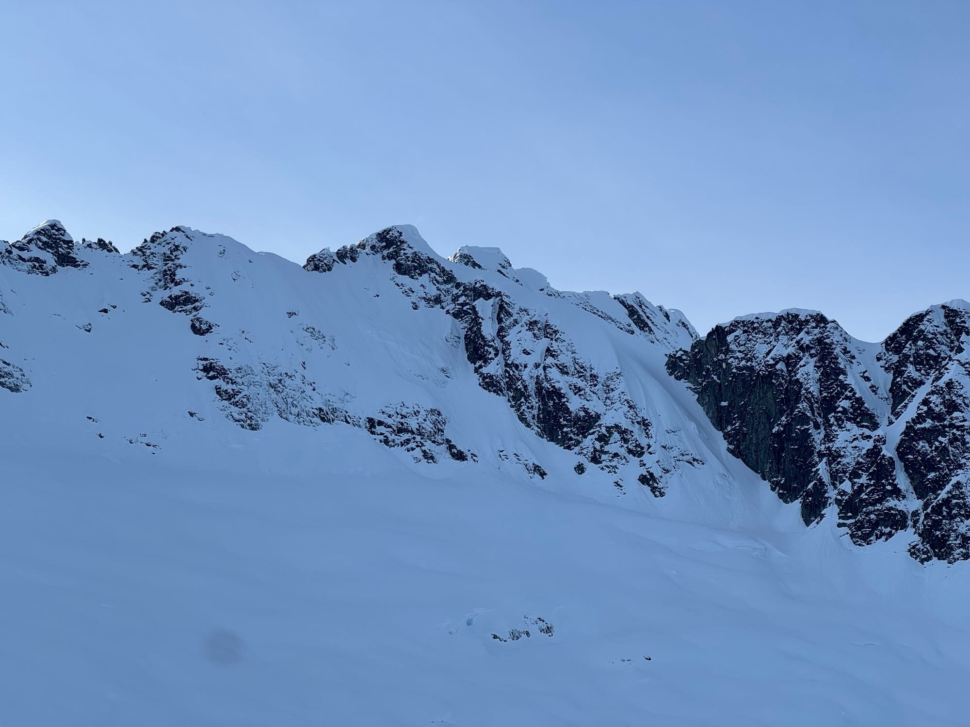
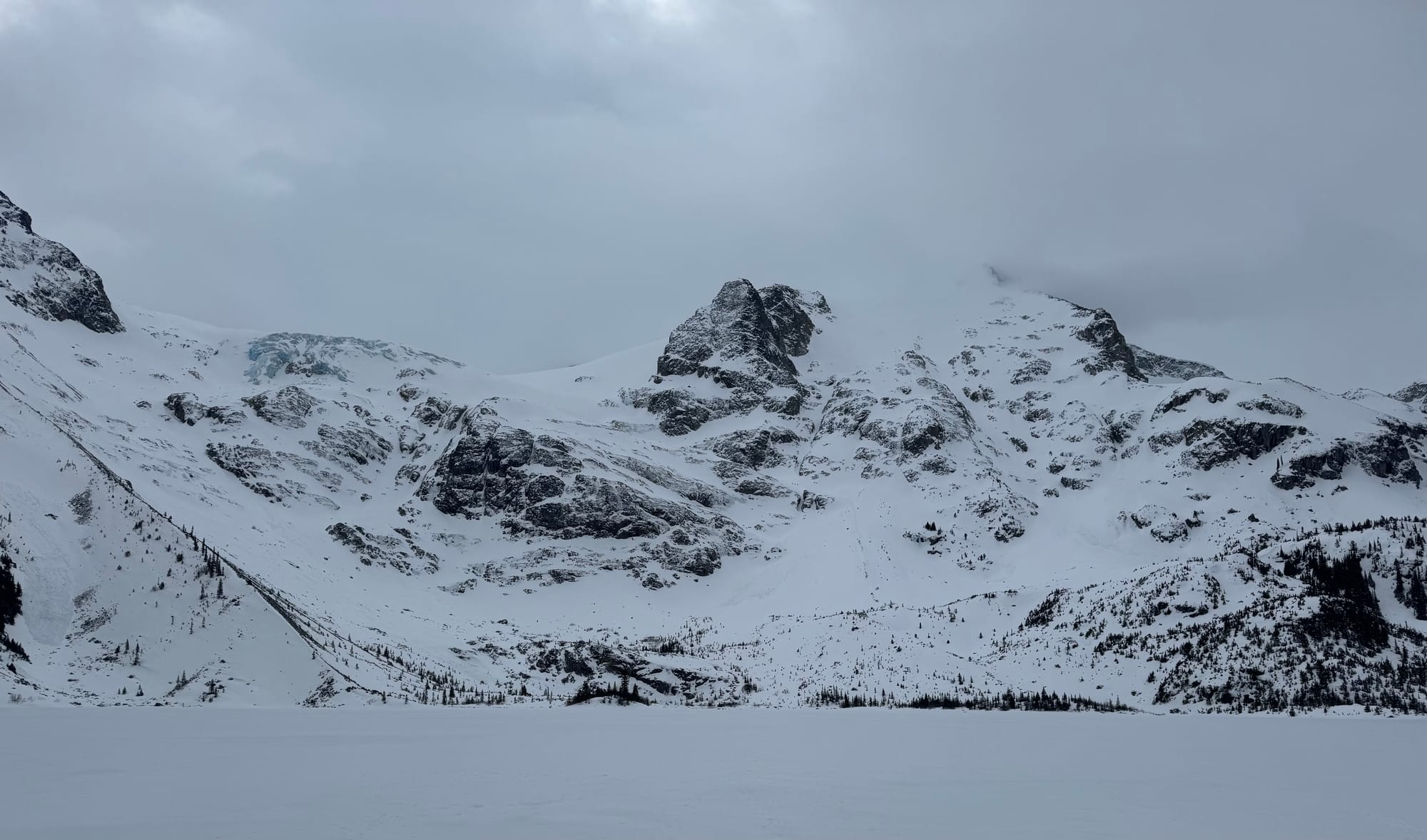
Local beta! Serratus NF, Matier Glacier zone, Whaleback on Dionne (thin!), and Slalok Stonecrop Face.
What’s happened since the last update (weather & general snowpack structure):
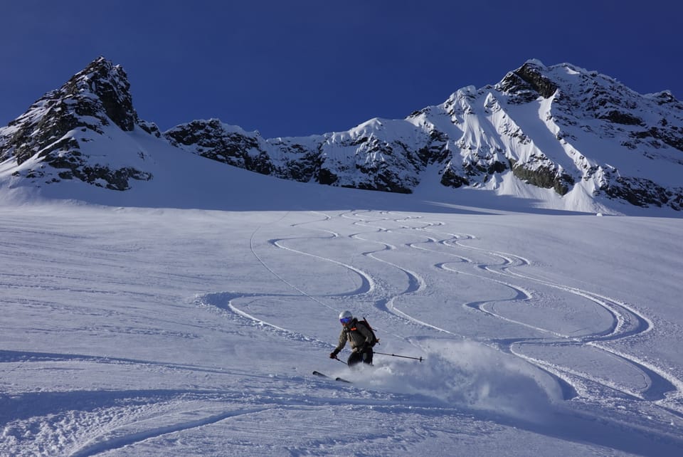
Snow, finally. It’s amazing how quickly new snow and good skiing can make the Zenith team forget about the tough times and all responsibilities other than smashing snow flakes as much as possible. We did our best to check on quality control for you all. We all agree that it felt like a classic late winter storm set up. The first pulse of moisture came in really wet, warm and windy and finished cold, dry and calm. It really glue on nicely to whatever was on the surface in our corridor (crust.. it was crust), with not too many new avalanches on the interface. This is reflected in the general avalanche danger rating dropping quickly to 2-1-1 or even 1-1-1 for many operators in the corridor. Our avalanche problem was just focused on shallow surface instabilities which mostly meant sluffing in steep terrain with skier traffic and the odd shallow and small wind slab.
The cooler, convective more zonal flow gave us another pulse or two of 5-15cm coming to a total of 50-70cm for the Squamish alpine and 15-30cm for the Duffey. The biggest limiter for travel and conditions is still elevation. Ski quality and coverage is still best over 1500-1800m from Whistler to the Duffey. Squamish has reset a little better, but still not amazing down low, keeping us from enjoying the Squamish snow sliding until a bit more fills in. For the Duffey this means use the easiest trails to get to that elevation and expect a death defying slide in/out below. Joffre Lakes was rather harrowing yesterday!
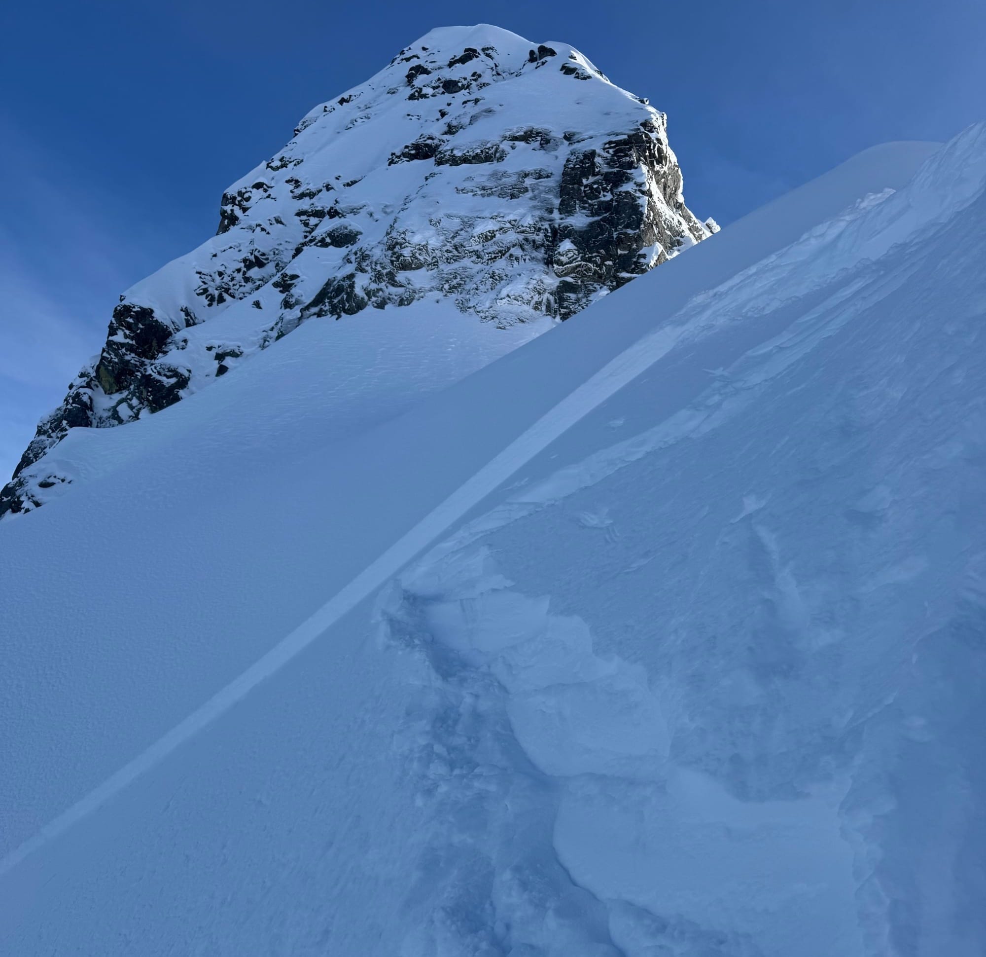
As we type this, another 5-15 cms with more coming is stacking up with light winds. The alpine and open tree line locations will offer up some of the best ski quality of the season over the next few days. BTL remains grim and requires strong quads and sharp edges. Many of us had one of the top days of the year on Wednesday and the pattern and snowpack are setting up for repeat days if the sun breaks. The biggest hazard out there is still the barely buried frozen avalanche debris from the big warm up, especially further north. Tread carefully in the flat light!
Avalanche activity in the corridor? Sluffing and small wind slabs to size 1 was most of the action. Nothing too big to report outside of that.
What’s the weather and avalanche forecast?
A weak frontal system is expected to move through the south coast on Friday, bringing showers to the coast and flurries to the alpine. An upper trough will bring unsettled conditions on Saturday with showers for the coast and flurries for the alpine with the freezing level near 1000m. High pressure will build briefly over the area on Saturday evening into Sunday, resulting in dry conditions. Another weak system over the Gulf of Alaska will move southwards along the BC coast on Sunday evening into Monday morning, bringing some snow along the S2S ranges. Looking ahead at the long-range forecast for western Canada next week, cold air from Alaska and the Arctic is expected to move south into Yukon and then spread into northern BC. The cold signal in the models over the Arctic has strengthened compared to previous forecasts, increasing confidence in the likelihood of a colder pattern setting up over the province, with high pressure over the interior, leading to colder conditions over the coastal areas.
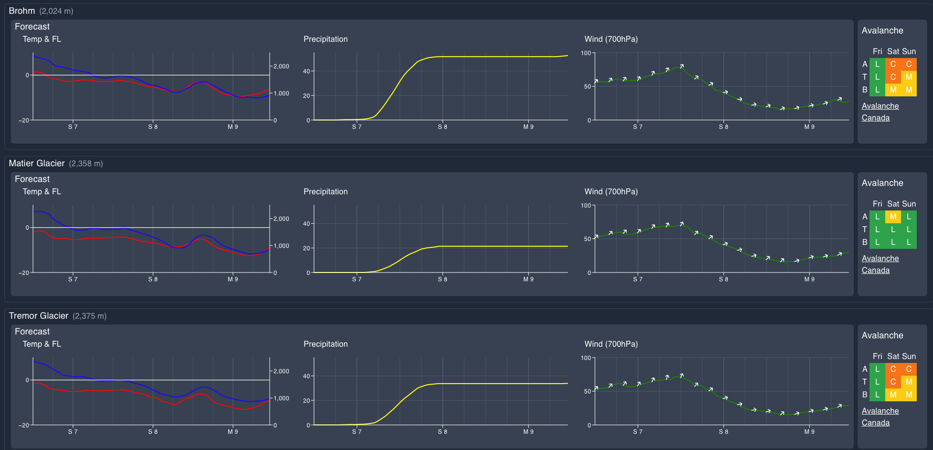
Wind Speed:
- Friday: Southwesterly 40 gusting 70 km/h.
- Saturday: Southwesterly 15 gusting 30 km/h.
- Sunday: Northerly 20 gusting 40 km/h.
Sea to Sky Freezing Levels:
- Friday: Near 1000m rising to near 1200m Friday afternoon.
- Saturday: 500m rising to near 1000m.
- Sunday: 500m rising to near 1000m.
Precipitation:
- Friday: 5-10cm by 4 PM.
- Saturday: 1-5 cm by 4 AM, trace to 2cm by 4 pm Saturday.
- Sunday: Nil.
Avalanche hazard has generally been moderate to low with a focus on wind slabs. These are out there, Eric kicked off a size 1.5 in the Tantalus on Wednesday immediately at ridgetop.
What are my questions for the weekend?
- How much new snow will stack up?
- Will the wind actually not blow much?
- Will we get any sunny breaks to enjoy some alpine visibility?
If these three things line up, it’s go time!
What will I watch out for or avoid completely?
- Debris zones and tree skiing. It’s still rugged out there at lower elevations and in the runouts of the big paths.
Closing Thoughts:
The Zenith team may be slow to respond to messages this week as we will happily be out continuing our mission of smashing as many snowflakes as possible but if you’re ready to bump into the Tantalus to participate, send us a message!
This week will offer up some amazing ski quality, so get in touch if you want to take advantage of it. There’s a few seats left to heli ski with us at Coast Range Heli Skiing or get out ski touring with Zenith! See you all at SkiUphill tonight to swap stories of the epic skiing this week.
For more information, check out Zenith Mountain Guides and our local avalanche forecast. Weather forecasts are custom from meteorologist Jason Ross. These updates are supported by SkiUphill Squamish - the best stop for ski touring equipment in the Coast Mountains and made possible by the Sea to Sky Gondola! Use this information at your own risk. Conditions change rapidly from when this report was written
Member discussion