
Feb 20 - Sea to Sky Snow Conditions
Overall theme:
Finally we’ve had a stint of real winter! We’ve had relatively unsettled convective weather but that generally treats us pretty well this time of year. If this pattern continues (perhaps even with a big storm or two mixed in), we’re in good shape!
Where we’ve been skiing:
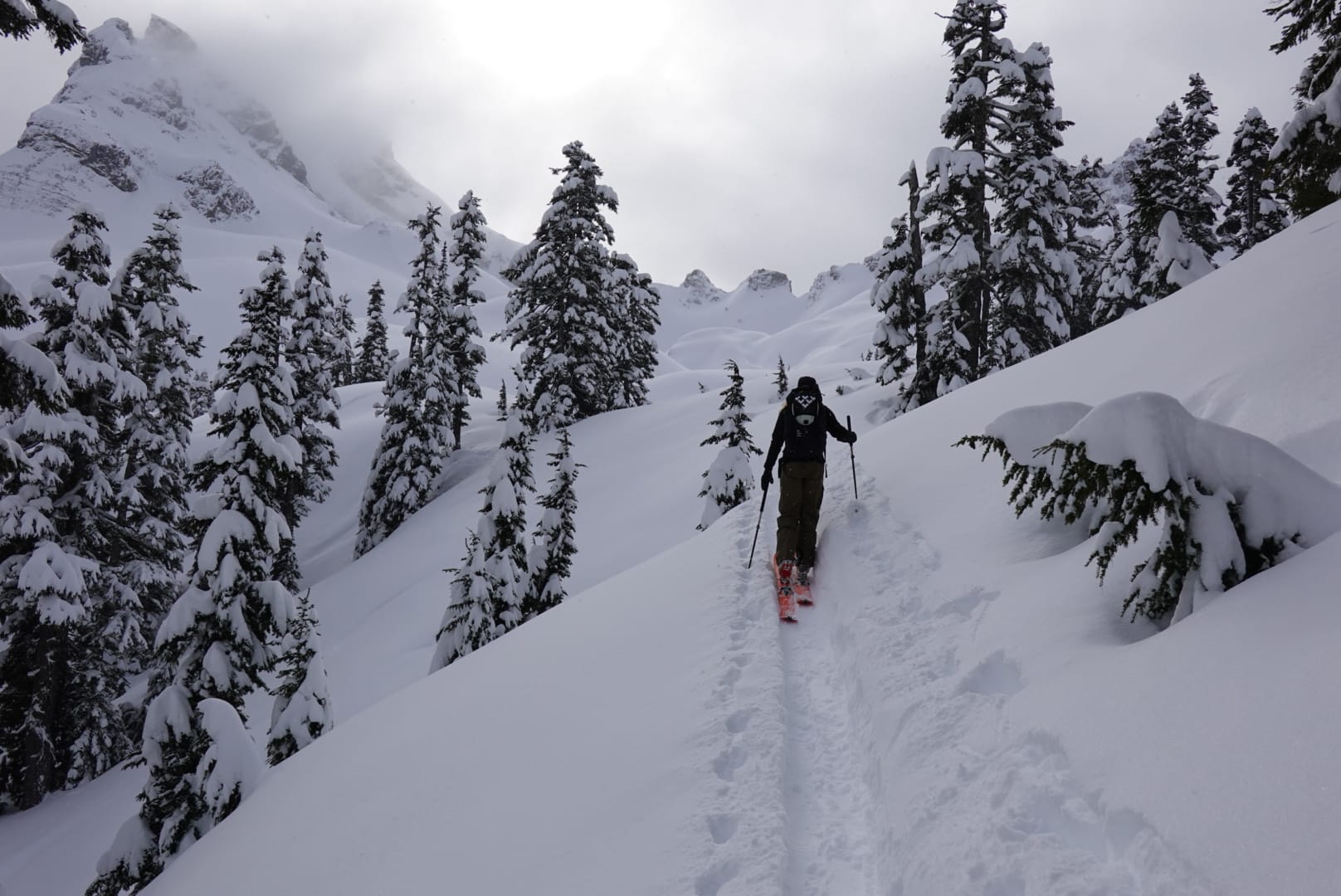
Currie, Blackcomb, Duffey, Nch’Kay, Sea to Sky Gondola. We’ve skied a whole variety of terrain from mellow glacier cruising to quite steep. Existing frozen debris has been the primary hazard that’s kept us out of terrain, while short periods of rapid loading and sluffing in the steeps were our main avalanche concern.
Low elevation trails are improving. Still rocky for the first 10min of the Red Heather Trail (the road is icy AF). Gondola road is improving with a bit of gravel here and there. Whistler ski out is good but Singing Pass sounds rugged.
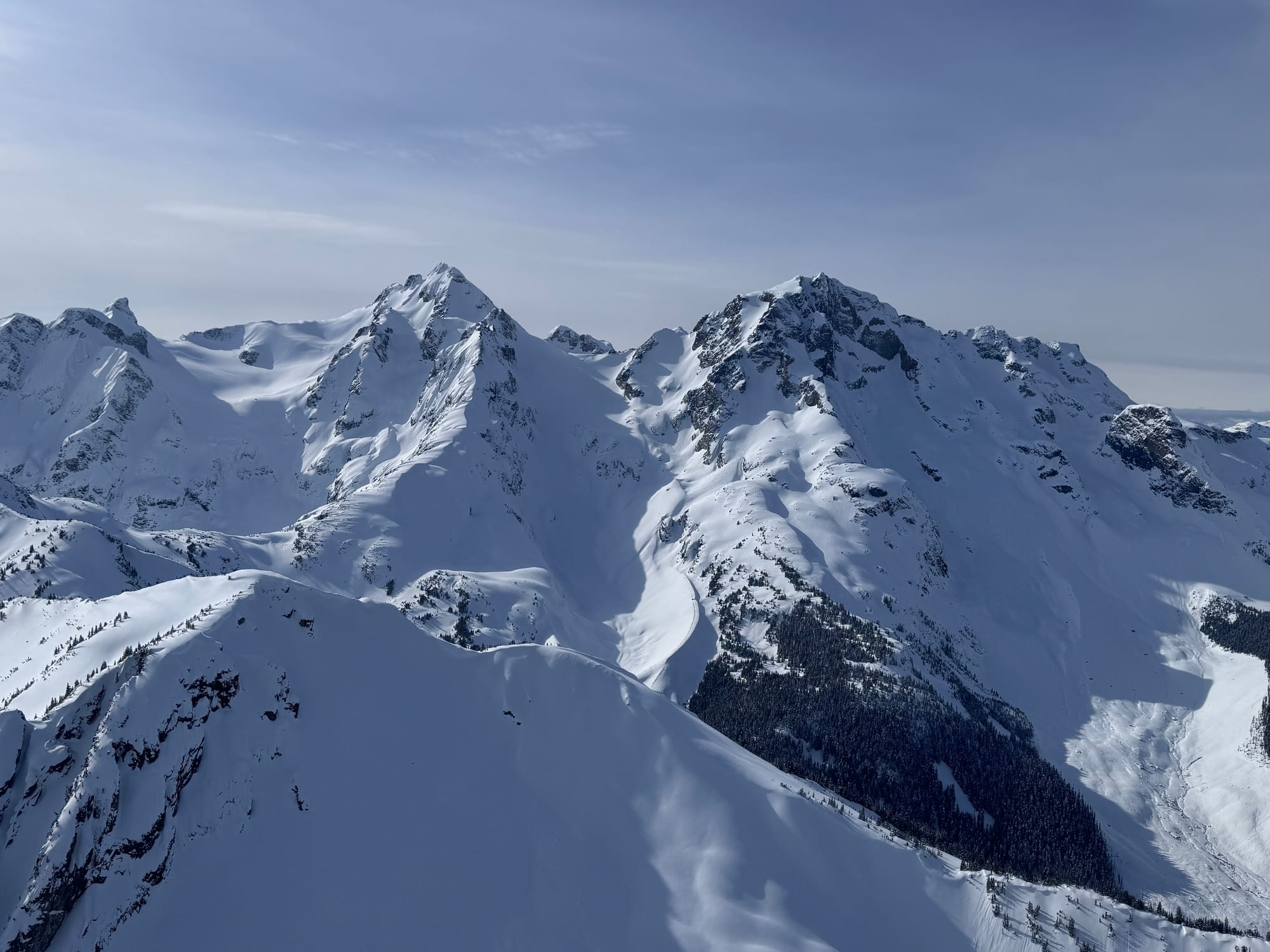
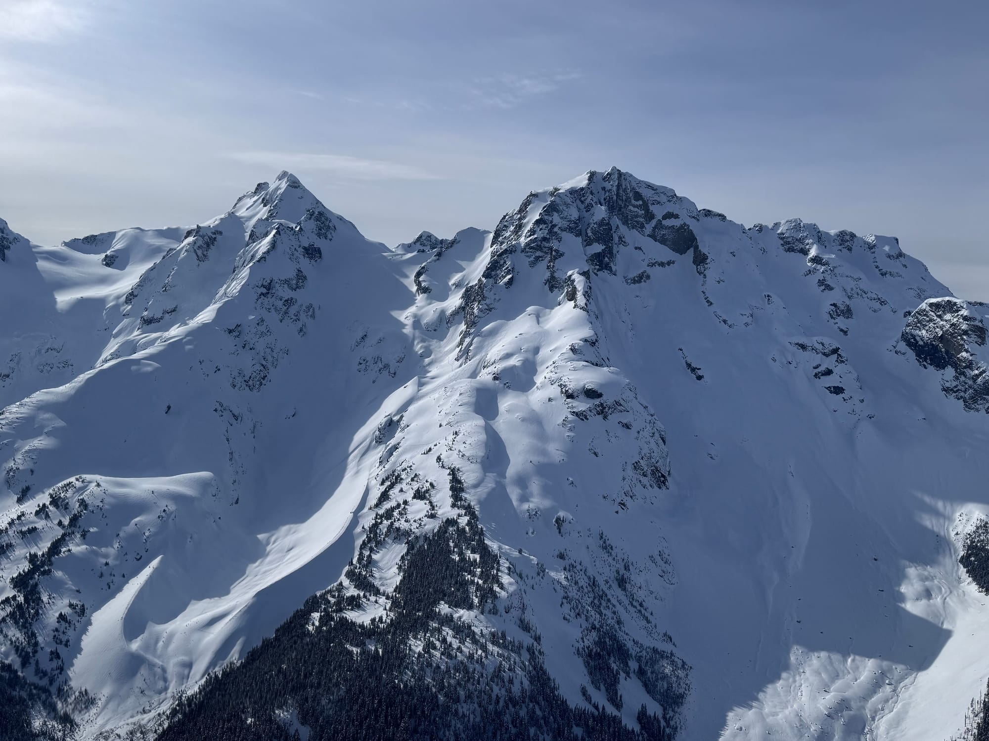

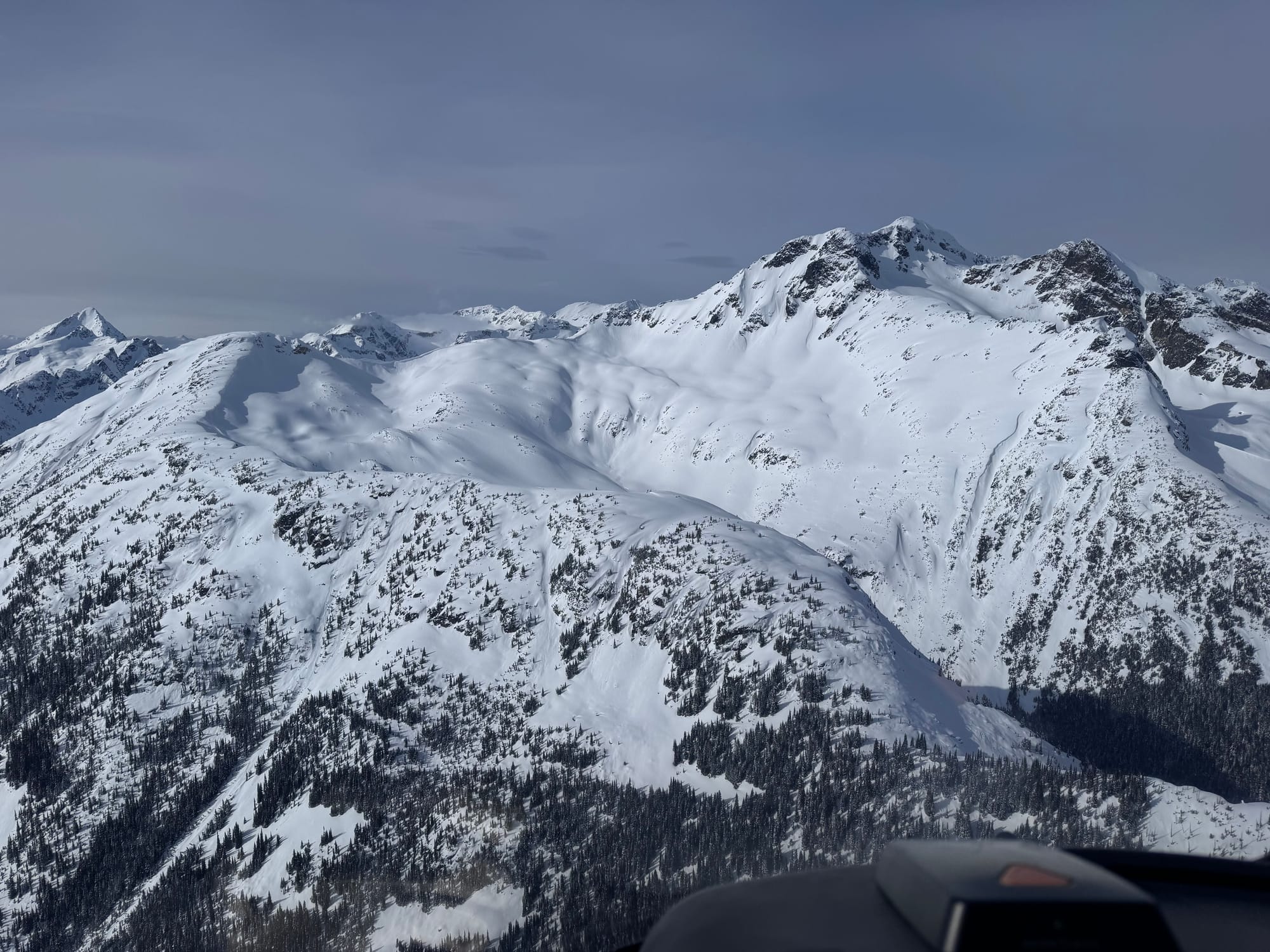
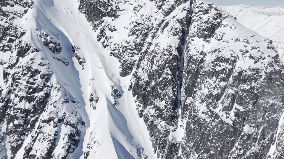
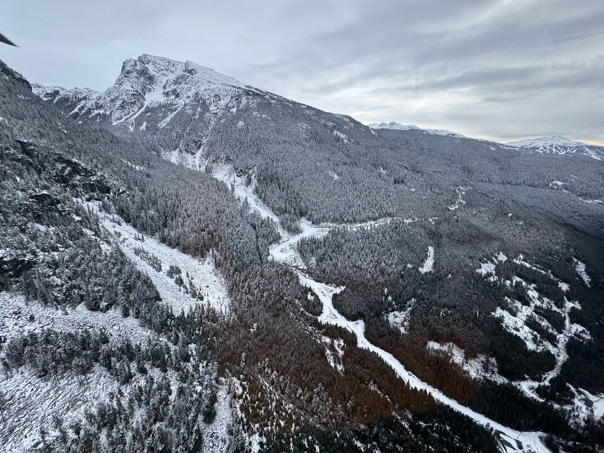
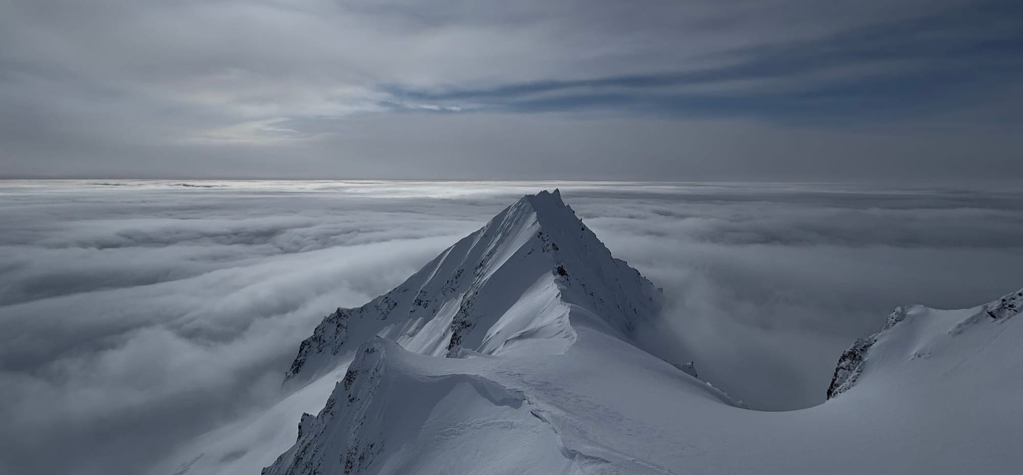
Feb 20 Duffey Conditions photos. Thanks Coast Range Heliskiing!
What’s happened since the last update (weather & general snowpack structure):
Avalanche activity has been mostly size 1 wind slab and heavy sluffing. We heard of one involvement over the weekend in the Sky Pilot area that resulted in lost equipment. This happened during a rapid loading period in one of the higher precip areas (good work on the MIN whoever posted!).
Weather has been a mix with some clearing but lots of unsettled convective conditions. These produce sleeper snowfall amounts - we’ve had a few nights waking up to more than expected. For the most part, wind was light with the exception of some outflow wind near Howe Sound on Thursday. Cold temps are keeping the snow feeling fresh and soft. Our first real Fist density snow of the season here on the coast!
In general we have a low and progressive density upper snowpack that sits on a variety of old crusts. In some areas it has been redistributed into wind slab but these slabs do not seem very cohesive.
What’s the weather and avalanche forecast?
A transient ridge of high pressure over the south coast will maintain dry conditions on Friday. An upper-level low will migrate down the BC coast from the Gulf of Alaska and remain offshore throughout the weekend, generating multiple waves of precipitation that will affect the area until early next week.
Wind Speed:
- Friday: Southwesterly 20 gusting 40 km/h.
- Saturday: Southerly 20 gusting 50 km/h.
- Sunday: Southerly 40 gusting 80 km/h.
Freezing Levels:
- Friday: Surface rising to near 400m Friday afternoon.
- Saturday: Surface rising to near 1000m.
- Sunday: 500m rising to near 1200-1500m.
Precipitation: Snowfall totals of 30-50 cm are possible for the high alpine by Monday.
- Friday: Nil.
- Saturday: Trace to 5cm by 4 pm Saturday.
- Sunday: 5-10cm by 4 am, 10-15cm by 4 pm.
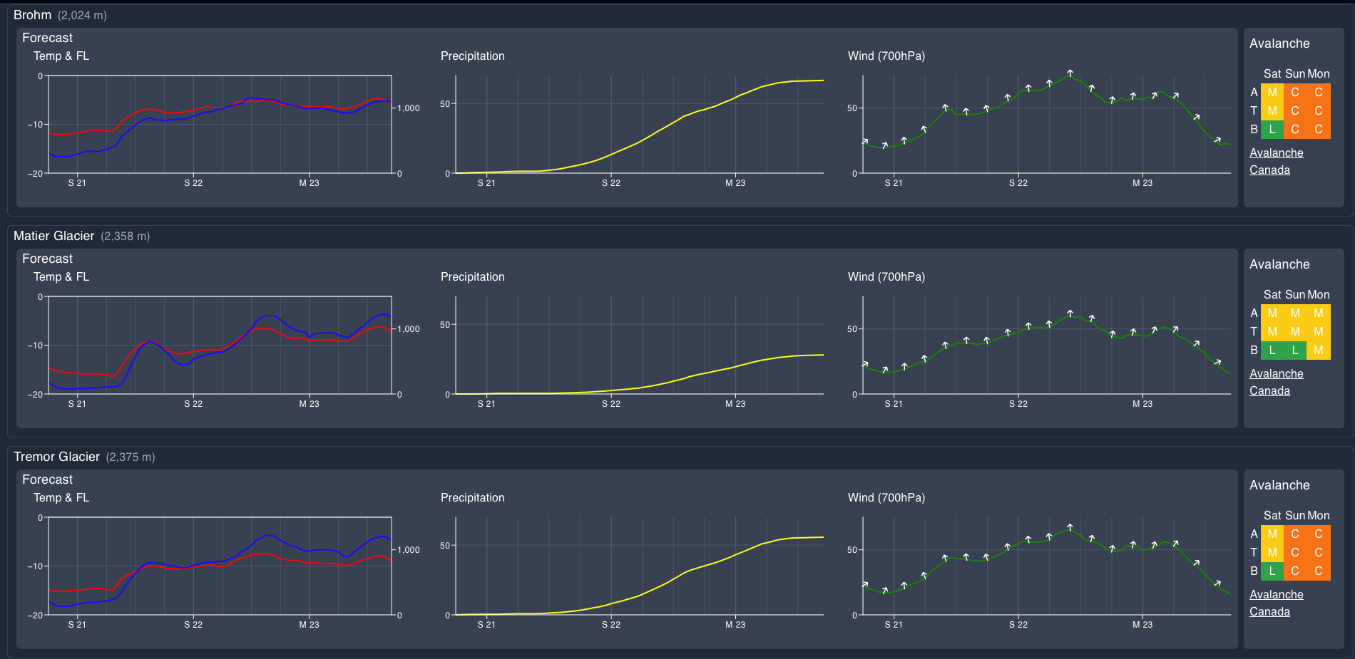
Avalanche hazard is moderate to low for the time being but watch the timing and intensity of the storm. Likely that we’ll see hazard spike in the Coastal areas with the arrival of the storm while the Duffey/interior is expected to see less snow and will stay at a reduced hazard.
What are my questions for the weekend?
- What’s the timing of arrival for the weekend storm? It’s been going back and forth from starting on Sat night to Sun night.
- Did Thursday’s north wind create meaningful windslab?
- Which parts of the corridor will pick up the most new snow? Will we get low elevation trailheads/BTL filling back in?
What will I watch out for or avoid completely?
- We’re in a very stable period this past week with potential for a big storm rolling in. I’ll be watching for classic storm slab up high while it’s happening. Visibility may push us out of the alpine as the major limiting factor but I’ll be thinking about what’s overhead as well. A perfect example would be crossing the Home Run path at the Sea to Sky Gondola. It may be at BTL/TL but it’s start zone is way above and will certainly be loading!
- Cold has also been a bigger concern than normal. With the storm, we’ll see temps rise a little bit but remember when it’s negative double digits, any issues get compounded!
Closing Thoughts:
It’s been a heck of a week! We have a good chance that the weekend will continue to be excellent skiing with visibility as the major limiter. Treeline elevations are skiing excellently and we may even see BTL start to shape up a little better. If your objectives require better vis, best to head north while closer to the Coast may see quite good pow skiing!
For more information, check out Zenith Mountain Guides and our local avalanche forecast. Weather forecasts are custom from meteorologist Jason Ross. These updates are supported by SkiUphill Squamish - the best stop for ski touring equipment in the Coast Mountains and made possible by the Sea to Sky Gondola! Use this information at your own risk. Conditions change rapidly from when this report was written!
Member discussion