
Feb 27 - Sea to Sky Snow Conditions
Overall theme:
A tale of two snowpacks. In one story we have a saturated snowpack that’s been slurped by wet slab avalanches. In another story we have a persistent weak layer that’s lurking beneath, causing problems. Where do these stories intersect? That’s going to be a fun surprise.
Where we’ve been skiing:
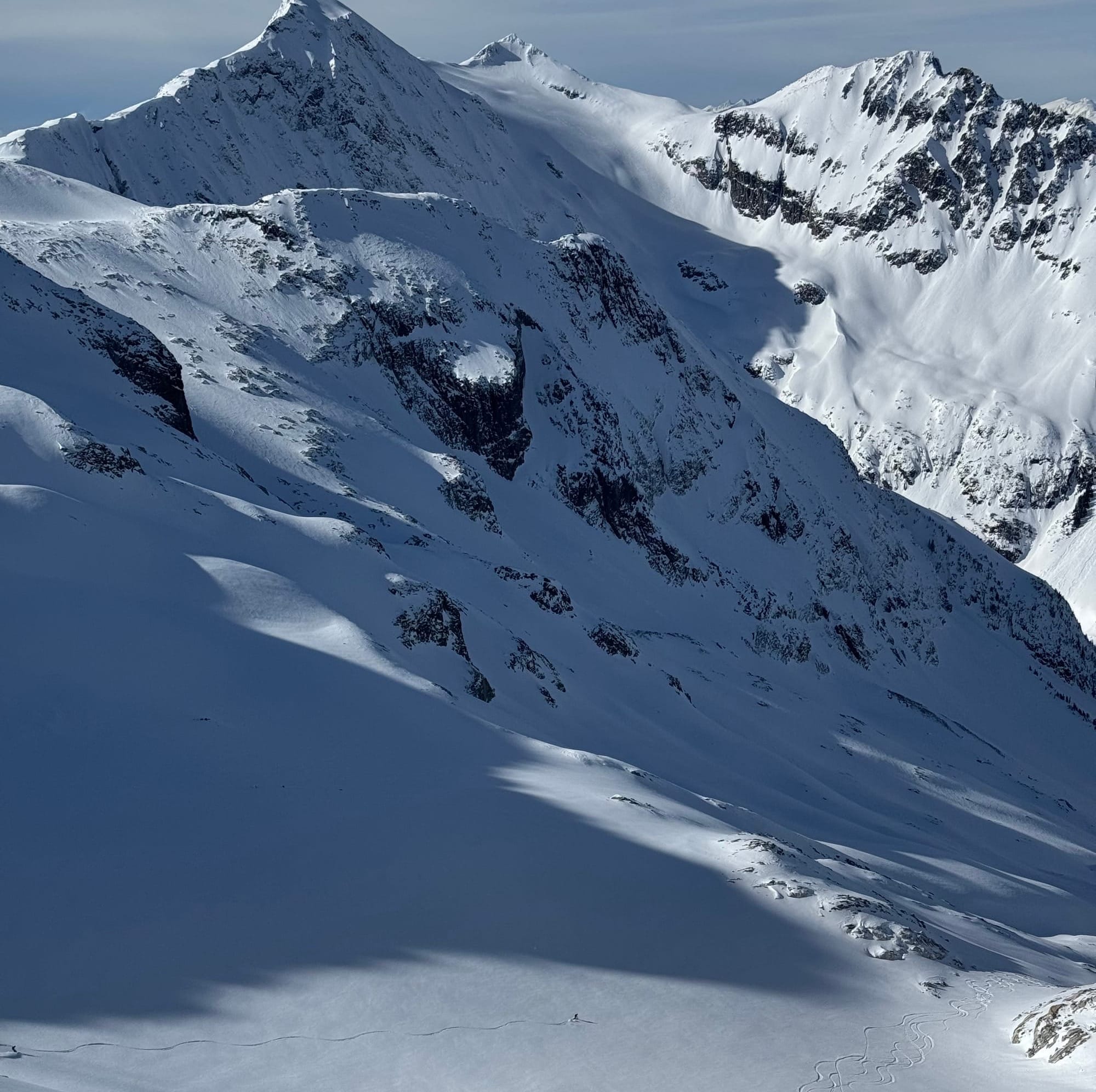
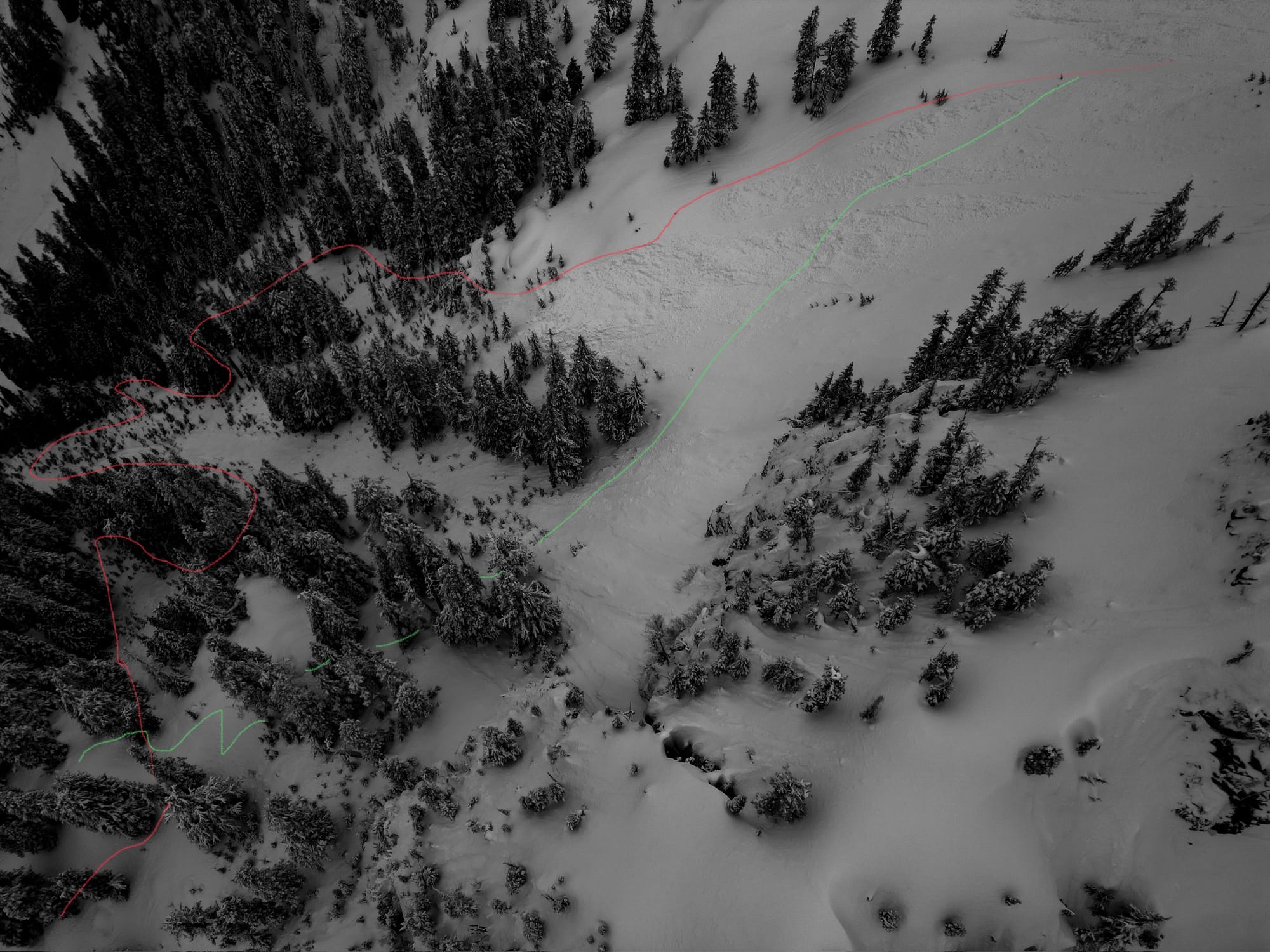
Sea to Sky Gondola, Blackcomb Backcountry, and the Currie area. The skiing has been decent. Mostly of note is that below treeline is losing coverage quickly and is much more of a battle. If you can get above the snow line, life is pretty good but there is definitely currently an elevation level below which the snow is quite saturated!
What’s happened since the last update (weather & general snowpack structure):
Wow - where to start? Last weekend was the big storm. It dumped a big load on our anemic snowpack and produced a pretty substantial avalanche cycle for our area. On the weekend, large natural avalanches were widespread. There was a mix of rain and snow near the coast, and primarily snow further inland. While avalanche hazard was high, this made for decent skiing into the week. Wednesday brought high freezing levels and Thursday, rain to the highest elevations. All this new storm snow added to the January 30th weak layer.
What’s the January 30th weak layer you ask? Remember when it was cold and dry for like ever? And all the ice climbers were like “let’s go ice climbing”? Yeah - that’s the weak layer. Any time it’s good for ice climbers, it’s bad for skiers. That cold dry weather faceted out the surface of our snowpack. We even got a little bonus temperature crust on top. So when it did finally snow at the end of January, it fell on a facet-crust combo - a weak layer!
At first, it wasn’t a big deal. Just a bit of new snow wasn’t a huge problem. But now that snow is stacking up and reaching a critical load. Down in Squamish, it seems like for everything but the highest alpine, that load was reached and we saw a widespread avalanche cycle on Sunday and Monday. There’s also a strong crust at the top of the storm snow that’s acting as a bridging layer.
Up in Whistler, that weak layer seems to be prime for triggering still. Lots of reports of skier triggered and remote triggered avalanches from the last couple days. The crust doesn’t extend as high and isn’t holding the snowpack together.
What’s the weather and avalanche forecast?
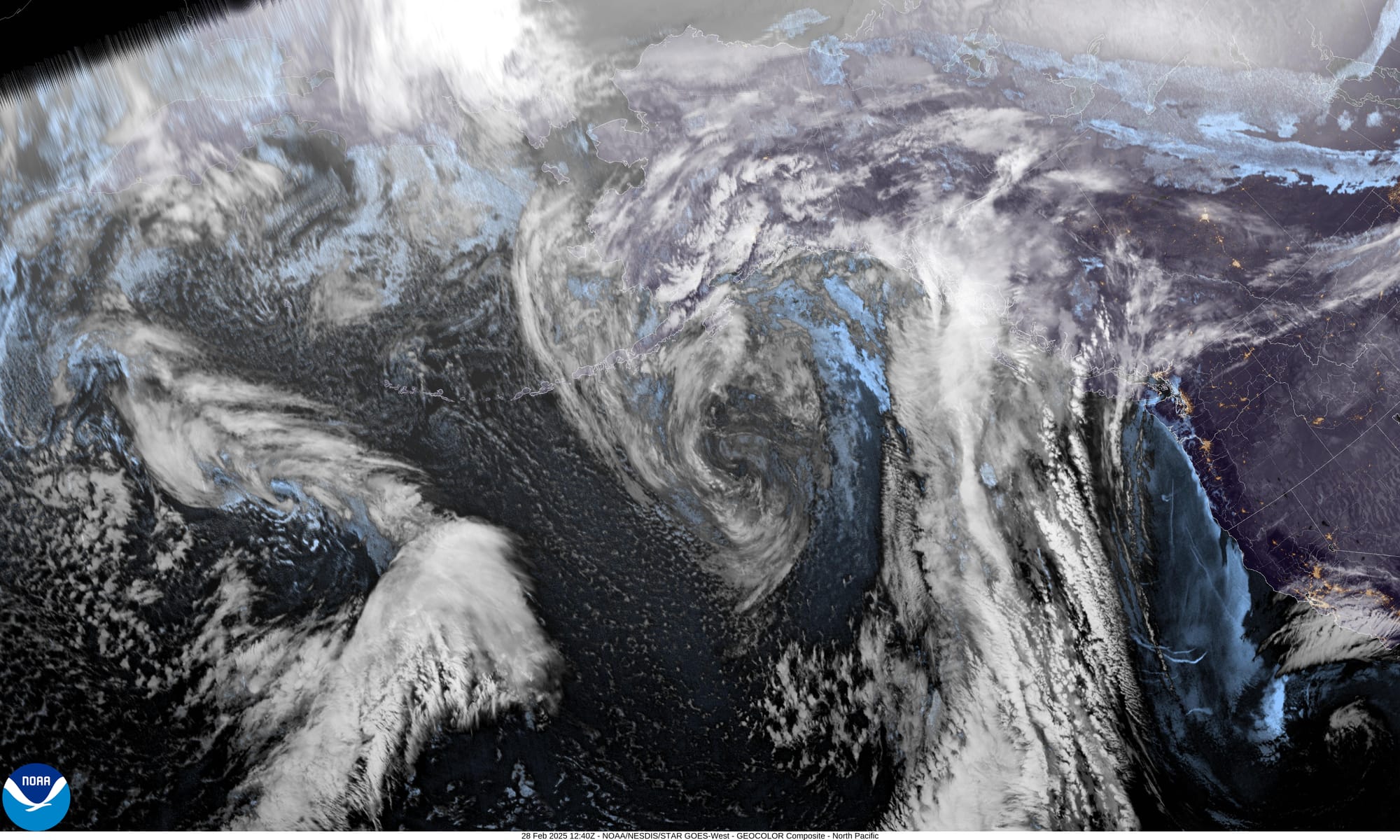
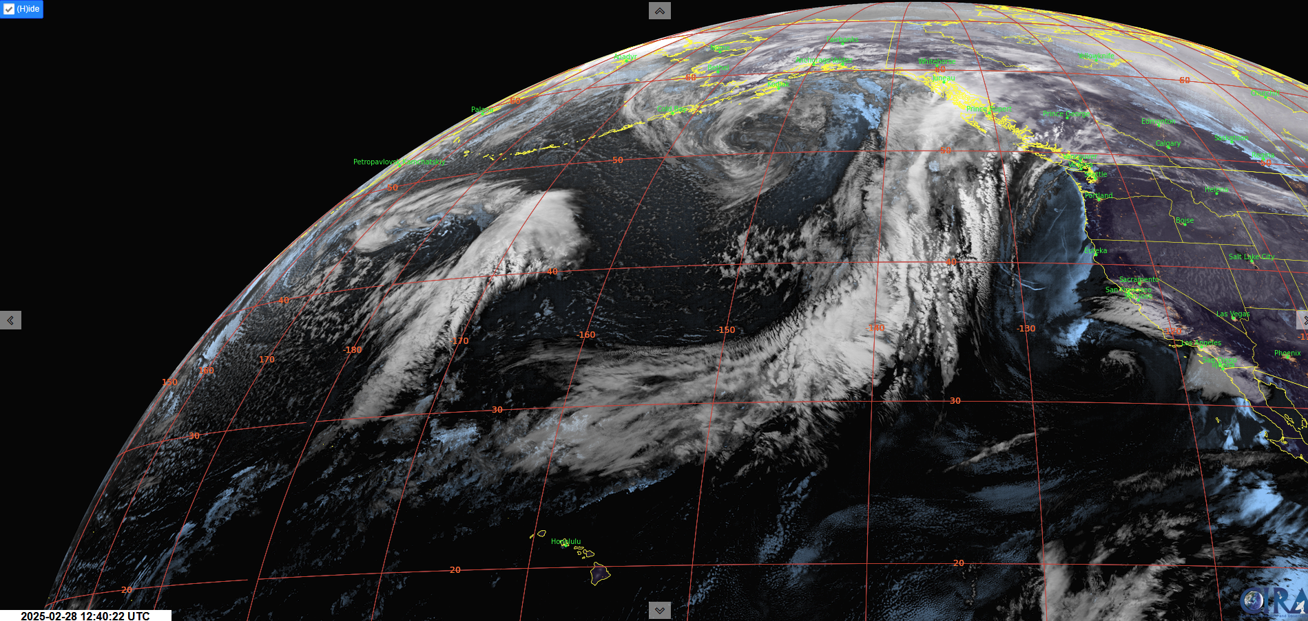
A ridge of high pressure will build over southern BC today, bringing warm alpine temperatures and dry conditions that will last through this weekend and into early next week. Looking into the long range there's a chance of a return to more active pattern as upper troughing returns to the Gulf of Alaska. Bottom line winter isn't over and lots of snowpack building can happen in March.
Weather Synopsis:
- Friday: Light Southwest wind, freezing levels 2500-2800m, nil precip.
- Saturday: Strough Southwest wind, FLs 2500m, nil precip.
- Sunday: Light Southwest wind, FLs 1500-2000m, nil precip.
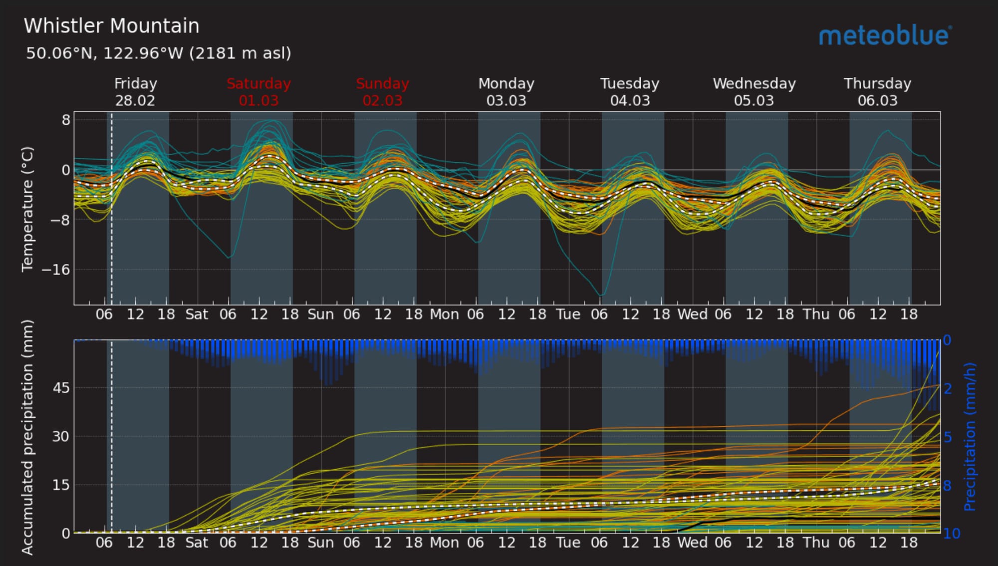
Meteoblue Multimodel for Whistler Blackcomb. Imagery showing our building ridge of high pressure.
There is a lot of spatial variability with our avalanche hazard this weekend. The north shore is low hazard. If temps are warm, there’s a wet loose problem. If temps cool and the snowpack locks up, it’ll be a slip and fall hazard.
Further north, the hazard is considerable with potential for windslabs and wet loose avalanches both possibly acting to trigger our persistent slab problem. Add the weekend’s warming to that persistent problem and we have an unusual situation - thus the Special Public Avalanche Warning (SPAW).
What are my questions for the weekend?
- What’s special about the Whistler area? Why are they seeing such big and reactive avalanches?
- Where does the avalanche danger transition from Low (north shore) to Considerable (Whistler and north)? The limitation of drawing boundaries on a map is that it’s not that clean in real life. Somewhere between Squamish and Whistler, that weak layer becomes reactive. Unfortunately though, we just don’t have enough observations to say how far north or at what elevation that line is.
What will I watch out for or avoid completely?
- Overhead hazard. Seems straightforward and really, it pretty much is! Cornice fall can trigger very large and destructive avalanches. Smaller avalanches (wet loose gaining mass) can trigger bigger ones. Even just the warm temperatures can increase the load of a slab trigger this persistent weak layer. Don’t find yourself in terrain that is exposed to big overhead hazard.
- Avalanche terrain that didn’t clean itself out naturally during our last storm. This requires some serious familiarity to use as part of our decision making.
- Thick to thin - classic persistent weak layer trigger spots (rocky islands, moraines, etc..).
- South facing slopes and anything getting really cooked in the warmth. This is probably the easiest thing to watch out for and avoid.
Closing Thoughts:
With a SPAW and a lot of uncertainty in our snowpack, it’s definitely head’s up out there. This is a good time to stick to conservative terrain choices until you can rule out some of that uncertainty. It’s also a great time to hire a guide! We’re in our first ProLines course this week and it couldn’t be a better snowpack for an advanced decision making course! Don’t hesitate to reach out to us at zenithmountainguides@gmail.com if you have any questions about the conditions.
For more information, check out Zenith Mountain Guides and our local avalanche forecast. Weather forecasts are custom from meteorologist Jason Ross. These updates are supported by SkiUphill Squamish - the best stop for ski touring equipment in the Coast Mountains and made possible by the Sea to Sky Gondola! Use this information at your own risk. Conditions change rapidly from when this report was written!
Member discussion