
Feb 6 - Sea to Sky Snow Conditions
Overall theme:
Pattern change! Dear god we hope…
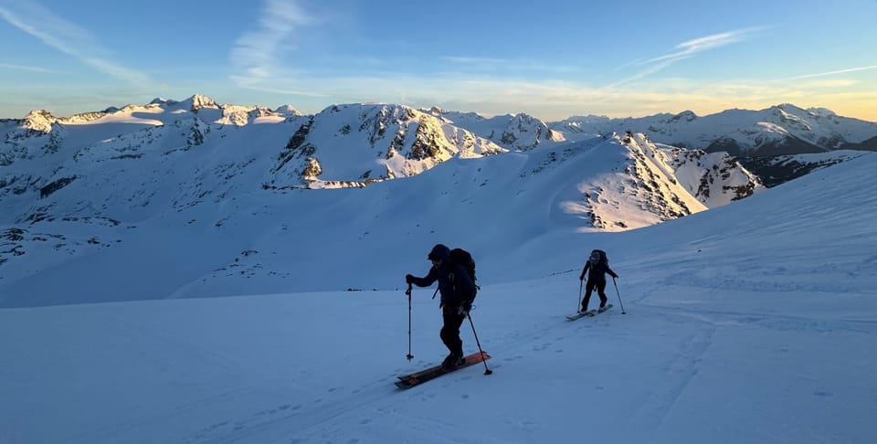
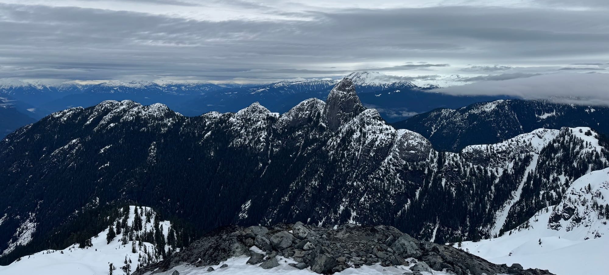
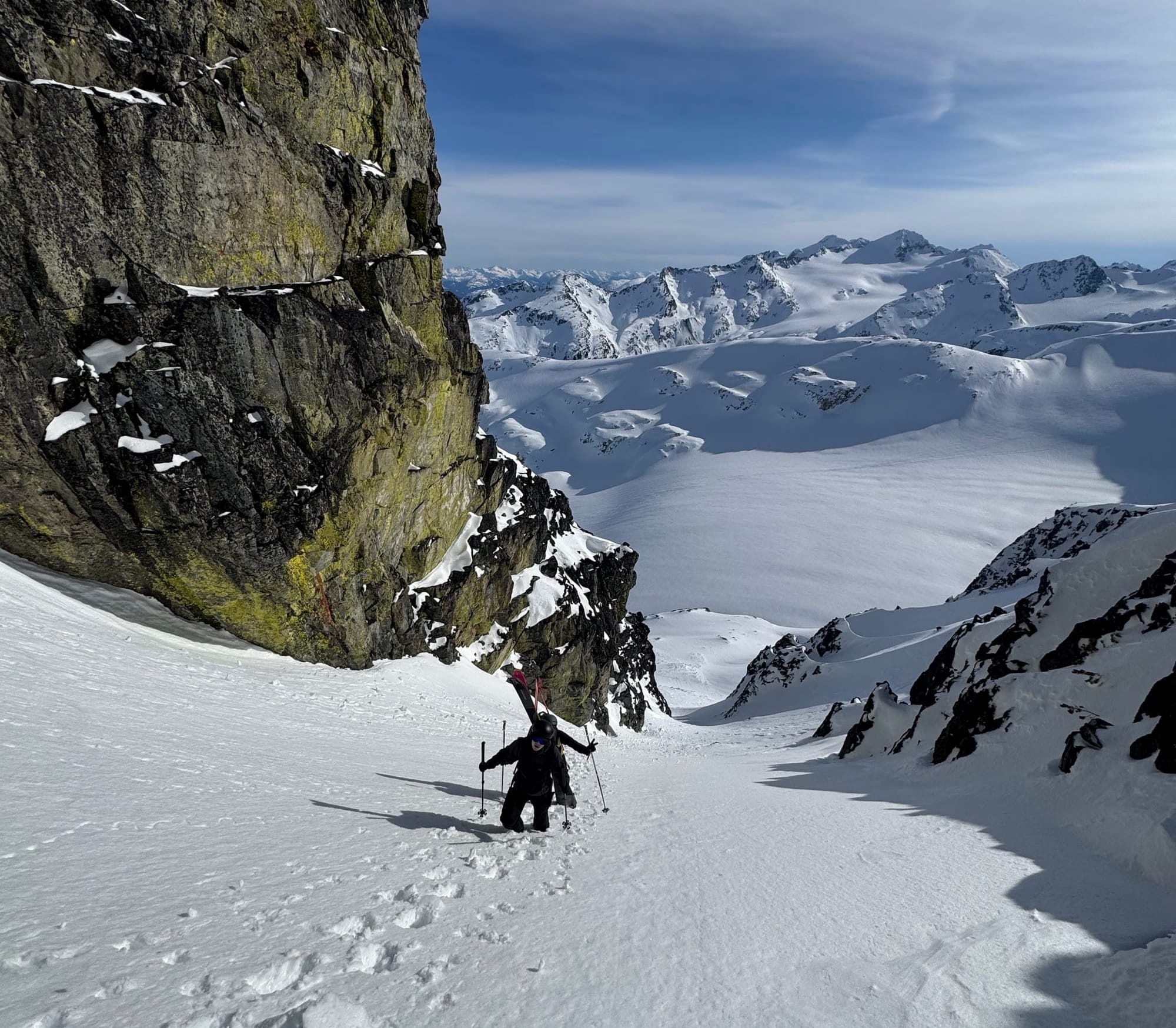
Where we’ve been skiing:
Squamish Gondola, Spearhead Range, Duffey. Low elevation access is starting to melt out. Gondola and Red Heather are in rough shape. Both access roads now require a bit of walking and S2SG has stopped grooming until they get new snow. Callaghan looks equally thin down low. Up on the Duffey, access is still open but it’s getting thinner and you have to compete with bush and downed trees. Some of the Duffey trails might be just as good with microspikes!Singing Pass trail is in rough shape, with some walking as well. Blackcomb backcountry egress via Sunset is also closed now! LET IT SNOW!!!!
What’s happened since the last update (weather & general snowpack structure):
Avalanche activity has been pretty minimal this week. There have been several reports of cornice falls but they don’t seem to be triggering much for deeper layers. Loose wet has been a problem on the board but doesn’t seem to be causing major problems. It’s pretty easy to avoid those big south facing slopes so I don’t think that one is catching too many people off guard.
Last weekend’s storm dropped what is now roughly a settled 15-30cm on top of the old firm crust surface. This bonded quite well and had some promise but rain on Tuesday night stole any hope of pow skiing. Another heart break. Not sure how many more we can handle this year… This has formed a new crust surface that will surely be buried tomorrow.
A much bigger challenge has been ski quality. On polar aspects in the alpine, there’s a bit of wind buffed faceted powder at the highest elevations that quickly gives way to breakable crust. On due south aspects, the snowpack has been undergoing a weak diurnal melt-freeze cycle with what approaches corn skiing - but more like cream cheese. On other solar aspects that are oblique to the sun, there are gnarly breakable ice crusts that don’t break down/corn up as much. This all makes for VERY firm conditions in the morning and tolerable conditions in the afternoon.
What’s the weather and avalanche forecast?
After days under a strong ridge of high pressure that brought unseasonably warm and dry conditions to the Sea to Sky, a pattern change is on the way as an upper trough approaches the BC coast on Friday, sending a Pacific frontal system into the south coast Friday evening into Saturday. This will bring a pattern change with a return to cooler and wetter conditions, with the freezing level falling to near 1000m by Sunday, and temperatures returning to seasonal normals. A weak area of high pressure will bring breaks on Sunday. Looking ahead to early next week, an upper low will keep conditions cool and unsettled, with a chance of snow on Monday into Tuesday. Winter is back! Let's hope we can rebuild our snowpack back to normal.
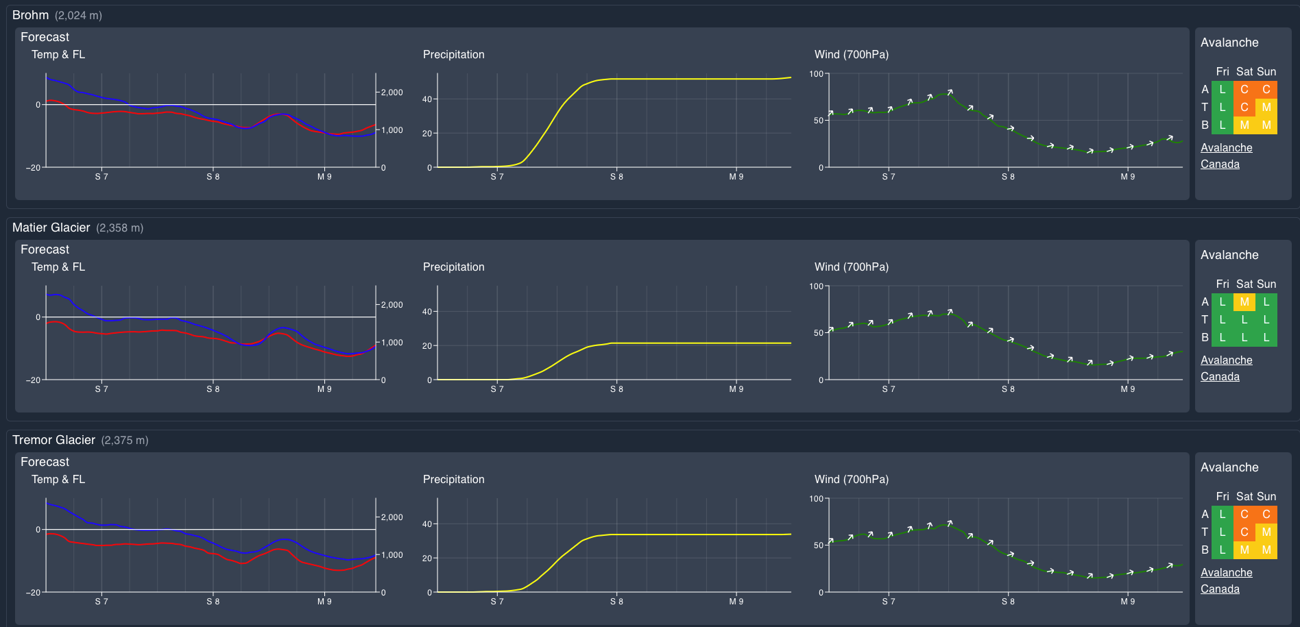
Wind Speed:
- Friday: Southwesterly 40 gusting 70 km/h.
- Saturday: Southwesterly 50 gusting 90 km/h.
- Sunday: Southwesterly 20 gusting 40 km/h.
Sea to Sky Freezing Levels:
- Friday: 3000m lowering to near 2000m Friday evening.
- Saturday: 1700m lowering to near 1500m
- Sunday: Near 1000m rising to near 1300m
Precipitation:
- Friday: Nil
- Saturday: 30-40cm by 4pm Saturday
- Sunday: Trace to 2 cm
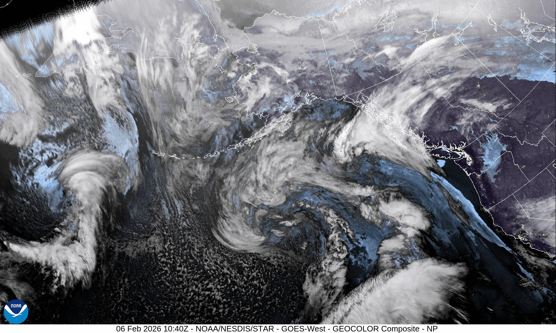
Avalanche hazard has been Mod/Low with problems related to the high freezing level (wet loose and cornice). Looking forward, we expect that to shift towards a storm/wind slab issue that will rapidly settle out. Saturday will come in windy with the precip.
What are my questions for the weekend?
- Timing and intensity of the new snow - we will have a storm slab problem, just depends on when and how much of one!
- Bond to the current surface. The storm is coming in warmer so it might not be too much of an issue, but time will tell!
What will I watch out for or avoid completely?
- There’s still lots of chunder and funky surfaces, so we will still be hunting for smooth, open, planar ski runs to enjoy the fresh snow. As soon as the storm starts piling up, it will be time to dial it back until we see how well things have bonded. Early next week is promising!
Closing Thoughts:
The mid to long range models are definitely trending colder and with some moisture. All we have at this point is to hope for a change in the prevailing pattern this winter to an actual winter pattern!
For more information, check out Zenith Mountain Guides and our local avalanche forecast. Weather forecasts are custom from meteorologist Jason Ross. These updates are supported by SkiUphill Squamish - the best stop for ski touring equipment in the Coast Mountains and made possible by the Sea to Sky Gondola! Use this information at your own risk. Conditions change rapidly from when this report was written!
Member discussion