
April 3 - Spring is kicking into gear and the skiing is GOOD!
Overall theme:
It’s been a productive week if you can get up in the alpine. Visibility continues to present challenges but when you can line up the good vis days, it’s worth it. We are in a classic spring pattern, with instabilities rapidly settling, small resets and enough of a refresh post atmospheric river that things have shaped up well. The snowpack continues to accumulate up high while access is getting trickier and trickier down low.
Are you keen to get out into the big mountains this weekend? We’ve got trips planned for the weekend and mid-week next week once it cools back off. Shoot us a message if you’re interested in a big line hunting trip into the Tantalus or maybe doing the Garibaldi + Little Diamond Head combo! We’ve also got some Spearhead in-a-day trips on the go. It’s that time of year!
It’s also pass renewal season up at the Sea to Sky Gondola! Save $50 if you renew by the end of April! We’ve also got big news coming with some upgrades to the Exit Gully weather station - next week. Finally, we’re going to announce our last snowpack talk date shortly here but in the meantime, we’ll have lots of prizes for the best MIN submissions so make sure if you get out in the mountains, you submit a MIN!
Where we’ve been skiing:
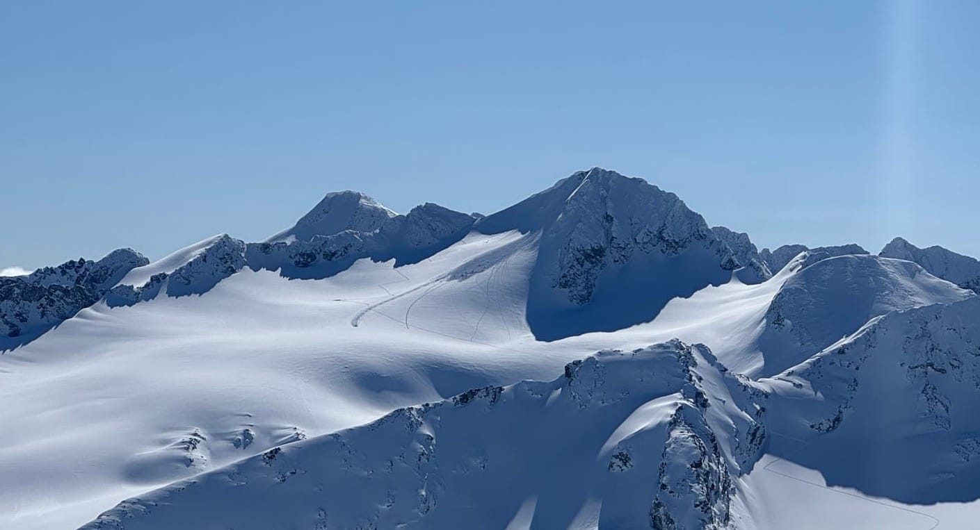
Sea to Sky Gondola, Brohm, Whistler Blackcomb, Duffey Lake Road, and the deep Hurley! Generally with some form of mechanized access to get into decent snow.
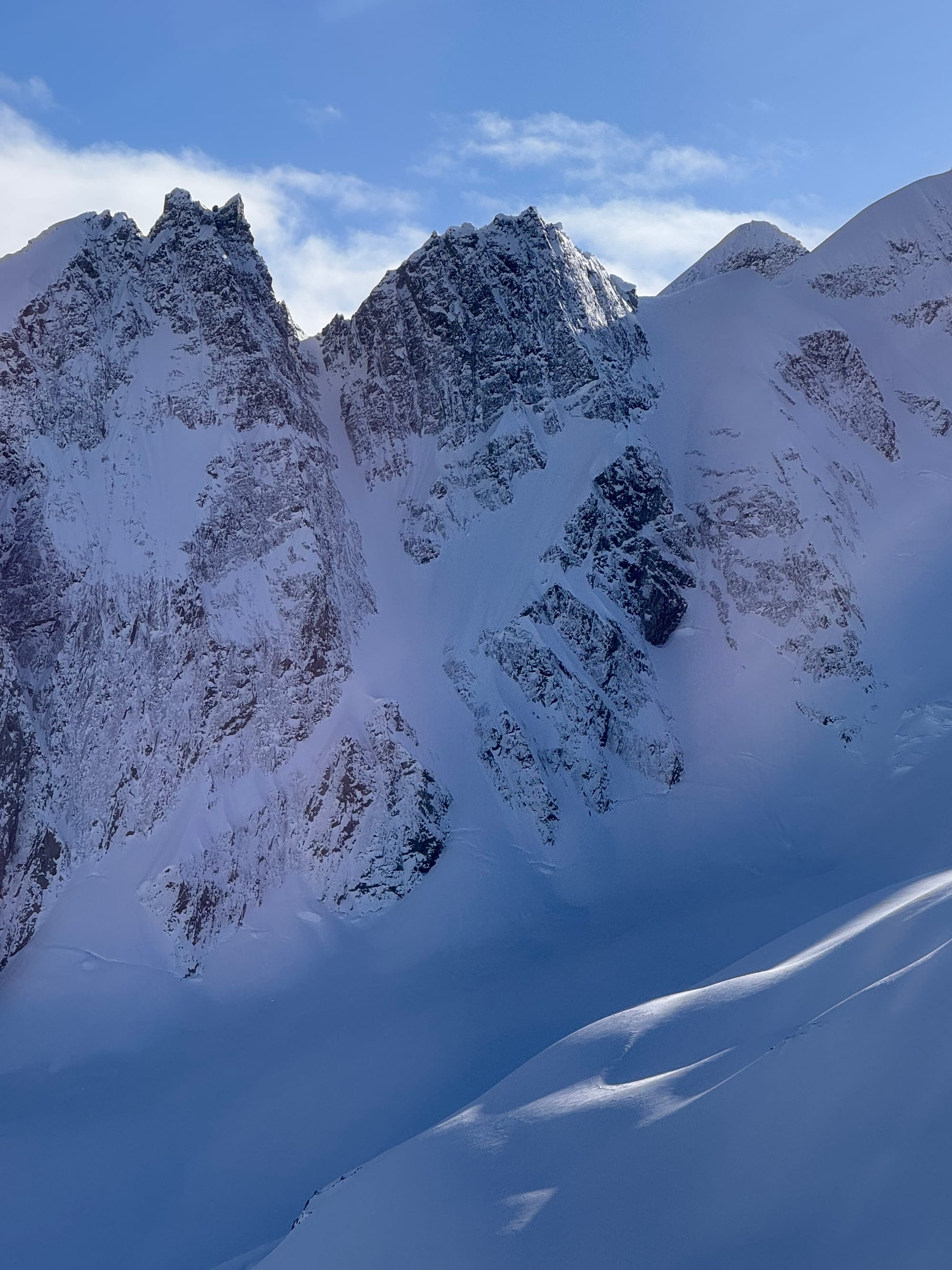
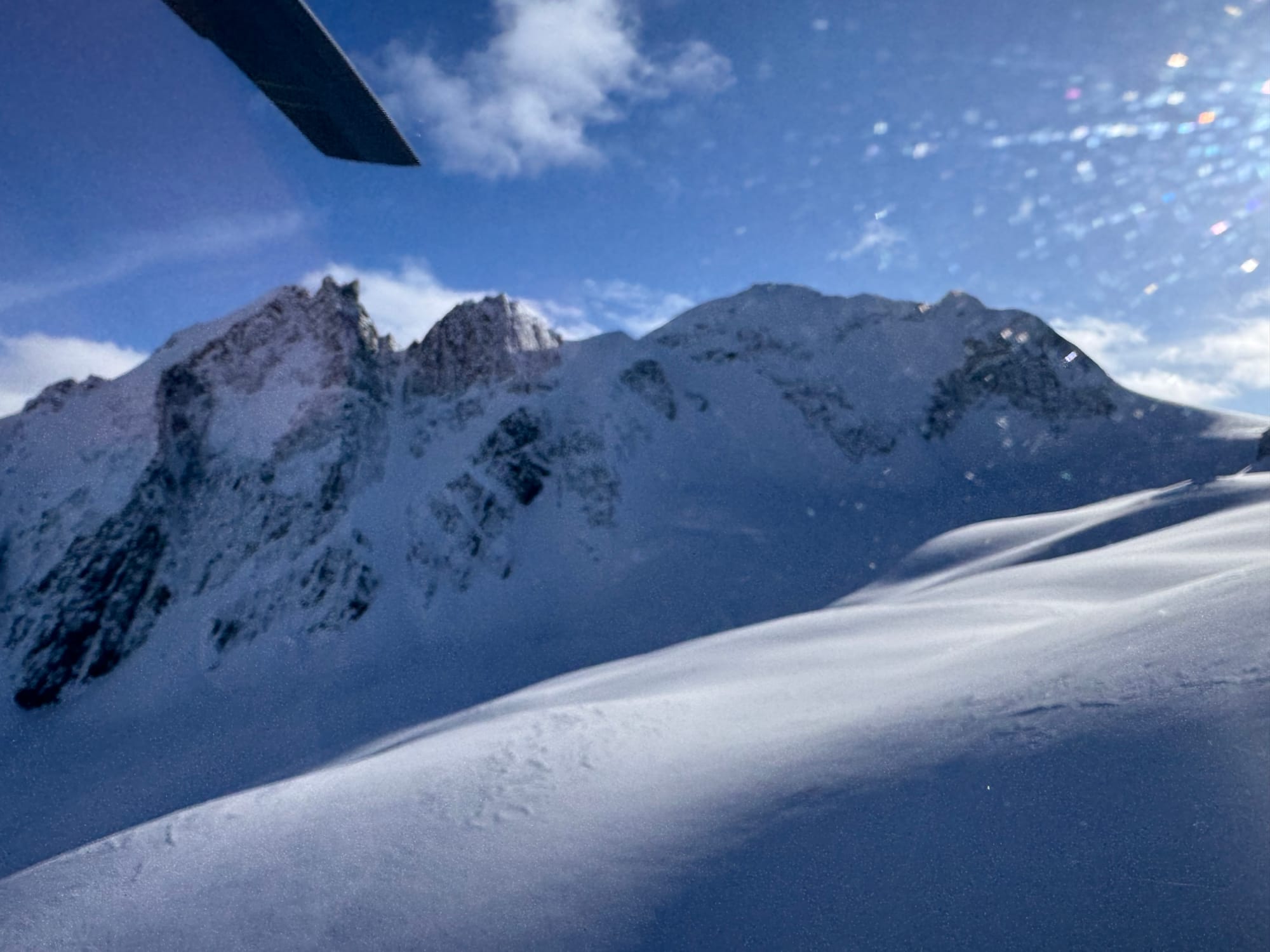
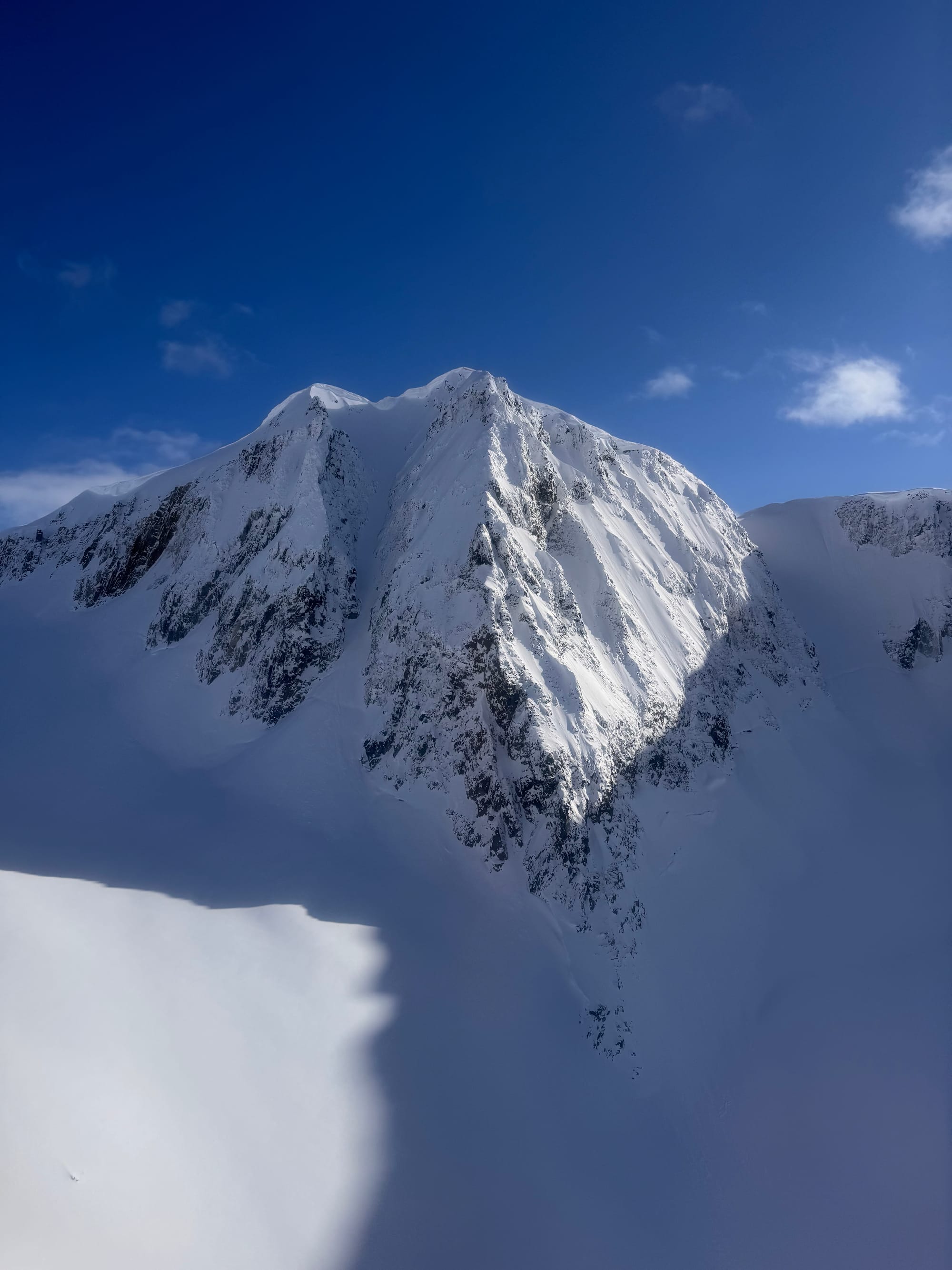
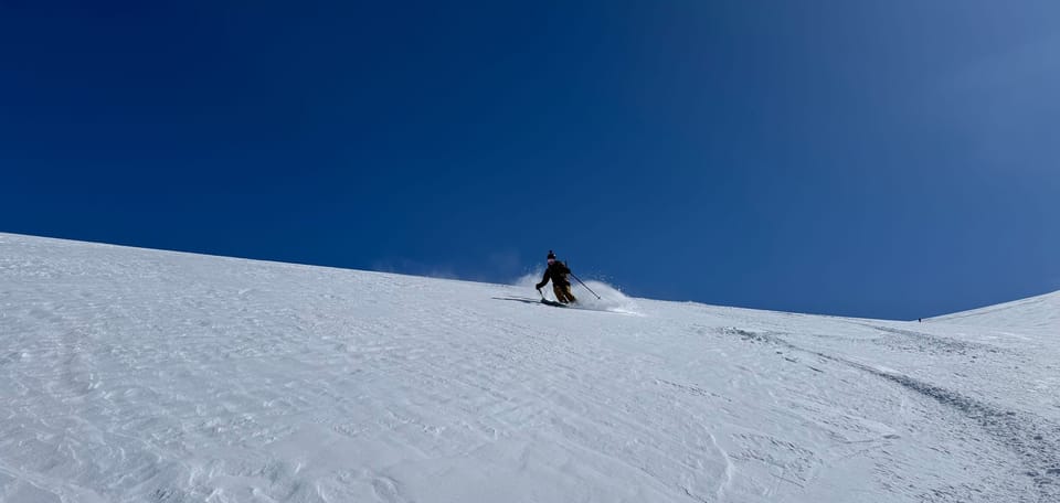
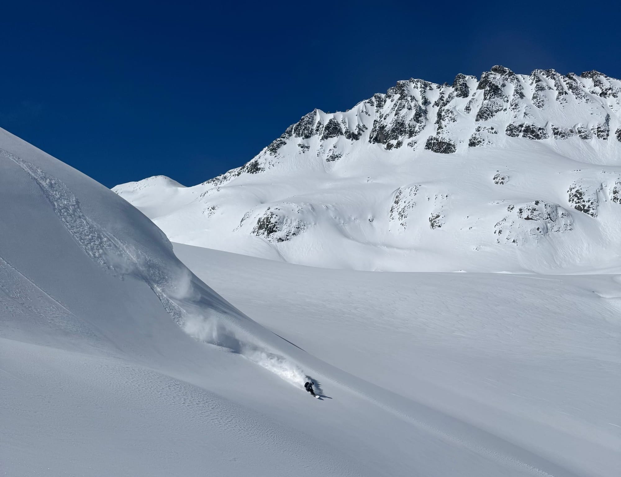
Wedgemount group conditions from Monday. Want to drop up here (outside the park) and do some steep skiing? Send us a note!
What’s happened since the last update (weather & general snowpack structure):
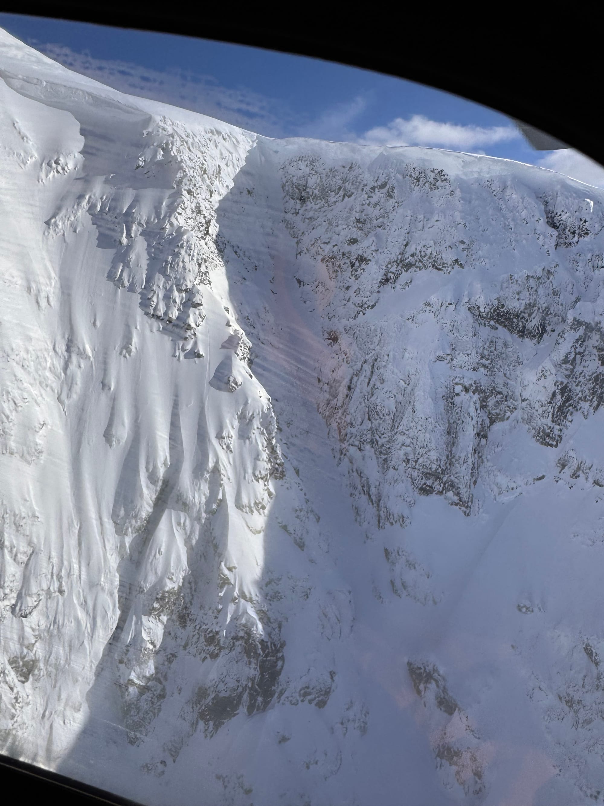
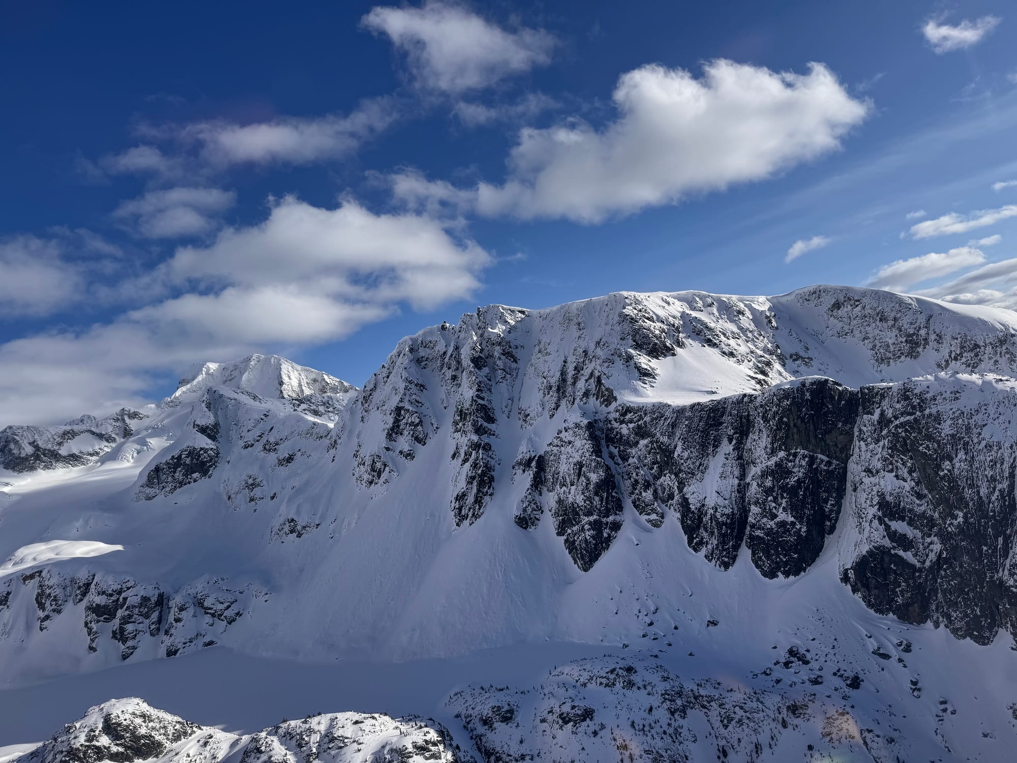
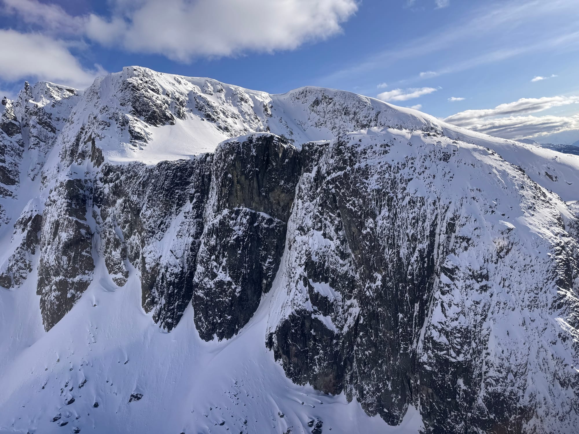
It’s been a pretty uneventful week for the south coast from an avalanche perspective. There have been some windslabs but the main event has been cornices falling. They’re still juicy from the atmospheric river and continue to build as new snow falls and wind blows. One of note was the cornice on the north face of Tremor, a large chunk of which smoked the regular skintrack on the Spearhead Traverse and came dangerously close to a campsite on the glacier.
Weather has been pretty uneventful. We’ve had a few pulses of precip this week but for the most part it’s been partly to mostly cloudy with warm temps (near 0) during the day and cold temps (<-10) at night which goes a long way to help settle out those wind slabs! Monday was really our only day of true sun and high pressure and lots of people made the most of it!
The snowpack itself is mostly centred on the March 22nd crust. This formed after the atmospheric river when the rain stopped and the surface froze. It was quickly covered by new snow but areas with lots of wind (especially around Squamish) were buffed back down o the crust. Further north, more accumulation has covered the crust and led to better skiing. Near the surface, winds continue to build fresh windslab however they haven't been huge. Keep an eye on these surface instabilities and if the crust is close to the top.
What’s the weather and avalanche forecast?
A weak system will bring showers and alpine flurries to the Sea to Sky on Friday. As the weekend progresses, a strengthening high-pressure ridge over southwestern BC will lead to clearing skies, and some of the warmest temperatures of the year with highs near 20 degrees inland on Sunday and Monday, and freezing levels rising to near 2500m to 3000m
Wind speed:
- Friday: Southwesterly 20 gusting 50 km/h.
- Saturday: Southwesterly 20 gusting 60 km/h.
- Sunday: Southwesterly 10 gusting 30 km/h.
Sea to Sky Freezing Levels:
- Friday: 1000m rising to near 1600m
- Saturday: 1000m rising to near 2000m by Saturday afternoon.
- Sunday: 2000m rising to near 2500-3000m
Precipitation:
- Friday: 2 to 10cm
- Saturday: Nil
- Sunday: Nil
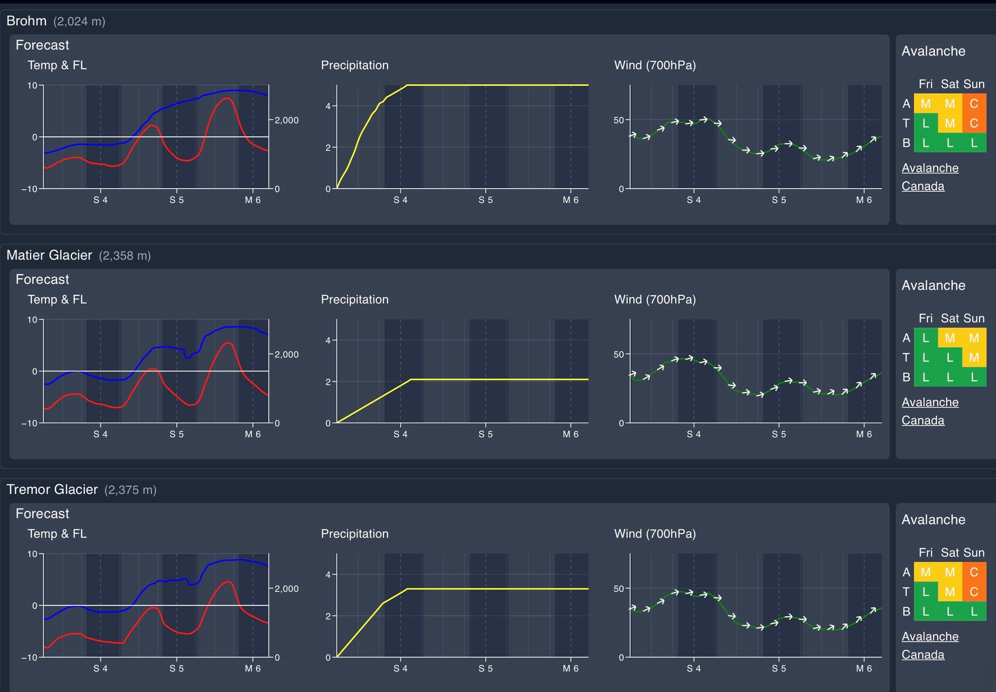
Avalanche hazard has stayed pretty steady at 211 for most of our area, with cornices being an ongoing problem. Each pulse of snow and wind refreshes the surface but also our windslab problem. Both of those are likely to stay on the board for the time being. As temps warm up over the weekend, expect wet loose avalanches to start becoming more of an issue!
What are my questions for the weekend?
- What’s going to happen with the FL spike this weekend. It’s going to warm up but if it doesn’t rain, it’s likely that good snow will be preserved on north facing high alpine terrain. Fingers crossed we get a nice refresh early in the week.
What will I watch out for or avoid completely?
- Terrain under massive cornices! Don’t hang out long, and be really aware of what’s above you. Sunday afternoon is going to be the most intense sun/heat of the year and we always look to those drastic changes as red flags. As well, there’s still a ton of frozen debris and chunder under some fresh snow at the mid and lower elevations so don’t ski fast and hard into those run out zones!
- Low elevations - for obvious reasons…
Closing Thoughts:
After a wild winter ride, we’ve really settled into a good spring pattern. Even this heatwave looks short lived. For the most part the Alpine snow pack is as fat as it's been in years, so take advantage of it! Send us a note and jump in on a trip this weekend or mid-next week!
For more information, check out Zenith Mountain Guides and our local avalanche forecast. Weather forecasts are custom from meteorologist Jason Ross. These updates are supported by SkiUphill Squamish - the best stop for ski touring equipment in the Coast Mountains and made possible by the Sea to Sky Gondola! Use this information at your own risk. Conditions change rapidly from when this report was written!
Member discussion