
Jan 15 - Sea to Sky Snow Conditions
Overall theme:
Wow. Just Wow. We don’t even know what to say. You know that friend who, in March - prime ski season, says “I think I’ll just ride my mountain bike today”?
They caused this. They angered the sun god. We went from some of the deepest pow in memory, to what...
Anyway… the crust has arrived. It’s just as crusty as you’ve heard. So what can we do about it? Read on…
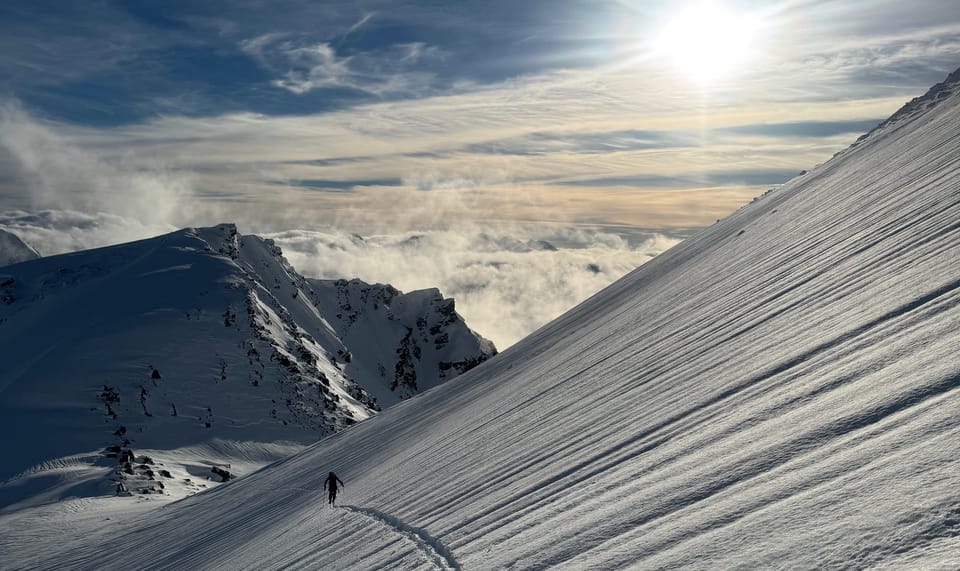
Where we’ve been skiing:
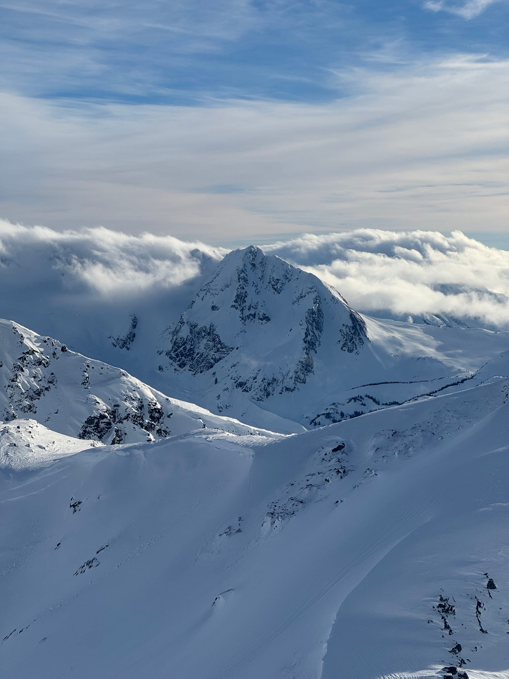
Duffey, Whistler Blackcomb, Gondola, Nch’Kay.
What’s happened since the last update (weather & general snowpack structure):
Surely you noticed the rain. Everything was going so well. We were absolutely smashing pow. It was great. Saturday was a heck of a storm and the Duffey delivered. Up there, snowfall totals were a little less and the skiing was good. Further south, in Whis and Squamish, the snow stacked up faster. It sounded like there were a number of near misses around the Gondola on Saturday. Remember, just because they don’t allow us to upload skis at High hazard, doesn’t mean considerable can’t still be really dangerous! The forecast could also be wrong…
Then on Sunday, the rain started. Freezing levels spiked mid-day and the storm came in hard. By Monday, FL’s were at ridge-top throughout the region and a widespread avalanche cycle to size 3 began. These were primarily wet slab and loose wet avalanches, many triggered by recently built, then weakened, cornices.
By mid-day on Tuesday, the towel had been completely wrung out. The Sea to Sky Gondola saw what was surely a multi-year record of 222mm of rainfall at the summit lodge. Rain runnels are outrageously big. Further north it wasn’t as dramatic but still exceptionally wet.
What this ultimately has meant is that further south, the saturation event was enough to create a pretty thick layer that then refroze and became supportive. Further north, the layer was thinner and unsupportive (breakable crust) initially but is gaining strength after a clear cold night.
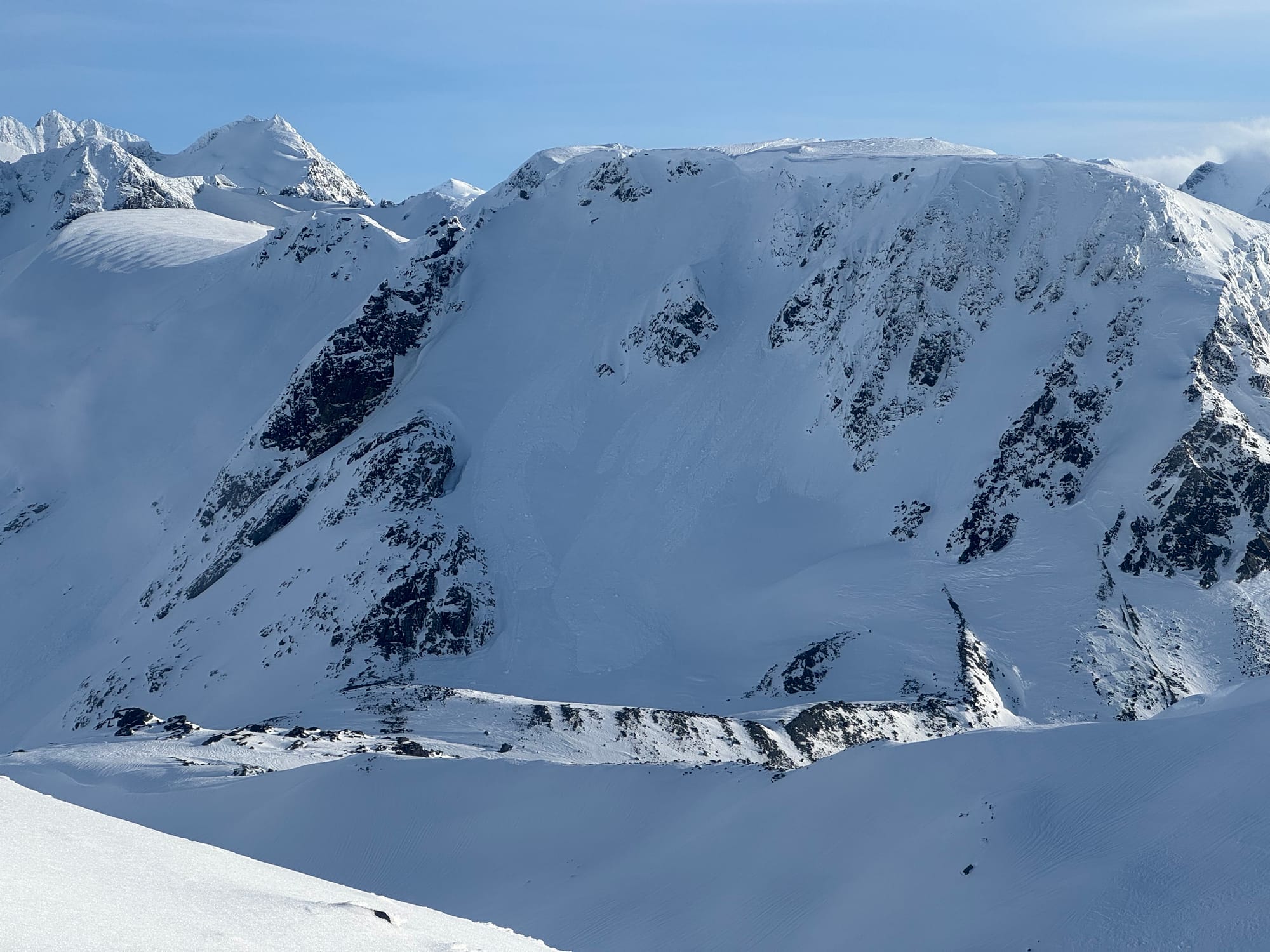
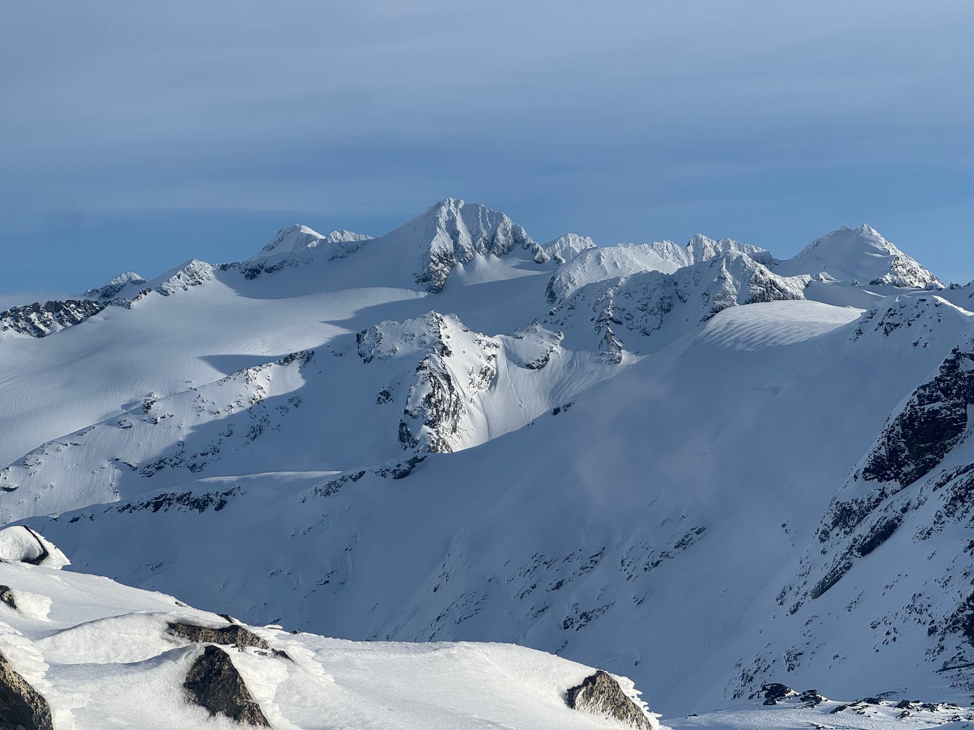
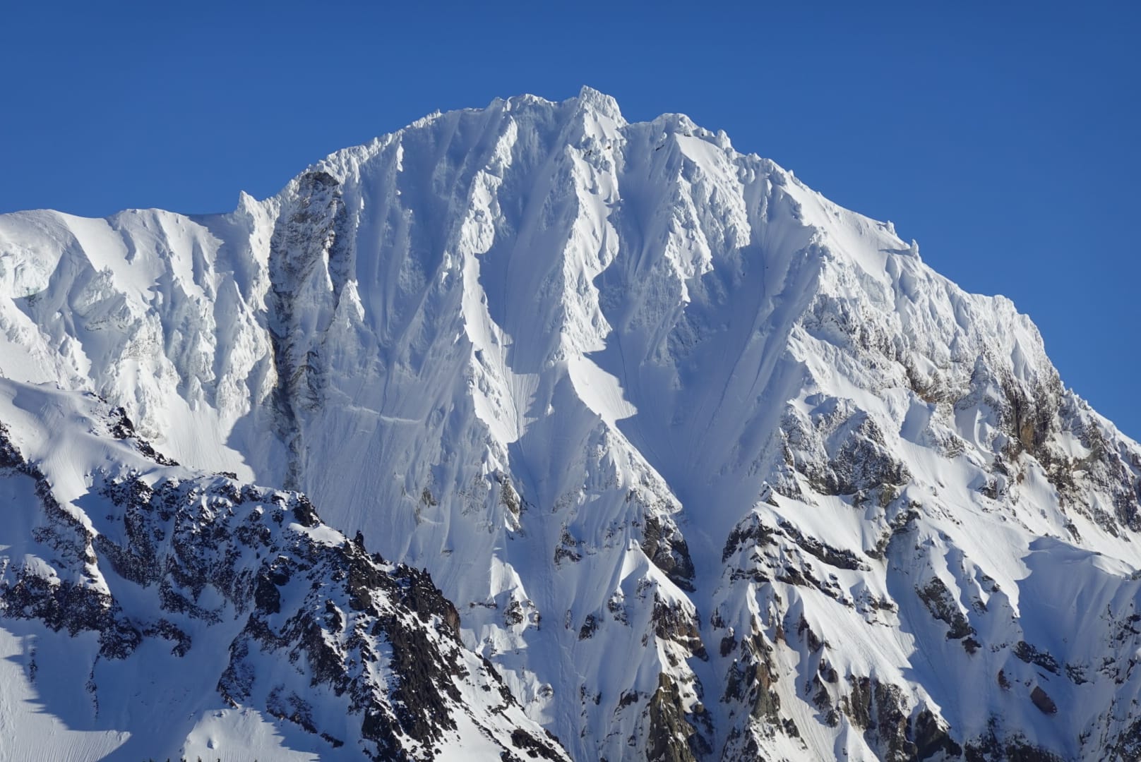
Blackcomb terrain on Tuesday PM.
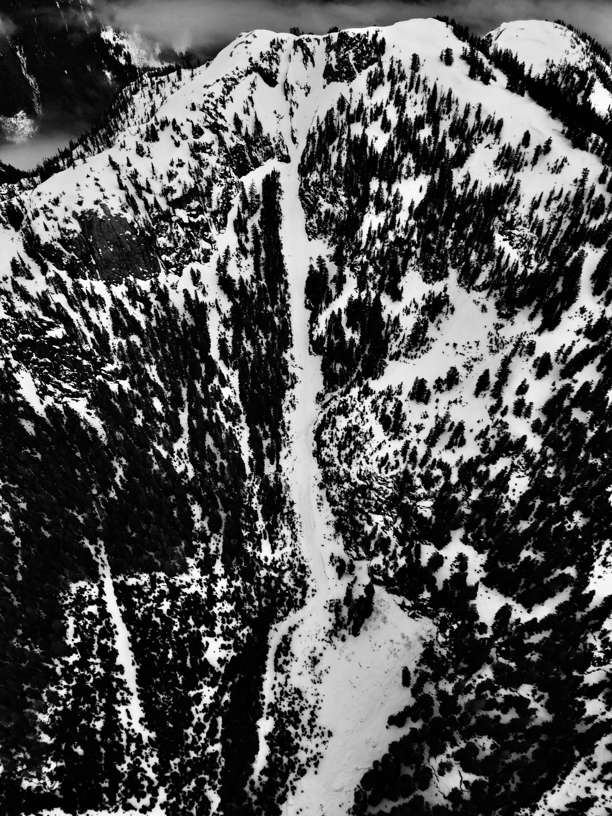
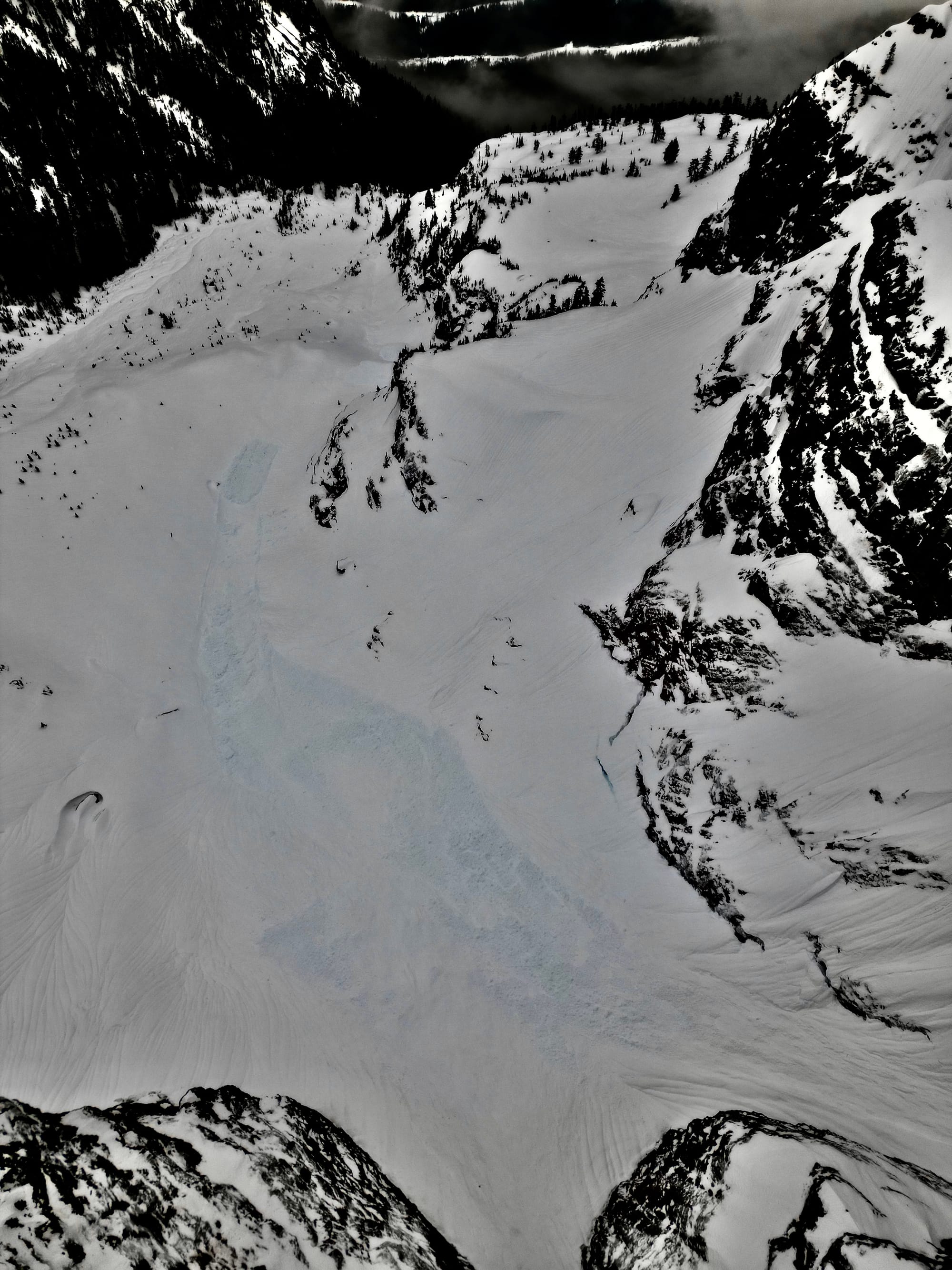
1) Big crowns in Ledge couloir! Don’t accidentally air off those! 2) Exit gully ran in the storm, not full track but good channeling. 3) Ledge basin debris from the Ledge Couloir avalanche.
What’s the weather and avalanche forecast?
A strong ridge of high-pressure is expected to dominate southwestern B.C. for the next several days, resulting in dry and stable atmospheric conditions with outflow winds. This high-pressure system will lead to warm daytime temperatures in alpine regions, with a freezing level at 3500m. Elevations around 1000-1500m will see overnight refreeze due to inversion from Squamish north, areas closer to the Coast may not see the freeze and melt cycle. A potential pattern change may occur around the 22nd, although specifics remain uncertain. Some models indicate a cooler northerly flow accompanied by a system next weekend (that’s good).
Wind Speed:
- Friday: Northerly 20 gusting 40 km/h.
- Saturday: Northerly 10-20 km/h
- Sunday: Northerly 10-20 km/h
Freezing Level:
- Friday: 3500m with below area of freezing between 1000m to 1500m
- Saturday: 3500m with below area of freezing between 1000m to 1500m
- Sunday: 3500m with below area of freezing between 1000m to 1500m
Precipitation:
- Friday: Nil
- Saturday: Nil
- Sunday: Nil
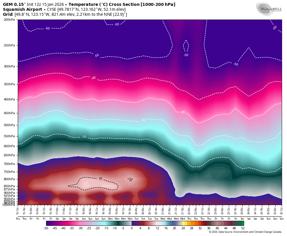
Meteogram for Whistler and the GEM model Temperature Cross Section showing a below freezing layer at low elevations over the S2S (especially over the Pemberton valley).
Avalanche hazard for the time being is wet loose. As freezing levels rise, this becomes more likely. Watch steep solar terrain and anything that feels mushy underfoot (if it does get mushy). Probably our bigger hazard at the moment is fall hazard on icy slopes. Don’t get complacent in terrain that would normally feel pretty mellow!
What are my questions for the weekend?
- Will there be enough crust recovery overnight with freezing levels through the roof? This is the million dollar question. In Squamish on Wednesday, the answer was yes but temps were still close to zero. Wednesday night was clear and cold and the snowpack froze solid for Thursday. A weak inversion meant it was solid top to bottom. By the weekend, temps spike and we’re entirely relying on radiative cooling from the snowpack. Check out the Avalanche Canada post for a bit more about this. It seems like most folks are more worried it might be too soft. I’m worried it will be too firm. The days are short, sun is low in the sky, and the snowpack is cold. There was almost no corn development on Thursday.
- Looking further out, we typically pay for periods of good weather. Hopefully this high pressure period wraps with a warm storm and some glue-like snow. Worst case would be a switch to cold and clear, followed by cold snow = that would line us up for a gnarly PWL.
What will I watch out for or avoid completely?
- Basically anything steep. Steep north facing terrain has been thunderstruck by the avalanche cycles. There’s some gnarly big ones out there. Anything that remains on steep north is going to be icy AF. Steep solar aspects are going to be loose wet avalanche terrain. The good skiing will be sticking to lower angle terrain - mellow cruising and taking advantage of fast travel.
Closing Thoughts:
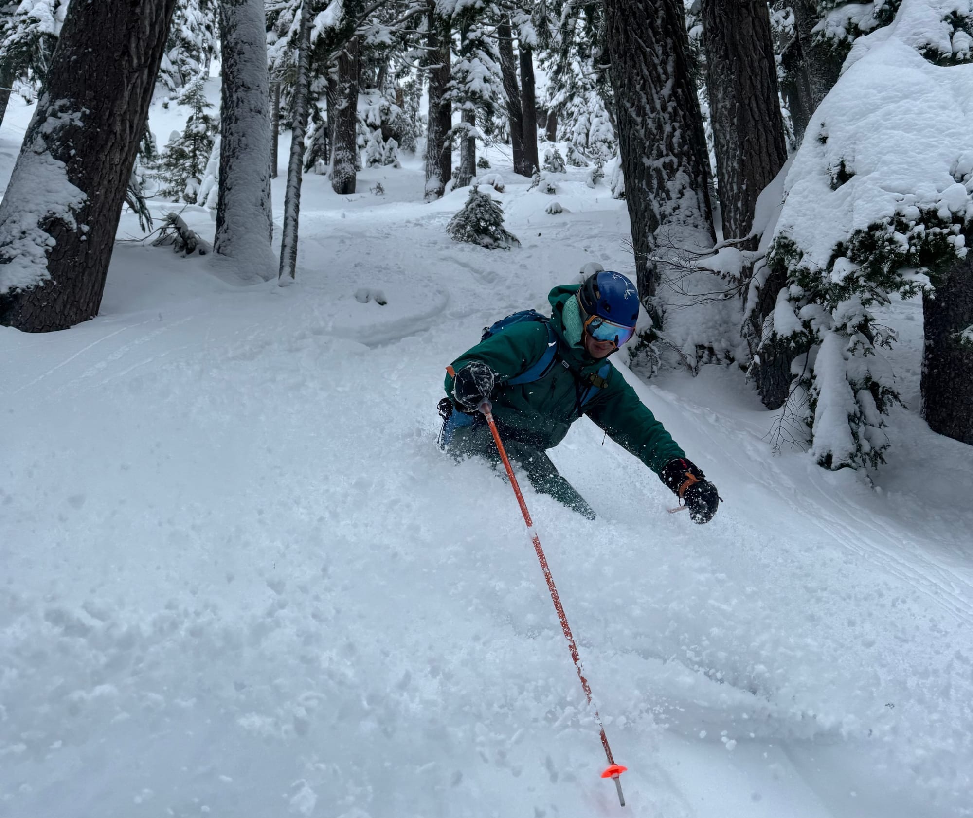
It’s bad. We like good skiing and there really isn’t much for good skiing right now. The groomers on the resort might be the best bet for fun slush skiing. Alpine travel is pleasant (if not too warm). Enjoy the sun and get out in the mountains but be safe on steep terrain where a fall could have huge consequences! Go buy your ski crampons from SkiUphill before they run out of stock! Not what we thought we’d say in January!
PS: Save the date for our next snowpack talk on Feb 13! We’ll have tickets in next week’s newsletter.
For more information, check out Zenith Mountain Guides and our local avalanche forecast. Weather forecasts are custom from meteorologist Jason Ross. These updates are supported by SkiUphill Squamish - the best stop for ski touring equipment in the Coast Mountains and made possible by the Sea to Sky Gondola! Use this information at your own risk. Conditions change rapidly from when this report was written!
Member discussion