Jan 2 - Sea to Sky Snow Conditions
Overall theme:
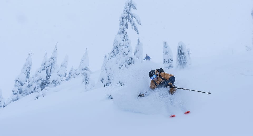
The consistent snowfall and cooler temps have made for a progressively resistant snowpack from the Duffey to Sky Pilot. There are a few layers from old wind slabs, buried melt freeze crusts, etc…but for the most part these are tightening up and gaining strength. There’s still lots of shallow spots, especially below 1200m close to the ocean and below 1500m deeper in the interior, and as well there are still going to be a few lingering wind slabs in the most exposed locations, but for the most part it feels like some quality early winter conditions.
Where we’ve been skiing:
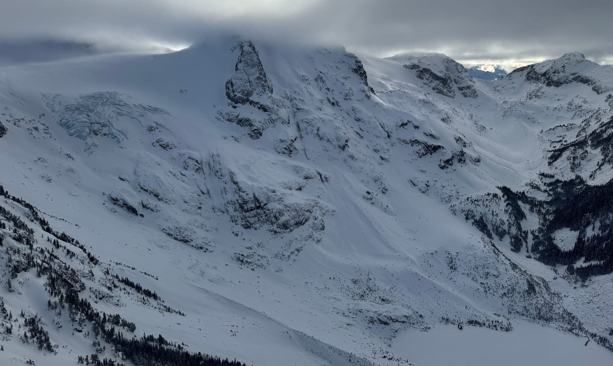
Duffey, Mt Currie, WB, Sky Pilot. A great mix of terrain from the ocean to the interior. Of note is that trailhead conditions around Squamish have improved greatly. The Sky Pilot and Red Heather roads are in great shape (and snow quality near the coast is great). On the flip side, trailheads (and BTL skiing generally) around the Duffey are still really thin. The approach to Cerise Creek for example was skinnable this week but many folks were opting to walk the last couple hundred meters to the bridge. Rohr, Joffre Lakes, Joffre Shoulder, Vantage Ridge…all of these spots are rugged to get in and out of. You decide if the juice is worth the squeeze!
What’s happened since the last update (weather & general snowpack structure):
Since last week’s newsletter with some decent natural cycles and the major incident from Whistler Heli Skiing, the avalanche problem has certainly settled out. The classic expression of low hazard doesn’t mean no hazard rings in our minds. And reports of people attempting some big lines in places like the Duffey in our small weather breaks where human triggered avalanches to size 2 were reported just make us worry! We are all keen to get after it, but we’ll approach this week by stepping out slowly. Since the weekend, snow has been trickling in almost every day and we’ve continued to gain snowpack. With so much low density soft snow around it doesn’t take much to put some sensitive slabs in some precarious places but overall avalanche reports and observations are leaning toward a strong snowpack with easier to diagnose concerns close to the surface.
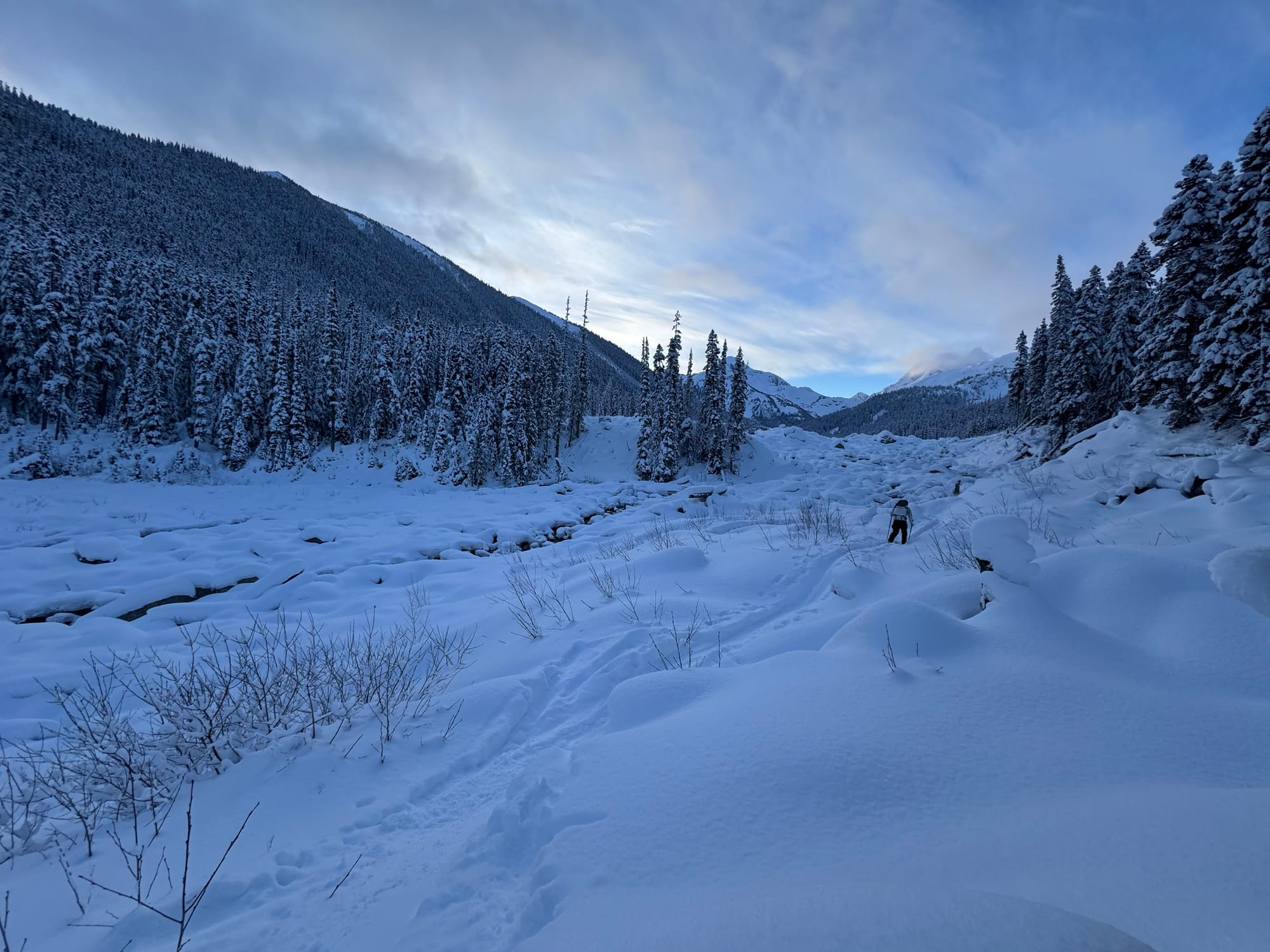
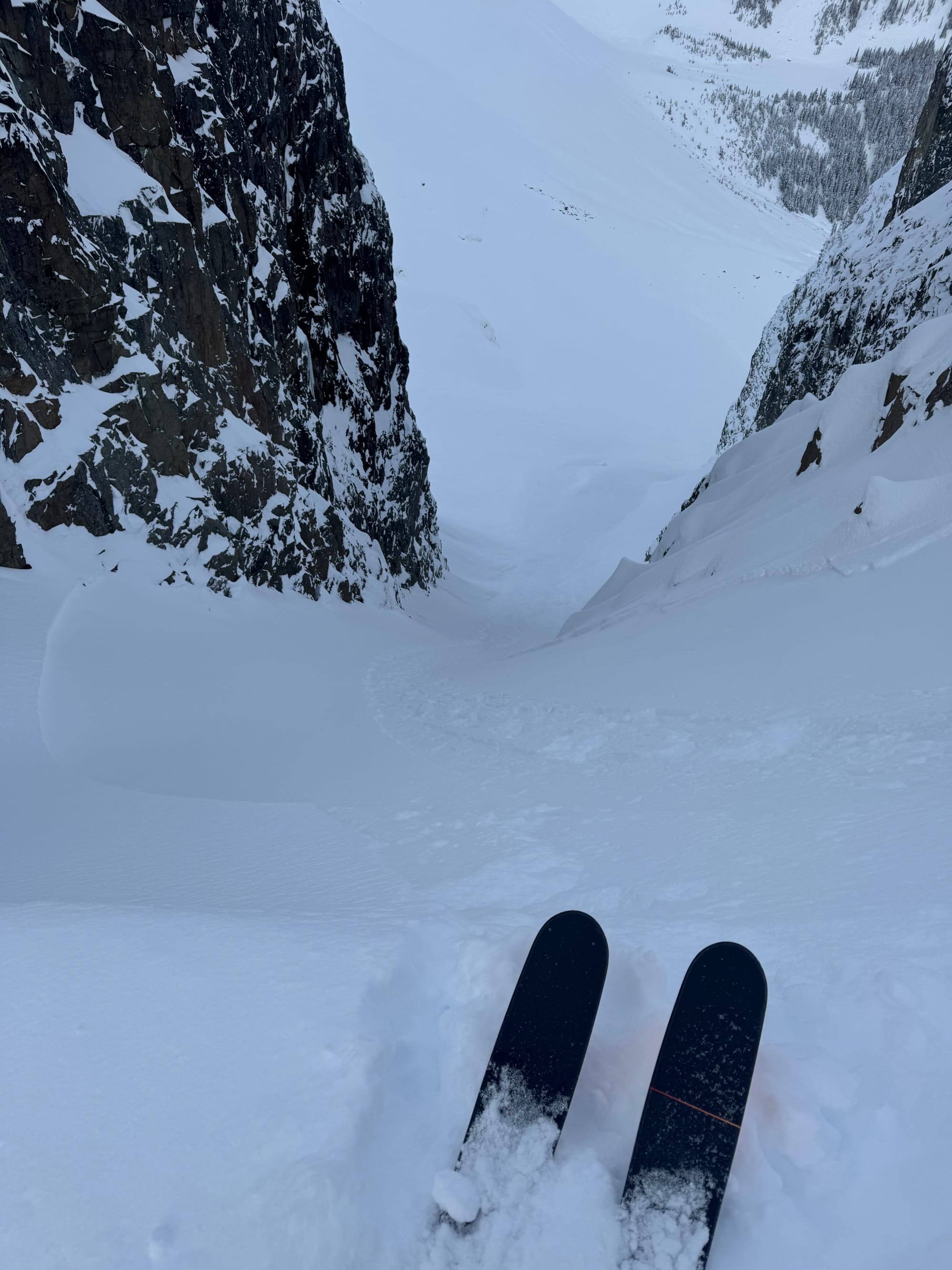
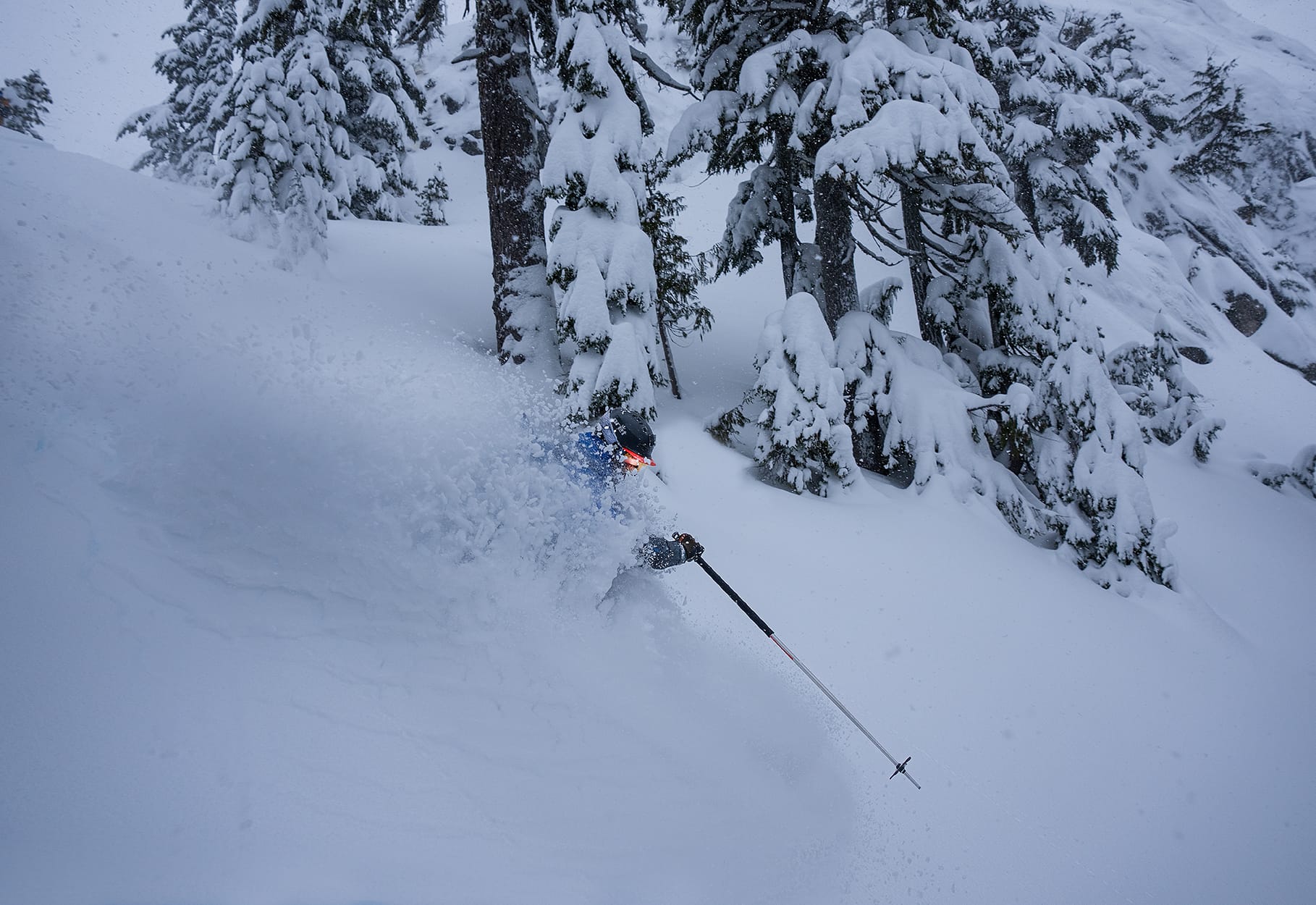
Thin conditions getting to TL at Cerise (L). Soft wind slab avalanches in steep terrain on Cerise Creek Monday (C). Quality snow at S2SG on Thursday! (R - Chris Christie Photo)
What’s the weather and avalanche forecast?
A series of weak systems will move through the Sea to Sky this weekend, with an Arctic ridge of high pressure holding steady over the northern BC interior. A trough (or area of low pressure) will arrive over the south coast Friday afternoon, bringing light to moderate precipitation amounts. The freezing level will rise near 1000m over the Whistler area and near 1500m over southern sections along the coast, with strong southeast winds picking up on Friday. Another system will arrive Saturday evening into Sunday. Numerical weather models are struggling with the strength and location of the system, as well as the strength of high pressure over the interior. Expect heavier precipitation along the coastal mountain ranges near Squamish to the Callaghan, with lighter amounts in the northern sections of the S2S, north of Whistler.
- Friday: Light-Moderate SE winds with strong outflow near Howe Sound on Friday morning. Freezing levels will rise to 1000m around Whistler and inland, and 1500m near the coast with ~5cm of precip during the day and another 5cm overnight.
- Saturday: Mod-Strong SW winds. Freezing levels near 1000m and 5cm during the day and trace to 5cm overnight.
- Sunday: Strong SW winds turning moderate from the NW by the evening. Freezing levels near 1000m and trace to 5cm. Flurries ease in the morning with a new ridge of high pressure!
S2S Weekend Storm Totals:
- Squamish 15-20cm
- Callaghan 10-20cm
- Whistler 15-20cm
- Pemberton/Duffey 5-10cm
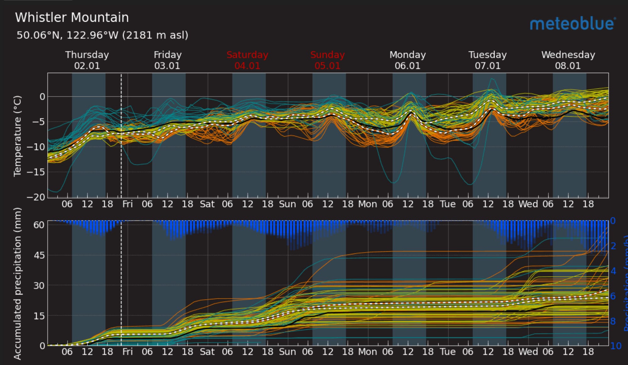
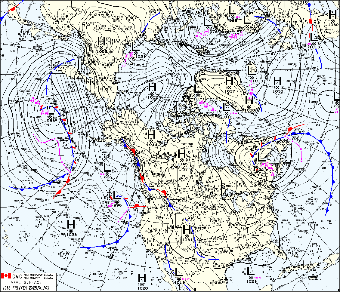
Meteo Blue Multimodel forecast for Whistler (L) and the image of the day shows a stationary arctic front in the blue red lines over the province with strong high pressure to the north and 996mb low pressure system offshore (R).
Avalanche Canada currently has the hazard at 111 for Whistler/Pemberton and 211 for Squamish/North Shore/Coq. The existing hazard is a wind slab problem and is in specific locations near ridge-top. It’s worth noting however that the winds did shift to coming from the north on thursday and some newer slabs may be forming on aspects we haven’t been watching the last few storms. These slabs are going to be the biggest issue in very steep or high consequence terrain where a small slab could hit you from above or push you over a cliff.
While loose dry avalanches aren’t currently listed as a problem, it’s worth mentioning that sluffs are running faster and further than usual with the cold temps. A small windslab could certainly entrain a bit more snow with the cold dry powder we’ve got at the moment.
What are our questions for the weekend?
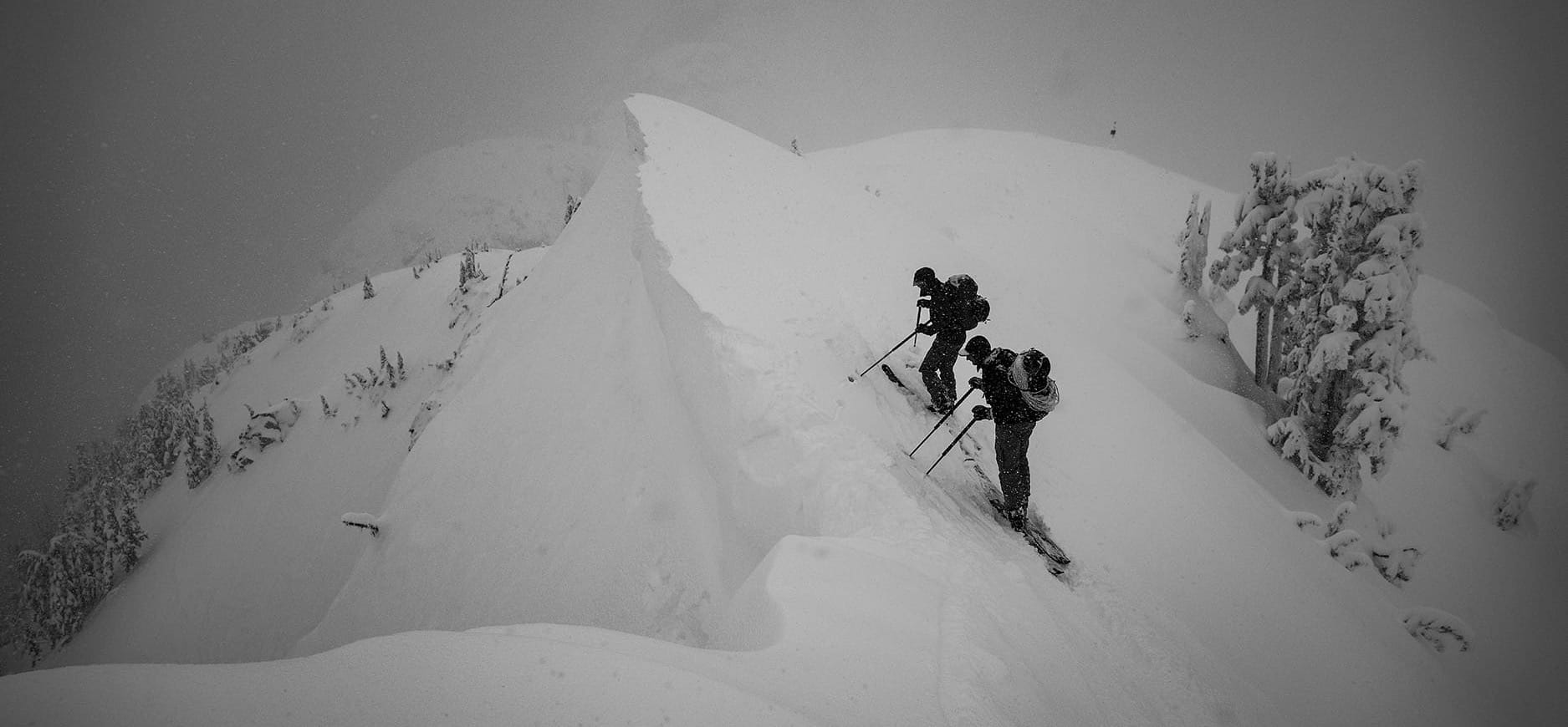
- Where did the wind strike the last few days? There's incredible snow to be found so don't ski past it en route to something else. If you find a good elevation band, don't give it up for something unknown!
- How much wind and new snow is coming? Feel like this is a repeat question? Yep - we pretty much always want to know if we’ll hit that critical loading of 20-30cm new snow and/or consistent moderate or greater wind for slab development!
- If we get a bit of high pressure and clear/cold, will the new snow be falling on facets or surface hoar? Especially a question for the interior Duffey. Our current snow surface is soft and cold!
What will I watch out for or avoid completely?
- Big complex alpine features that require a fat snowpack. See below for why.
Closing Thoughts:
It’s tempting to go big. Green brick is pretty hard to argue with. However we just don’t have a fat snowpack yet. It hasn’t had time or thickness to compress itself into a homogenous mass. We currently have a simple, but still thin and layered, early winter snowpack. Some of the high faces still barely have snow at all and thinly covered rock abounds. Anecdotally, I think the NW Face of Matier has slid down to glacier ice the last three years around this time. Step out slowly. Focus on finding good snow, not necessarily the objective “lines”. When the snowpack is doubled in March and April and squishes itself to the mountains, it will be a lot better to go for the mega lines.
For more information, check out Zenith Mountain Guides and our local avalanche forecast. These updates are supported by SkiUphill Squamish - the best stop for ski touring equipment in the Coast Mountains and made possible by the Sea to Sky Gondola! Use this information at your own risk. Conditions change rapidly from when this report was written!

Member discussion