
Jan 8 - Sea to Sky Snow Conditions
Overall theme:
It’s been really good! The past week has been steady hits of storm snow at relatively low elevation and our primary avalanche problems have been near the surface (thanks wind). We’ll be watching closely as freezing levels rise at the end of the weekend…
We also just found out about a sweet new forecast tool - built locally, it’s Alpine Conditions. Especially valuable is the ensemble presentation and our favourite, the compare locations feature!
Where we’ve been skiing:
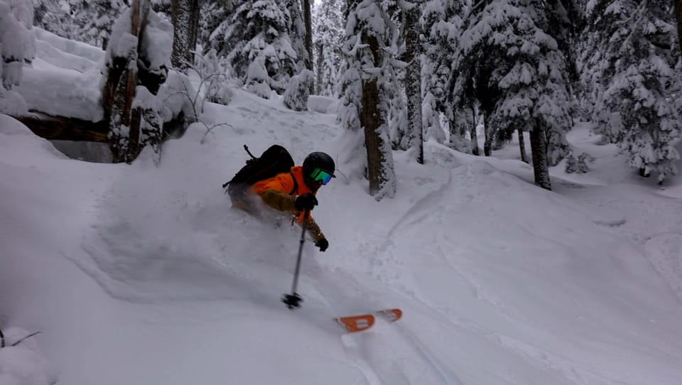
Squamish Gondola, Red Heather, Whistler-Blackcomb, Mt. Currie, Cayoosh, Callaghan, Steep Creek! It’s been outright excellent skiing!
What’s happened since the last update (weather & general snowpack structure):
We have essentially had a week of storms with snow stacking up. Classic setup with wetter conditions near the coast but really nice low freezing levels. Temps have fluctuated a bit giving some density changes in the snowpack but overall, it’s building throughout the corridor and settling fairly quickly. Surface hoar grew early in the week on a clear night but it hasn’t been implicated in avalanches in the corridor - rather we’ve seen relatively small slabs building in direct lee areas, especially those with good snow fetch zones to facilitate slabs. Rapid settlement shouldn’t lead to complacency however as these wind slabs have been quite reactive to skier traffic!
With nearly a meter of new snow on the Coast and more like 50cm on the East Duffey, access has improved significantly. BTL is in much better shape than just over a week ago! All the major trailheads are accessible with the notable exception of the Watersprite road and the Squamish Valley Road. 1200m seems to be the magic elevation where snowpack really drops and creeks are open and groundfall not as covered. Below that elevation expect lower tide.
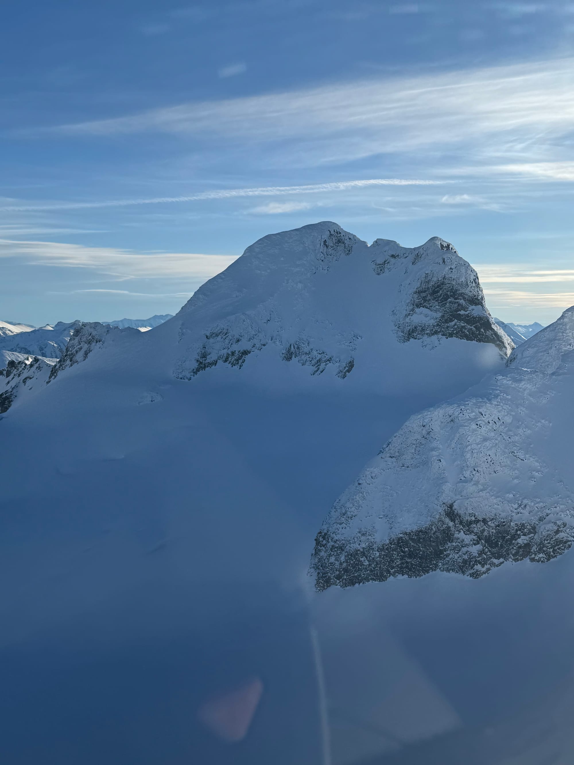
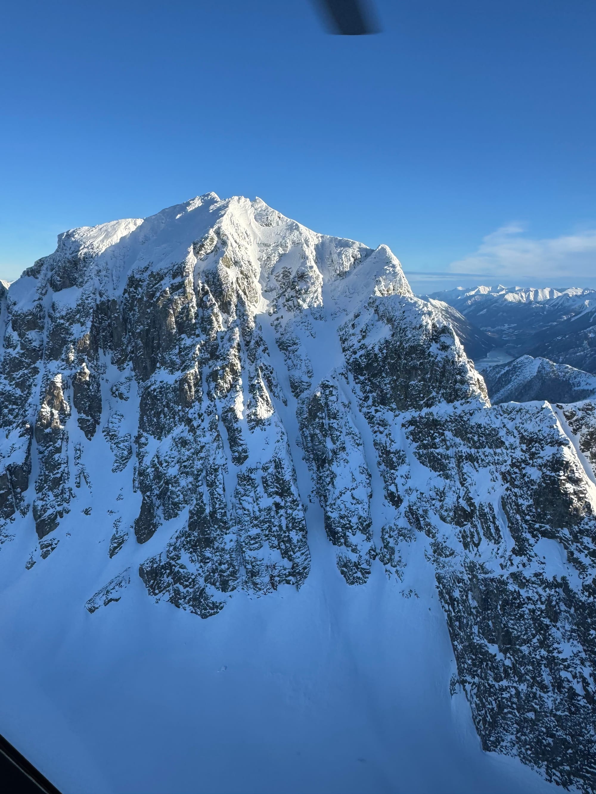
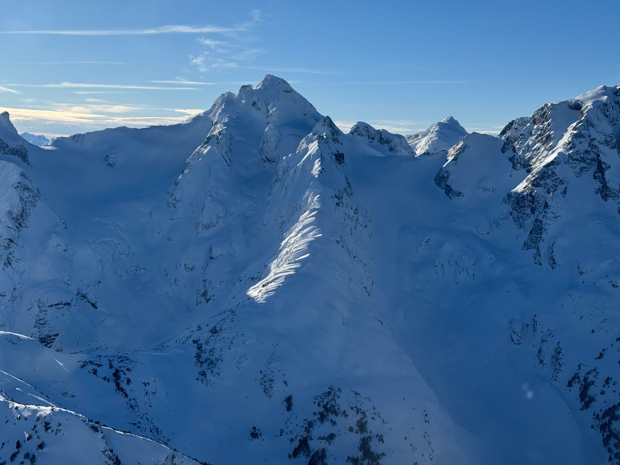
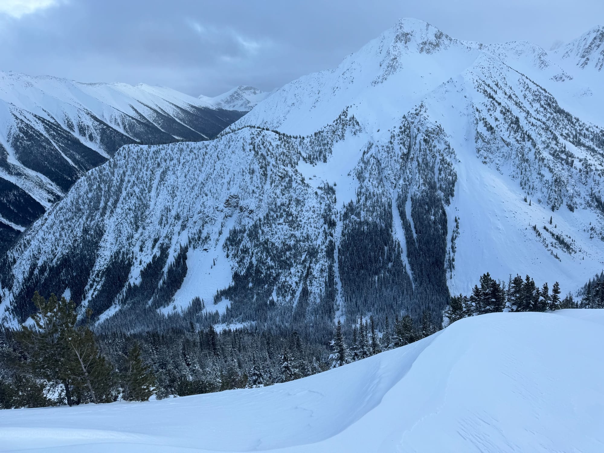
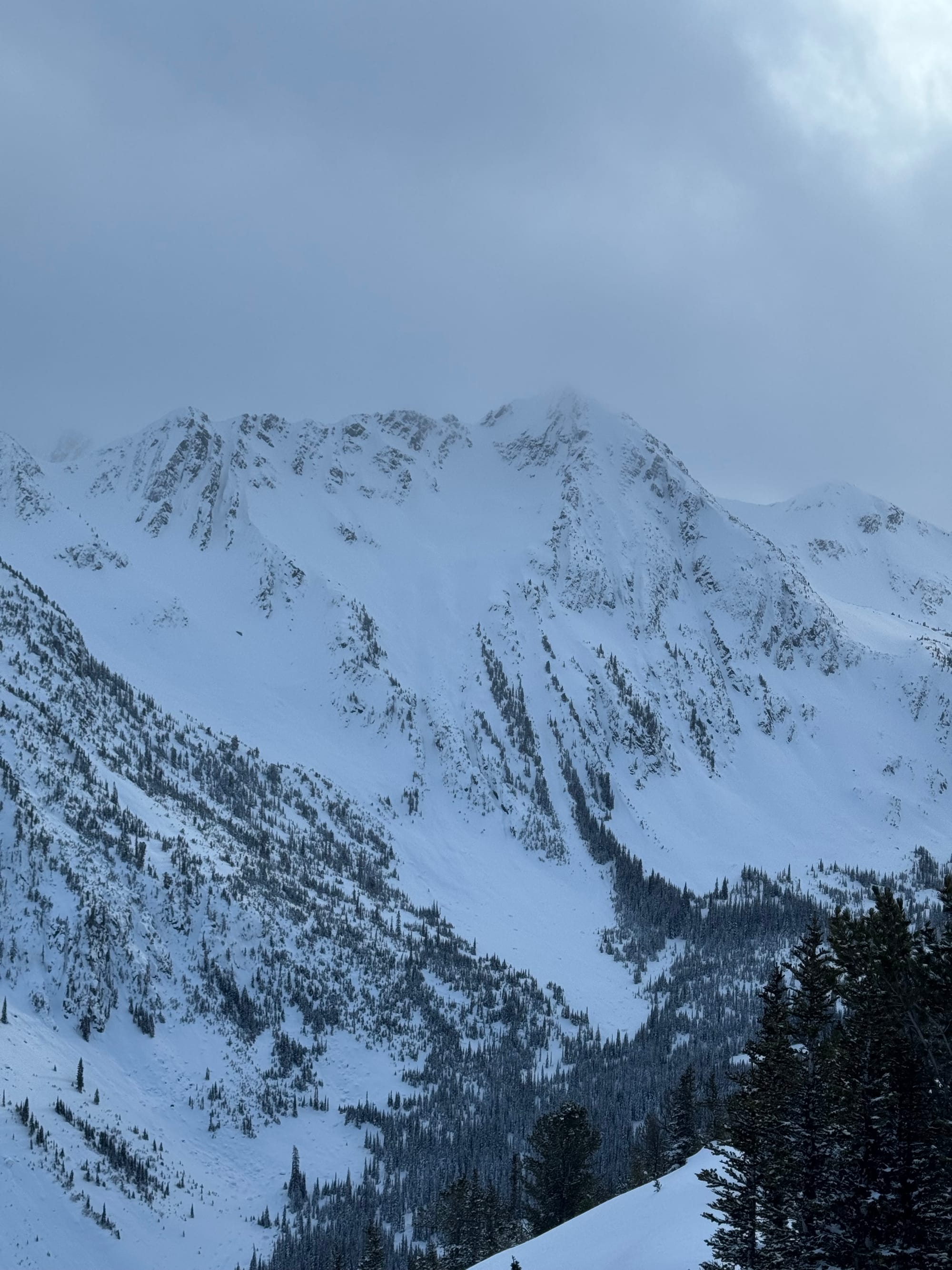
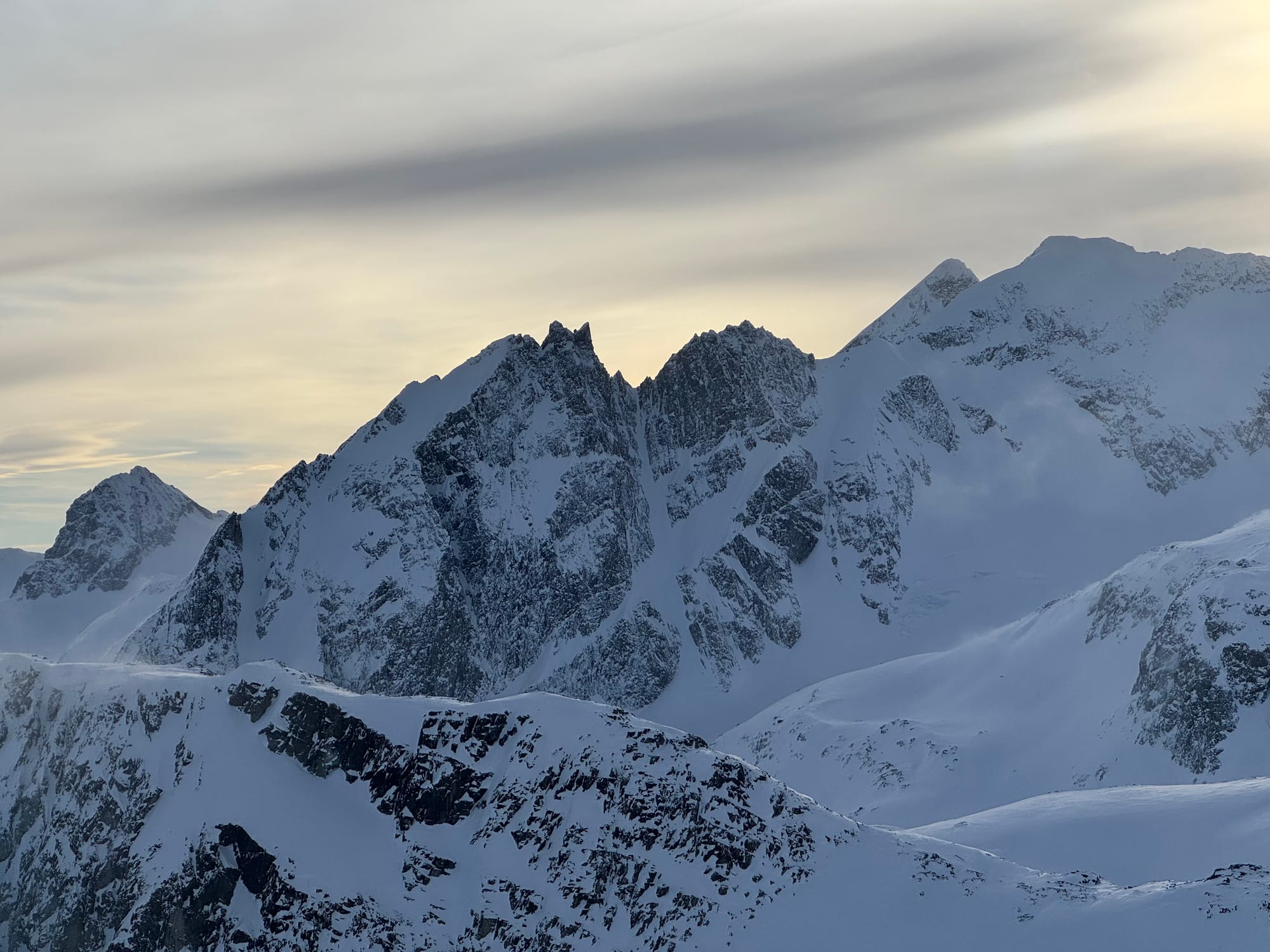
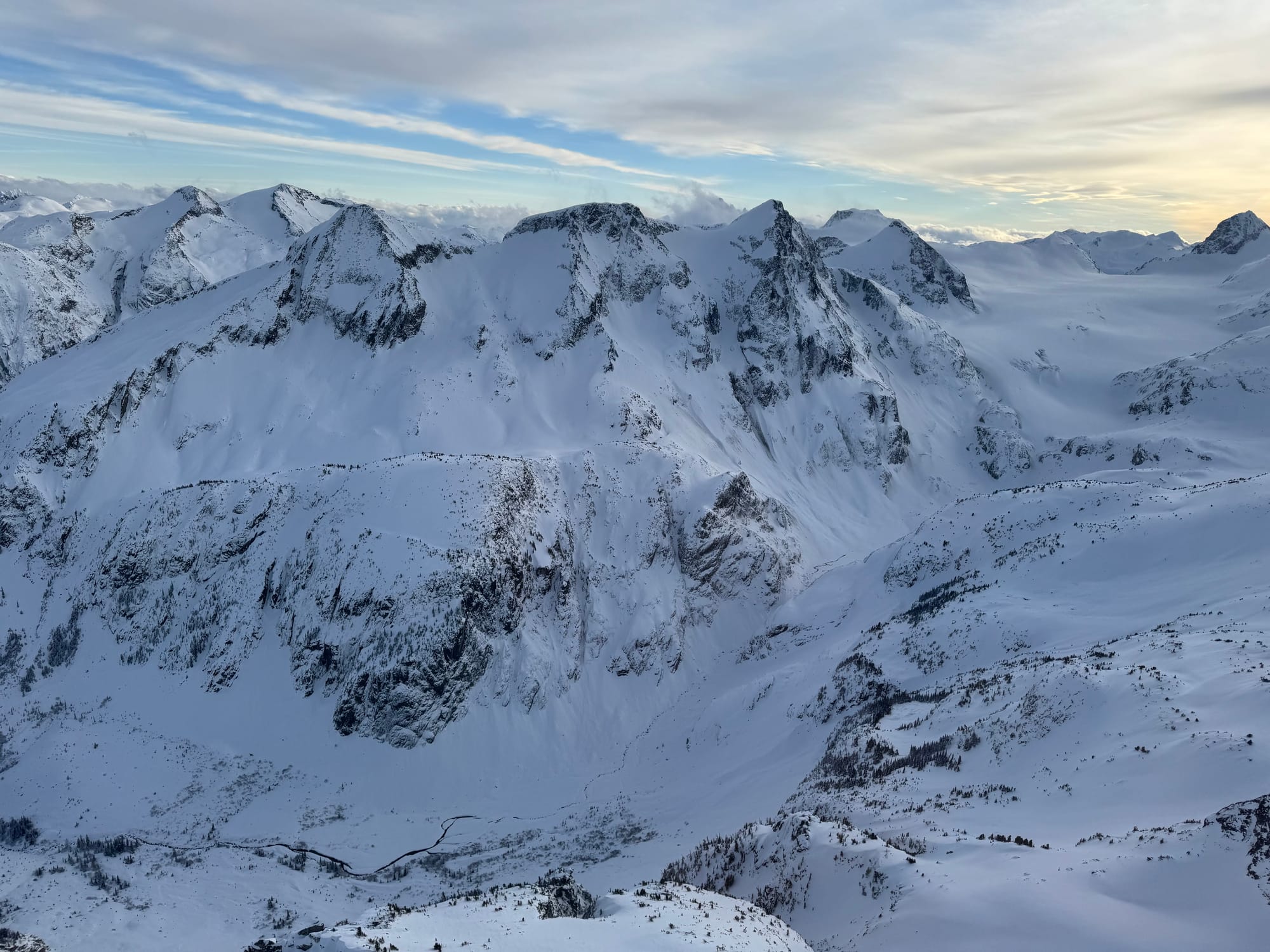
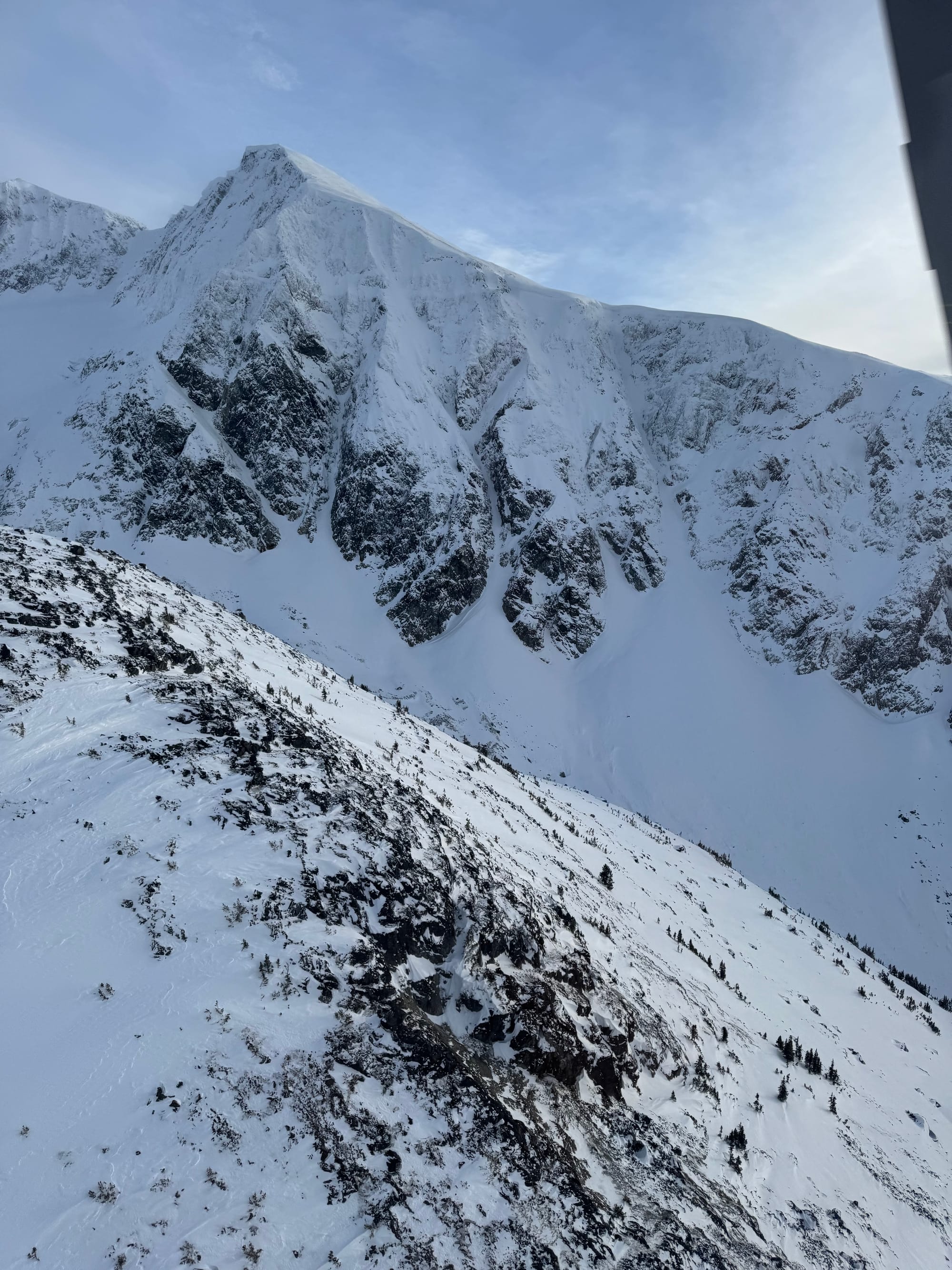
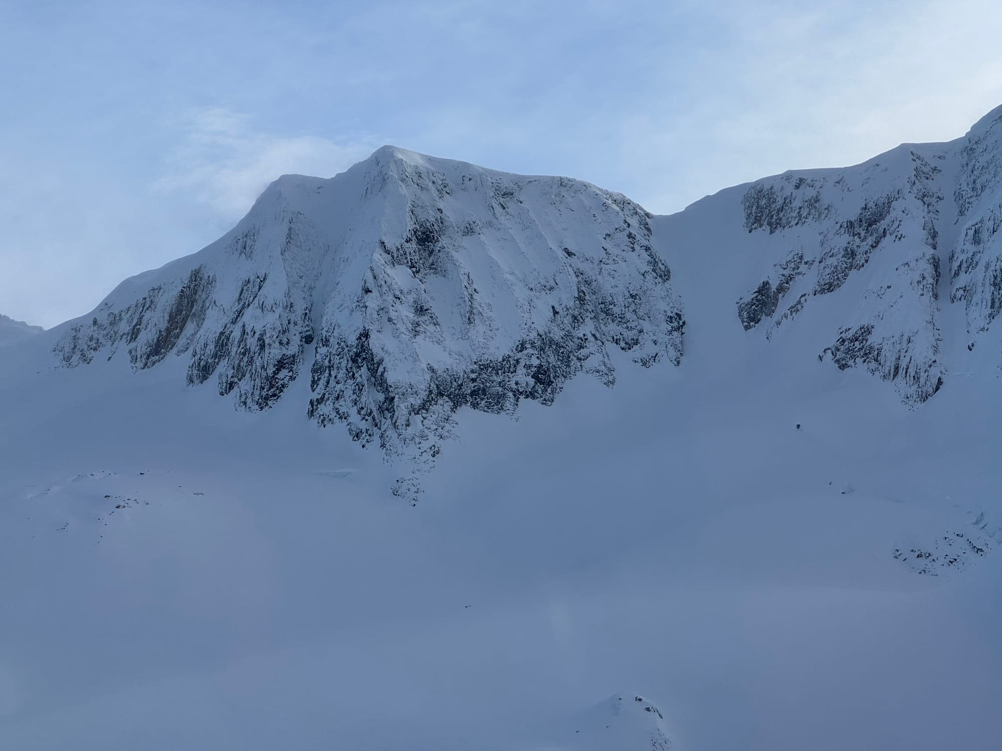
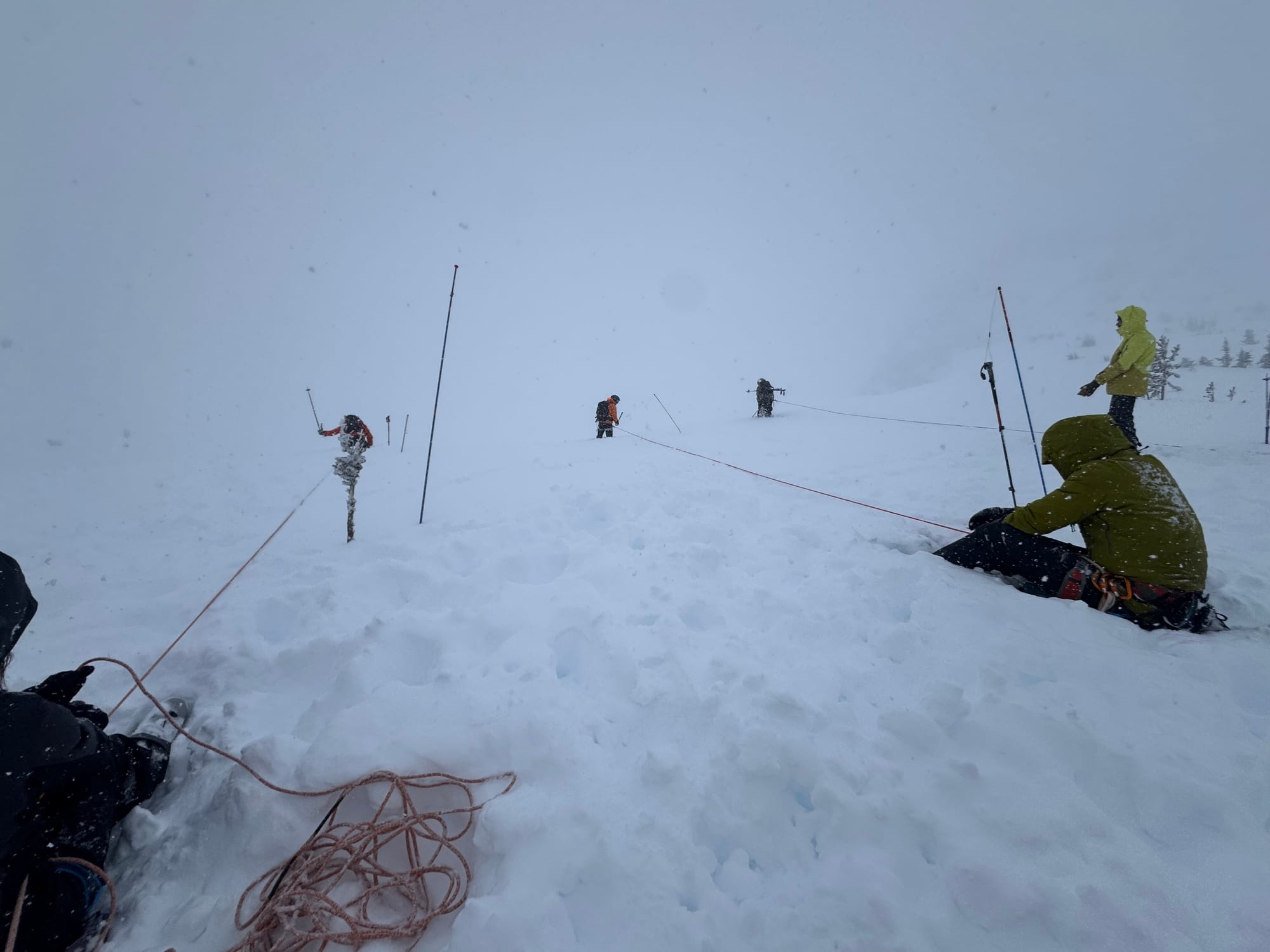
Beta photos from Matier, Steep Creek, and Wedgemount areas.
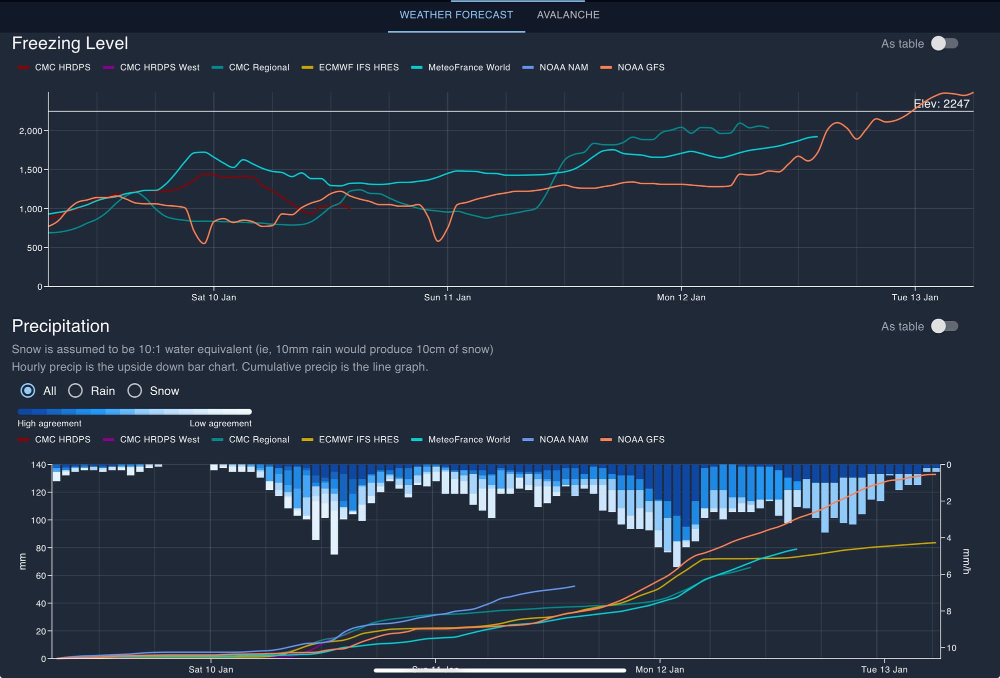
What’s the weather and avalanche forecast?
Make the most of the current conditions this weekend, as significant changes are anticipated. A frontal system will bring precipitation to the area on Saturday and Sunday, with a powerful low in the Gulf of Alaska establishing a strong southwest flow that will transport moisture from the subtropics towards the BC coast, creating an atmospheric river. Moderate to heavy precipitation is expected to start on Sunday night along the BC coast, potentially persisting until early Tuesday. The combination of warm temperatures, high freezing levels and substantial rainfall may lead to avalanches and landslides. A strong ridge of high pressure is forecast to develop by the middle of next week.
Wind speeds:
- Friday: Southwesterly 40 gusting 60 km/h.
- Saturday: Southwesterly 40 gusting to 80 km/h
- Sunday: Southwesterly 50 gusting 90 km/h
Freezing Levels:
- Friday: 500m rising to near 1200m
- Saturday: 800m rising to near 1200m
- Sunday: 900m rising to near 2000m by Sunday evening
Precipitation: 40 to 60cm storm totals.
- Friday: Trace to 5cm by 4PM
- Saturday: 20 to 30cm by 4PM
- Sunday:10 to 20 by 4PM
We’re continuing to ride our wind slab problem into the weekend with hazards hovering around moderate and considerable. Consider the size of the slab (essentially the size of the feature) you are exposing yourself to and the size of the resultant avalanche! As the next system arrives on Sunday/Monday, we’ll see hazard spike with the potential for rain on snow.
What are my questions for the weekend?
- Will the wind hold off and let the current storm snow settle? Similarly, where can I find sheltered terrain that hasn’t been as wind affected?
- What will we see for freezing levels in the storm currently forecast to arrive Sunday night? This could turn out to be a rain on snow event and lead to some pretty destructive avalanches.
What will I watch out for or avoid completely?
- Low tide at the lower elevations, groundfall and creeks will be open still. Immediate lee on peaks and ridgetop features.
Closing Thoughts:
It’s been a good run. Make the most of it before the weekend arrives. We’ll see a big spike in hazard during the big storm but then if we have warm temps and high pressure, it could be on to peak bagging season and fast travel in the alpine. Be prepared for a mindset shift!
Also - upcoming things to think about:
Ski Uphill is hosting a ski film night next week!
We still have space on a hut trip to the LQ outpost in the Selkirks February 1-8. This is one of the best trips you can ever do if you like amazing skiing out your door, sauna’s and top notch food. No driving, just hut life and powder gluttony for a week. Get in touch: zenithmountainguides@gmail.com!
We also have our ProLines course in Feb. If you’ve been grappling with how to take those AST skills to make go/no-go decisions on big mountains, this course is for you!
For more information, check out Zenith Mountain Guides and our local avalanche forecast. Weather forecasts are custom from meteorologist Jason Ross. These updates are supported by SkiUphill Squamish - the best stop for ski touring equipment in the Coast Mountains and made possible by the Sea to Sky Gondola! Use this information at your own risk. Conditions change rapidly from when this report was written!
Member discussion