
March 6 - Sea to Sky Snow Conditions
Overall theme:
Amazing winter conditions slowly slipping away from us… But spring is on the horizon!
Also of note, we've had a single cancellation for a trip on the Icefall Traverse with Zenith Guide Brian Burger. April 3-9 and $3850CAD gets you out on a 7 day/6 night, hut to hut ski traverse through some of the most spectacular glaciated terrain in the BC! Ski tour with your light day pack and enjoy the comforts of cooked meals, saunas + comfy beds along the way. Heli flights in + out, all meals + guiding included. Send zenithmountainguides@gmail.com an email if you're interested!
Where we’ve been skiing:
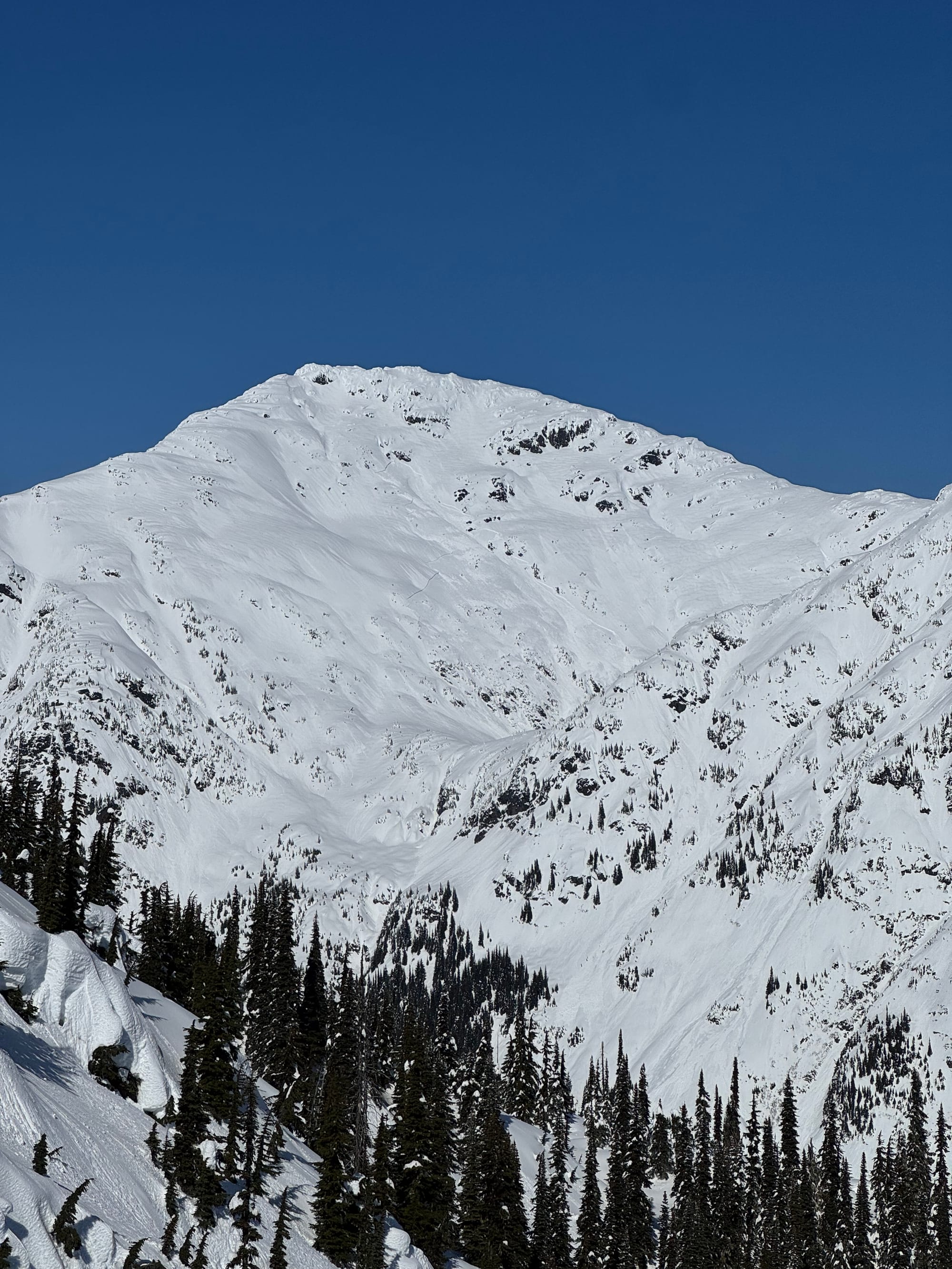
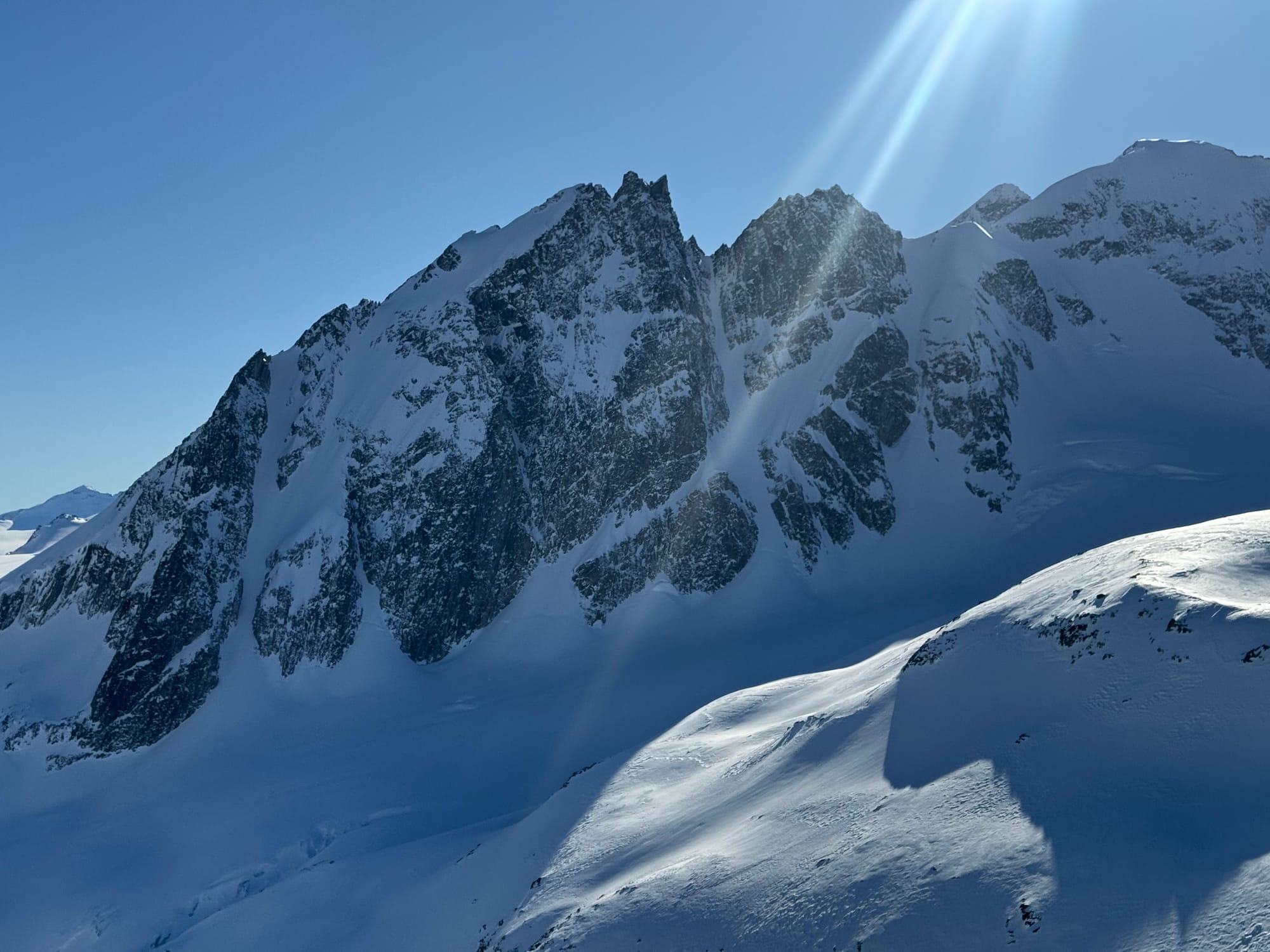
Squamish, Whistler/Blackcomb, Duffey, Currie Zone. No big changes in trailheads or access this week. Sea to Sky Gondola road is hanging in there. A bit of gravel spots but overall good shape!
What’s happened since the last update (weather & general snowpack structure):
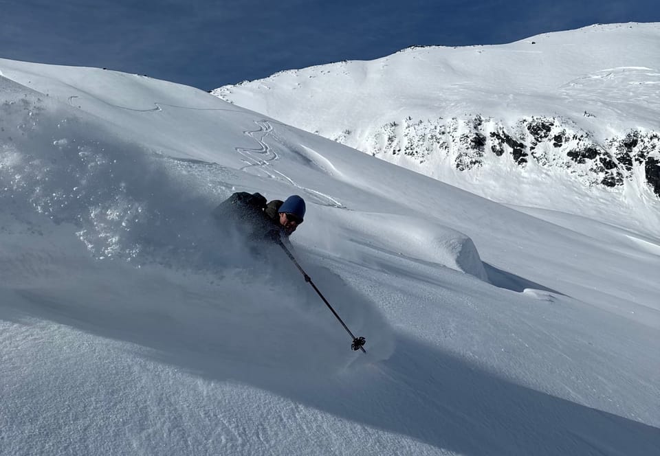
The week started off with some warm temps quickly settling our old snowpack and what felt like - and skied like - a tightening up. But we were all walking around on eggshells expecting the worst. The odd pocket where old surface facets/surface hoar from Feb 22 were protected popped out, and the recent avalanche fatality on the Anniversary Glacier area had us all with heightened spidey senses. For the most part, from both a skiing and avalanche perspective, the activity dropped off a bunch and we started to poke out to smaller unsupported features and ride a little more aggressively. Then a warm and windy storm came mid week and did its best to clean up the problem. What resulted on Thursday was a classic spring right side up day, as the storm finished cold and calm with that ‘glued on’ kind of feeling. There were some signs of an early storm wind and snow cleanout to size 3. That gave us a bit more confidence that some of the problem would be blitzed. I think we’re all waiting for a good March wallop to clean up any lingering pockets and give us confidence for the riding the bigger, unsupported features. As the data will suggest, March is historically the time for some big and fatal avalanche cycles, so beware the ides of March which is quickly approaching.
Avalanche activity in the corridor? As noted we had a decent cycle to size 2.5-3 from storm snow with the odd pocket popping out from deeper layers earlier in the week. The big winds with the midweek storm did their best to hide any real evidence of deeper layers being triggered.
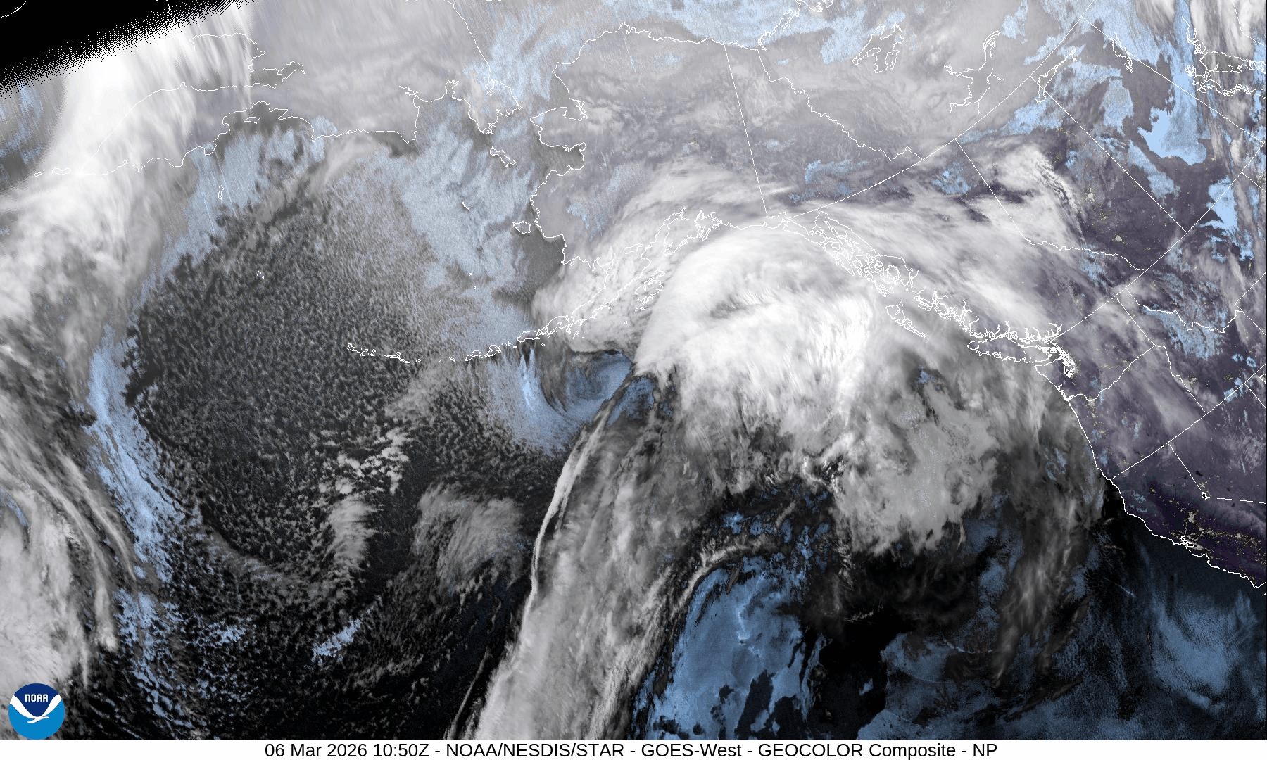
What’s the weather and avalanche forecast?
A southwesterly flow will drive a slow-moving warm frontal system across the area on Friday and Saturday, resulting in rain for lower elevations and snow for high alpine areas. A cold upper trough will move south from the Gulf of Alaska on Sunday, bringing a strong westerly flow with cooler conditions and low freezing levels early next week. Although details are not yet clear, the cold westerly flow expected next week may bring periods of heavy alpine snow, which we need to address our below-average snowpack.
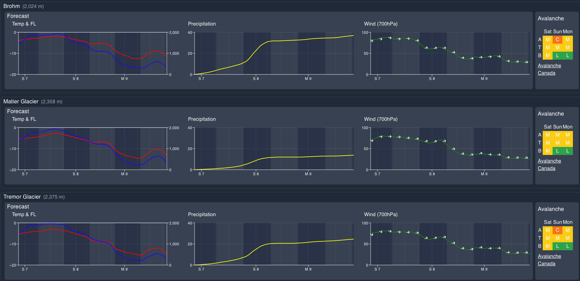
Wind Speed:
- Friday: Southerly 40 gusting 80 km/h.
- Saturday: Southerly 50 gusting 100 km/h.
- Sunday: Southerly 40 gusting 80 km/h.
Sea to Sky Freezing Levels:
- Friday: 1000m rising to near 1600m
- Saturday: Rising near 2000m
- Sunday: 2000m lowering to 300m by Monday morning.
Precipitation: Snowfall total for 15-25cm are possible over the high alpine
- Friday: 5-10 cm by 4 pm.
- Saturday: Trace to 5 cm by Saturday morning at 4am, 2-5cm by Saturday afternoon at 4pm.
- Sunday: 5-10cm by Sunday morning at 4am, trace to 5 cm by Sunday afternoon at 4 pm.
Avalanche hazard is elevated over the weekend as the warm/wet moves through but we’ll hopefully see it tighten up early next week. The bigger question is will we get enough of a cleanout that the Persistent Slab problem gets dropped from our list?
What are my questions for the weekend?
- Unfortunately, the big question is how warm will it get and how high will it rain? The main line of weather is just to our north, so we are on the souther, warmer edge of things, and that shows with forecasts getting too warm. The real question will be the timing and reset of Saturday night's cold front, and if it can give us enough to have another high quality glued on spring pow day on Sunday.
- Will next week bring some glorious refresh days with colder temps? Looks like a possibility for those perfect spring storm days by mid-week.
What will I watch out for or avoid completely?
- Overhead hazard and loose wet avalanches if it gets as warm as they say tomorrow!
Closing Thoughts:
It's not open season yet. We're getting there but not quite. Step out cautiously and look for strong signs that it's go time.
For more information, check out Zenith Mountain Guides and our local avalanche forecast. Weather forecasts are custom from meteorologist Jason Ross. These updates are supported by SkiUphill Squamish - the best stop for ski touring equipment in the Coast Mountains and made possible by the Sea to Sky Gondola! Use this information at your own risk. Conditions change rapidly from when this report was written!
Member discussion