
May 9 - Sea to Sky Snow Conditions
Overall Theme:
Timing is everything now. We’ve tapered off our skiing quite a bit but it’s still happening - that dry rock is tempting though.
Where we’ve been skiing:
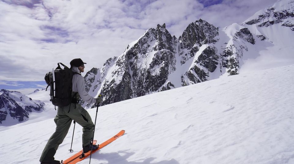
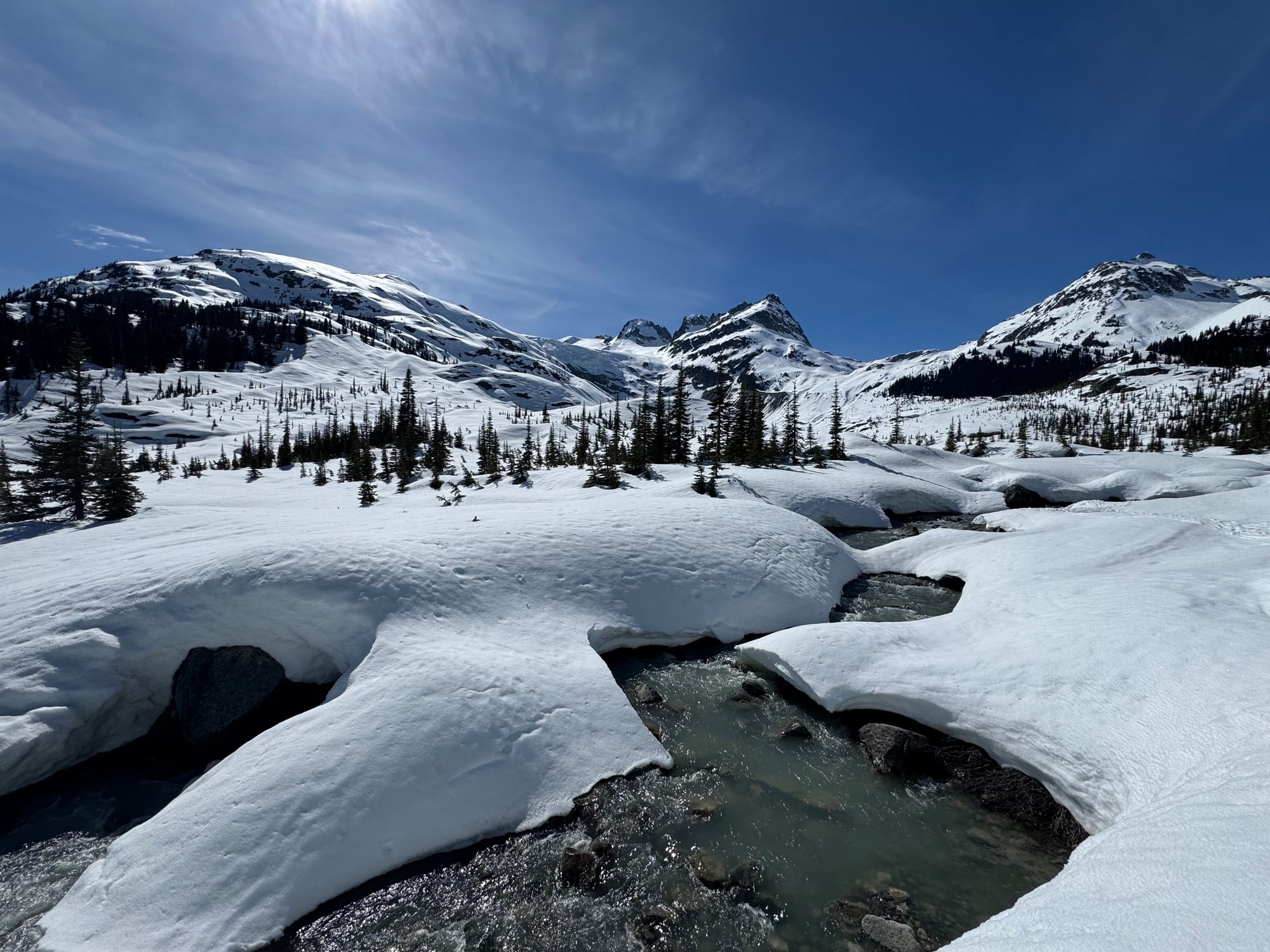
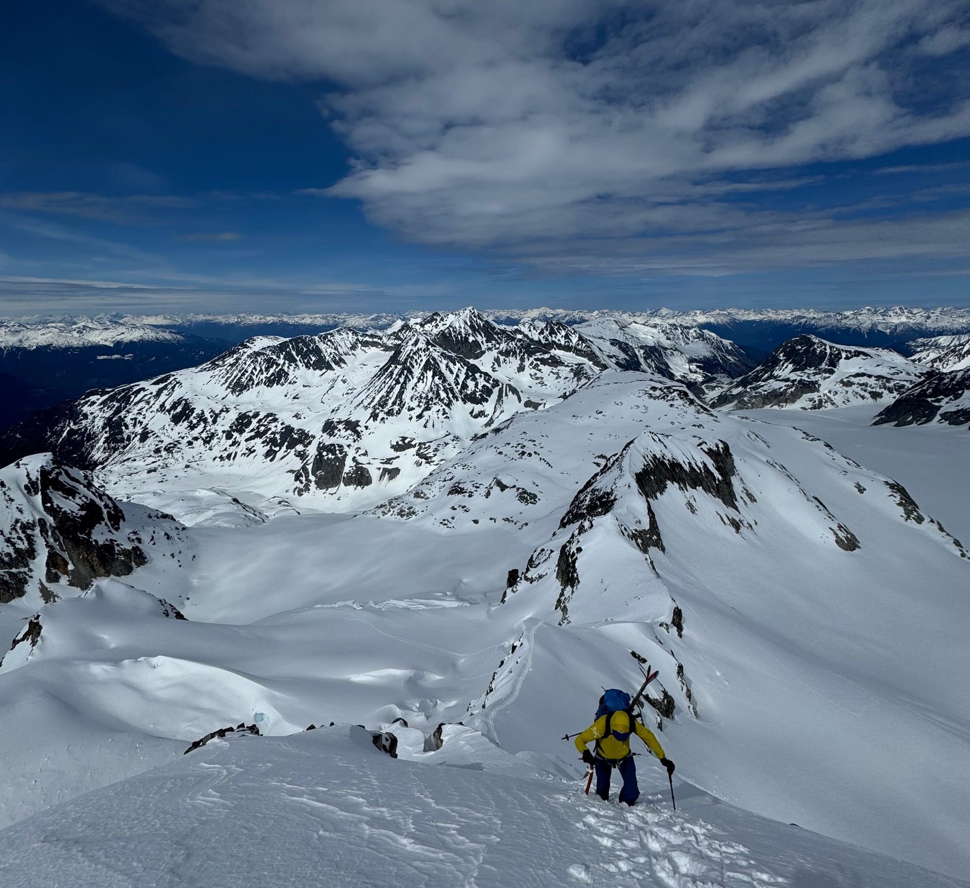
We’ve been in the Currie/Spearhead Range, the McBride as well as the Tantalus. Valley approaches are gross right now but alpine travel can be excellent. We’ve found 1450m to be about the magic number for where you’ll find snow cover in sheltered forest. Very sun exposed areas are a different story. It looks like the Lake Lovely Water Trail is snow-free nearly to the hut! Red Heather requires 2km of road walking to reach snow. Blackcomb is download only.
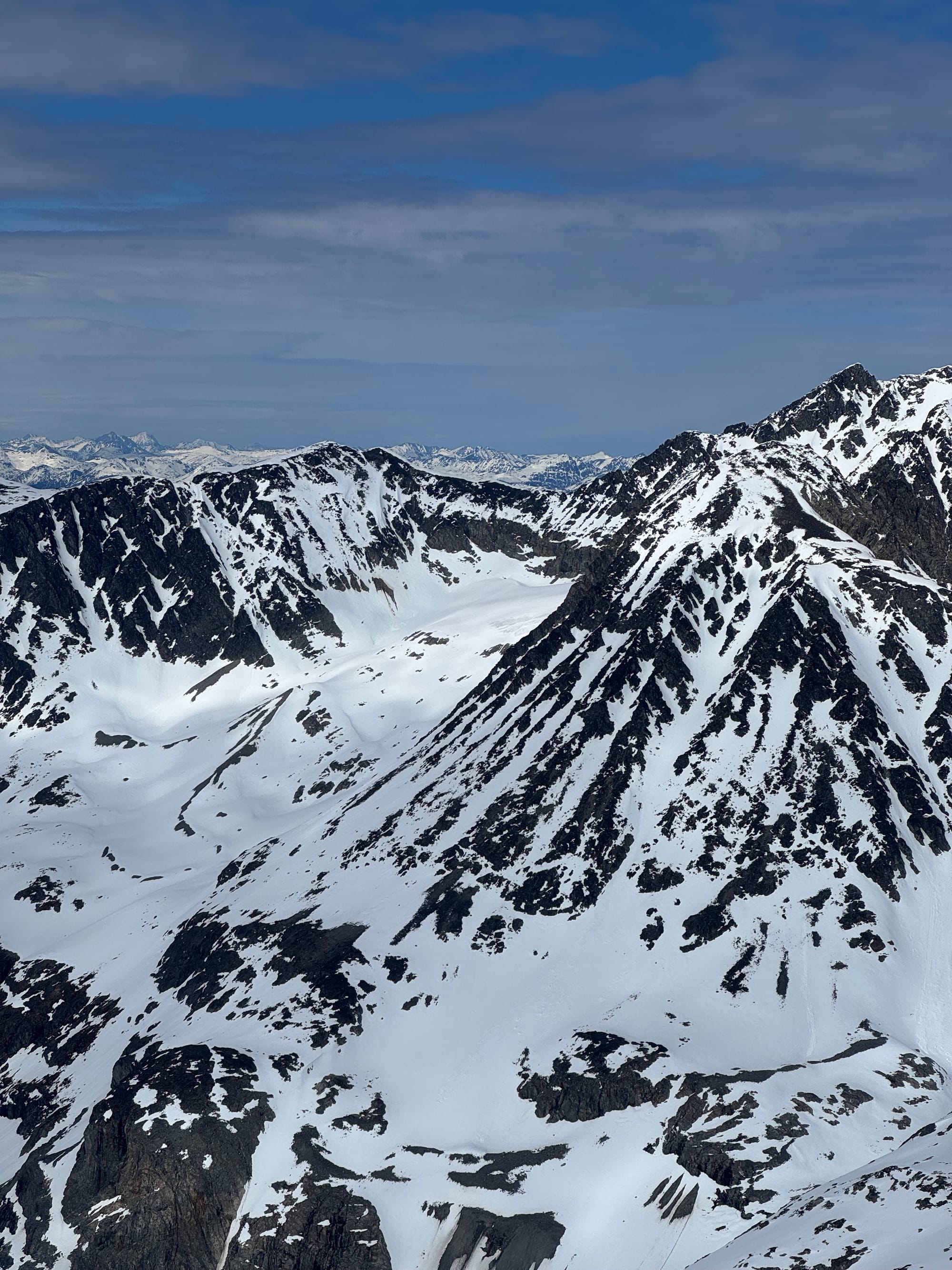
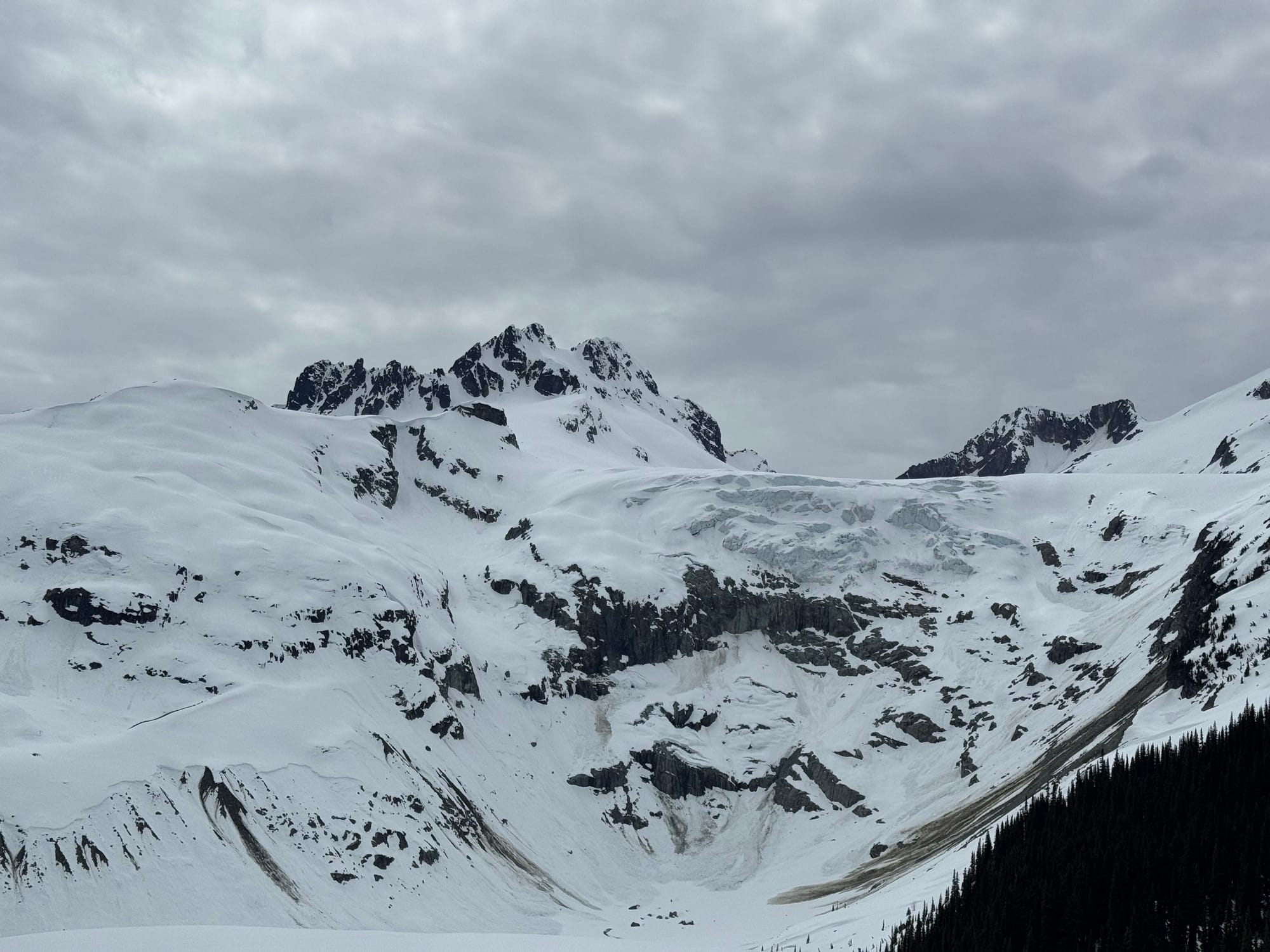
Left: Dionne Glacier in firm snow conditions. Centre: Steep chalk on the Owls. Right: Looking out at the Weart group.
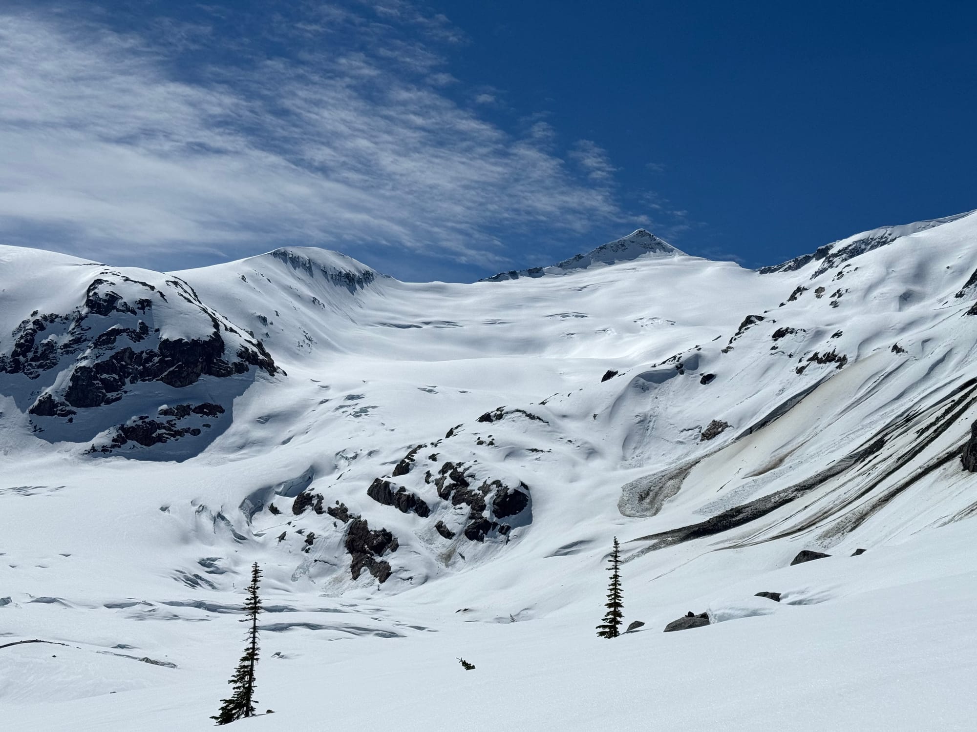
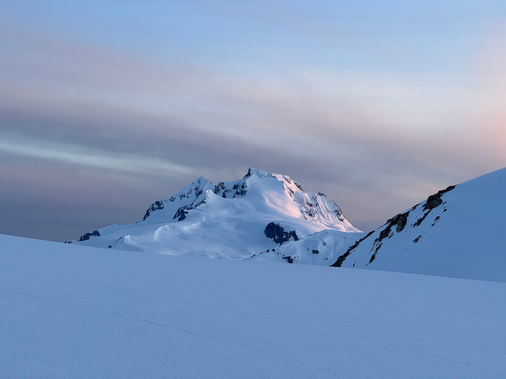
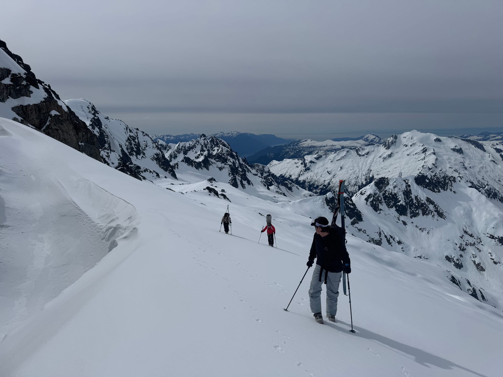
McBride Conditions Pics: behind Diavolo (top left), Naden Pass (top right), McBride (bottom left), Nch’Kay (bottom right) (Jack Casey Photos)
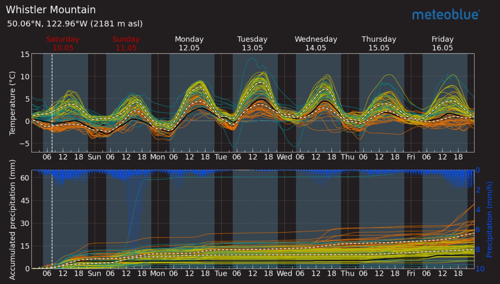
What’s happened since the last update (weather & general snowpack structure):
The snowpack is currently full spring diurnal with melt during the day and cold freezes at night. Watching for overnight freezes is critical. Freezing levels have actually been surprisingly low overnight. This makes for good crust recovery and not as sloppy conditions during the day. At some point soon though we will see those overnight freezes start to disappear and transition more to a summer snowpack. We’ve had a few pulses of precipitation but in general it’s been high pressure. We had good timing with one of these small storms and catching some good skiing up high in the Wedgemount Group.
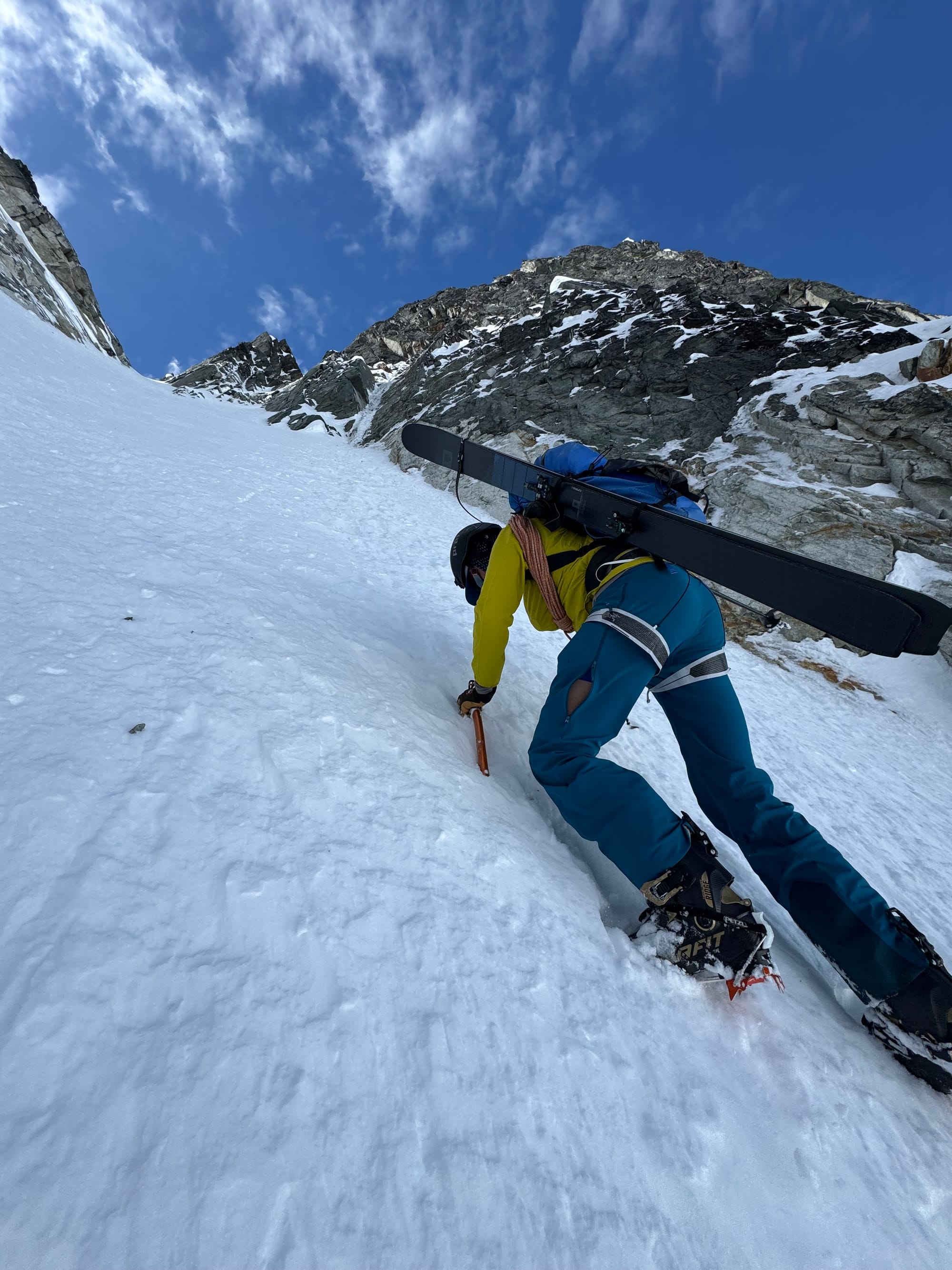
Avalanche concerns are primarily limited to surface instabilities like wet loose and, in the case of brief storms, possible windslab. Higher on our list of concerns though are the cornices that are hanging in there. They are slowly falling away but they’re still lingering! We turned around on a line in the Tantalus Range seeing the huge, partially detached cornice that we’d have to slide around and under to access it.
What’s the weather and avalanche forecast?:
An approaching upper trough will usher in cooler, cloudy conditions, with a chance of showers at times this weekend into early next week. If you're planning on heading into the high alpine this weekend, be prepared for snow at times, as the freezing level will be low enough. Sunday and Monday, the upper air conditions will be unstable, with a risk of thunderstorms.
What are my questions for the weekend?
- Will we see any precip as snow? This could make for some nicely pasted on steep ski conditions when the storms clear.
What will I watch out for or avoid completely?
- Cornice hazard!
Closing Thoughts:
The skiing is good right now if you time it right. Mornings are firm, fast travel, and ski crampons are critical. Afternoon can be awesome corn skiing. And if you time it really well with snowfall, you might still find some chalky pow on sheltered polar aspects!
For more information, check out Zenith Mountain Guides and our local avalanche forecast. Weather forecasts are custom from meteorologist Jason Ross. These updates are supported by SkiUphill Squamish - the best stop for ski touring equipment in the Coast Mountains and made possible by the Sea to Sky Gondola! Use this information at your own risk. Conditions change rapidly from when this report was written!
Member discussion