
Nov 20th - Sea to Sky Snow Conditions
Overall theme:
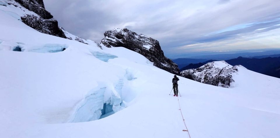
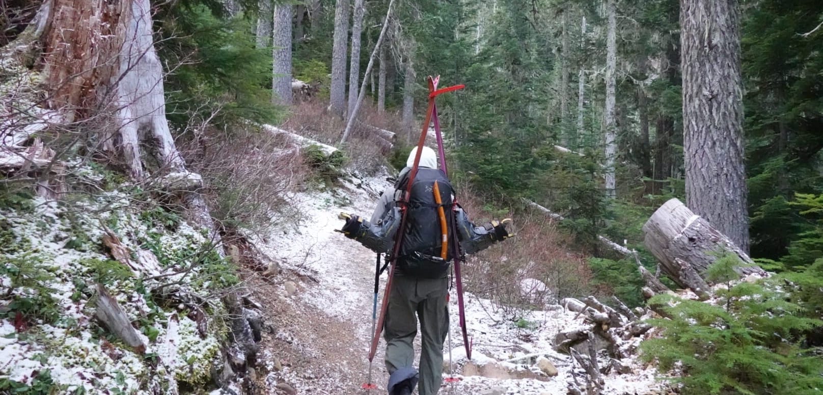
Let’s be honest. It’s thin. The super-keeners are getting after it right now but it takes some walking. It’s still a good time to start paying attention to conditions so you can be ready when it sets in for good!
Transceiver Refresher Session:
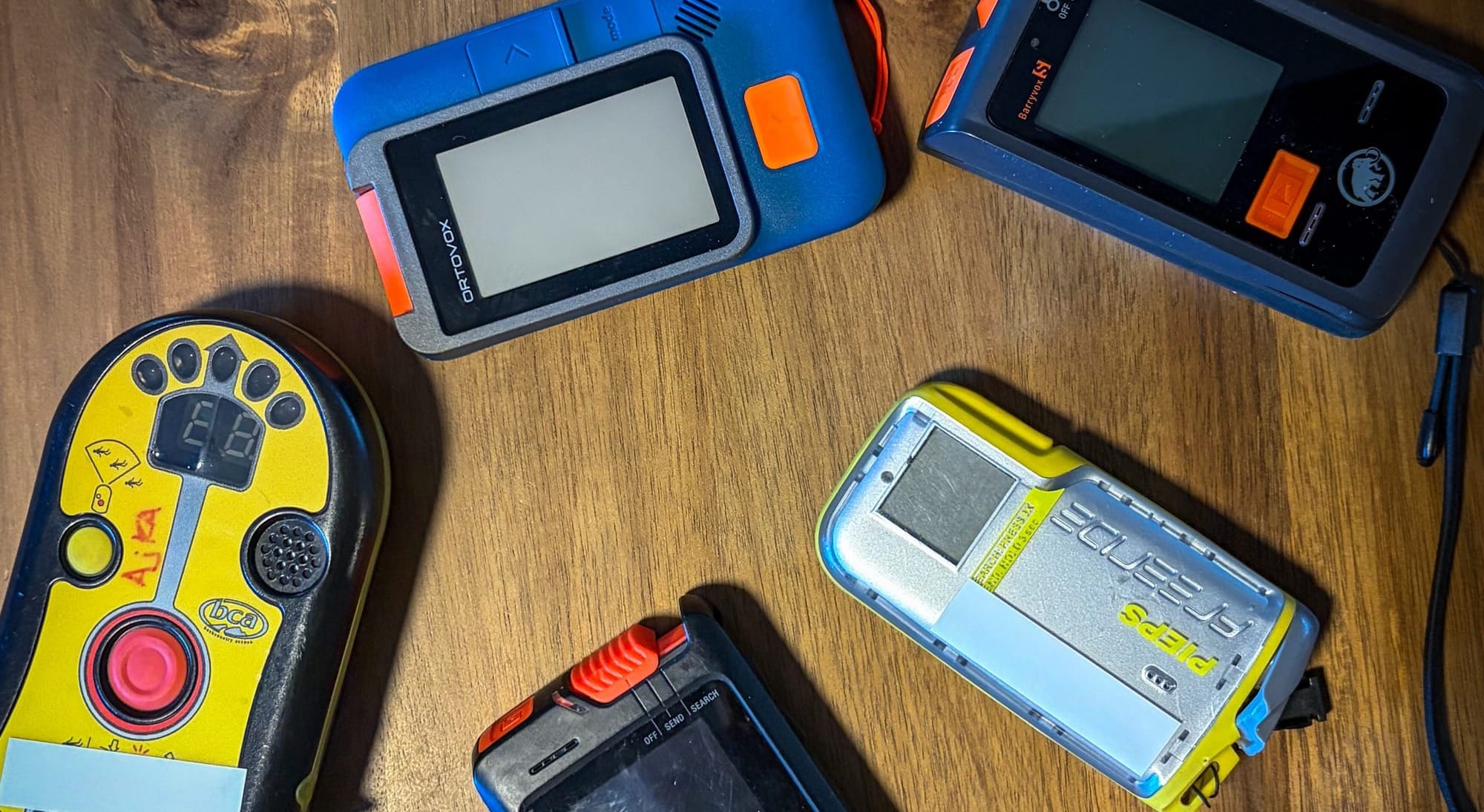
This weekend we're running a session to refamiliarize yourself with your avalanche transceiver. We'll make sure you've got batteries in, check the latest firmware, and then get into some of the more advanced functions you may not be using to their full extent. You'll get to run through a couple drills and test out other beacons if you'd like. Clinic is in Squamish, Sunday afternoon (Nov 22). The weather looks meh so this is a perfect way to spend the afternoon!
Hilda Hut Openings!
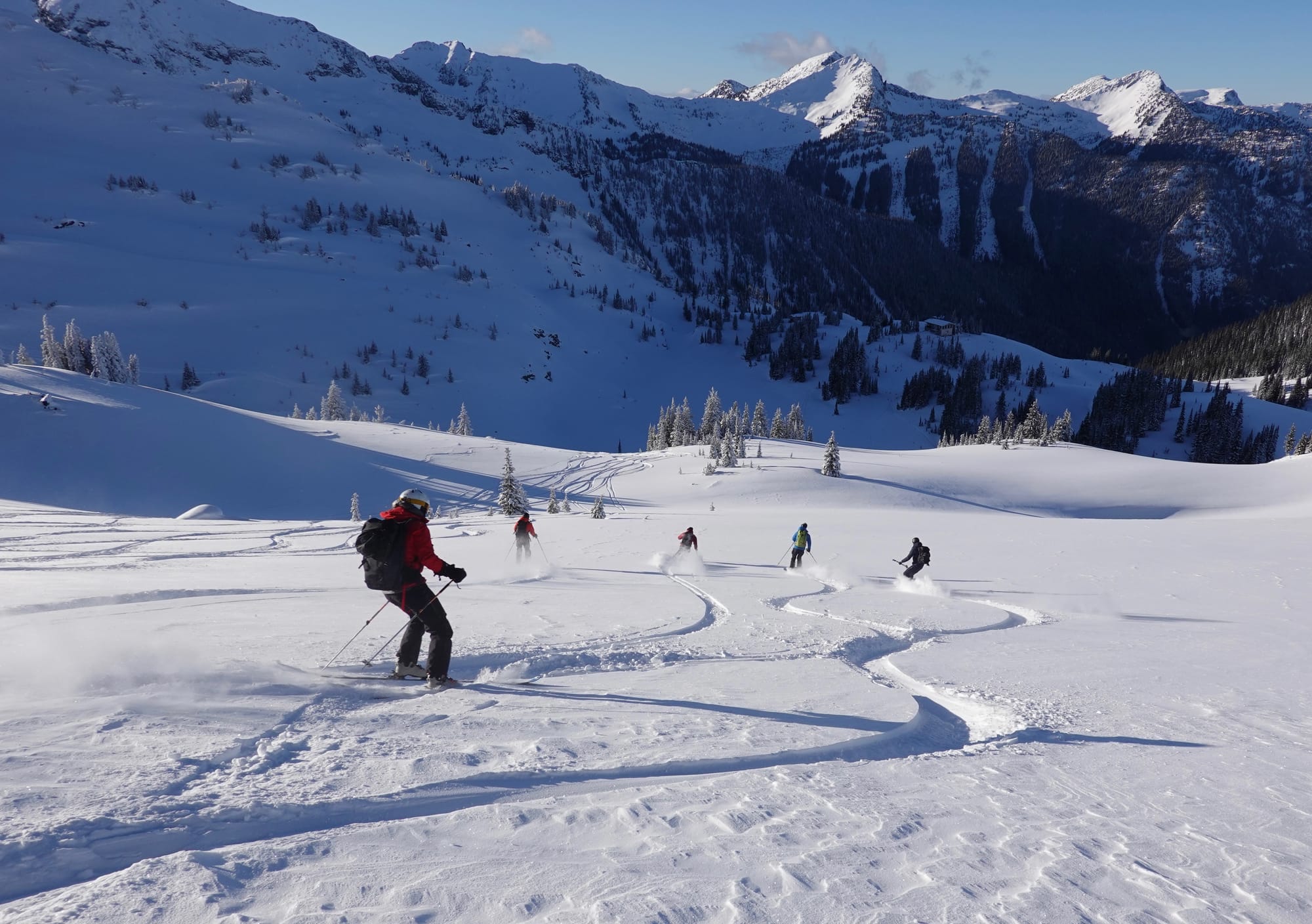
We’ve also got a unique opportunity with an opening on a lodge trip this season. Hilda hut is one of those places that we keep going back to year after year. Nearly topping Evan’s list of favorite lodges in BC, Hilda has it all: incredibly varied terrain from big alpine bowls, playful tree skiing, and steep, exciting couloirs right out the door. The lodge gets 4 stars for comfort and the sauna and the chef is the bomb!
Spend a week with us exploring this incredible corner of BC - You won’t regret it! We’ve got 6 spaces open for the Jan 24-31 trip. Heli transfer, food, lodging, and guiding all in for $3,500 per person. All you have to do is get yourself to staging near Vernon BC!
If this sounds good to you, send an email to info@zenithguides.ca!
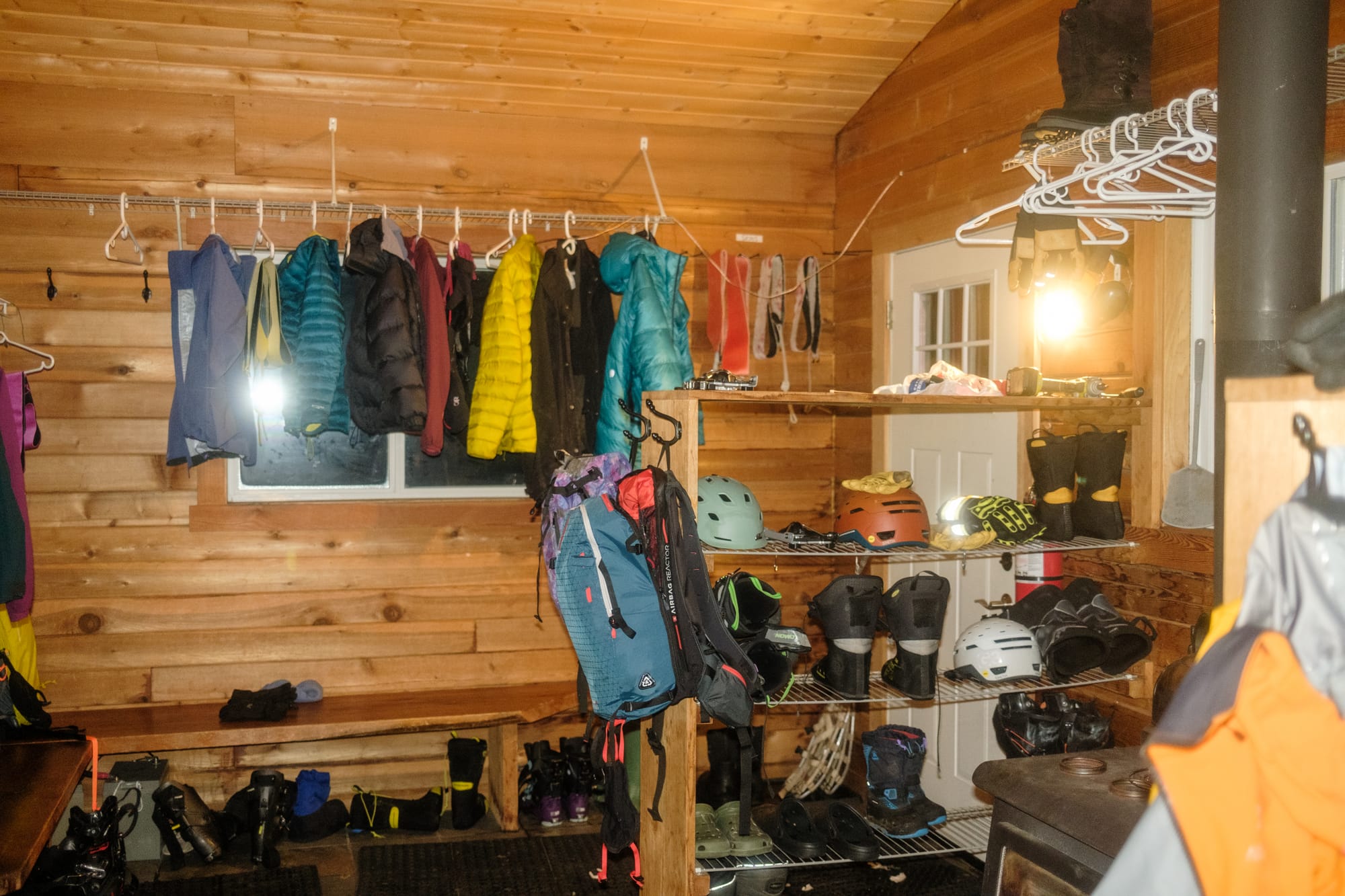
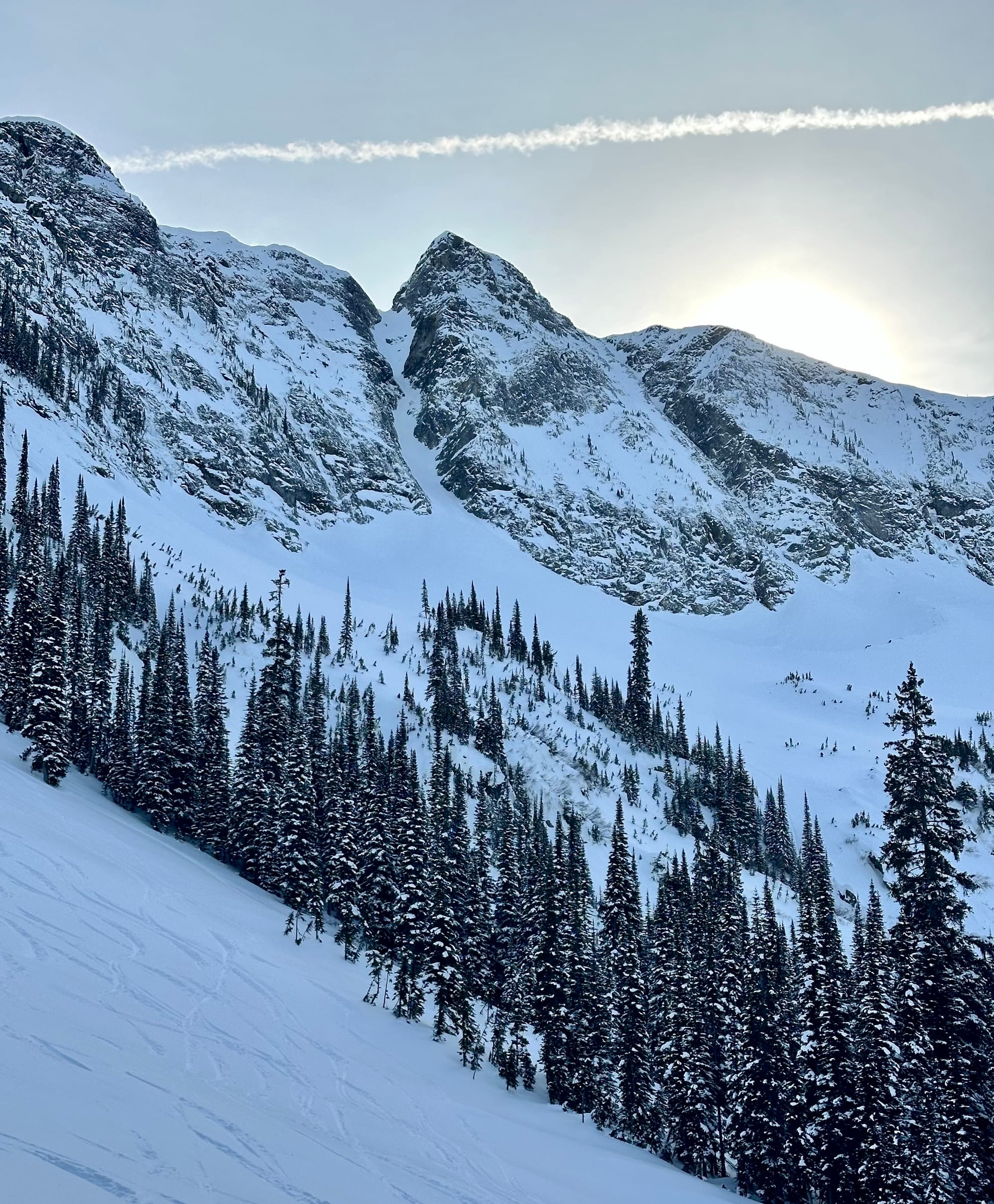
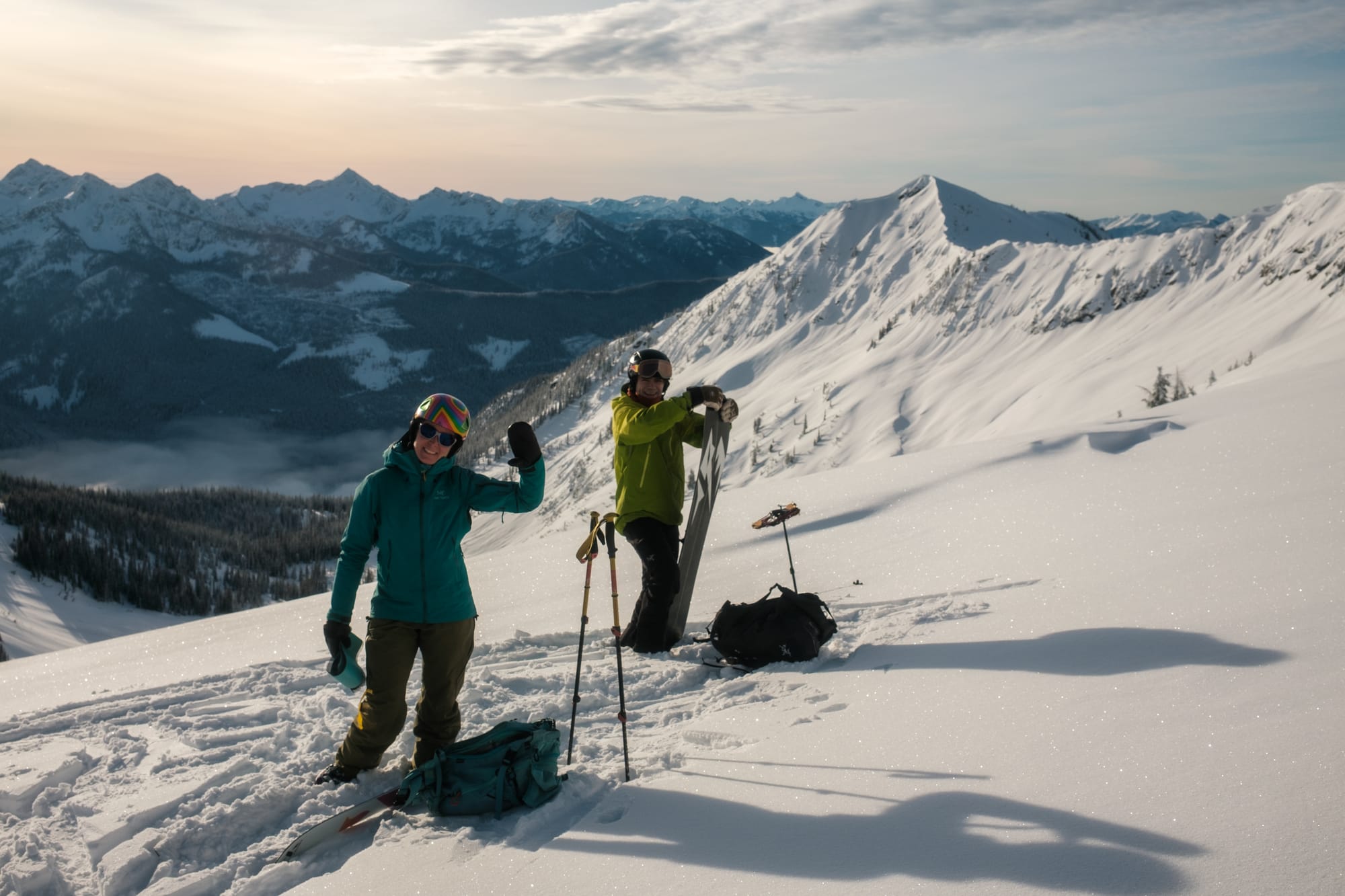
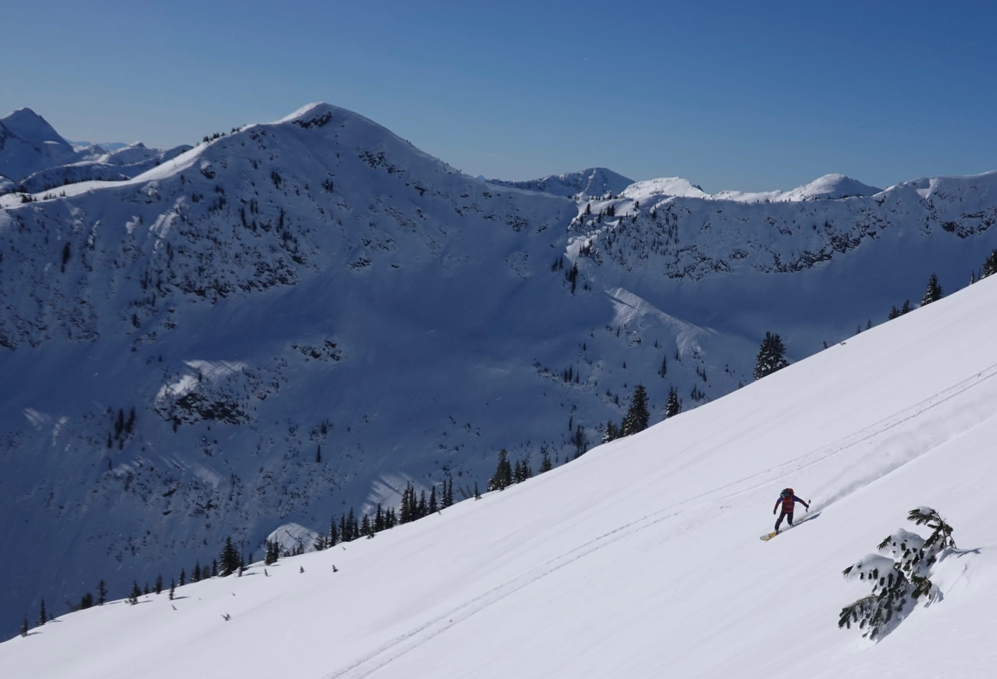
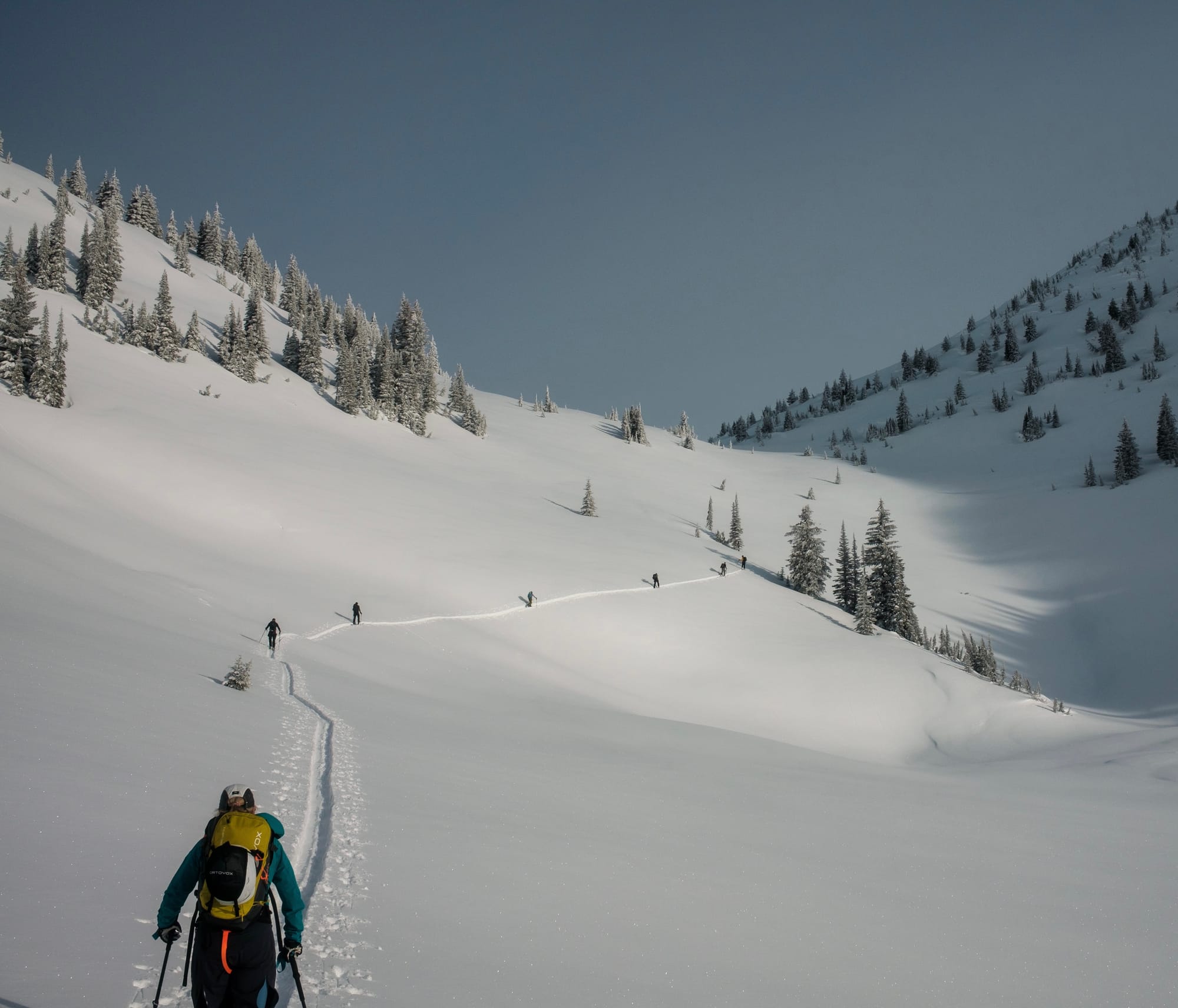
Come join Zenith at the Hilda Hut in January!
Where we’ve been skiing:
Not much :( A little bit around Squamish and an adventure down to Kulshan (Mt. Baker). Looking down from high on the volcano, it was apparent that the Cascades and Coq are very low, while further up the Coast Mountains looked a *little* better.
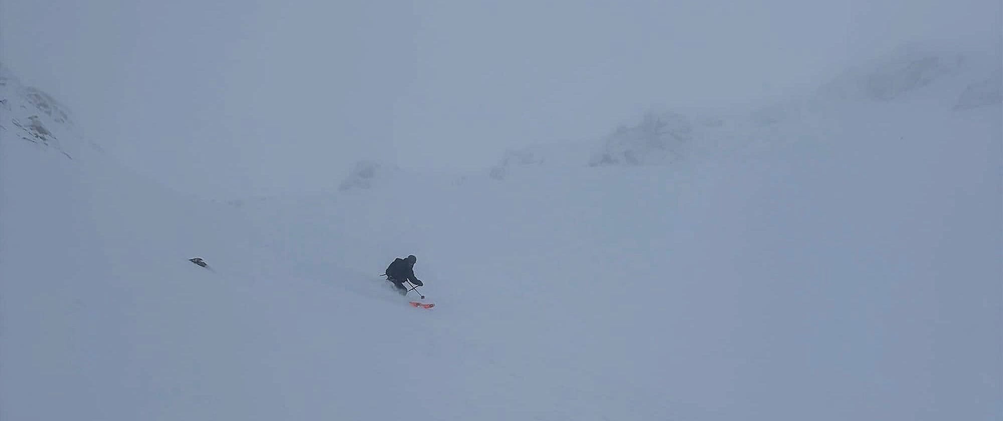
On Metal Dome this past Monday, we found slidable snow as we entered open meadows at 1600m. On Heliotrope Ridge, it was closer to 1750m where we switched to skis. The snowpack grows as you get higher but it’s still best to be on planar surfaces like meadows and glaciers.
We also took a nice walk up to the Red Heather hut and found just a few cm of snow on the ground at the hut. It appeared a few brave souls attempted to ski in the past day or two but we can confirm, coverage is insufficient!
What’s happened since the last update (weather & general snowpack structure):
The weekend was a tease with a decent amount of snow. 40cm, up to 70cm in some places way up high helped make things a lot more promising than last week. Sun during the week didn’t help (but did make for nice adventuring up high) and lots of mod-strong wind Monday-Wednesday really redistributed the snow.
In some areas, the snow has been stripped to boilerplate. Elsewhere we have a reasonably well settled snowpack with the old saturated snow (10-30cm) below and the new snow from the weekend above (40-70cm). Surface snow in sheltered areas is developing some significant surface hoar!
What’s the weather and avalanche forecast?
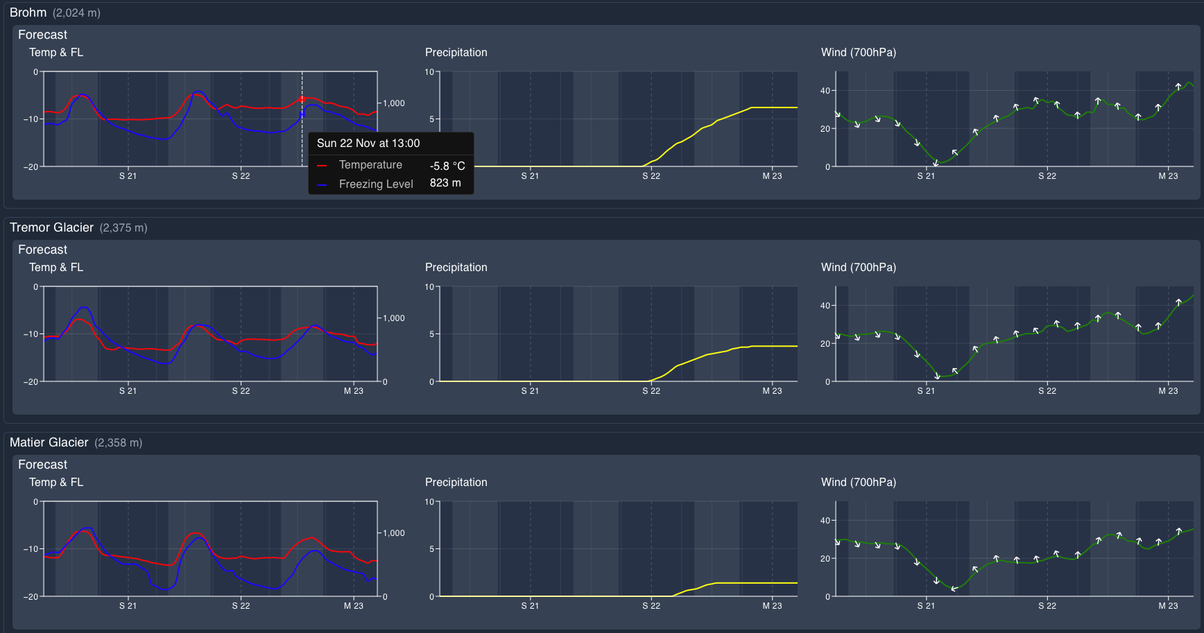
A ridge of high pressure will remain in place over the Sea to Sky region through early Saturday morning before a weak disturbance moves in Saturday evening, bringing a chance of flurries to the alpine. An upper-level low positioned offshore to the southwest of Vancouver Island will keep conditions generally cloudy on Sunday, with another chance of flurries over higher elevations. Looking ahead to next week, a strong jet stream will strengthen across the Pacific toward the BC coast, setting up a more active weather pattern. A series of frontal systems is expected to move through the region, bringing periods of precipitation, additional mountain snowfall, and potentially strong winds at times.
Wind Speeds:
- Friday: Northerly 10 gusting 30 km/h.
- Saturday: Southerly 20 gusting 40 km/h.
- Sunday: Southerly 20 gusting 40 km/h.
Sea to Sky Freezing Levels:
- Friday: 500m rising to near 1000m
- Saturday: 500 rising to near 1000m
- Sunday: 500 rising to near 1000m
Precipitation:
- Friday: Nil
- Saturday: Nil
- Sunday: Trace to 5cm by Sunday at 5 pm.along the coast. Trace to a few cm over northern sections of the S2S.
Windslabs built up in exposed locations and cornices are already looking surprisingly big! Avalanche risk is most concerning around ridge crests and in exposed locations, which could be a big issue near cliffs or crevasses. Avalanche Canada starts up forecasts soon!
What are my questions for the weekend?
- Dear god when will it snow more?
- Are wind slabs reactive in exposed locations? Pretty easy to avoid if you're looking carefully but still possible to be caught off guard.
What will I watch out for or avoid completely?
- I’ll be avoiding areas that have been wind stripped and frozen. We turned around at the base of the Roman Wall on Baker because it was stripped. I like quality skiing not skiing just for the sake of it.
- We’ll also be avoiding any pockets of windslab that could push me into terrain traps.
- Finally, we’ll be watching and avoiding rocky and non-planar terrain until we get some snow to fill it in!
Closing Thoughts:
Tough start to the season for us here. Fingers crossed things start to improve soon. It seems like it could be on the horizon in the long term forecast but we'll have to wait and see. In the meantime, get the gear all ready, come practice with your transceiver with us, and hang in there!
For more information, check out Zenith Mountain Guides and our local avalanche forecast. Weather forecasts are custom from meteorologist Jason Ross. These updates are supported by SkiUphill Squamish - the best stop for ski touring equipment in the Coast Mountains and made possible by the Sea to Sky Gondola! Use this information at your own risk. Conditions change rapidly from when this report was written!
Member discussion