Nov 21 - Sea to Sky Snow Conditions

Overall theme:
Impatiently waiting for winter to restart - and it will!
Where we’ve been skiing:
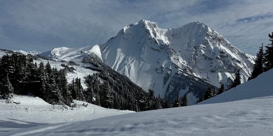
Alpine if you can get there! Brohm Ridge and reports from the Duffey
What’s happened since the last update (weather & general snowpack structure):
The beginning of the week just dowsed us with hot rain, way too high. There’s so many jokes to be made about how high, but the bottom line is you can find a good snoop dog meme about where the snow line was. We took a net loss on snowpack at the access elevations, and probably held steady or even gained some in the Alpine above 2000m. The problem is that weather made it harder to get there.
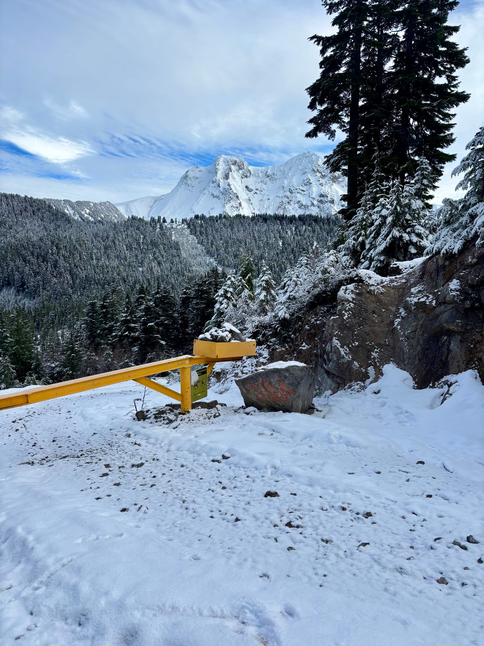
Most roads in the corridor melted out to about 1400m or higher. Between 1500m and 2000m, the snowpack has frozen in hard with a touch of dust on crusts - 5-15cms below 2000m. So the good news is that travel is fast and easy, and if it’s white, you can stay on top and not hit rocks even on a skimpy 60cm snowpack. The bad news is, there’s a bit of skis on/off to get to those elevation bands. With the way the forecast is shaping up for the weekend, if you really want to go skiing think easiest below-treeline access points that get you to open treeline meadows above 1500m. Its a tight band but the old surface will support you with maybe even 15cms plus by Saturday afternoon. Sunday’s weather really makes it seem like the dropping temps and continued precip will make it the better weekend day to get out, with Monday possibly being the best day in the short term.

The only real evidence of avalanche activity was the frozen in place wet debris from hot rain in the high country, but nothing too dramatic. That snowpack is ready for the Zamboni to make it smoother, which the hockey moms in squamish will be grateful for after how the ice rink has been going this year.
What’s the weather and avalanche forecast?
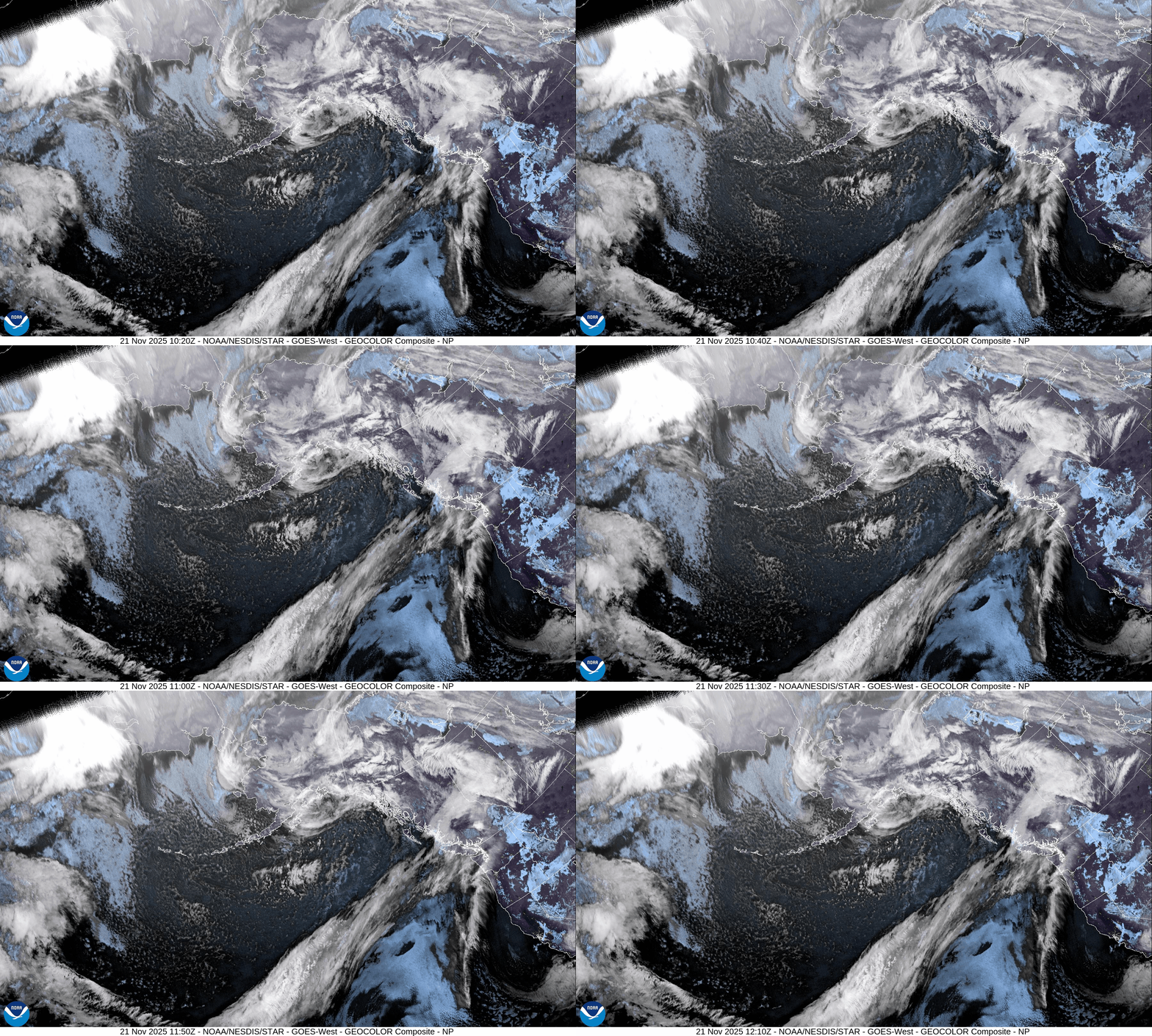
A developing frontal system will bring showers and flurries across the south coast on Friday. A stronger cold front will impact the S2S Saturday night into early Sunday, resulting in moderate to heavy precipitation, with rain anticipated for lower elevations below 1500m and snow for the alpine. Cooler and drier conditions are expected early next week as high pressure builds over the area.

Wind Speed:
- Friday: Southwest 40 gusting 80 km/h over the ridges.
- Saturday: Southwest 40 gusting 80 km/h over the ridges.
- Sunday: Southwest 30 gusting 50 Km/h over the ridges.
Freezing Levels:
- Friday: Near 1200m rising to 1500m.
- Saturday: 1500m rising to near 1700m.
- Sunday: Lowering to the valley Sunday PM with some potential clearing.
Precipitation: Storm totals of 40 to 60cm are possible with this storm over the high alpine.
- Friday: 5-10 cm by 5pm
- Saturday: 12-20 cm by 5am.
- Sunday: 10-20cm by 5am.
Long range is uncertain at this point but some models are leaning toward a colder temperature regime.
What are my questions for the weekend?
- Timing and intensity of the storms. Will there be enough new snow to create fresh slabs/storm slabs but late Saturday or Sunday? We have a frozen/smooth bed surface out there now and the last trickly of snow is cold and faceted on top of it. Something to keep an eye out for. Hopefully the storm comes in warm enough to eliminate that problem quickly.
What will I watch out for or avoid completely?
- Below treeline thrashing and obstacles in flat light. Elbows up - its full on die hard ski season out there, but a walk to some low angle schnoodling is probably still better than the one white ribbon of death that will be skiable at Blackcomb with you and a few thousand of your closest friends.
Closing Thoughts:
It’s that time of the year when we ask, no beg you to make your sacrifices to Ullr so Eric can be a well adjusted father to his girls. If it doesn’t snow, he will be really, really grumpy and we want those kids to be raised in a happy house.
For more information, check out Zenith Mountain Guides and our local avalanche forecast. Weather forecasts are custom from meteorologist Jason Ross. These updates are supported by SkiUphill Squamish - the best stop for ski touring equipment in the Coast Mountains and made possible by the Sea to Sky Gondola! Use this information at your own risk. Conditions change rapidly from when this report was written!

Member discussion