
Nov 7 - Sea to Sky Snow Conditions
Overall theme:
Base building time. Watching the sludge fill in the middle and upper elevations has been awesome.
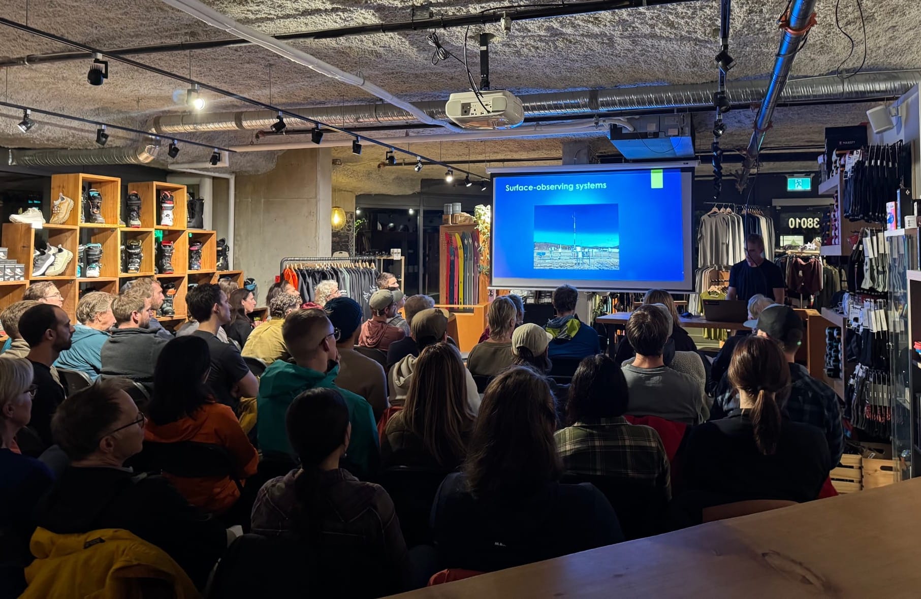
We had a great evening at SkiUphill last night for our pre-season weather talk with Jason Ross. Great turnout and really good questions! Stay tuned as we’ll be announcing our season opener party up at the Sea To Sky Gondola next week.
Where we’ve been skiing:
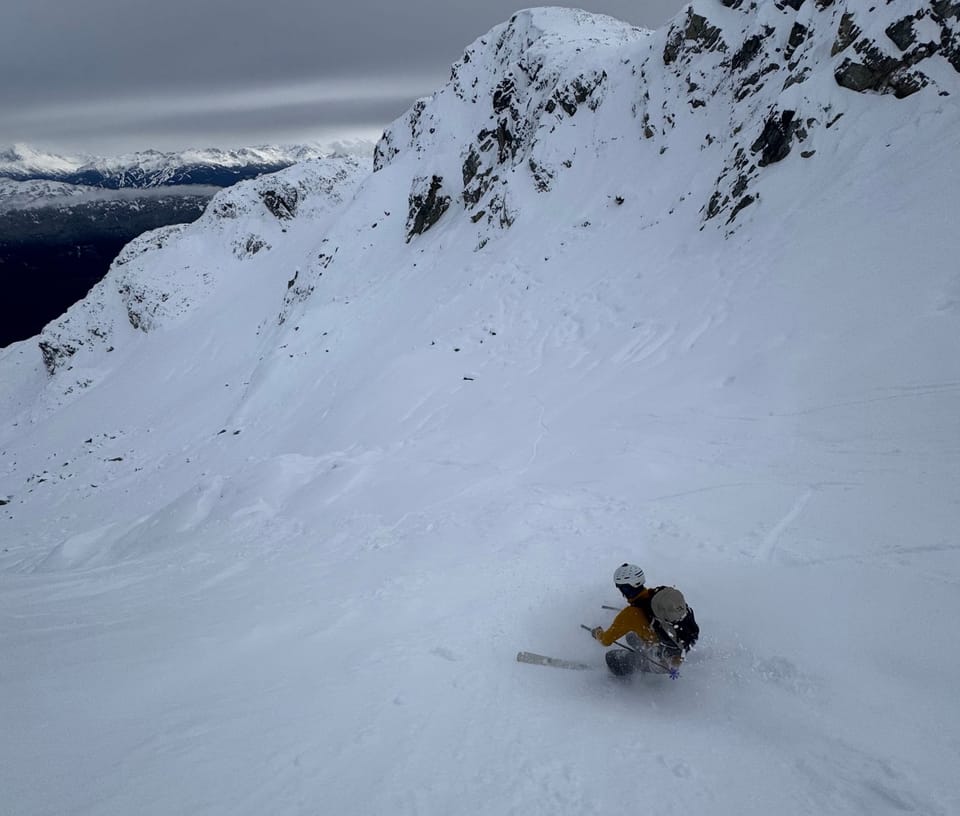
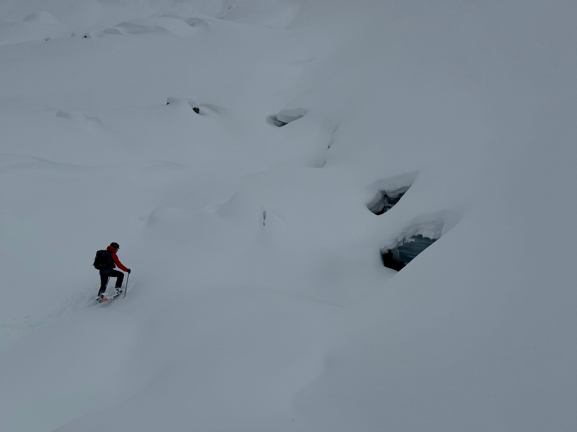
We’ve only had a few days again this week - all in the Squamish to Whistler corridor. In terms of access to skiable snow at that magic 1400m elevation, the logging roads around Squamish are pretty good. It’s also a balance of enough snow for skiing closer to the Coast and colder temps further inland. Once you’re up high, getting into features that hold snow is critical. The Metal Dome glacier, while still showing lots of open crevasses, had close to 1.5m of snow. Similar elevations on other aspects might be 50cm to bare depending on wind stripping!
What’s happened since the last update (weather & general snowpack structure):
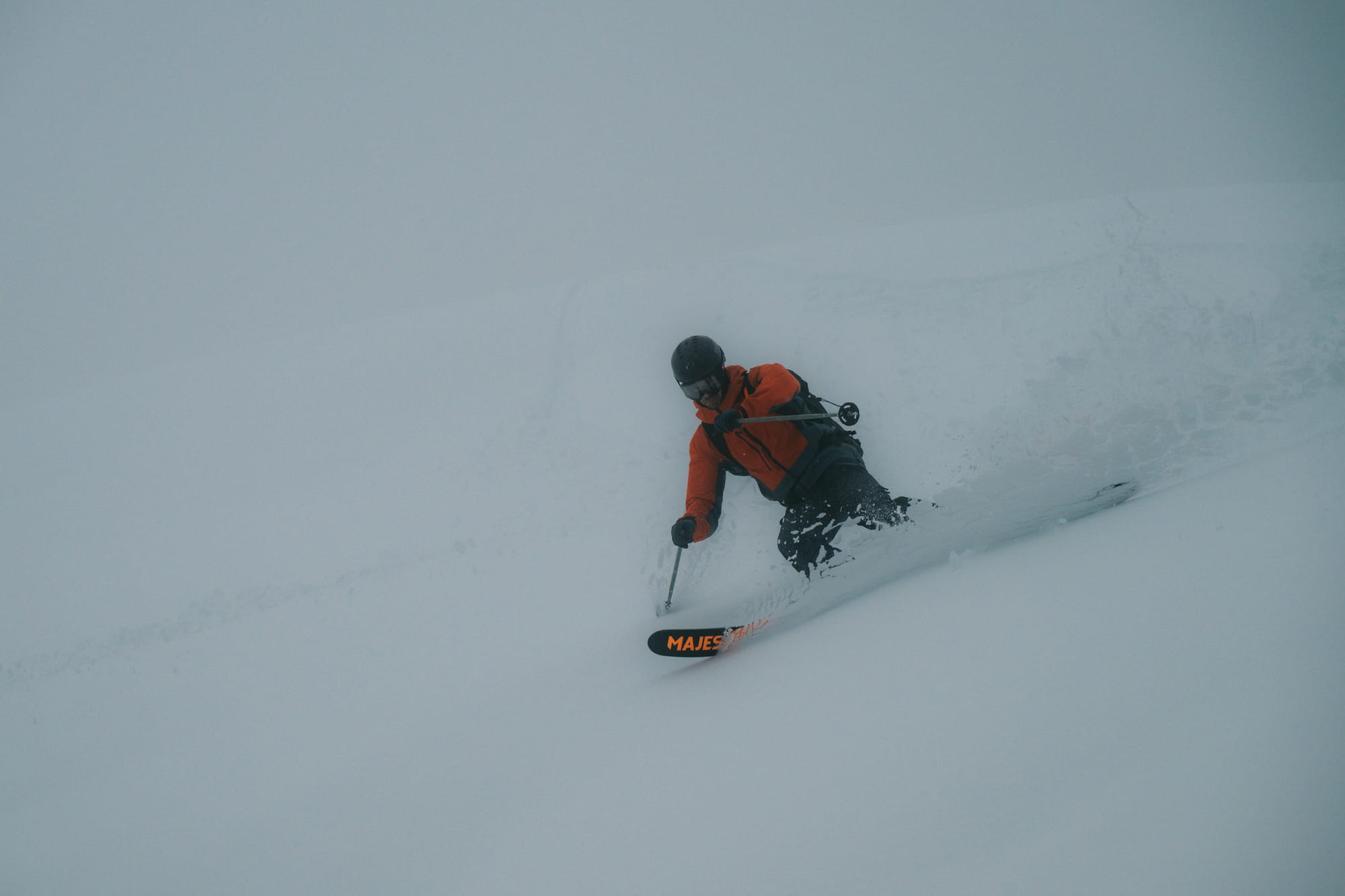
We came out of last weekend’s storm pretty psyched. Clear skies on the weekend meant a ton of people got out - several hundred reported in the Brandywine/Metal Dome area! There were several smaller windslabs triggered by riders and evidence of a larger natural avalanche cycle during the storm. Things warmed up on Wednesday with a big pulse of precip (~85mm at the S2SG) and FLs up to ridgetop. This still mostly fell as snow as low as the Roundhouse elevation - consider it alpine base building! There was evidence of large natural wet loose avalanches throughout the corridor at ALP elevations. Unfortunately the storm pushed our skiable snow line from ~1200m to closer to 1400m. Below 1600m has lost quite a bit of snowpack. On Thursday/Friday, the weather continues to be unsettled as the low keeps pushing moisture and moderate temps our way however we have cooled off slightly! We found a lovely surface of new cold snow on the mashed potatoes on Friday near Squamish; however from reports near Whistler, that refresh might not have happened further north.
What’s the weather and avalanche forecast?
A ridge of high pressure will develop over the south coast this weekend, bringing drier conditions, warm temperatures, and elevated freezing levels. Active weather will continue early next week with a system approaching the coast Sunday evening into Monday, accompanied by precipitation and lowering freezing levels.
- Friday - Light to moderate wind from the SW with FLs near 1500m and 16cm by Friday morning.
- Saturday - Light SW wind with FLs at 800m rising to nearly 3000m by evening and 3cm precip.
- Sunday - Strong SW wind with 3000+m FLs and nil precip.
Avalanche forecasts are not being prepared by Avalanche Canada yet but with the new snow falling on a bit of a melt-freeze crust from Thursday, there is potential for wind slabs to form and be reactive. With the freezing levels going to the moon on Saturday night, watch for wet loose avalanches!
What are my questions for the weekend?
- Will the freezing level get as high as forecast? Sure would be nice if it didn't...
- How much snow will we lose at our magic 1400m elevation? If it gets warm but doesn't rain, we may not lose all that much!
What will I watch out for or avoid completely?
- Any solar aspects on Sunday! The rapid warming will be a problem and it might be a good day to be going for a trail run in the valley.
Closing Thoughts:
The season continues to pick up. If you’re feeling a bit depressed about the warm temps, just keep in mind that the snow has been STACKING up above 1800m. This is going to be an excellent alpine base and will be sludging in our high glaciers and big faces. It’s a good start for sure. Ski conservatively with the shallow base at TL elevations and don’t go too crazy if it gets hot!
For more information, check out Zenith Mountain Guides and our local avalanche forecast. Weather forecasts are custom from meteorologist Jason Ross. These updates are supported by SkiUphill Squamish - the best stop for ski touring equipment in the Coast Mountains and made possible by the Sea to Sky Gondola! Use this information at your own risk. Conditions change rapidly from when this report was written!
Member discussion