
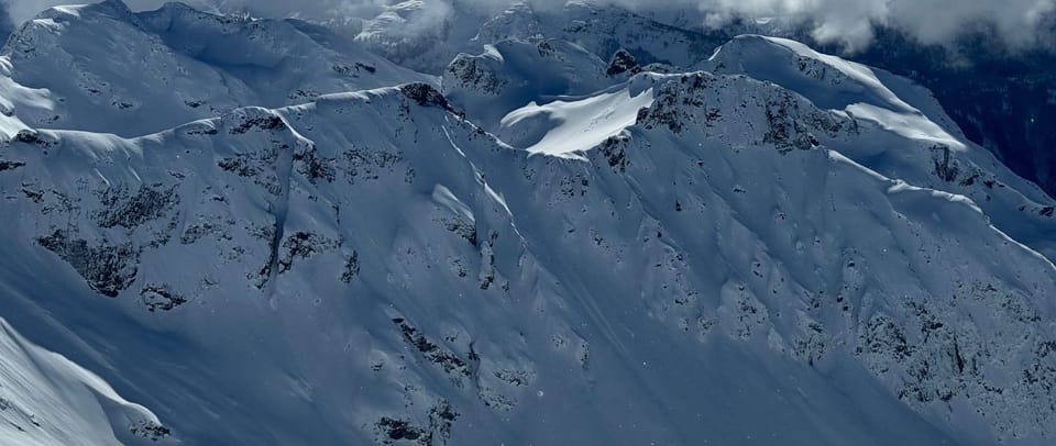
Weather Update and Snowpack Discussion!
We forgot to include our upcoming snowpack discussion night in the last newsletter! Join us the evening of Mar 19th at SkiUphill! We'll be recapping the last few weeks of skiing and plotting our next moves for post-atmospheric river...
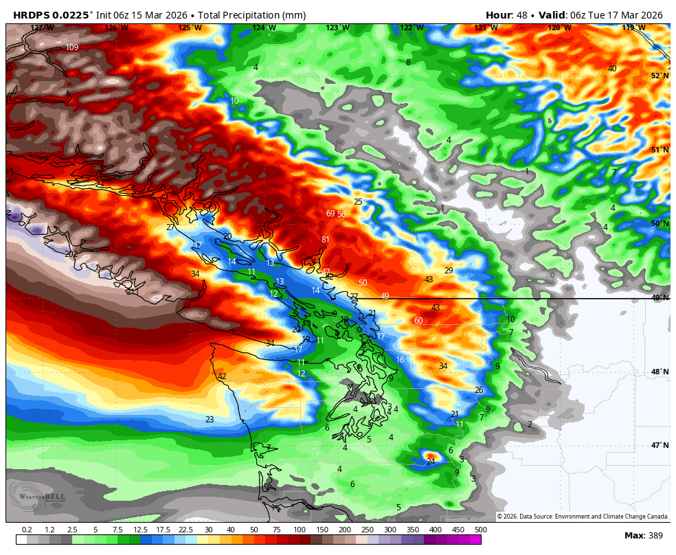
Speaking of atmospheric rivers, it's looking like it will be kind of a rugged week. We checked in with meteorologist Jason Ross and here's what he's got to say:

A strong warm front with an associated atmospheric river is expected to impact the Coast late Sunday into Monday, persisting over the region until Wednesday, and resulting in a prolonged period of heavy precipitation. For the Sea to Sky alpine, the precipitation will commence as snow Sunday, with the freezing level rising to approximately 1000m by Sunday afternoon, lowering to near 600m by Sunday evening. Snowfall accumulations of 15-30 cm are possible by Monday morning.
As warm air advances, freezing levels will rise to 2000m to 2500m by Monday afternoon and evening, accompanied by waves of moderate to heavy rain and very strong winds over the high alpine. Projected rainfall totals will range from 100 to 150 mm by Wednesday morning in Howe Sound area, 50 to 75 mm for the Whistler area, and 40 to 50 mm for the Pemberton.
In short - it's going to be a good week for catching up on office work and all that other stuff we've been neglecting the past few weeks. You'll find us drowning our sorrows at the climbing gym... Before long though, we'll be back at it for spring skiing so take care of all that life stuff now!
Member discussion