
April 10 - Sea to Sky Snow Conditions
Overall Theme:
Wild spring weather continues. Over the past weekend we had good stability with rising freezing levels. That switched back to an active pattern early in the week. As of writing a pretty strong front has blown the sensors to the interior. Before being blown away, Whistler hit 180kmh max gust! With this was some warm rain to 1800m. In its wake will be a sharp cold front for some stable weather, seasonable temps and a touch of right side up soft snow. Just be aware that above 2000-2200m it has stayed winter big time, so expect a more complicated snowpack for a few days post-front on the big peaks.
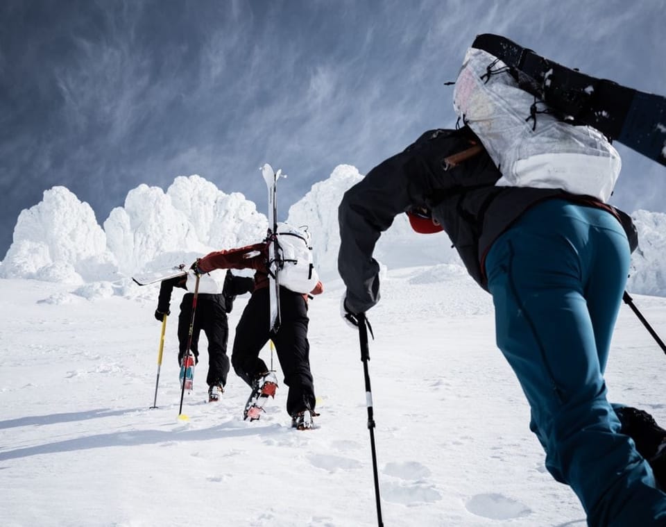
Where we’ve been skiing:
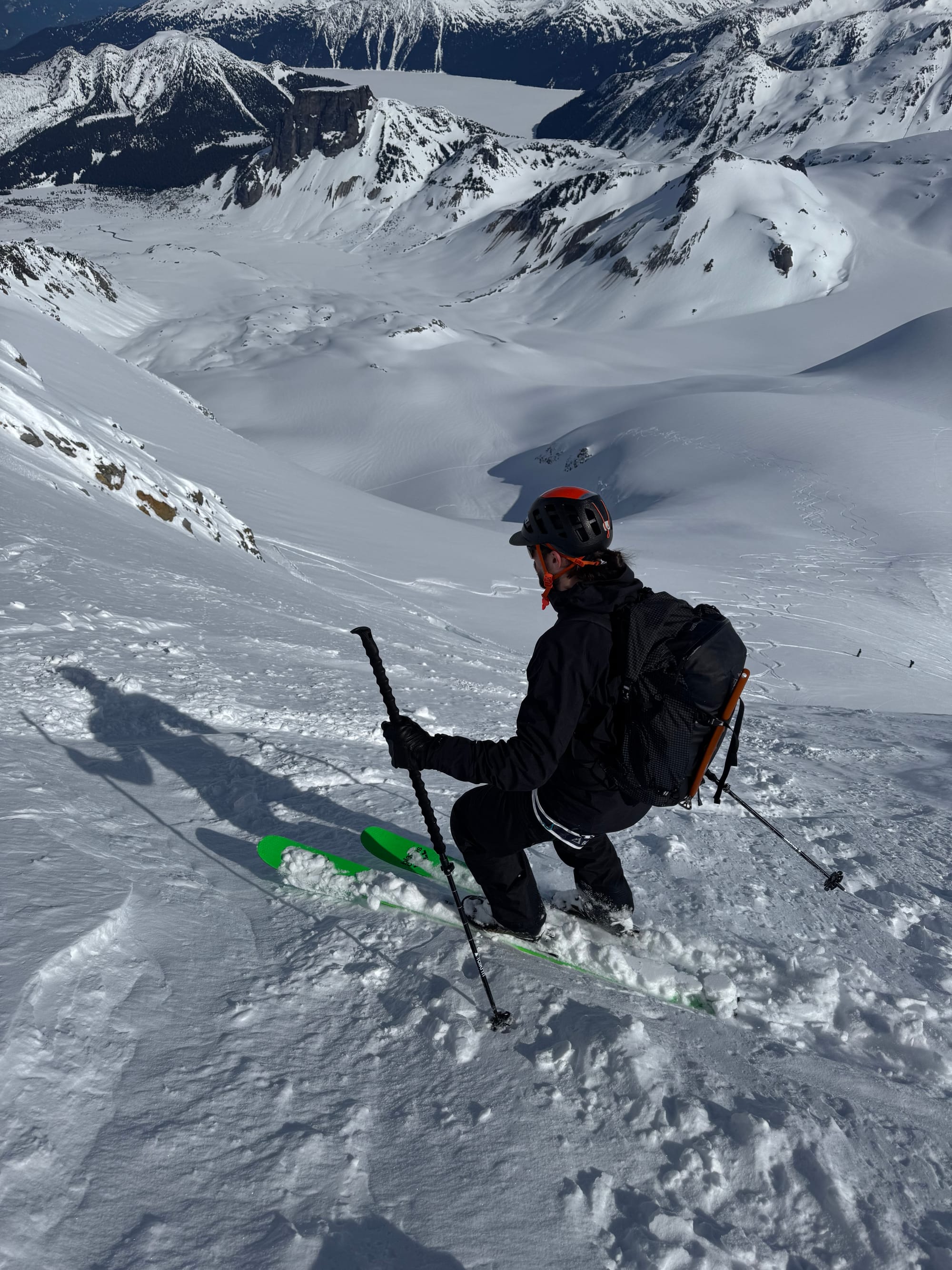
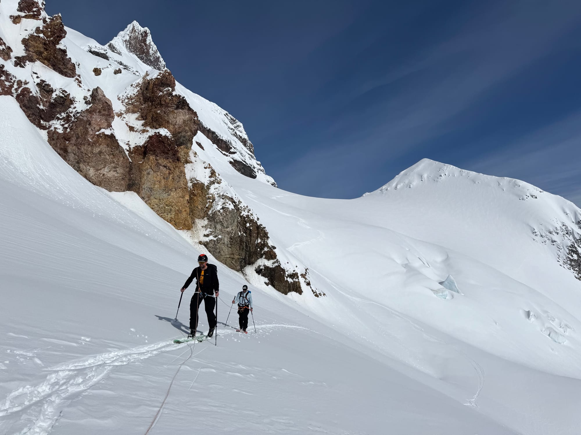
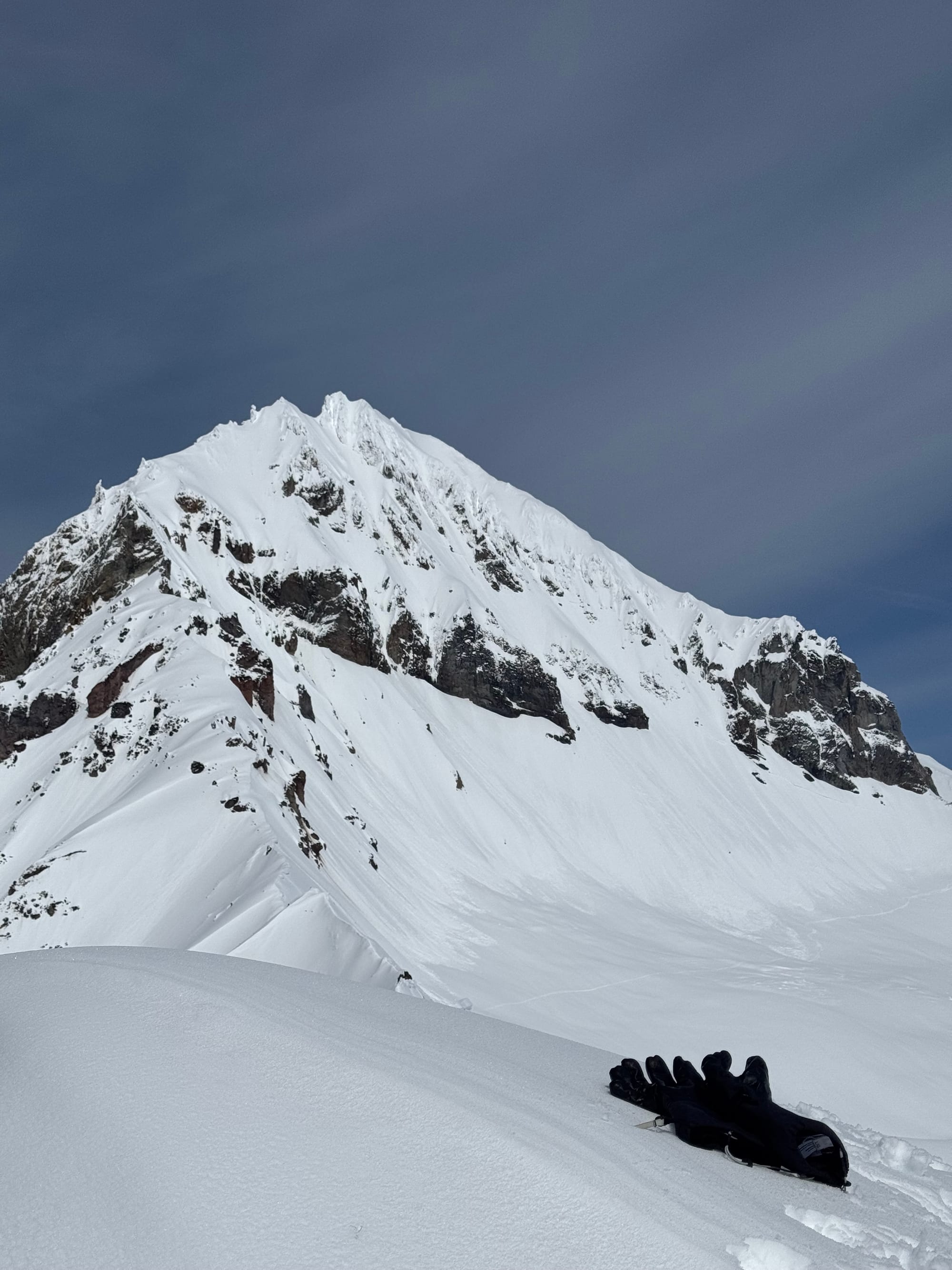
Squamish, Duffey, and Blackcomb Backcountry. Eric has been volcano smashing and even tagged Wy’east down south, using his US passport to cross the border safely ;) But basically alpine as much as possible. Below treeline is isothermal garbage and melting out. Treeline has its moments, but not for long.
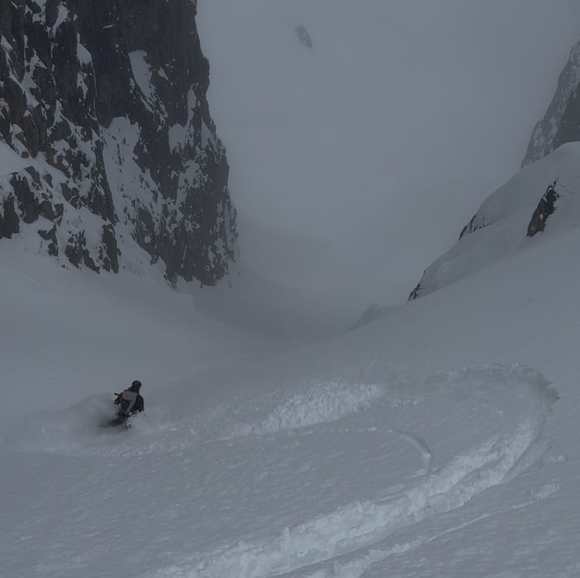
As an aside, here’s a little trip report from an interesting day we had out on Saturday. With a strong couple of guests, we skied pow on the NE Face of Nch’Kay (Mt. Garibaldi), followed by wrapping around Atwell to reach Little Diamond Head where we skied the big south face corn run before heading out via Red Heather. With a drop on Brohm Ridge, this was a 1500m+ gain day with 2500m- of descent! Defintiely the much more enjoyable way to traverse the Neve! If this sounds up your alley, make sure to send us a message.
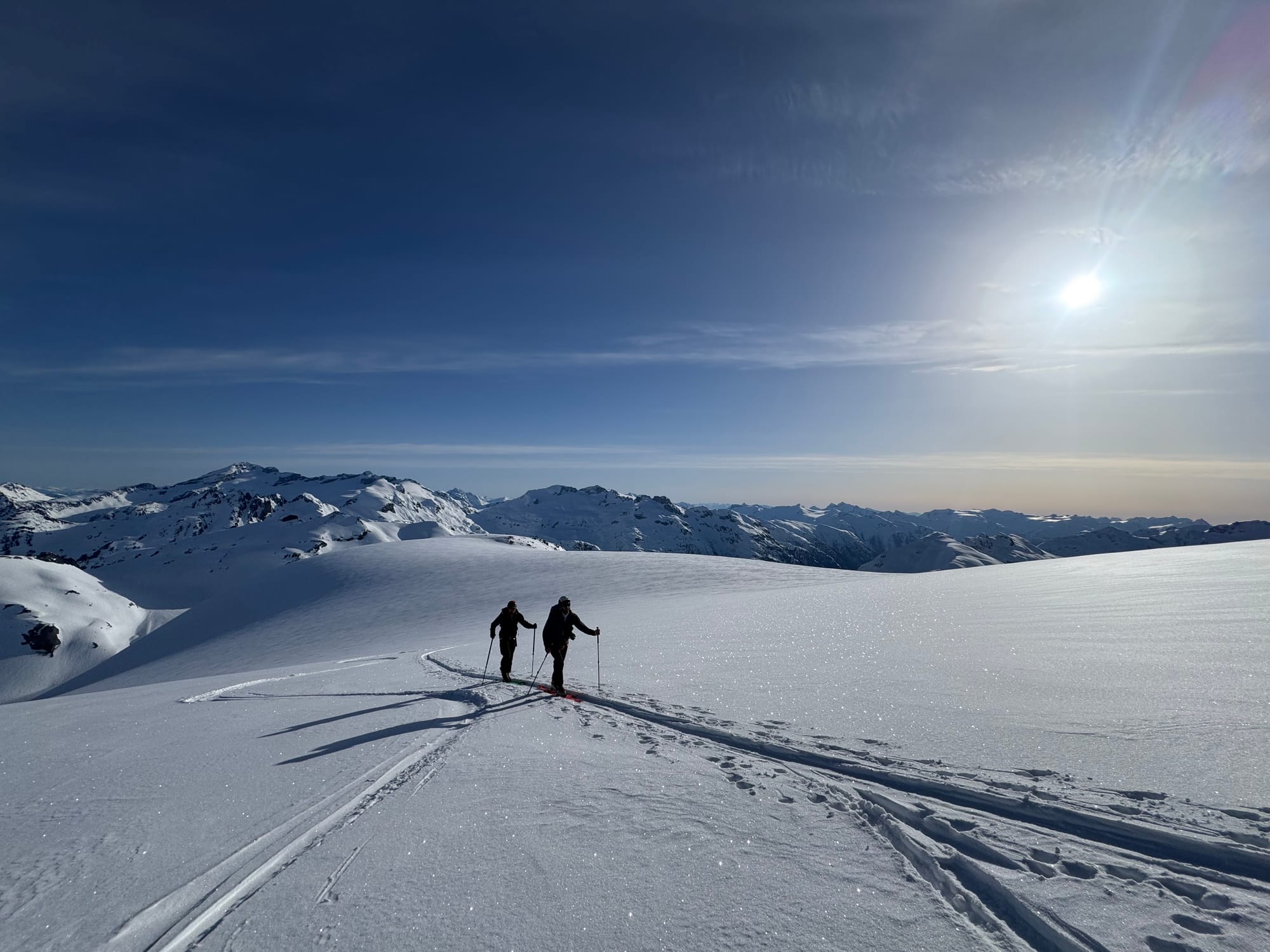
Net Negative Neve Traverse - checking out all the spectacular terrain around Nch’Kay!
What’s happened since the last update:
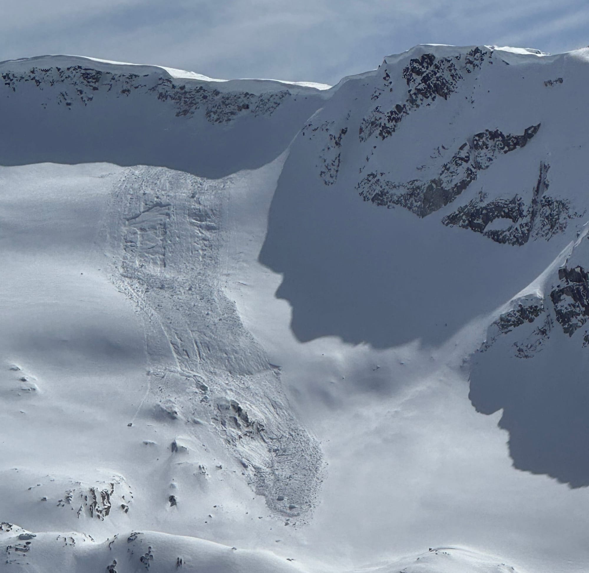
We were in a steady stream of alpine resets with unsettled, convective spring weather. Suncrusts on solars quickly covered by 5-15cms resets up high. Classic direct action storm and wind slabs to size 2 as well as lots of big cornice breaks to size 2-2.5 with clearing periods. Wet loose at treeline and below was common with the warm temps and rain/snow slop at that elevation. Small wind slabs at treeline and alpine locations were common as well. The warmer temperatures of spring and the come in warm, finish cold nature of this weather pattern means things tend to settle fast, but its easy to get surprised by jumping in too soon. As of Wednesday PM locations above 2000m were acting like winter with up to 60cms of new snow sitting on the Mar 27 melt freeze crust. This tapered quickly as you descend in elevation. Thursday’s front was really warm and reall really windy, so be prepared for some lingering wind slabs into the weekend.
It feels like we can work from the old adage that used to dominate the coastal mentality - give the snowpack 24 hours to settle after the storm clears. However, the angst of getting after it before someone else does these days seems to dominate peoples decision making mentality…so choose wisely! It looks to be staying nice for a few days meaning you can wait a day or two to nab that sweet high north facing line.
What’s the weather and avalanche forecast?
An upper trough will linger over the area with a chance of showers or flurries mainly over higher terrain through Saturday. A ridge of high pressure will build into the south coast by the end of the weekend with warming temperatures, rising freezing levels and dry conditions expected to last into next week.
Weather overview:
- Friday: Moderate easing to light Southwesterly winds with freezing levels at 1000m rising to near 1500m and trace to 3cm precipitation.
- Saturday: Light Northwesterly wind, FL 800m to 1500m, nil precip.
- Sunday: Light Northwesterly wind, FL 800 to 2000m, nil precip.
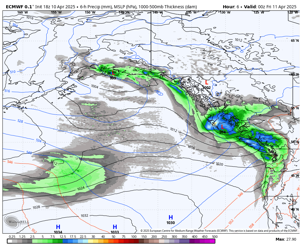
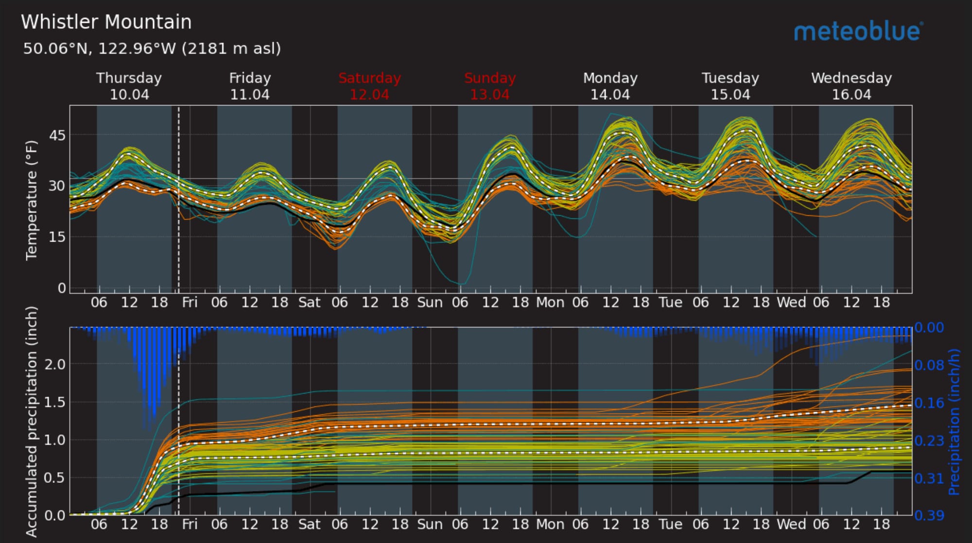
ECMWF Model showing the ridge of a high pressure building this weekend (L). Meteoblue Multimodel forecast for Whistler (R).
At the moment, the avalanche hazard is rated at Considerable in the alpine and Moderate below. That is primarily a result of the new precip and strong winds creating wind slabs. Expect this to settle quickly - hazard drops to 211 on Saturday - but for some slabs to remain, especially up high.
What are my questions for the weekend?
- How much new snow will fall Thursday after the front passes?
- What elevations will the ski quality be good at?
- How will the windslabs be for Friday and Saturday?
Closing Thoughts:
The season is waning but alpine conditions are in the winter to spring transition. Watch out for those cornices and step out cautiously in the next 24-48 hours with anticipation of things really starting to set up for the weekend. Just remember when the sun pops the temps will spike and the alpine snowpack will react to the intense heat after being cold and snowy for the last week or two.
For more information, check out Zenith Mountain Guides and our local avalanche forecast. Weather forecasts are custom from meteorologist Jason Ross. These updates are supported by SkiUphill Squamish - the best stop for ski touring equipment in the Coast Mountains and made possible by the Sea to Sky Gondola! Use this information at your own risk. Conditions change rapidly from when this report was written!
Member discussion