
April 16 - Sea to Sky Snow Conditions
Overall theme:
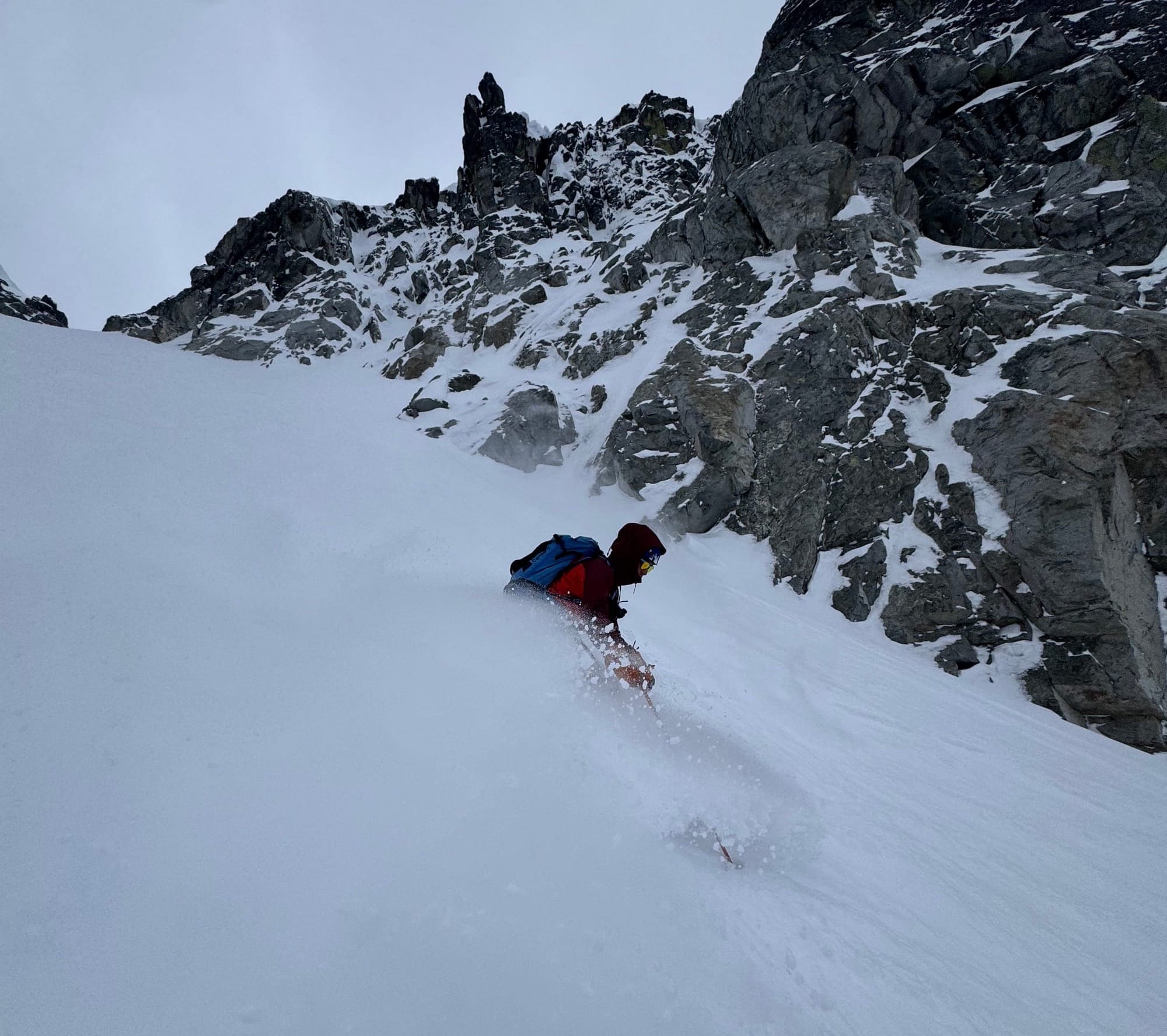
Spring storms bring touchy times. Lots of avalanches in the past couple days but also some awesome skiing to be found!
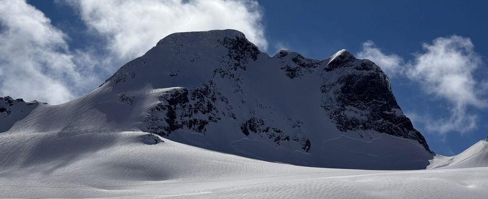
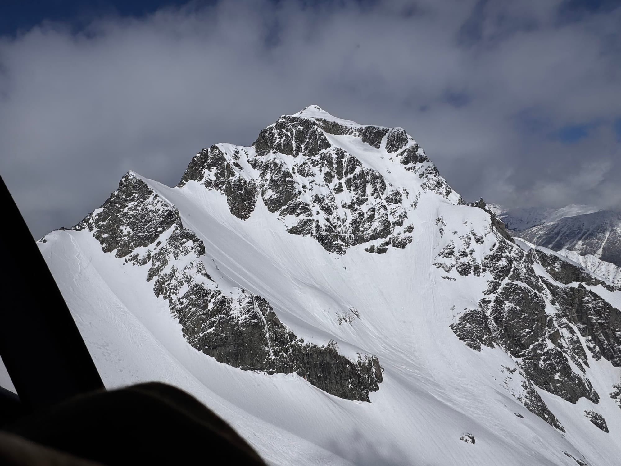
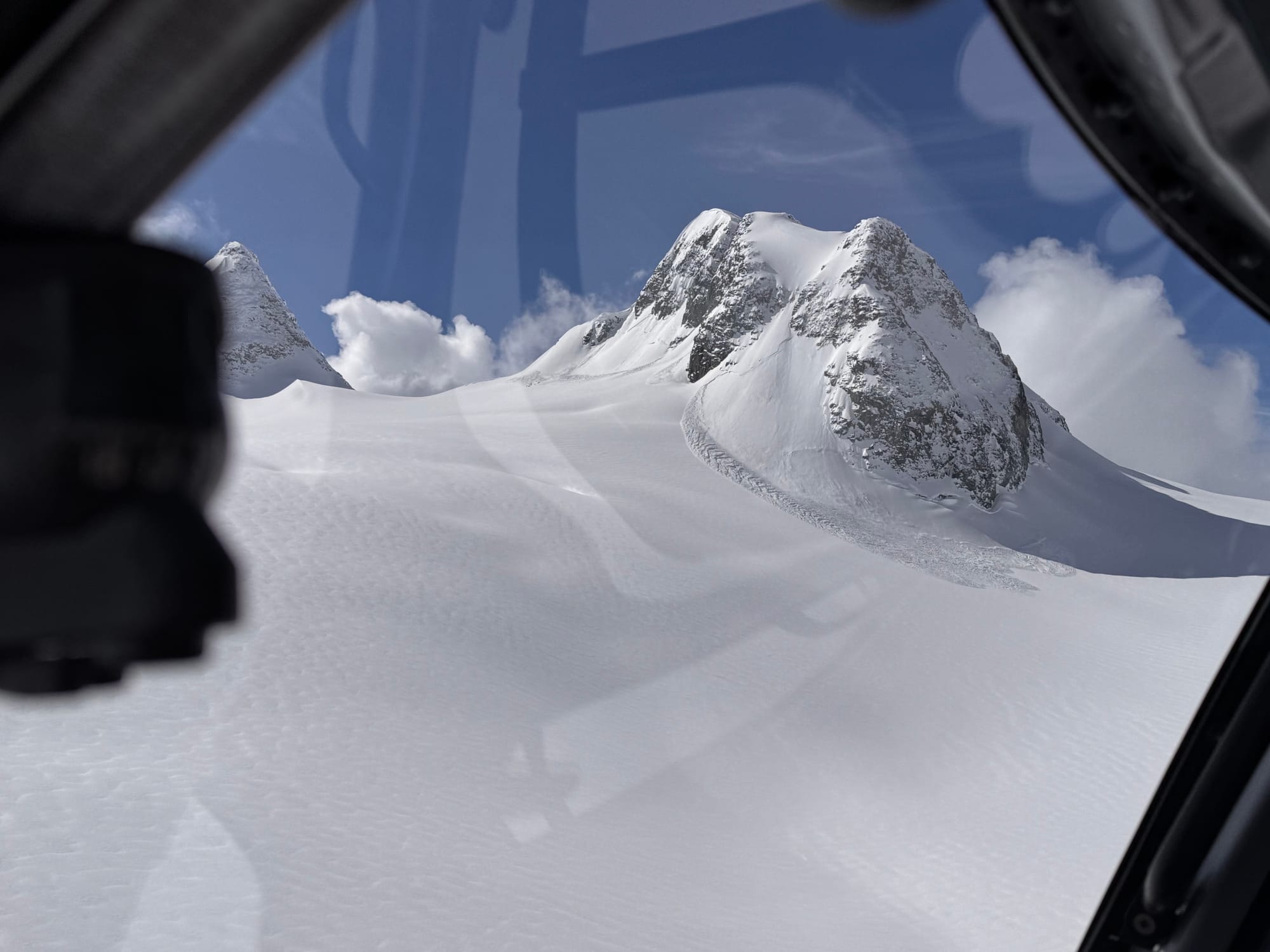
Where we’ve been skiing:
Duffey, Tantalus, Rutherford Ranges, Pemberton Ice Cap, Callaghan, Blackcomb…everywhere!
What’s happened since the last update (weather & general snowpack structure):
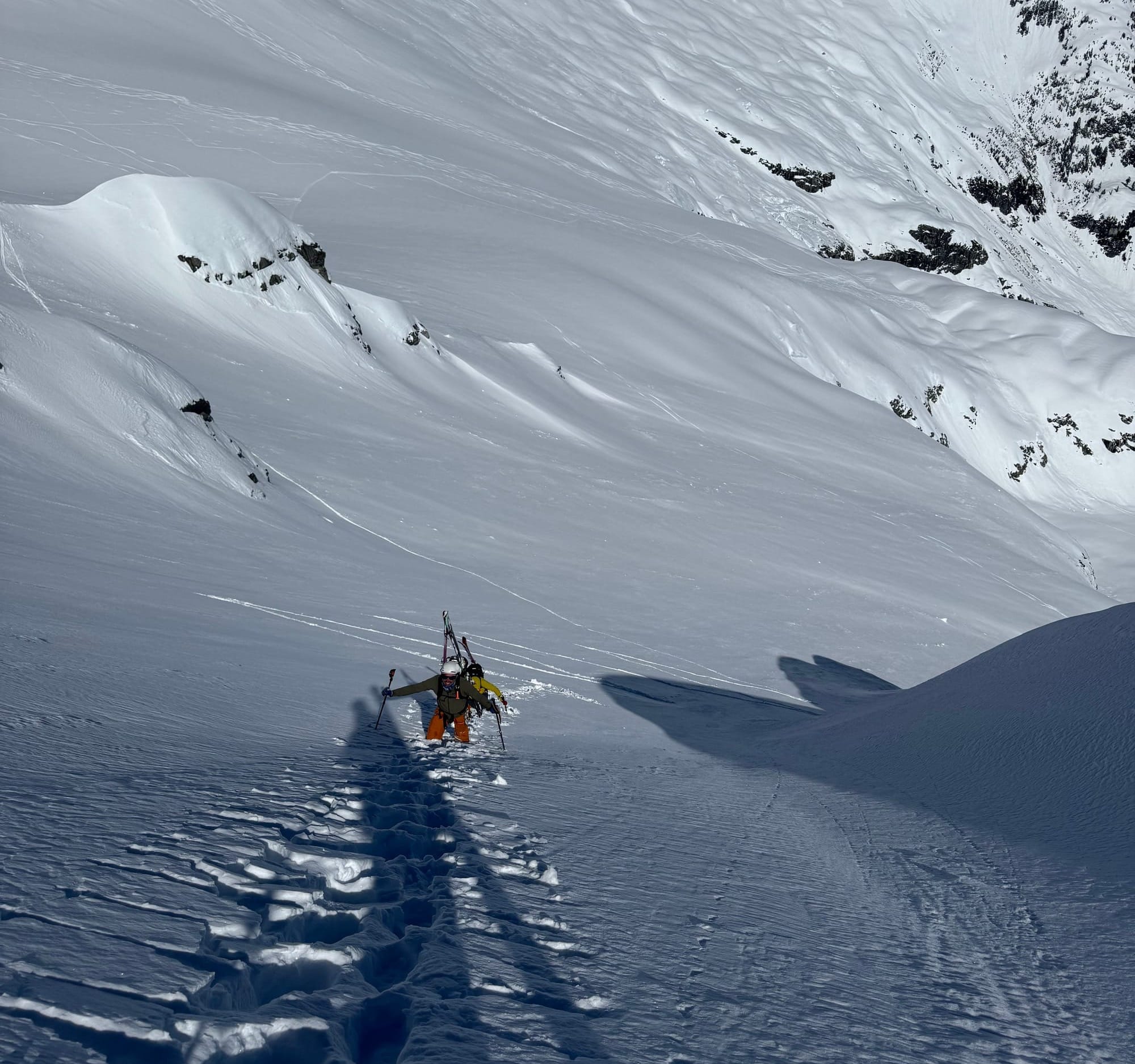
This time last week it was full spring diurnal (cold nights, warm days) with some warm rain about to strike. The surface snow was almost all melt-freeze crust everywhere. Then it got warm way high with rain followed by a cold winter storm. Hopes were high for a nice reset with right side up glued on snow conditions but it didn’t pan out. Instead, what ensued was one of the touchiest human triggered avalanche cycles of the season. It snowed 20-40cms through the corridor with no real big winners or losers. We skied 30+ close to the ocean, and 30cms deep on the Duffey dry side. This was accompanied by strong winds and tons of graupel at the frontal passage. It finished off with some calmer winds and -10 to -15 temps that did set things ‘right side up’. But the winds and storm totals weren’t enough for a glued on set up or a significant avalanche cycle during the storm. What came next was a slew of human triggered avalanches up to size 2.5 from Brandywine up to the deep Duffey. It also did not settle out on Thursday, as slabs were still popping out.
The best strategy is to use terrain to our advantage to stay out of trouble. We recognized the big gap in obs, and started out slow to gain some confidence in the snowpack after the storm. As of Thursday, we have slabs settling rapidly but still biting folks who push a little too hard. These slabs don’t actually even feel super concerning on their own but when combined with the poor bond to the crust underneath, it’s an issue!
Avalanche activity in the corridor?
Probably the most human triggered avalanches of the season! Skiers, snowboarders, couloir bootpackers, sleds, cornices. You name it. Everyone that wanted to trigger an avalanche was able to do so. Here’s a few photos of the significant ones.
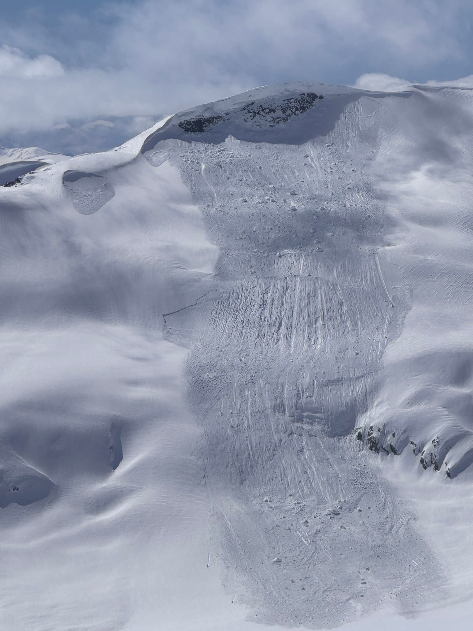
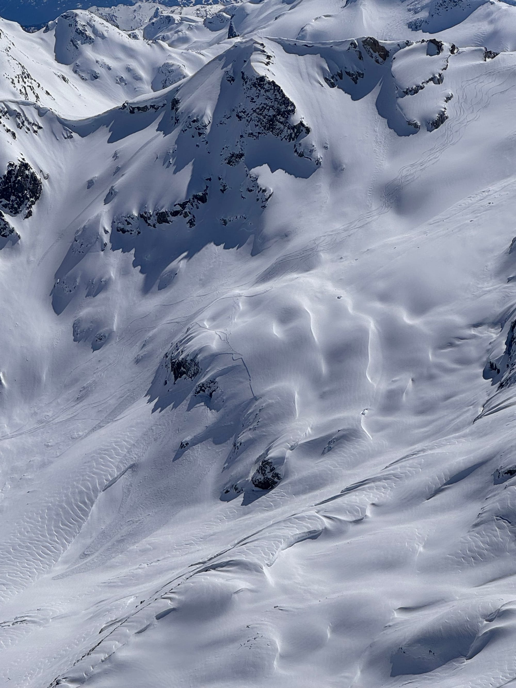
Some healthy avalanches - a cornice fall and a Sa from the Rutherford and then a Sa and natural slab in the Joffre area.
What’s the weather and avalanche forecast?
A ridge of high pressure will strengthen over the south coast on Friday through Saturday, with a warming trend anticipated. An upper-level low will track southward along the coastal waters, resulting in increasing cloudiness and a slight chance of precipitation on Saturday evening into early Sunday morning. High pressure will rebuild on Sunday afternoon with drier conditions. A notable warm-up is forecast early next week, with temperatures expected to reach 23-25 degrees by Monday and the freezing level increasing to 2500m.
Wind Speed:
- Friday: Southwesterly 15 gusting 30km/h.
- Saturday: Southwesterly 20 gusting 50 km/h.
- Sunday: Southwesterly 30 gusting 60 km/h.
Sea to Sky Freezing Levels:
- Friday: 700m rising to near 1800m
- Saturday: 1000m rising to near 2000m near Whistler, 1500 rising to near 2000m along the coast @Sky Pilot, and Brohm Ridge.
- Sunday: 2000m rising to near 2500m
Precipitation:
- Friday: Nil
- Saturday: Nil
- Sunday: Trace to 2 mm
Avalanche hazard dropped from considerable in the alpine down to moderate but we’re feeling like it’s a bit of a scary moderate. Wind slab avalanches might not be huge monsters but they’re big enough. There have been some size 2.5s - plenty to bury a person. Plenty to push a team down a slope or a couloir. There have also been many smaller avalanches that could still ruin your day on a committing line! Keep that wind slab problem in the back of your mind. Feel the crust underfoot. Remember that if you find it transitioning from good snow to something slabbier, that crust just isn’t going to be holding onto it very well!
What are my questions for the weekend?
- When will this slab settle out? It stayed tricky on day two post-storm. We’ll keep respecting this slab for now. It’s tricky to assess the bond and where exactly it has formed as slab.
- When will it really warm up and start to corn up the solars? The weekend looks ok, but next week looks and tastes like climbing season…
- Will the northerlies stay cold and dry? So far so good! At least hopeful through Saturday.
What will I watch out for or avoid completely?
- Most unsupported and convex slopes that haven’t slid have us suspicious right now. Every piece of terrain that we want to push it in will be treated as suspect with lots of hand shears and test pits to figure this one out.
- Weird aspects east and west - due south is already pretty baked down but those off-aspects that picked up the new snow but now are getting sun are showing some more avalanche activity.
Closing Thoughts:
This wasn’t a typical spring storm cycle. So it's not going to gain our trust quickly. Lots of great skiing to be had out there, so stay out of trouble, tread lightly and have lots of back up plans to shift if you don’t like what you see!
For more information, check out Zenith Mountain Guides and our local avalanche forecast. Weather forecasts are custom from meteorologist Jason Ross. These updates are supported by SkiUphill Squamish - the best stop for ski touring equipment in the Coast Mountains and made possible by the Sea to Sky Gondola! Use this information at your own risk. Conditions change rapidly from when this report was written!
Member discussion