
Crevasse Rescue and Weather Discussion!
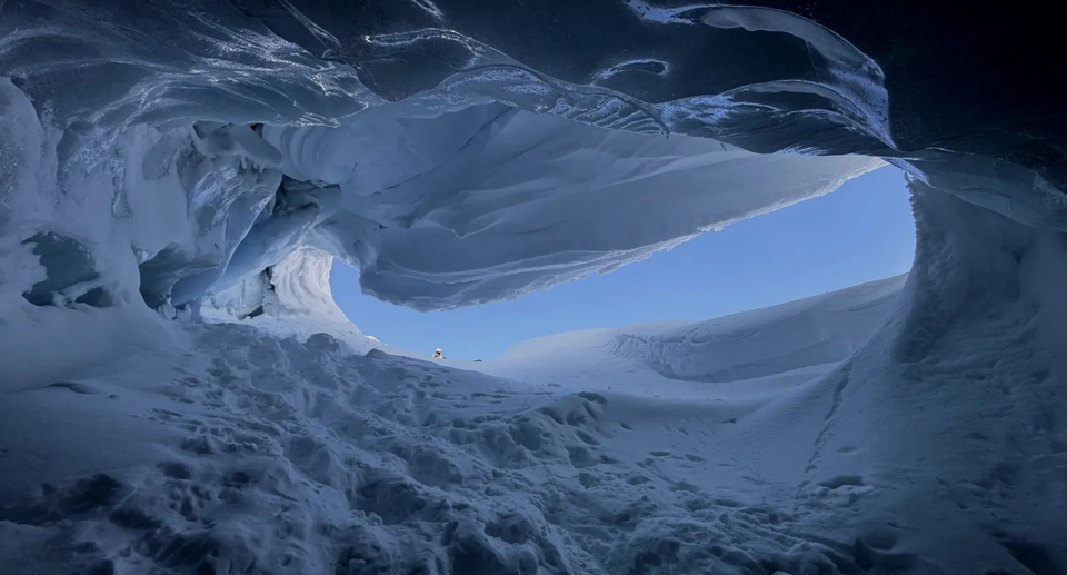
Three fun things to share this week! A crevasse rescue refresher while we wait for the snow to fly. A deep dive into weather forecasting with meteorologist Jason Ross. And a highlight about one of our favourite weather resources - AlpineConditions.com. Read on!
Crevasse Rescue Skills Refresher:
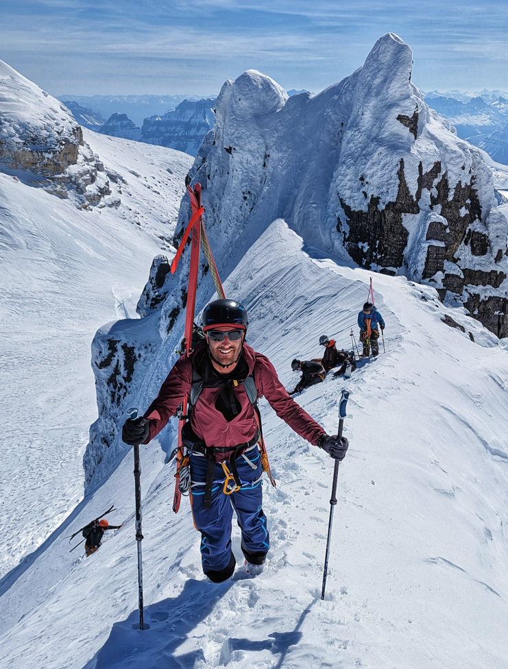
The weather looks a bit crap this weekend so come join for a crevasse rescue skills refresher. One day to dial in all those knots and rope systems that get a bit rusty so when you head out in the snow you're not scrambling to remember. We'll also have the chance to test out some of the sweet tiny gadgets for skinny ropes so it's a great chance if you're thinking of adding to your kit. This is dryland practice so we don't need to faff around getting out to the field, we can focus in on the ropework. Get your questions in now!
Courses on Oct 25th and November 8th and only $150 for the day!
Backcountry Knowledge Series - Weather Forecasting Deep Dive:
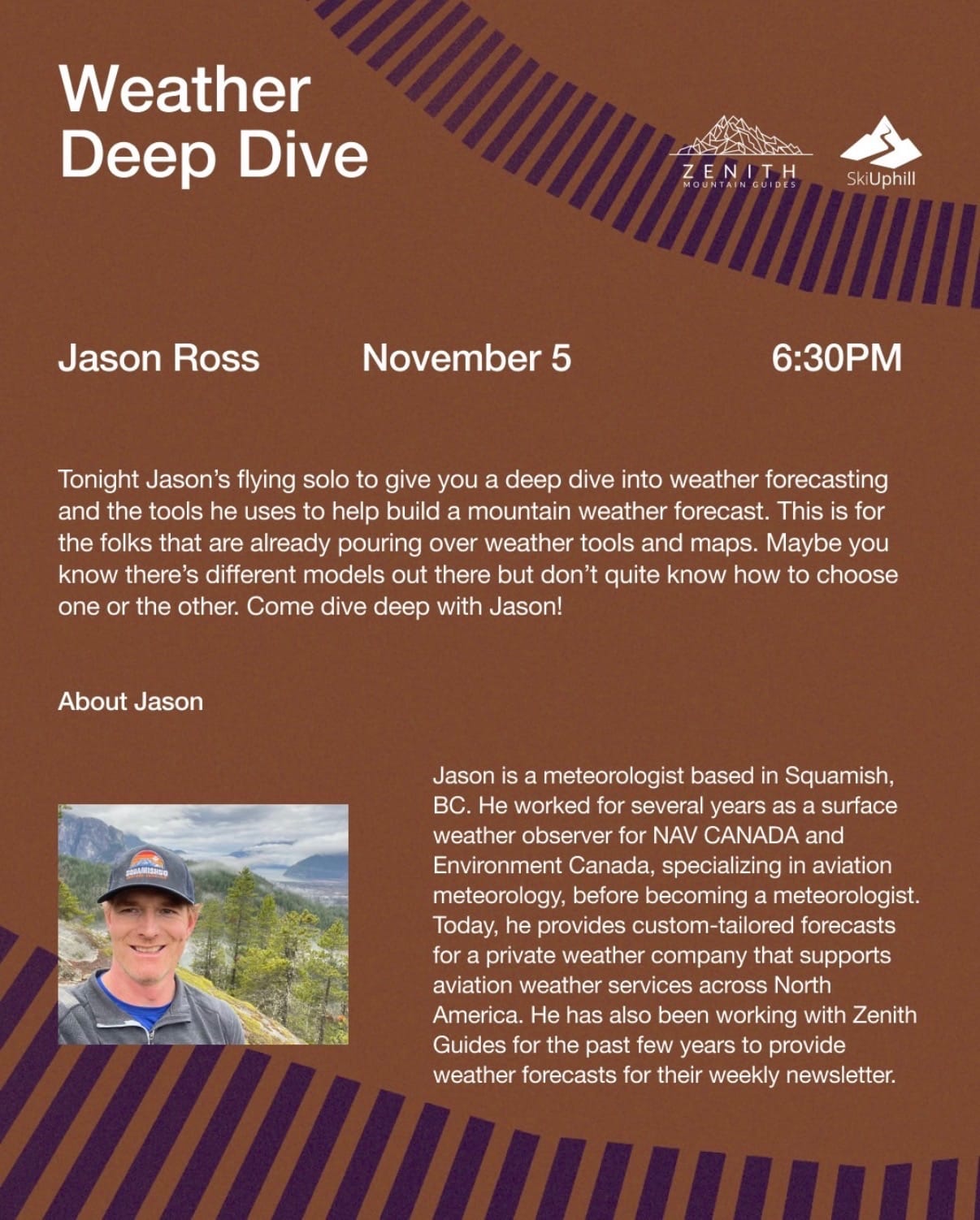
The second night of our Knowledge Series is coming up on November 5th. This is for the weather nerds. Jason Ross is our Zenith meteorologist and he will be going through his process for building a forecast. He'll cover all those models that we don't really understand the difference between and set you up for better choices this winter!
Interview with Colin from AlpineConditions.com:
Finally, the meat of this week's newsletter we talked with Colin about his awesome weather website. These are some tips direct from the source on how best to do your daily forecast flow.
At Zenith, we spend a LOT of time looking at weather forecasts. We use a bunch of different tools that are public, and ones that require subscriptions. Last season, we were introduced to a new source - alpineconditions.com. At first glance, it feels pretty simple. No flashy graphics and minimal images. After tinkering with it, we realized it’s one of the best tools we have. Even better, its creator, Colin Noakes, is a Squamish local and regular at our snowpack events! We reached out to Colin to get some pointers on how to get the most out of the page for your own personal weather forecasting. [Note - there’s no partnership between Zenith and Colin. We just think it’s a useful tool and want to share!]
First up - when you’re doing a quick look, Colin says to use your phone and keep it simple. It should be set to a two or four-day outlook. This keeps it visually simple. It’s also worth creating an account and staying logged in on your devices so you can quickly access your saved locations when you’re trying to give it a quick look.
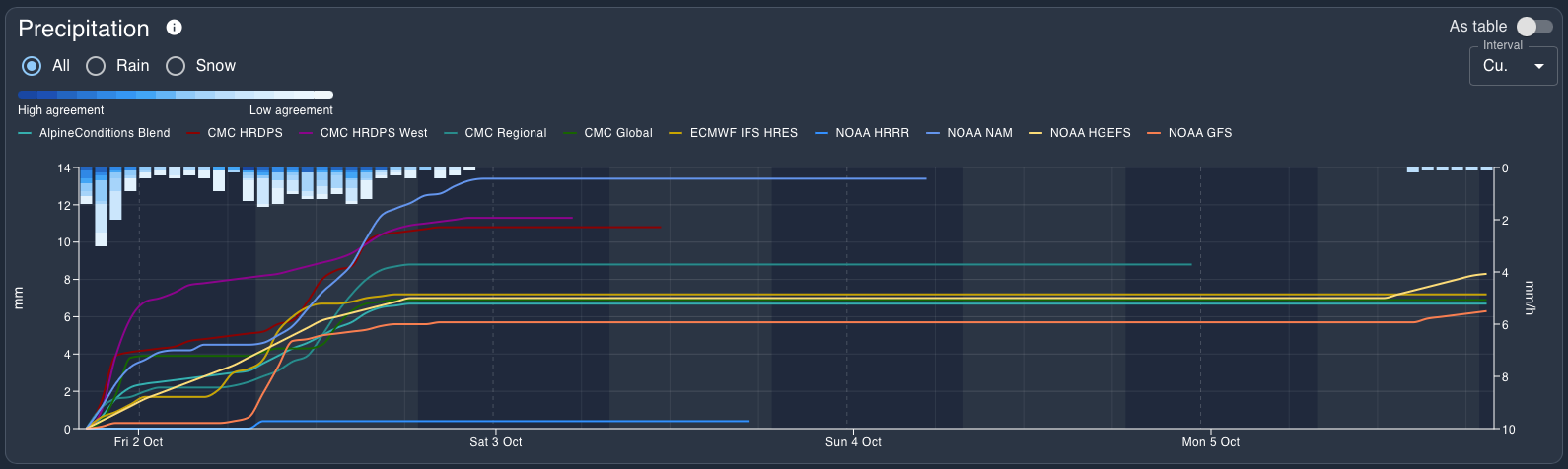
One of AlpineCondition’s strengths is its model comparison. You can select your preferred weather models and they will be plotted together on the graph. This is useful because 1) no single model is ever totally right, and 2) seeing them all together tells us if there’s good agreement (lines are close) or uncertainty (each model is different). When you want a quick look though, Colin says to keep just the AlpineConditions Blend visible. The Blend is a mean of the ECMWF HR, plus the top-5 highest resolution models for a given location (if available - not all locations have every model).
When it’s time for a deeper dive, we use the website on a bigger screen. This gives more space for comparisons and that is AlpineCondition’s other major strength. You can save forecast locations and sort them by groups of three. These are shown in the comparison tab. I have two groups: one is Squamish - Whistler - Duffey and the other is Coast - Roger’s Pass - Rockies. The first one I use every day for comparing freezing levels and precip throughout the Sea to Sky corridor. I want to make sure I’m going to the best spot! The second group is when I’m thinking more long term for where I might want to travel.
This comparison tool is the first thing I open when I open the site. Even if I’ve already decided where I’m going, it gives me a sense of what’s going on in the broader region and what weather might be heading our way. Then I can narrow down to my specific location and get the details of the forecast.
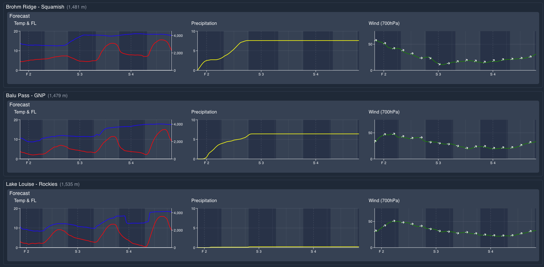
Colin also says that once you narrow in on a location, start with lots of models, then start chopping the outliers. Once you have a tight array with a few models in agreement, that is where you can base your actual predicted amounts. He’s also a big fan of the cloud forecast reference as a good predictor for the timing of arrival of storms. Finally - for those that want to go even deeper, the page has a really good list of help guides and FAQs. As Colin pointed out to me - RTFM!
Despite being very much not his full time job, Colin is doing his best to add features and keep building the tool. Recently he added a summary page for locations so you can get a quick look at the forecast (it also shows the estimated weather for the previous 5 days!), a lighting risk estimate, and a snow depth value. Colin is also super receptive to feedback. We asked that he change the Y axis on the forecast comparison page to be consistent between graphs rather than auto-scale and he was quick to make the fix!
Looking ahead, he mentioned the possibility of adding in previous days’ forecasts to the graphs so it’s possible to compare to what actually happened, as well as some observed weather data sources for the same purpose. He pointed out that often forecasts for Pig Alley in Whistler are 1-2deg colder than actual temps. This is critical when FLs commonly hover in this zone. We’re excited to see how this looks!
That’s all we’ve got for you. If you find AlpineConditions.com valuable, please hit the little donate button on his site and show Colin some support!
For more information, check out Zenith Mountain Guides and our local avalanche forecast. Weather forecasts are custom from meteorologist Jason Ross. These updates are supported by SkiUphill Squamish - the best stop for ski touring equipment in the Coast Mountains and made possible by the Sea to Sky Gondola! Use this information at your own risk. Conditions change rapidly from when this report was written!
Member discussion