Dec 5th - Sea to Sky Snow Conditions
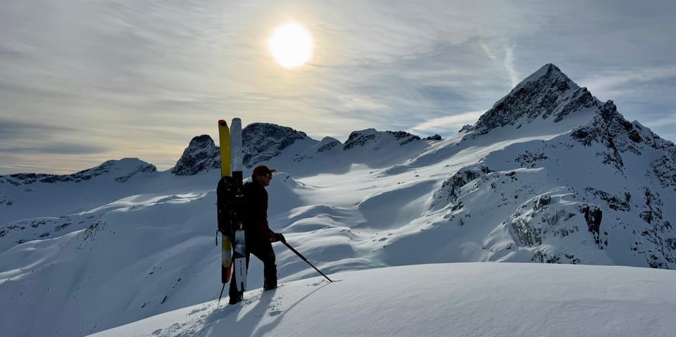
Overall theme:
Weather change! A strong inversion since the weekend has been making for spring-like snow conditions but also really helping to settle our snowpack. Any previous crusts or surface hoar layers are off the radar - smooshed by +6 degree settlement. Now we’re just wondering what the layer that’s waiting to be buried by the next storm will do to us!
Where we’ve been skiing:
We’ve been all over the Sea to Sky from the Gondola, up the corridor to the Currie Zone, on the Duffey, and up towards the Hurley! We’re seeing the biggest snowpack around Squamish (no surprise) but with Whistler chasing close behind. Eastern Duffey is still below threshold and the Hurly is thin but skiable. The snowpack at treeline ranges from 2.2m to 90 cm depending where you are and what the wind has been doing!
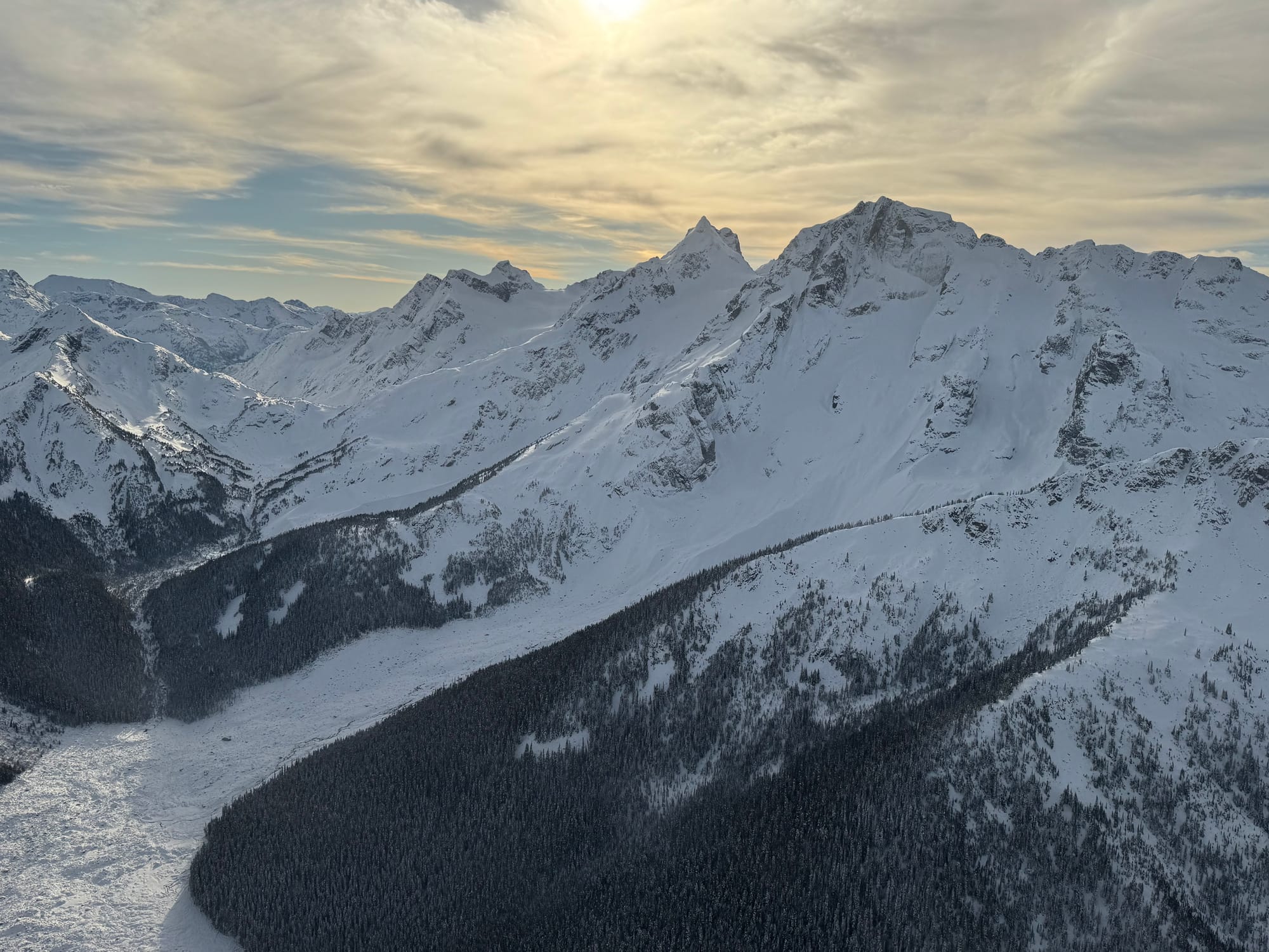
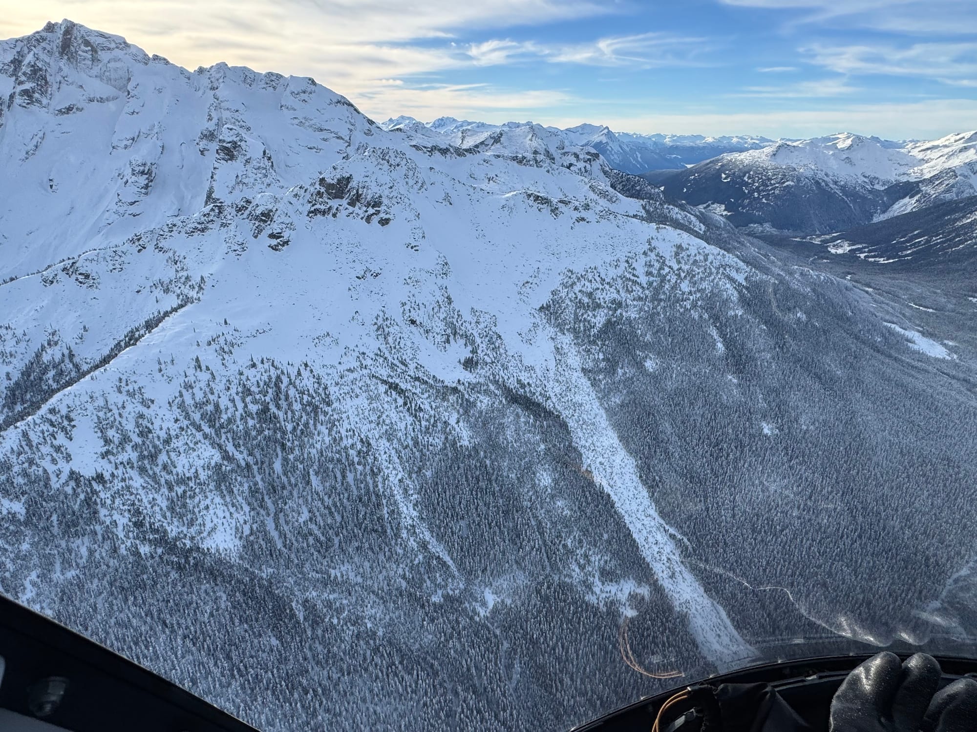
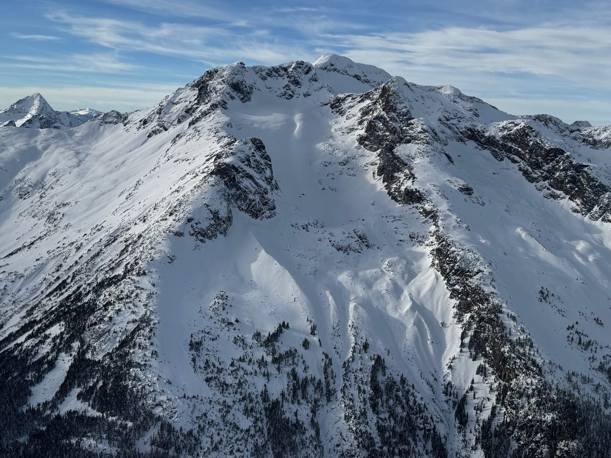
(L to R) Joffre Landslide, Equinox on Chief Pascal, Cayoosh Armchair Glacier
Access has taken a bit of a beating anywhere you start below treeline. The Gondola has been grooming their road all week but it’s getting pretty rocky. Similar at Red Heather with rocks emerging from the viewpoint down. The incoming rain will not be friendly to these trails so we may need to see a decent dump of new snow for those to be back “in”. Above 1300m though, the skiing is doable! Whistler access is improving as lifts open but early season is still challenging (dropping into Blackcomb Glacier is still a drop!). Body Bag Bowl seems to be the preferred access to Blackcomb backcountry at the moment.
And for the ice climbers, we noticed that Danny O’Farrell posted some great photos on Facebook of how climbs up the Bridge River are shaping up.
What’s happened since the last update (weather & general snowpack structure):
Take a look at the last week’s temperature graph from our weather station at 1550m (treeline) at the S2SG. Nice seasonable temps until Sunday when things skyrocketed with daytime temps tickling +10! At the same time, at our houses in town, temps are -1 overnight and the frost barely melts during the day. Whistler saw similar temps however the further north and east areas of the region were a little more protected. High alpine stayed a bit cooler. One helpful thing is that at this time of year the sun is VERY low in the sky and has little power so the daytime temps are warm but UV from the sun is weak.

A melt freeze crust has developed almost everywhere in the corridor. It’s quite thin on high north aspects but elsewhere it’s thick. Crust recovery is still happening due to a cold snowpack and good conditions for radiative cooling (clear nights). Crust recovery hasn't been happening however below treeline where the trees hold in the warmth. Surface hoar has been building on the clear cold nights near the valley floor where there are openings in the tree canopy.
Under the surface crust, cold snow is settling quickly and the snowpack is nearly homogenous. This has made for minimal interesting avalanche observations over the past week but there have been a few wet loose avalanches in south facing terrain that would be plenty to ruin someone's day or worse.
What’s the weather and avalanche forecast?
Active weather returns to the Sea to Sky! The ridge of high pressure that has been persistent over southwestern BC for the past week will finally weaken and move east today. A strong frontal system will move across the area this weekend with precipitation starting as rain as a warm front moves inland this afternoon, followed by a cold front moving across the area Saturday morning, with showers persisting behind the front throughout the day on Saturday into Sunday morning. Freezing levels start off near 2000m before falling to around 1000m by Saturday night.
There is a ton of discrepancy in the total QPF (Quantitative Precipitation Forecasts) amounts for the S2S ranges in the models, ranging from as low as 40mm to as high as 60mm. The front brings heavy rainfall rates, so it's possible the freezing level could be lower than forecasted. Weather models don't interpret diabatic cooling very well so we may be pleasantly surprised. 10-20cm snow is possible over the S2S by Sunday morning. Alpine winds will also be very strong across the area as the front moves through Friday afternoon into Saturday. A ridge builds off the B.C. Coast on Sunday, with drier and colder conditions into Monday before the active pattern continues by mid-week.
Freezing Levels:
- Friday: 2000m
- Saturday: 1000m by Saturday night
- Sunday: 800m Whistler, 1000m S2S Gondola
Precipitation:
- Friday: 5 mm.
- Saturday: 20 to 30 mm.
- Sunday: 6 mm.
Alpine Weather Forecast provided by Meteorologist Jason Ross.
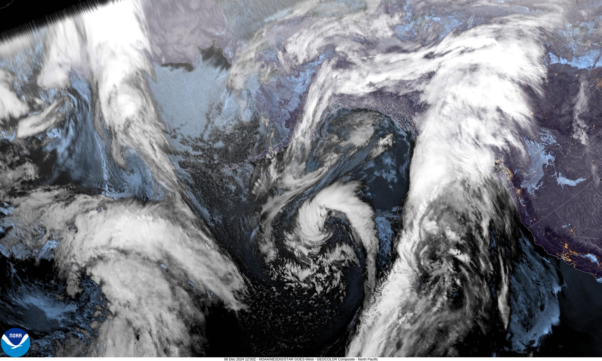
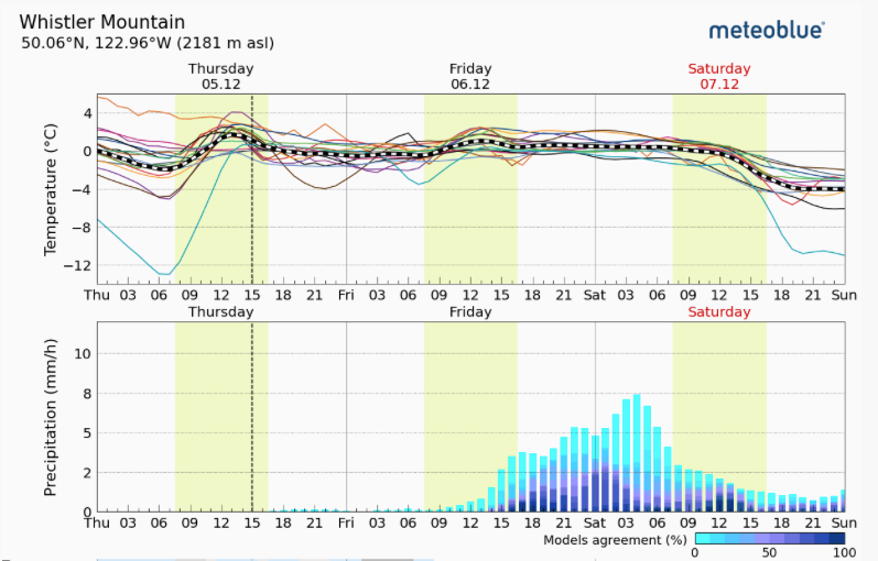
Left: Image of the day from GOES18 West. Look at that plume of moisture hitting western Canada! Right: Meteoblue Multimodel forecast for Whistler.
This storm will make for a messy avalanche forecast. The initial rain is bad for stability (and ski quality) in the moment but good in the long run. This will hopefully take care of any surface hoar and break down the crust a bit to give something for new snow to bond to. Hopefully the storm quickly turns cold though and drops some new snow! Expect elevated avalanche hazard and mediocre to poor ski quality through the weekend. Storm slabs will be on the radar early in the week!
What are my questions for the weekend?
- How warm will the storm get? And how much rain will we see?
- Will any preserved pockets of surface hoar remain?
- When will things cool off and turn to snow? What’s the next pow day?
What will I watch out for or avoid completely?
Aside from generally avoiding skiing in the rain, I’m going to keep my eye on surface hoar factories at treeline, especially in the northern parts of the range. These would be the spots I could see potentially being preserved and buried and then surprise us in the future.
Closing Thoughts:
It’s early season. Be patient and let the storms do their thing. If you’ve gotta get out, this could be the time for simple fitness skins, hitting the resort for a few laps, or just training skills! We have no expectations for going big this weekend. We’re looking forward to seeing everyone at the season opener party Friday night at the Sea to Sky Gondola!
In other interesting avalanche news: a mock avalanche control route was flown on the Duffey Lake Road using a drone! That’s cool!
Also - an interesting study was released challenging the long held statistic that 20% of avalanche fatalities are due to trauma and upgrading that to 50/50 trauma/asphyxiation. While this might not change our exposure to avalanche hazard, it might change attitudes around helmets and first aid training!
For more information, check out Zenith Mountain Guides and our local avalanche forecast. These updates are supported by SkiUphill Squamish - the best stop for ski touring equipment in the Coast Mountains and made possible by the Sea to Sky Gondola! Use this information at your own risk. Conditions change rapidly from when this report was written!

Member discussion