Jan 9 - Sea to Sky Snow Conditions
Overall theme:
The wild winter storms have abated for a bit with just dribs and drabs of new snow, tropical warmth and even some wild winds sprinkled in. We’d rather have massive precip events be our topic of conversation but at least we have a deep and strong snowpack in the alpine and treeline to let us get out there and explore the mountains. Crusts have formed on sunny aspects and the wind has had an effect on exposed areas in the alpine. In some places in the alpine, wind slab and breakable wind board has made for tricky skiing but in sheltered areas the ski quality has remained quite good. Temperatures swings and inversions kept us guessing a bit, but skiing at treeline remained consistent throughout the week, surfing on surface facets and “recycled powder”.
Where we’ve been skiing:
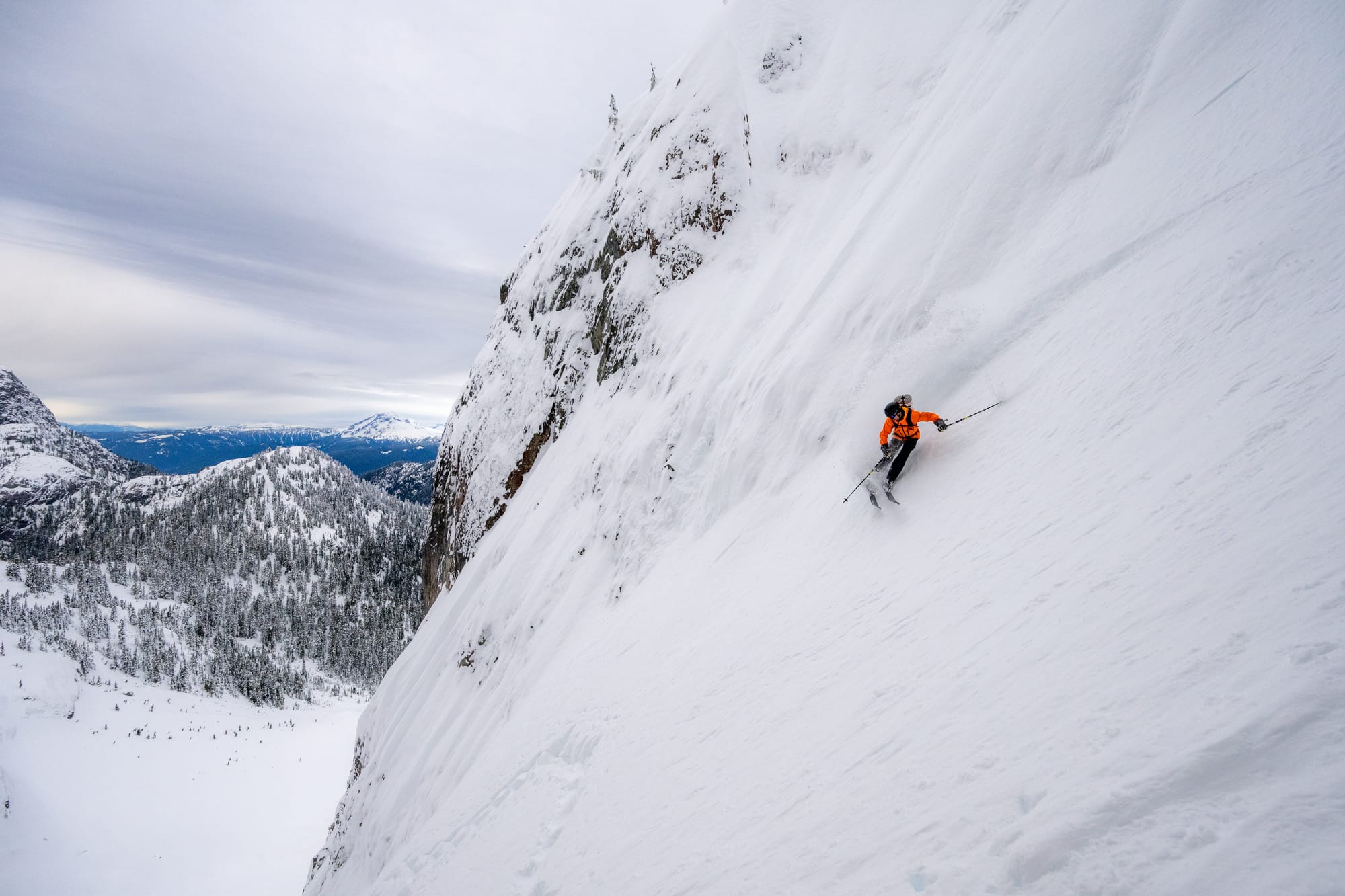
Duffey, Sea to Sky gondola, and Blackcomb backcountry. Approaches and egresses from many of the trailheads are continually improving, including in the Duffey, albeit slowly. The Sea to Sky Gondola road is groomed, fast, and in great shape. Access to Steep Creek is filled in and skis nicely to the road with 76cms recorded at Cayoosh summit. Treeline skiing has been great this week and sheltered areas in the alpine have also been holding nice, faceted snow where the slopes have escaped the effect of the winds up high. In some places, like the Duffey and exposed areas in the WB backcountry, there is widespread wind effect and wind slab that verges on hard slab in places. Lower angle skiing has avoided the impact of the wind and sun and has been skiing quite well!
What’s happened since the last update (weather & general snowpack structure):
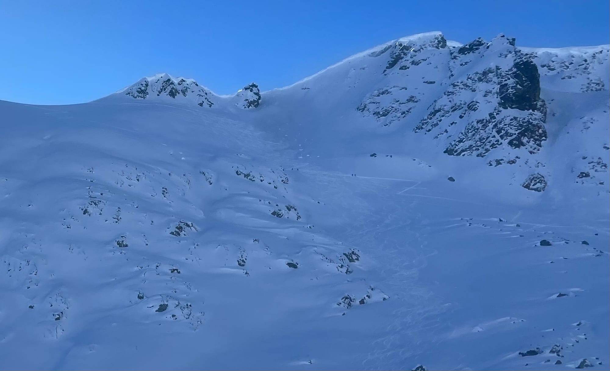
When the sun popped on Sunday, solar aspects became reactive with wet-loose snow, and areas like the Stairmaster on Phalanx rapidly shed the new storm snow. Freezing levels have gone up and down with drastic temperature inversions and highs in the alpine up to 6 degrees C. Repeat performing glide slabs on the Duffey slid to the ground.

Mid-week, several skier triggered size 1-1.5 avalanches were reported from Squamish all the way to the Duffey. These were mostly wind slabs, 20-30 cms deep, that failed on the new/old snow interface.
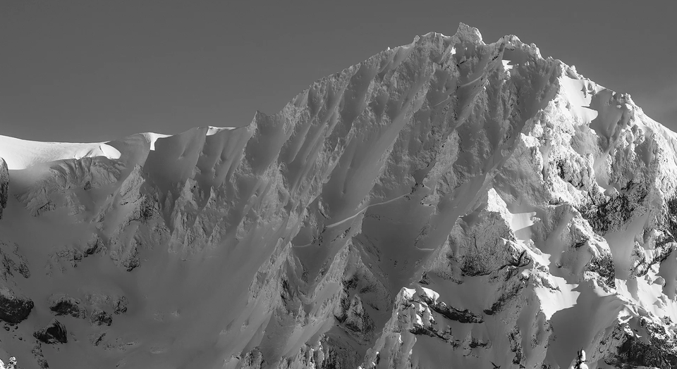
We have also seen several cornice falls resulting in slab avalanches, including a cornice fall on the NW face of Nch’kay which triggered a deep slab avalanche on the face - that definitely caught our attention (banner photo). This one in particular was good validation of our discussion in last week’s newsletter (my shoulder is a little sore from patting myself on the back). Despite being relatively low hazard in the forecast, the snowpack is still in winter building mode - not springtime open season.
With the sunny days and cool nights, surface hoar and facets have developed in the upper snowpack, softening the snow surface and improving the skiing. As the week progressed, the avalanche problem settled down a bit; however, with the new snow forecast for tonight, we are thinking about the current snow surface that is about to be buried: facets, the melt-freeze crust on solar aspects, and sheltered areas where there may be surface hoar.
What’s the weather and avalanche forecast?
A Pacific frontal system will track southeastward across the Sea to Sky Friday morning, bringing periods of snow that will turn to a few flurries in the afternoon, with freezing levels dropping to below 1000m. A ridge of high pressure builds offshore this weekend with northerly flow aloft keeping conditions cool and freezing levels low (between 1000m and 800m each afternoon). On Saturday night, a weak disturbance in the flow will track down the coast, bringing a slight chance of flurries. Total snowfall amounts will range from 10 to 20 cm.
Taking a sneak peek into next week, a ridge of high pressure will strengthen over southwest BC bringing sunny skies and a strong temperature inversion. This high pressure sets up from Monday through Thursday with the possibility of arctic outflow later in the week.
- Friday: 10-20 cm with strong SW winds in the AM changing to strong northerly winds in the PM with FLs near 1000m.
- Saturday: No new snow with moderate to strong north winds and FLs 800-1000m.
- Sunday: Trace new snow with moderate to strong north winds and FLs around 800m.
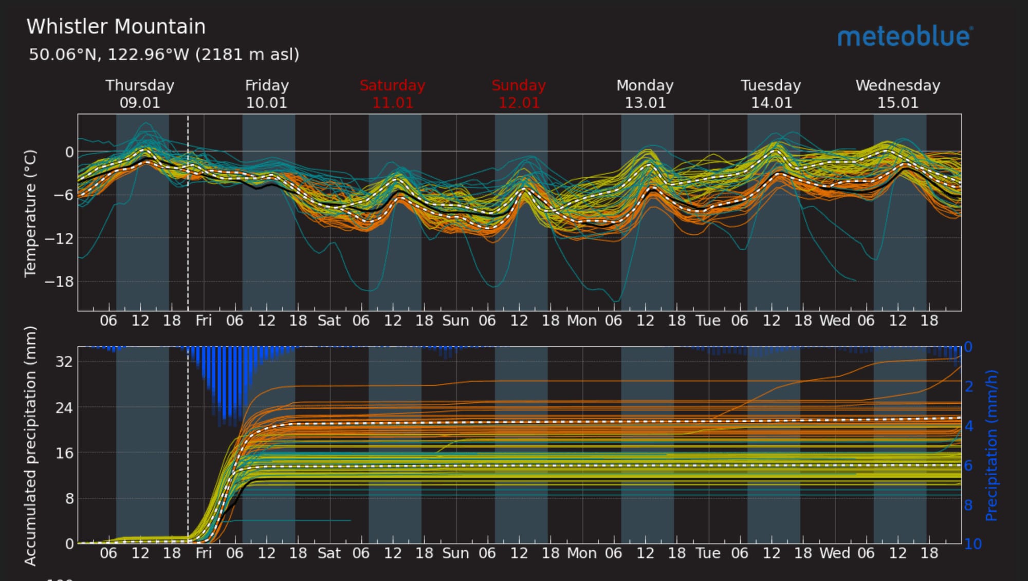
At least the models are consistent there will be no new snow after Friday…
Avalanche Canada currently has the hazard at 3-3-2 for the Sea to Sky and gradually falling through the weekend. The hazard is a wind/storm slab problem especially near ridge-top, rollovers and steep terrain. We’ll be paying close attention to how this new storm snow bonds to our old surfaces.
What are our questions for the weekend?
- How much snow will fall Thursday night and with the amount of wind forecasted, how well will it bond to the old snow surface?
- Will we get critical loading and will the wind slabs be reactive?
With the surface faceting and surface hoar growth into the alpine, we expect these newly formed wind slabs to be reactive and pose a problem.
What will I watch out for or avoid completely?
- Exposed, windloaded rolls; slopes at tree line that may have preserved surface hoar and feed into tree’d run-outs or gullies.
- Big overhead avalanche paths or places where a small wind slab could have big consequences.
Closing Thoughts:
We have a pretty good early season snowpack. To be honest it’s mostly been a boring week! And although that’s not necessarily a bad thing, it just means we’re not building our snowpack deeper and improving coverage and access. At treeline, the snowpack depth varies from 160cm in the Duffey to more than 3m in the Sky Pilot group. Currently there aren’t many layers of concern in the mid and lower snowpack but the current surface may pose a problem for the coming days. With 10-15cm of snow potentially falling on widespread surface hoar and facets, wind slab is certainly on our radar and we will be stepping back Friday and playing it conservative over the weekend. Hopefully the warm temps cooked the weak grains, helping the new load bond as the snow falls! Moving forward, it looks like a window of clear skies is approaching. This will keep things at status quo and we will look for sheltered areas or confined features to find preserved pow.

Member discussion