
December 8th Sea to Sky Snow Conditions
Overall theme:
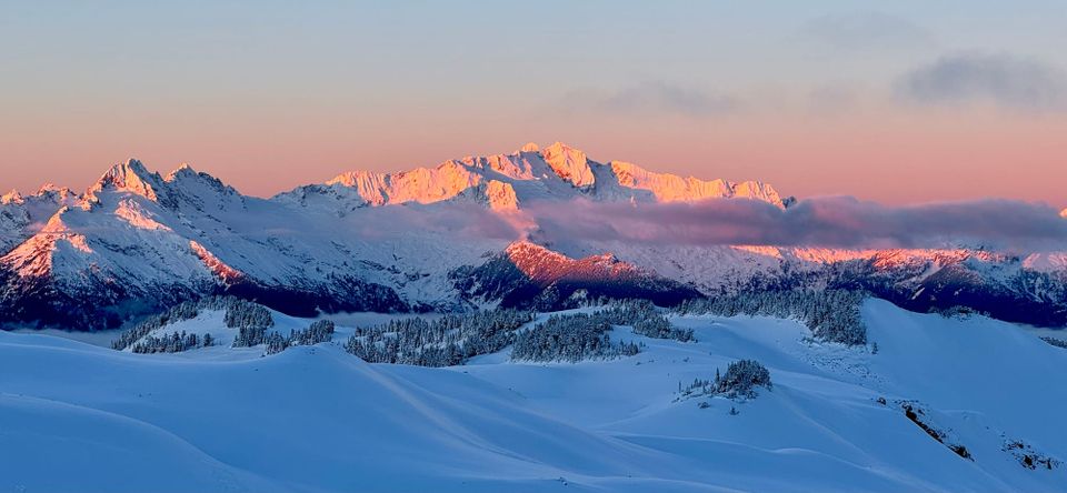
Slow improvements! Snow has fallen and skiing is out there to be found but it’s not a gloriously deep start to December.
Where we’ve been skiing:
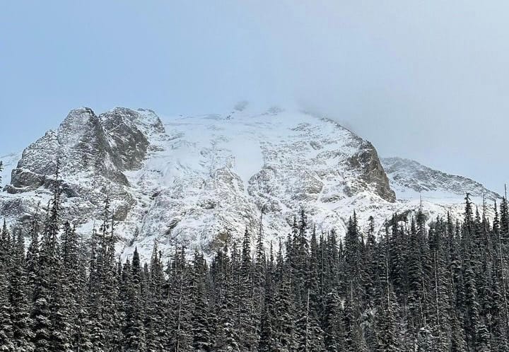
Squamish has the highest snow totals so we’ve both been sticking locally at Red Heather, the Sea to Sky Gondola, and Brohm Ridge. It’s been a good week for training and drilling avalanche rescue! We’ve talked with a few folks who have skied the Whistler alpine and on the Duffey. The further you travel inland the drier it gets. This combined with elevations are what is really determining where to go.
What’s happened since the last update (weather & general snowpack structure):
Well, it has snowed! For better or worse though, it also rained. A LOT. The majority of the snow fell last weekend and some lucky folks did get to take advantage of that. Skiable snow actually dropped down to nearly 900m elevation in Squamish! It also snowed right down to Whistler Village. This snowfall covered up the substantial surface hoar that had formed in the many days of high pressure.
That was followed shortly by the massive Monday rainstorm. This had peak 12hr rainfall rates that were similar or more to the storm in 2021 that caused all the road washouts but luckily, we didn’t have the preceding days of rainfall we did back then. We saw freezing levels spike (see graph from Whistler) but the actual snowline didn’t go as high as it could have. Don’t ask us how this happens but imagine it being similar to hail in the summer when temps are above zero. While low elevations got primarily rain, the highest peaks actually got quite a bit of sludgy snow (and some rain). This load of snow caused avalanche danger to spike as well and we are now seeing the result - a widespread avalanche cycle throughout the Sea to Sky, that likely failed on the December 1st surface hoar or melt freeze crust layer. This can still be found preserved on specific, low angle features that didn’t avalanche in the storm (almost everything steep did it seems).
By Thursday, temperatures returned to seasonal and a small refresh of snow (10-20 cm around Squamish) improved the surface quality. Friday morning was clear and cold, and good to see the evidence of activity in the alpine. With the cold temps freezing up the saturated upper snowpack, a thick crust has formed and is going to do a great job of bridging the snowpack. Of note as well, is the last 48 hours of cold and clear have certainly dropped another small SH layer in places, so watch to see if it adds to some touchiness with this next storm. 20-30 cm snow depths are prime for skier/rider triggering!!
Blowdown Mid station is still reporting 53cm, but looking around up there, the last pulse of snow didn’t really get to the dry side of the Duffey. The Matier/Joffre area looked like it had double the snowpack. The reality is that the road elevations in the Duffey have even less snow and breakable crusts, so even though you may be able to get to some decent turns above 2000m on the Duffey, you will pay a heavy, heavy price! In the Whistler/Blackcomb zone, 1700m seems to be the magic number for where you will be finding some decent riding conditions. In Squamish, it’s closer to 1400m!
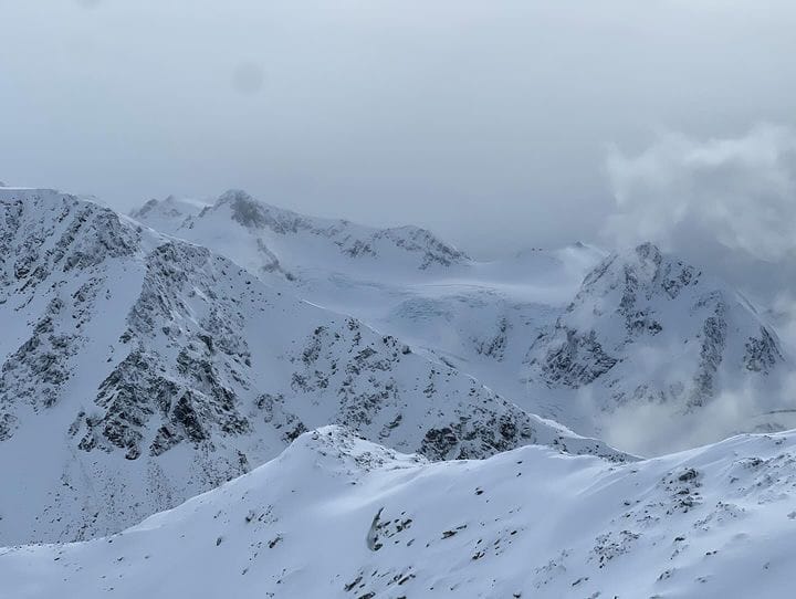
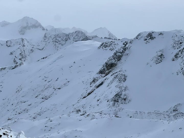
Husume, Overlord, and Decker all looking incredibly thin. Husume appears to have lost almost all of it's summer ice/snow. Images courtesy of superguide Brent Phillips - Instagram: @spearheadmountainguides
What’s the weather and avalanche forecast?
We will likely see a storm arrive Saturday morning or mid-day with 10-15 cm in the Squamish area and another 10-15 by Sunday morning. This tapers off as you go north and it doesn’t look like the Duffey will be getting much yet again. Winds are substantial with up to 80 km/h expected on Saturday so we’ll be expecting a Wind/Storm slab problem in the alpine and Avalanche Canada has already forecast the avalanche danger at considerable.
What are my questions for the weekend?
- Intensity of the storm is the question here! It looks like it will be cold enough to drop the snowline down and we may even see flurries at valley bottom! We just hope we’ll see higher snowfall totals and less wind.
- Friday (Dec 8th) was clear and cold and widespread surface hoar developed again throughout the corridor. Will this be blown away before it’s buried by Saturday’s storm? Will it continue to grow on the Duffey if new snow doesn’t make it that far?
What will I watch out for or avoid completely?
- Probably going to be pretty careful in the alpine while the wind slabs are forming and fresh over the weekend. Treeline will be the place to play during the storm for vis and good conditions!
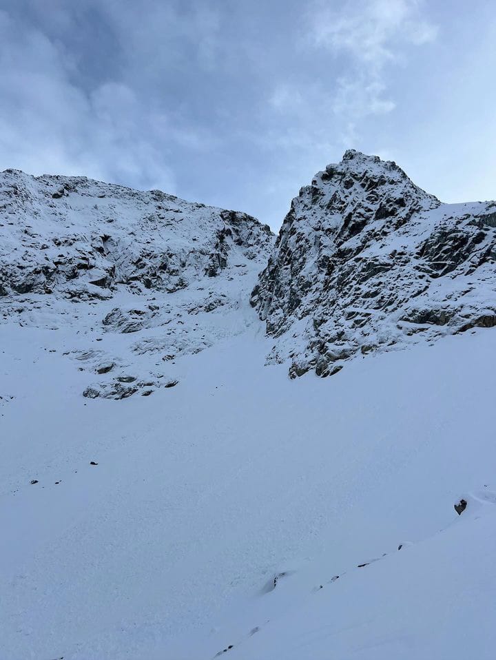
- It’s still VERY early season conditions. We know we’ve been beating this horse pretty hard but there’s lots of rocks to hit out there in funny places. Eric hit a windswept patch of thinly covered rocks on Friday in good vis and nearly took a header. Where avalanches happened on Monday/Tuesday, some places slid nearly to ground. These slides have exposed some rocks that were starting to disappear!
- We’re still going to be holding on skiing north of Whistler a bit longer until we hear that the breakable crust from Wed/Thurs has healed a bit and they’ve gotten a bit more snow!
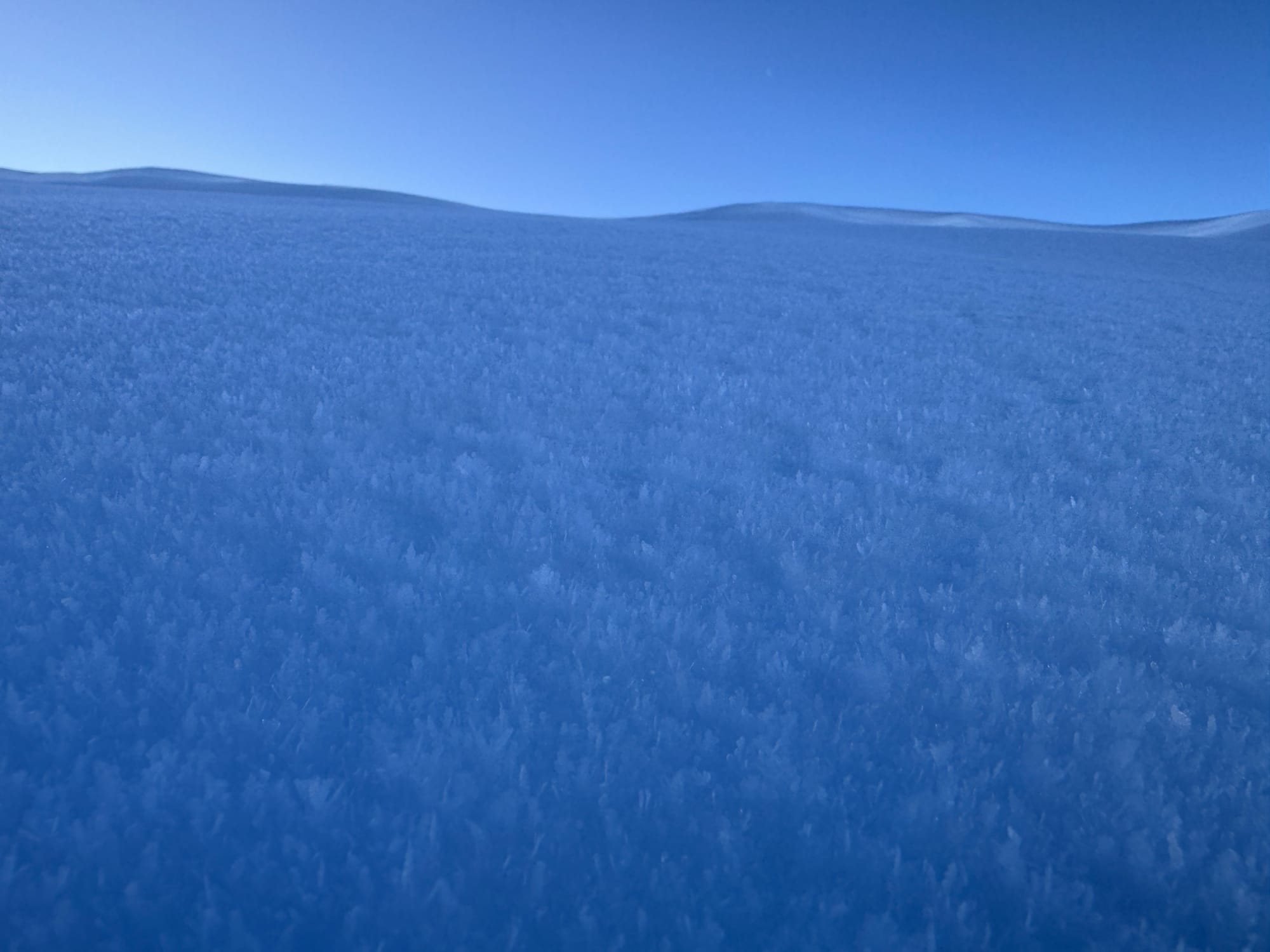
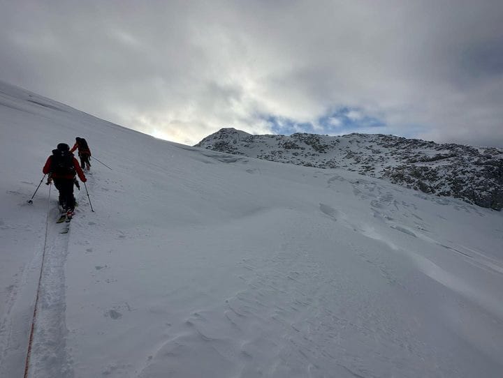
- Glaciers. When vis cleared on Thurs/Fri, we got a look at Whistler and Squamish glaciers and they are gnarly! Less than 1 m of snowpack means crevasses are wide open!
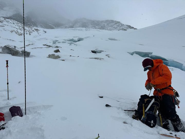
AMGA Training course in crevasses on Tzil Glacier (top), Matier Icefall (lower left) and Stonecrop Face (lower right). Images courtesy Ian Havlick, AMGA.
Closing Thoughts:
Woof. It’s happening but slowly. Still time to stay calm and do fitness laps, tweak the gear, and train skills…
Eric Carter and Evan Stevens contributed to this report. For more information, check out Zenith Mountain Guides and our local avalanche forecast. This update is supported by SkiUphill Squamish - the best stop for ski touring equipment in the Coast Mountains as well as the Sea to Sky Gondola! Use this information at your own risk! We are not responsible for your actions in the backcountry and conditions change rapidly from when this report was written!
Member discussion