
Feb 29 - Sea to Sky Snow Conditions
Overall theme:
SPAW and Uncertainty! We’re finally getting the big winter storms that we’ve been waiting for! This is all falling on a crust/facet/windslab combination that has made things complicated the last couple weeks. But mother nature just slammed down hard on the reset button. As we often rant, big weather/weird weather means big avalanches or weird avalanches. Our widespread Feb melt freeze crust is still there, and so are the facets on top of it. Where is that going to leave us is really the big question. Remember, we’ve had a MAJOR change in weather and conditions and this is GOING to require more thoughtful travel.
Where we’ve been skiing:
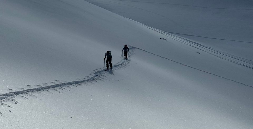
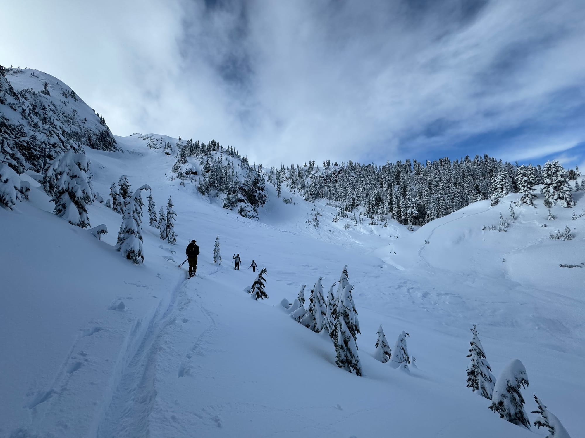
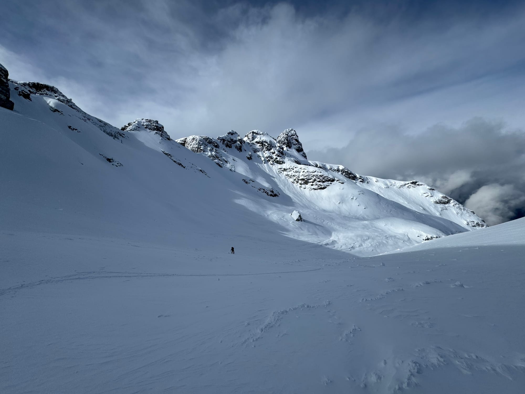
Primarily in the Squamish zone this week! Eric was in Whistler over the weekend and we’ve both been poking around Red Heather and up at the Sea to Sky Gondola. Evan also got to take some flights and skiing around the ranges on the other side of the highway from Whistler - Rainbow to near the Hurley. Then the snow guns turned on. When skiing improves around here, it’s hard to justify going elsewhere - especially when the highway is crazy with Whistler traffic!
Significant avalanche cycle (both natural and skier triggered) on Monday in the Whistler/Hurley area.
What’s happened since the last update (weather & general snowpack structure):
A seriously windy day on Sunday was the first in a series of interesting weather events. This loaded up windslabs for a crazy Monday. A significant avalanche cycle occurred in many places that had a decent amount of snow. North and west of Whistler, the Duffey and the Hurley had up to 40cm of snow on the crust by end of day Sunday and, combined with the winds, many slopes slid. Whistler and Squamish seemed to avoid this cycle due to a melt freeze crust capping some snow for transport. The conditions weren’t quite loaded enough for a natural avalanche cycle to occur but were ripe for human triggering. This is pretty scary and it certainly caught folks off guard with lots of skiers triggering slabs directly, and remotely.
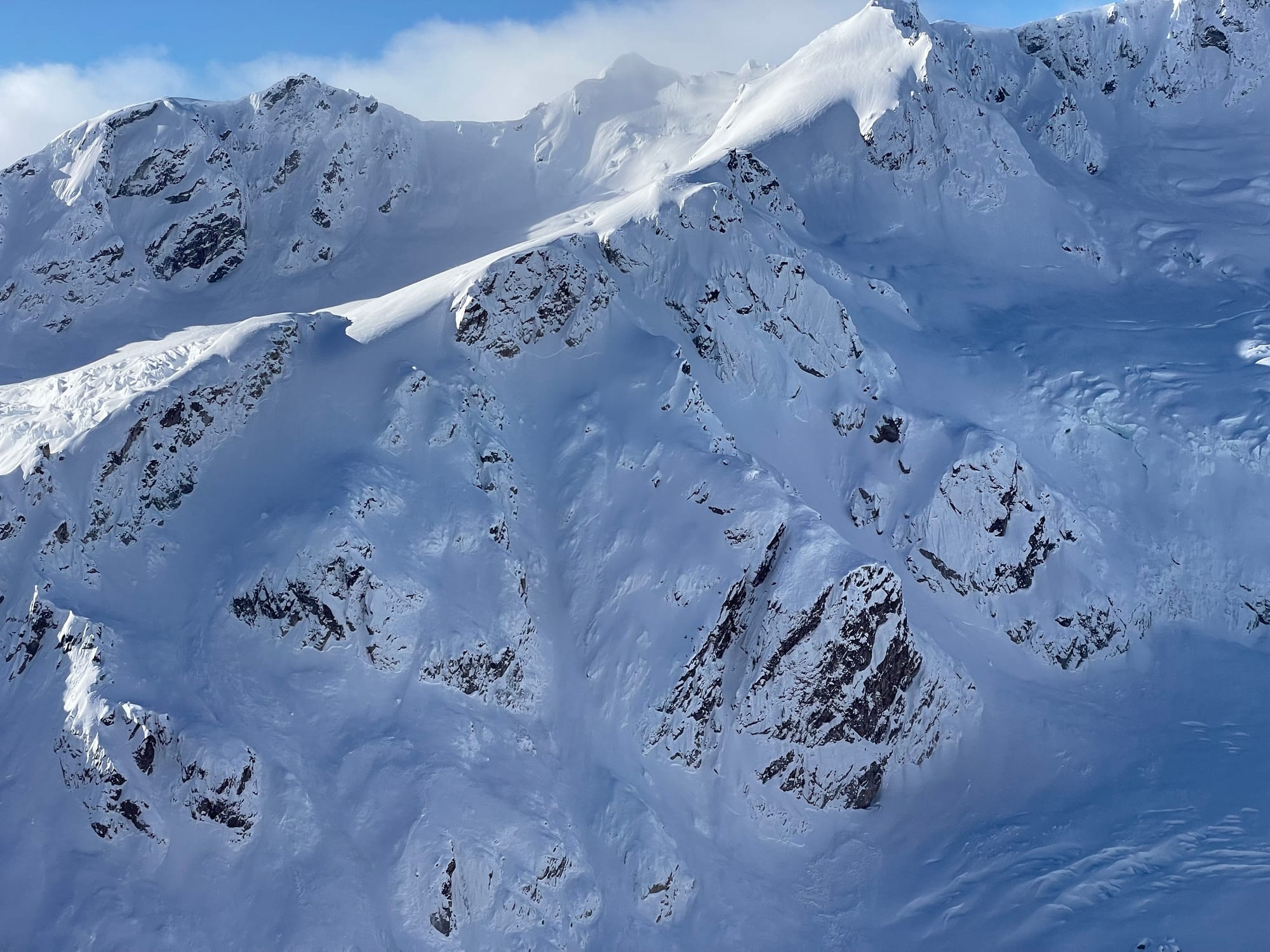
While the weekend’s storm didn’t quite deliver what we hoped for snow totals, hidden in the longer range forecast of last week’s newsletter was another storm! That arrived Tuesday night and pounded its way through Wednesday with warming temperatures and a very widespread avalanche cycle. This was very apparent at the S2SG with almost every slope visible that could slide cleaned out.
Finally this season, we had a stroke of luck and the warming was brief, with only a little bit of rain in the corridor - which is likely when most of the natural avalanches occurred. The storm finished cold with temperatures plummeting Wednesday evening, dropping ~20cm of nice cold snow into Thursday. The storm continues as we write Thursday night…
Snowfall totals as of Thursday night:
- Whistler had 88cms in 24 hours, with a storm total of 100-120cms.
- Squamish area was likely in the 100-140 range (denser for sure early on). The S2SG has 25-40cm at the top station and ~90cm at the end of the groomed road and ~3m at TL (1400m).
- Duffey region got 60-80cms. The big peaks (Matier/Cayoosh) pushing 100cm is likely.
What’s the weather and avalanche forecast?
Finally we have entered a W-NW zonal flow. The blocking high pressure systems are gone and the parade of systems is lining up nicely. There could be some bigger pulses, but currently it looks like a good unsettled 5-10cms a day for the next while. Can you hear our sighs of relief?
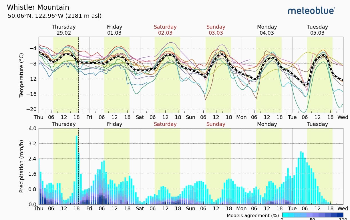
The avalanche hazard on Friday for much of the Sea to Sky Corridor is high at treeline and in the alpine and dropping to considerable by the weekend. The major problems include storm slabs forming with the new snow and the higher consequence problem of a persistent slab - formed on our burly Feb melt freeze crust covered in facets.
The big question is really how quickly our avalanche problems will settle out. That was a massive load and it brought the house down from Squamish to the Duffey. Not much didn't slide, so let's see what happens in the next while. Tip toeing is an understatement.
What are my questions for the weekend?
- What DIDN’T avalanche in Wednesday’s cycle? I’m looking at the Duffey here - snow totals were a little lower and it didn’t get quite as warm. There was an avalanche cycle but there might be quite a bit more waiting to be triggered than further south here. Even further south near Whistler had some very concerning activity including a large avalanche triggered by skiers remotely!
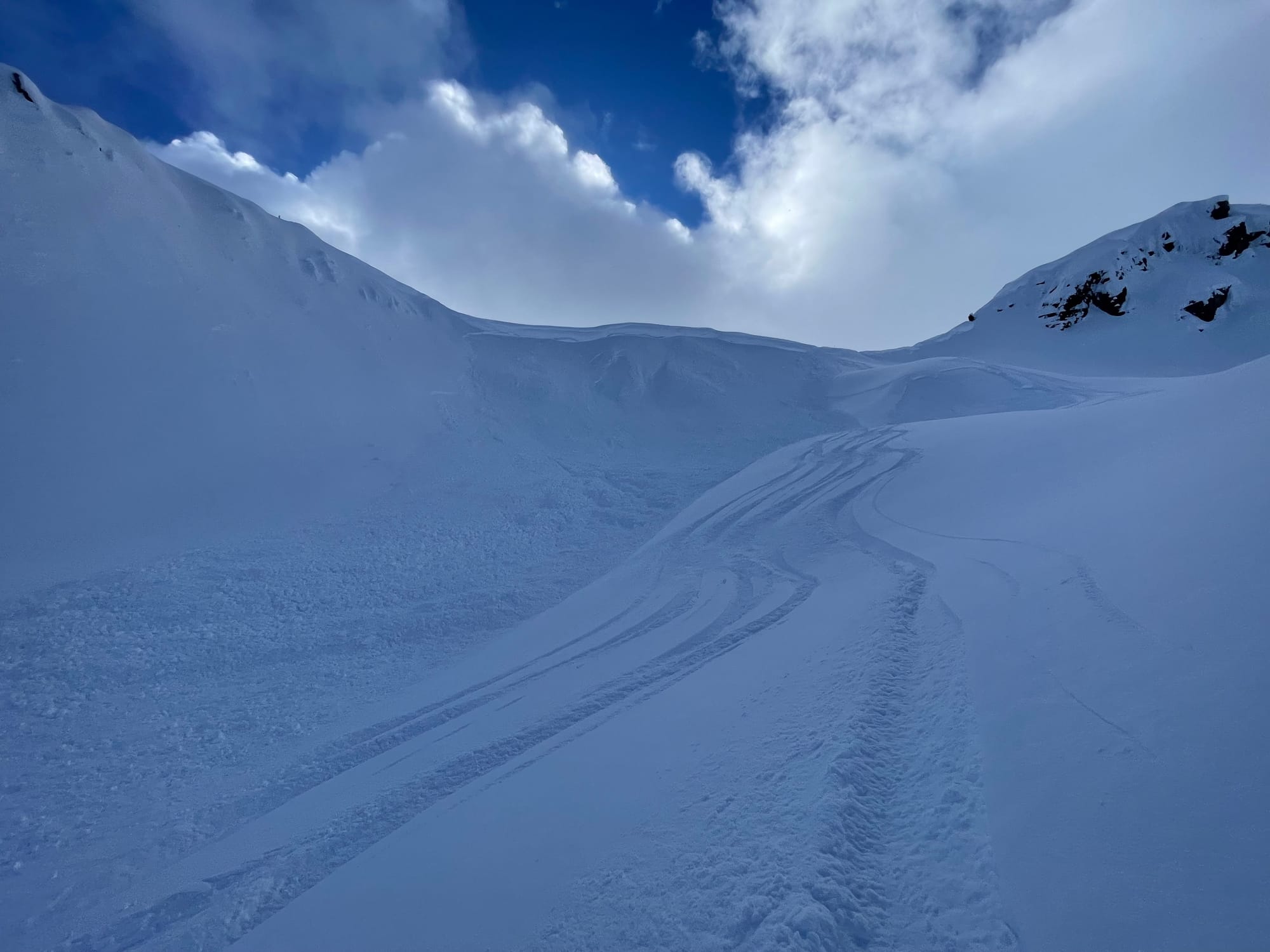
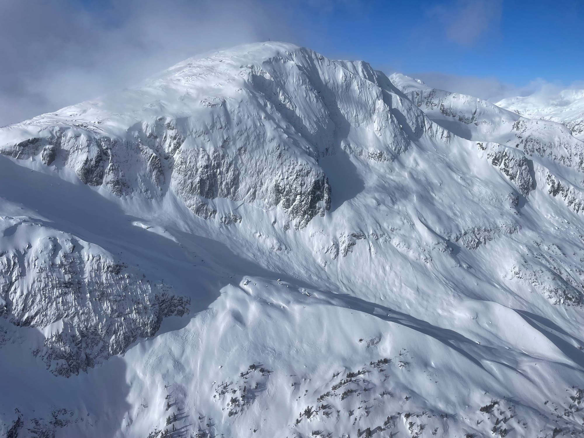
- What reloaded as the storm tapered off? While poking into alpine terrain on Thursday, we noticed massive debris from the Wednesday cycle but some of the crown lines were barely discernible, indicating they may have reloaded on the bed surface and still be ripe for triggering.
What will I watch out for or avoid completely?
- Friday looks spicy if any more snow arrives. I’m going to be very careful off the start here.
- Any terrain that didn’t avalanche on Wednesday. The big problem is this will become increasingly hard to tell as new snow fills in! Around the S2SG, the avalanche cycle was apparent but will be hard to read by the weekend so fortunately we got a good look in there today for future confidence. Further, crowns were filling in fast so areas like the Ledge couloirs may appear to have slid but actually be quite ripe.
- It’s STILL early season hazards out there! Below treeline is still really thin. That means creeks, stumps, logs, etc are thinly covered with new snow. At treeline, the coverage is better but tree wells are a serious risk with 100cm of new unconsolidated snow in many areas! Ski with buddies and stay close in the trees!
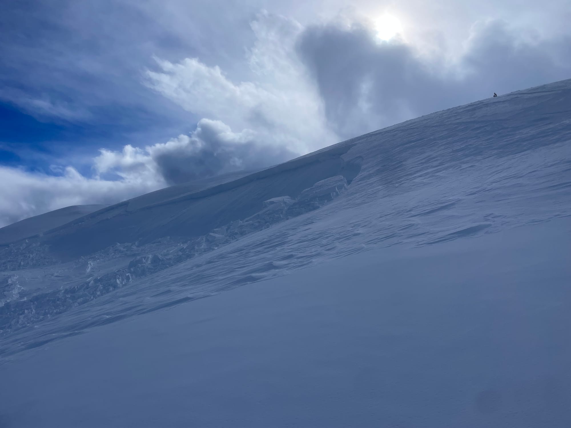
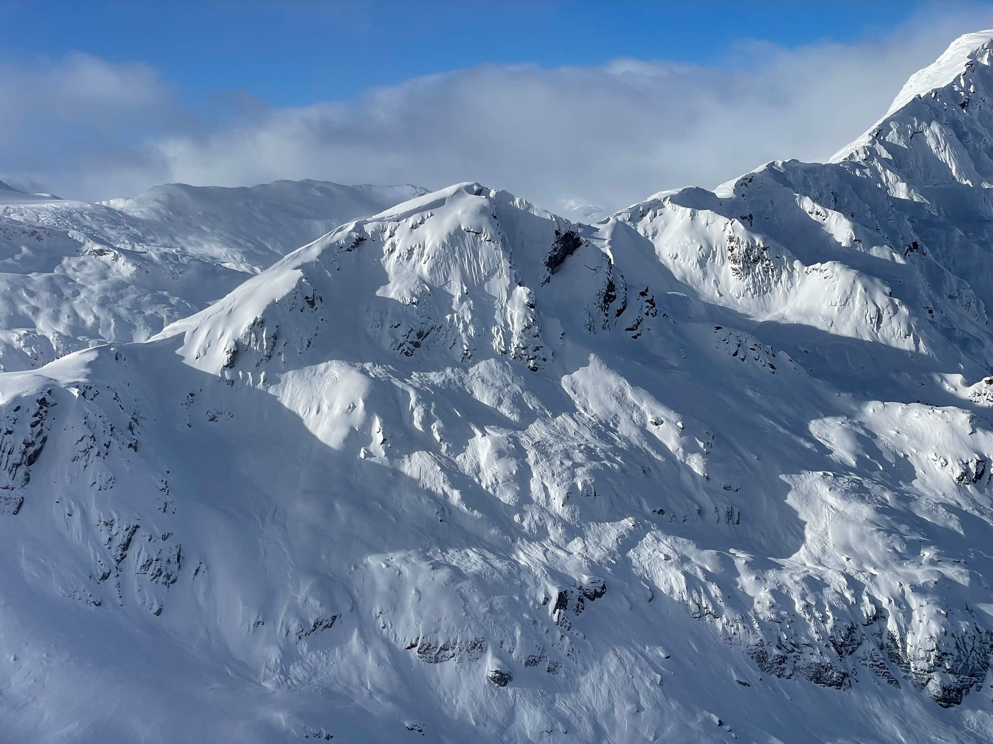
Large avalanches in the Stadium Glacier/Gullies! These avalanches ran during the warming on Wednesday and were covered by additional snowfall Wednesday night into Thursday.
Closing Thoughts:
As we move into the weekend, and public forecast hazard is perhaps reduced slightly, we’re still going to be sitting on a very complex considerable hazard rating. These conditions could still result in very damaging avalanches and are going to require very careful decision making and terrain choice by even experienced backcountry travellers! A reduction in hazard is not a green light, especially while dealing with a persistent slab problem!
As time goes on avalanches will be harder to trigger but the propagation and widespread nature of this weak layer means they will be unsurvivable. Tread lightly! If the snow keeps up at least tree skiing might finally be back on the menu! They don’t issue SPAW’s lightly. If you are not rock solid in your terrain choices and decision making, don’t push your luck. It’s not the time to take chances.
Eric Carter and Evan Stevens contributed to this report. For more information, check out Zenith Mountain Guides and our local avalanche forecast. These updates are supported by SkiUphill Squamish - the best stop for ski touring equipment in the Coast Mountains and made possible by the Sea to Sky Gondola! Use this information at your own risk! We are not responsible for your actions in the backcountry and conditions change rapidly from when this report was written!
Member discussion