
Jan 18 - Sea to Sky Snow Conditions
Overall theme:
Deep freeze is moving on! Between wind events we had some good skiing. Now we’re looking forward to some unsettled but warmer weather.
Where we’ve been skiing:
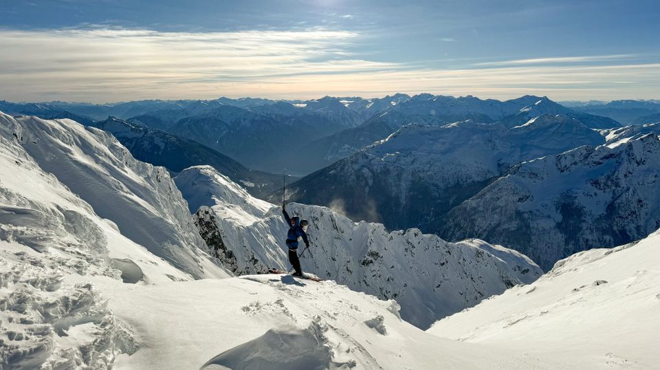
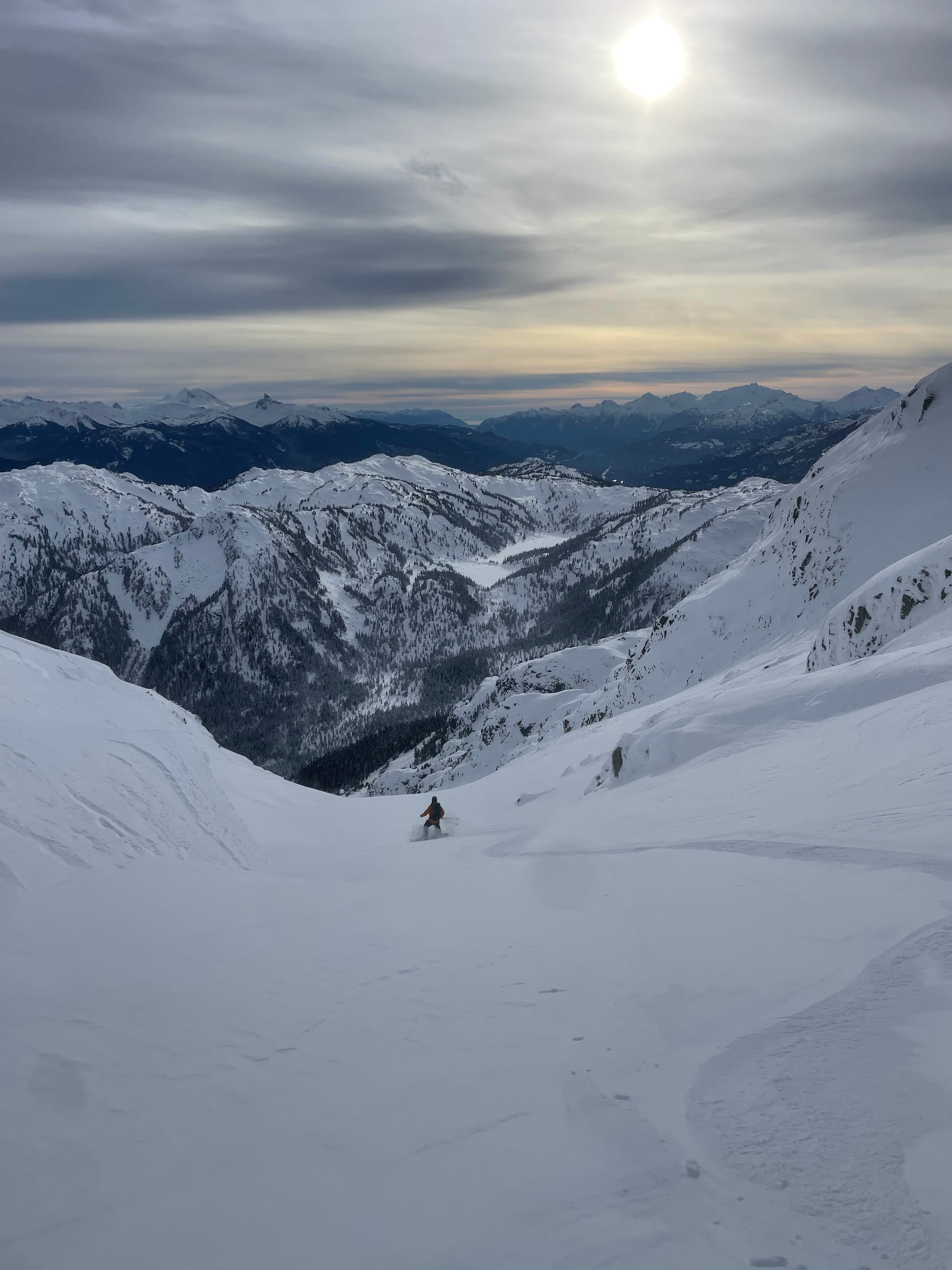
We’ve been out for a good spread of the corridor, from the central Duffey (Cayoosh Area) to Whistler (Spearhead and Rainbow) to Squamish (Red Heather and the Sea to Sky Gondola). Its feeling like normal winter again, and we’ve been enjoying the improved access to lots of our favourite zones.
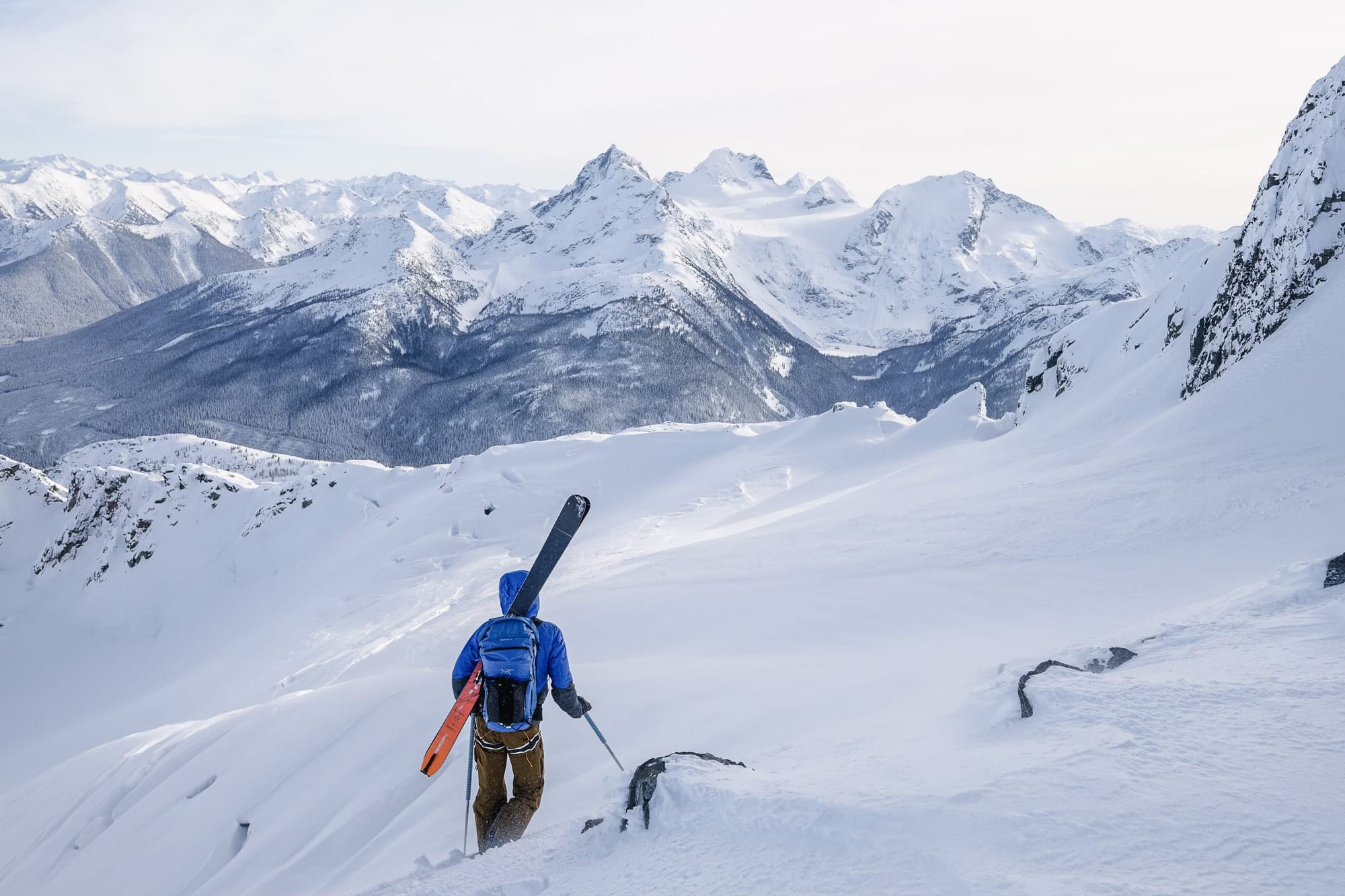
Snow has continued to trickle in despite the high pressure but approaches, especially those on trails below tree line, remain thin. This week has been about using roads, lifts, or snowmobiles to get as close to treeline as possible where coverage is sufficient for open skiing. Not a huge change to approaches from the last newsletter! Don’t forget to read between the lines on this one: tree skiing is still generally not that great in the corridor. For example, the Hanging Lake area is passable but rugged until 1300m or more. Sky Pilot/S2SG is quite thin (69cms) at 950m and the thick forest canopy on popular tree runs is keeping the snowpack low with tons of logs, rocks and creeks still quite open. If you want easy access, it’s hard to beat the major access routes to the high country: WB backcountry, popular objectives in the Duffey with established trails/logging roads, etc.
What’s happened since the last update (weather & general snowpack structure):
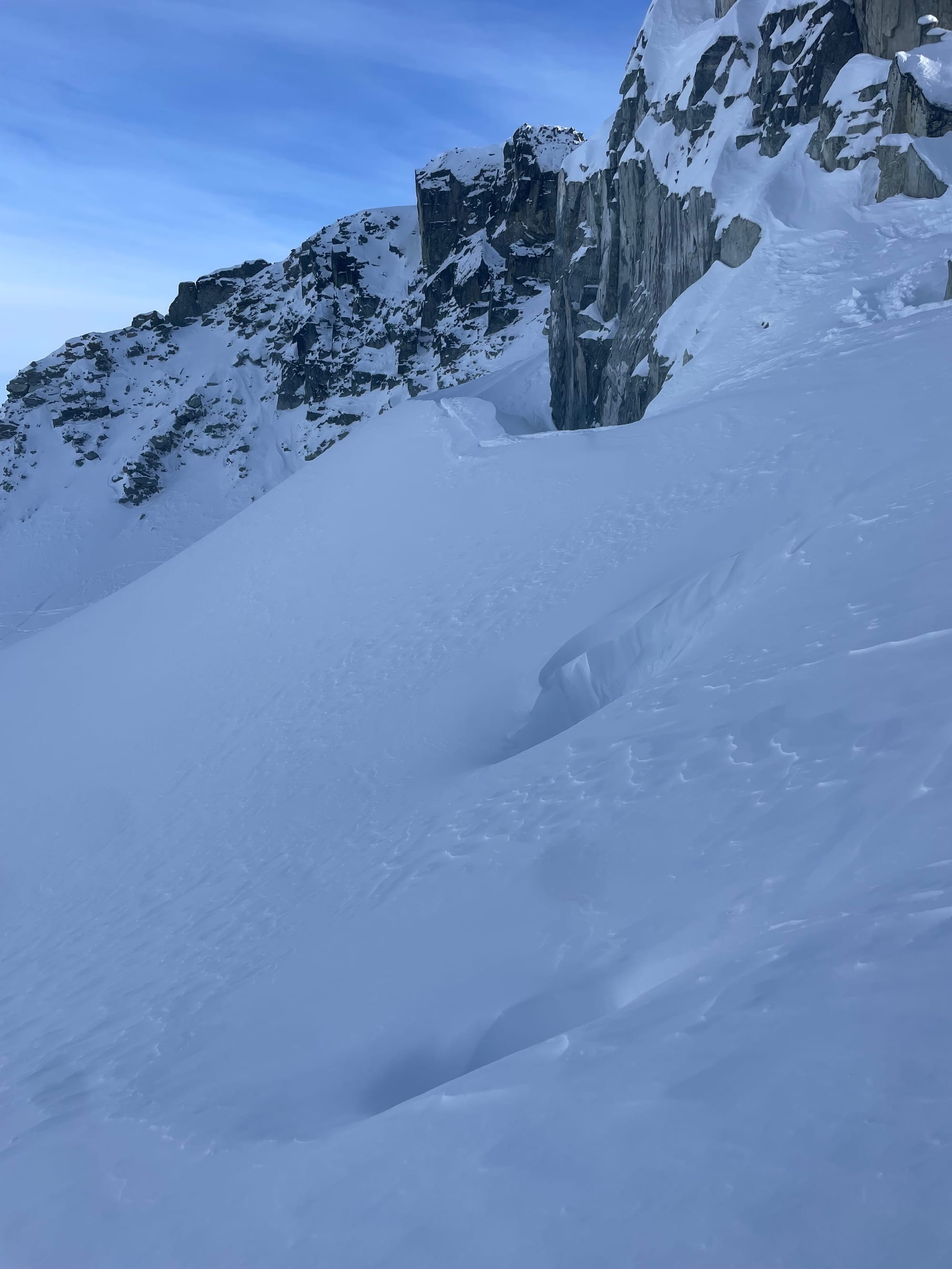
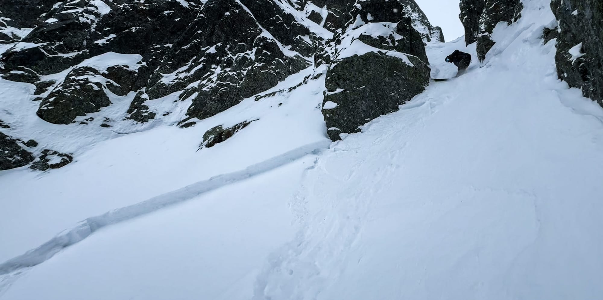
Hard to imagine anyone hasn’t noticed, it’s been cold! Much more seasonable temps brought snow to sea level. Small refreshes have helped maintain ski quality but overall, the snowpack is still very thin. Several wind events related to the arctic outflow weather patterns caused significant reverse loading. These are northerly winds and, depending on the topography, can cause fairly chaotic windslab formation, but especially on south facing slopes. However, it was blowing hard enough that many south slopes went beyond loading to getting stripped or pressed - meaning in the wind hit locations, very few snow surfaces were left unaffected. This was obvious on Rainbow the other day before our last refresh. The Spearhead range seemed to avoid the worst of the outflows and generally was providing some settled fun skiing with little evidence of natural activity or even human triggered slides. Thursday in the Sky Pilot zone we saw shallow sensitive slabs forming near ridge crests.
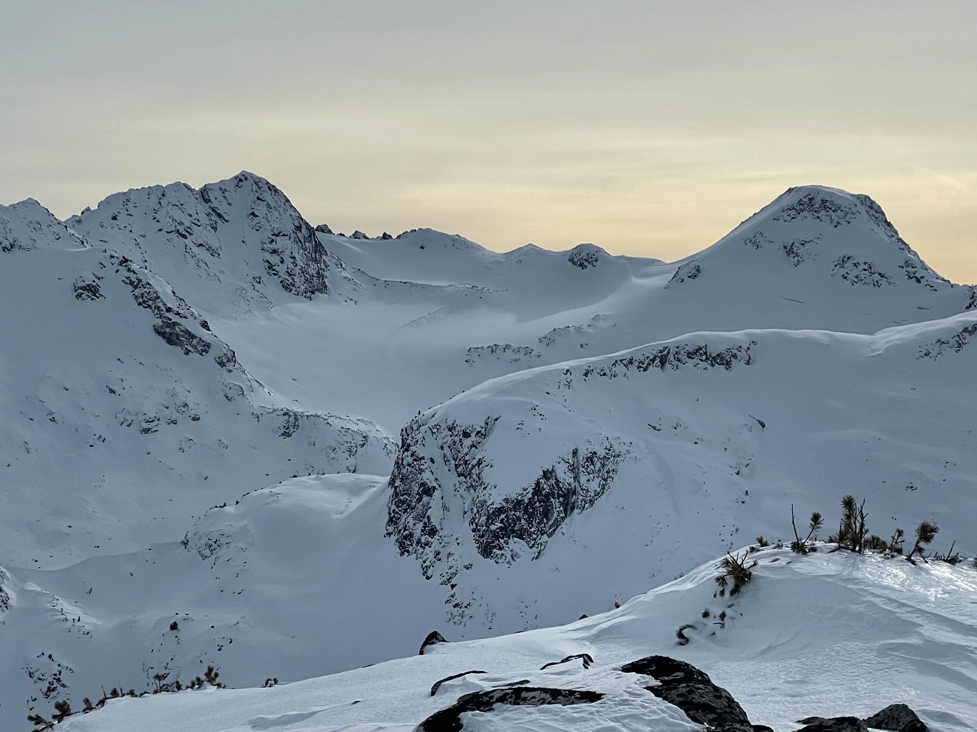
Pattinson/Trorey (top left) with a new moraine on the glacier. Toe of Spearman Glacier (top right). Rainbow S. Gully (bottom left). Holes still visible below traverse to Cham Chutes on Spearman (bottom right).
Our upper snowpack consists of 15-25cm of new storm snow currently being redistributed by northerly winds and forming soft wind slabs in specific exposed locations - think ridge crests. The outflow winds did seem to be worse in the Squamish areas and less so at Whistler Blackcomb and the Duffey. This covers the previous storm’s ~25cm that was also generally reverse loaded. The previous snow surfaces showed signs of faceting in the cold temperatures. The mid-pack is generally gaining cohesion and rounding out while the lower snowpack is refrozen snow in the south and layered melt freeze crusts in the north.
What’s the weather and avalanche forecast?
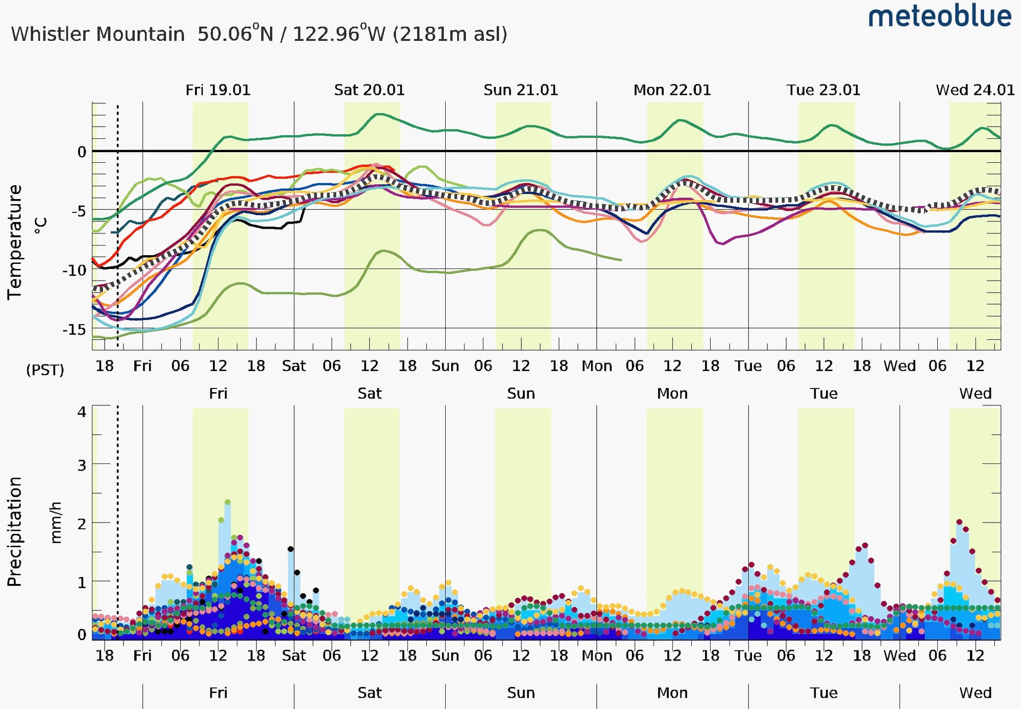
Sadly, freezing levels spike to ~2000m on friday with 20-40mm of precipitation in the forecast. The further north and east in the corridor, the lower both the freezing level and precip amounts but confidence in storm intensity is low. It’s quite hard to tell exactly how much snow we should expect but this doesn’t look like huge amounts.
Areas with more rain on snow expected (North Shore & Squamish) may see fairly significant wet loose avalanches, that could also trigger the windslabs built Tuesday - Thursday.
Slab development will be dependent on wind while warm temperatures will be a major caution. As freezing levels drop later in the weekend and into the week, we may see improving conditions.
What are my questions for the weekend?
- Where can I find areas that stay colder and drier?
- What didn’t get touched by the last round of wind?
- How much new snow will fall to cover up the old surfaces enough to be enjoyable?
What will I watch out for or avoid completely?
It looks like Friday PM and Saturday AM will be the highest intensity for the next pulse of weather so we won’t be going for anything interesting there. Fitness skiing, lift served, and training. Right now we have some cold snow on the surface that will be quickly overloaded with more dense warm snow and rising temps - a perfect recipe for slab avalanches.
I’ll be stepping out slowly as the storm tapers off. If precip amounts are higher, I’ll give it more time. The reverse loaded slopes from this week will stay on my mind as they become buried. Again, look to get out to lower snow total areas first - if Blowdown and the Duffey only get 15-25 and it stays colder, it would be a great place to start with for quality skiing and riding.
Closing Thoughts:
We’re still in the same pattern of mid-elevations being the best skiing. Most important is getting high enough that access is reasonable and getting above the snow line, but not so high that the snow isn’t protected and gets blown away. Remember this warm storm over cold snow is the perfect recipe for sensitive triggers the next few days!
Eric Carter and Evan Stevens contributed to this report. For more information, check out Zenith Mountain Guides and our local avalanche forecast. These updates are supported by SkiUphill Squamish - the best stop for ski touring equipment in the Coast Mountains and made possible by the Sea to Sky Gondola! Use this information at your own risk! We are not responsible for your actions in the backcountry and conditions change rapidly from when this report was written!
Member discussion