
Jan 25 - Sea to Sky Snow Conditions
Overall theme:
Is this the week to book that last minute trip to Japan?
Where we’ve been skiing:
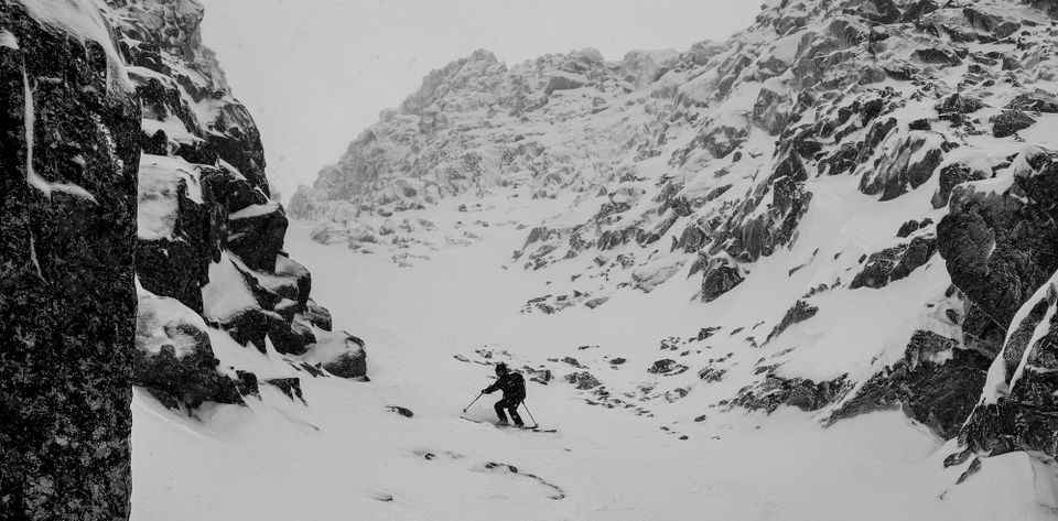
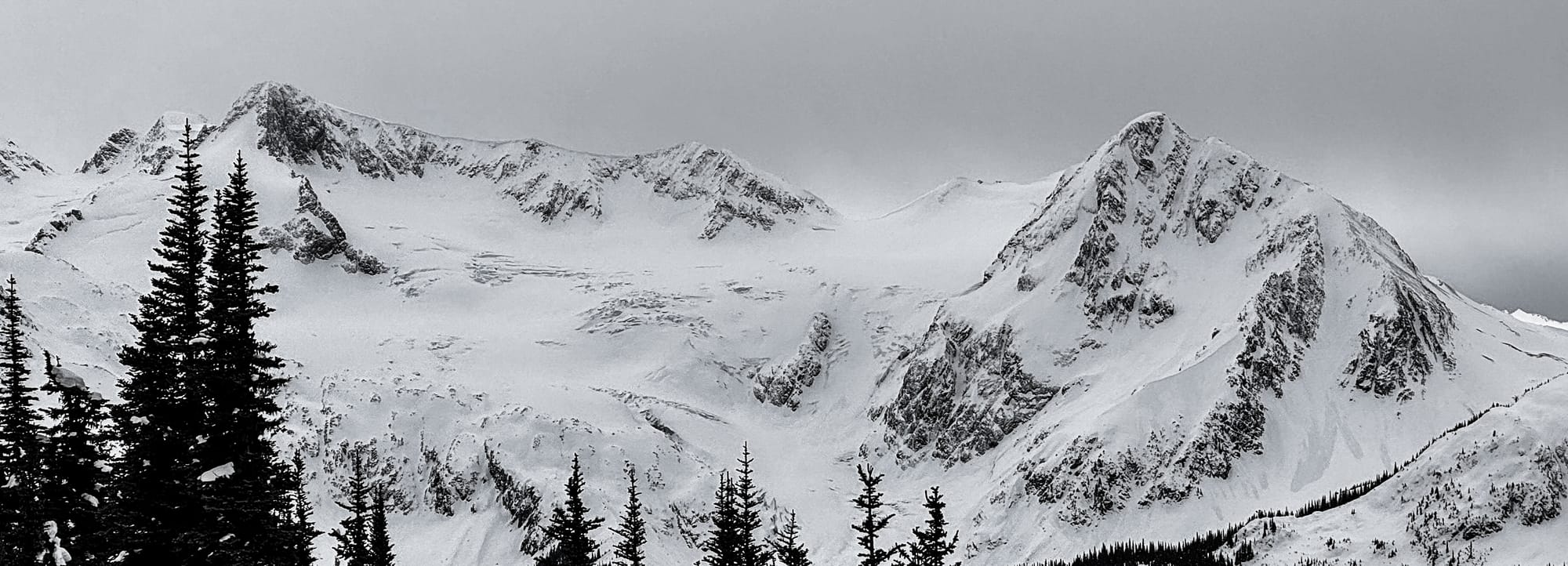
We’ve been doing the best we can to get up high and avoid the rain. If you get high enough at the Sea to Sky Gondola, there have been turns to be had. Whistler-Blackcomb and the Duffey require more driving but less approaching in the rain.
What’s happened since the last update (weather & general snowpack structure):
It feels a bit silly to be talking about the current snowpack given what’s coming but perhaps it’s still good practice…
An avalanche cycle occurred when we transitioned from the cold temps to warm stormy weather. Avalanche activity was more widespread (and perhaps a bit bigger) in the Squamish region where we had bigger snowfall totals and warmer temps than further north.
Through the weekend and week, warm and persistent snow showers kept the refresh going but there were no big dumps to truly reset. Storm/Wind slab formation occurred throughout the week but only a few very windy days so the destructive potential of the slabs wasn’t great. We did gain a few new crusts between pulses of precip - specifically from freezing rain that fell over the weekend. This was particularly annoying for highway travel with warm air above causing precip to fall as rain, but well below freezing temps caused it to freeze on the road surface!
Snow has been stacking up, just up high. At the Sea to Sky Gondola Snow Study Plot at ~1050m, total height of snow has dropped from ~75cm to just 52cm. Above 1400m however, height of snow has steadily been increasing (to nearly 220cm at tree line). This is consistent with most areas throughout the corridor.
The older weak layers of concern (like the arctic outflow faceted crusts) as well as the new slab formation have been settling very quickly with the warm temps and continued precipitation. This is all very indicative of the warm temperature regime that we are stuck in - at least things heal fast and stabilize quickly!
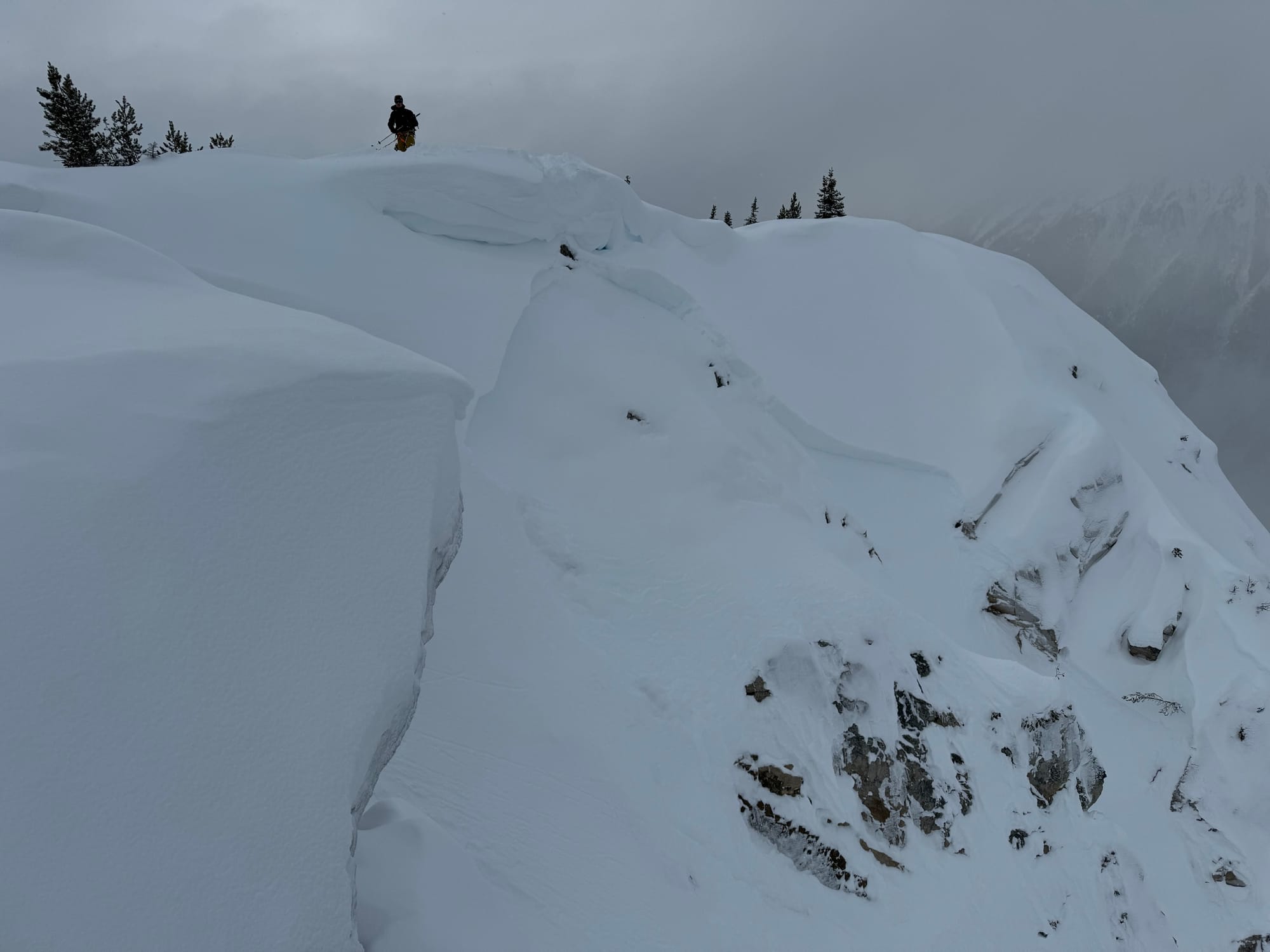
Overall the snowpack has been relatively stable. A bigger limiter for mountain travel has been visibility.
What’s the weather and avalanche forecast?
Let’s just skip this week…
Well, we can’t do that so grab your drink, or pet your dog, what ever you need to calm yourself and repeat the mantra ‘March and April are the best months on the coast’
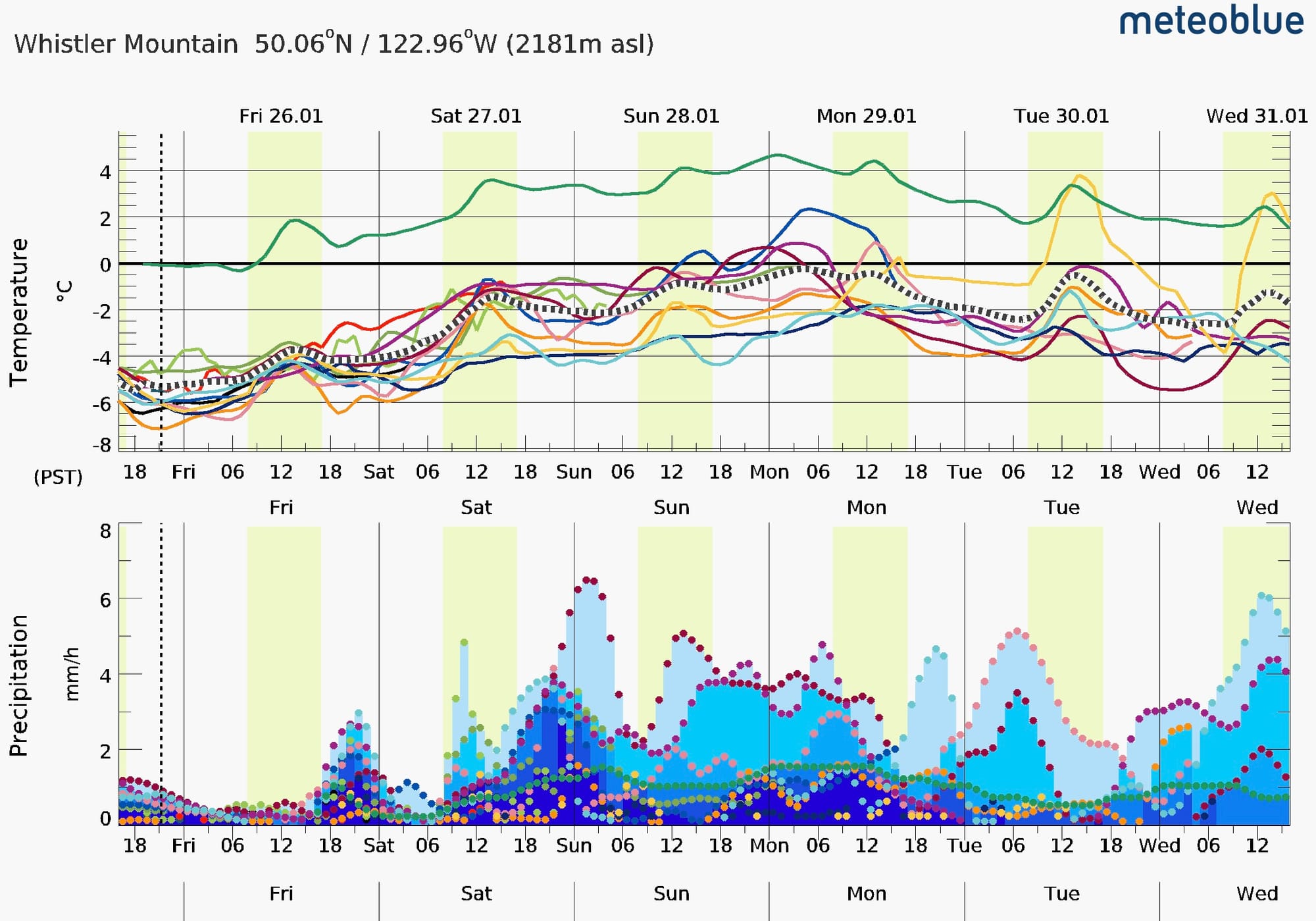
Friday is the last day for a few with decent skiing. Get out if its not too late. Find some vis, sneak to treeline, winds are calm, 10-20cms of new will fall before it gets downright tropical. Saturday the party ends fast. Freezing levels will spike to 2400 by mid day saturday and rain will fall on snow. So that means the total amount of recent new snow - which could total up to 40+cms is going to get hot and saturated fast. With the timing of this weather, I doubt you could get anywhere meaningful to ski before its too hot and wet. So go train your skills indoors, swim at the pool, watch some footy, anything but ski in the mountains!
Sunday and Monday will continue the hot pow/hot rain trend, but where forecasts were dire for Tue/Wed earlier on, the trend is improving for Tue/Wed to cool off and 20-40cms of new finish off this cycle. That would be meaningful! And it would save so much stress for Eric’s personal life to have some decent snow to ski from home.
We will still likely see 50+mm of water in the form of rain on most locations 2400m and lower. But, we could see a quick fix next week on Tues/Wed with a return to seasonable weather. So in the end it could spell some good stability and decent snow. Let’s see how much damage the rain does to the low elevation snowpack though before we get too excited.
For a reality check: 1000m at the Sea to Sky gondola is forecast to get 40cms on Thursday pm. Cayoosh summit is at 70cms at 1200m. Fingers crossed.
You might be thinking “well let’s drive to Roger’s Pass and sit out the storm there” but they are staring down the barrel of 2400m FLs as well so it doesn’t look too promising for a quick escape from the coast.
What are my questions for the weekend?
- How far do I have to drive to avoid freezing levels >2000m?
- Seriously though… How much snow will we lose below 2000m? Below 1200m?
- How will this storm end and when will we return to seasonable FLs? At the moment, it looks like we will be back to more reasonable (snow at 1400m) temperatures by Feb 2.
What will I watch out for or avoid completely?
- No intention of skiing Sun-Tues…
- I will be waxing my skis. Stopping to get some liners molded at SkiUphill. Maybe watch a ski video. Seriously… we don’t have much for ya here.
Closing Thoughts:
So far this season, my mantra has been that if you get out the door, and get high enough, there’s good skiing to be had somewhere. This may not be the case Sat-Tues. We will be feeling more optimistic this time next week. Approaches mightl be grim but there will be pow to be skied on the back side of this storm and someone has to do it!
Eric Carter and Evan Stevens contributed to this report. For more information, check out Zenith Mountain Guides and our local avalanche forecast. These updates are supported by SkiUphill Squamish - the best stop for ski touring equipment in the Coast Mountains and made possible by the Sea to Sky Gondola! Use this information at your own risk! We are not responsible for your actions in the backcountry and conditions change rapidly from when this report was written!
Member discussion