
November 24th Sea to Sky Snow Conditions
Welcome to the first scheduled edition of the 2024 season! We dive into the thick of the conditions update below but first - consider upgrading to being a paid supporter of the newsletter. We’ve opened our chat group for supporters and already kicked it off with a few videos and more detailed bits of information. We’ve also got a prize giveaway this week and all supporters are eligible to win! More on that at the bottom - now onto the update!
There’s four steps to join as a supporter:
- Click over to the website: snow.zenithguides.ca
- At the top right: SIGN IN with your email.
- Again at the top right, click: ACCOUNT.
- In the pop-up that appears, the middle portion shows your current subscription and you can click CHANGE to upgrade to the "Support Us" plan!
Overall theme:
Pray for snow! This is certainly one of the drier starts to the season that either of us has experienced. That doesn’t mean we’ve been totally out of luck but it has been thin!
Where we’ve been skiing:
The name of the game is driving as high as possible in the corridor between Squamish and Whistler. We’ve been sticking to that region as much as possible but have gathered some info from the Duffey Lake Road as well!
What’s happened since the last update (weather & general snowpack structure):
Major warm up with inversion and astronomical freezing levels over the tail end of last week and the weekend. This REALLY tightened up the snowpack - for instance we watched it go from a height of snow (HS) of 110cm to 60cm at 1450m in the Elfin area. At the start of this week, we saw temperatures return to seasonable and a small pulse of precip but not enough to make up for what we lost. That was quickly replaced by another major inversion with freezing levels in the 3000m range on Tuesday and then precip again that evening. Finally, the roller coaster is getting a little more reasonable with slightly more seasonable (chilly) temps into Wednesday and Thursday.
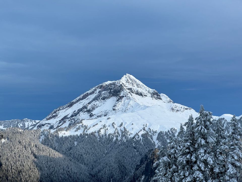
As of writing, a representative tree line snowpack description in the Squamish - Whistler corridor is a 40-60 cm layer of dense, consolidated snow with two melt freeze crusts sandwiched by lower density snow in the upper snowpack. Overall very well consolidated!
Whistler/Blackcomb has opened up, and touring to the top of 7th Heaven, as well as out toward Whistler Peak/Harmony is possible, but play your favorite Jaws soundtrack. Entrances to glaciers are extremely melted back and require ropes, and much of the Alpine was extremely wind affected. Overall, stay for the sunshine and views, leave because the skiing is thin and difficult!
What’s the weather and avalanche forecast?
The weekend forecast is unfortunately quite clear but luckily cold. This is good for travel as the snowpack continues to settle during the day with radiative warming from the sun. It’s also good for snowmaking at the ski hill!
Daily public avalanche bulletins from AvCan are scheduled to start TODAY! At the moment, most areas at Treeline and below are just at the threshold for avalanche activity. In the alpine, our main concern is the potential for wind slabs to have developed, especially at elevations above where the upper freezing rain crust occurred. There have also been very few high alpine observations this season!
What are my questions for the weekend?
Where can I drive high enough to get to snow?
Dear whatever higher power you believe in, when will it start storming?
What will I watch out for or avoid completely?
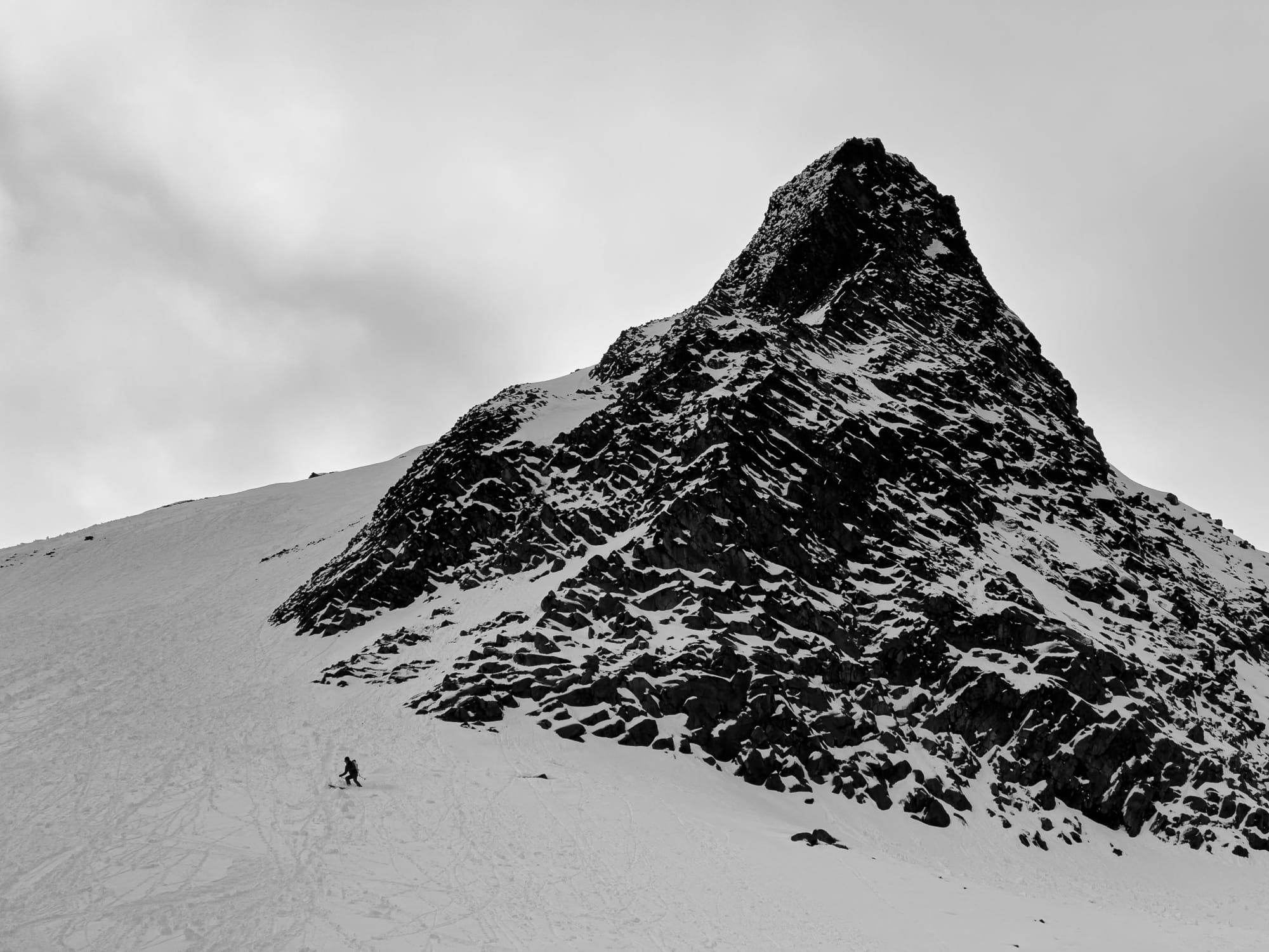
I’ll be sticking mostly in the Squamish corridor for the highest snow depth. Certainly our biggest hazard still is the low coverage. This means rocks, trees, and crevasses. I’m certainly tempted to poke around in the alpine but areas that have been windswept will be rocky and poorly covered while glaciers have had enough snow to start creating bridges but not enough to have them be fully supportive. If go on any bigger glaciers this week, it’ll be roped up in a team of 3 or more!
With clear/cold nights we’re already seeing surface hoar developing. If winds stay calm and we get small amounts of precip at a time, this could become a buried weak layer. If we get a big warm storm and it all gets squished, we could be unconcerned. Time will tell!
Closing Thoughts:
Ski season has arrived with a fizzle but sliding on snow is certainly better than walking! It’s November which has always traditionally been a time to be cautious. Get out and get the gear in order but be cautious with the terrain you’re getting into, especially high wind affected areas!
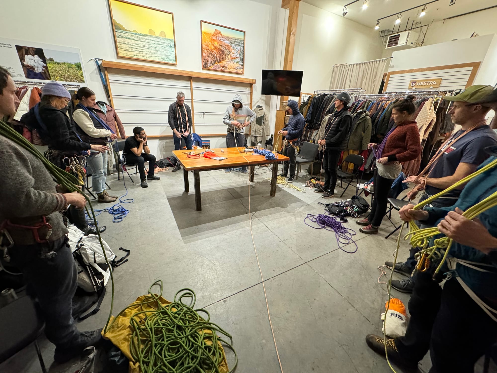
Bonus: Tech Kit for Ski Mountaineering
Dive into the tech gear that Evan and Eric carry for ski mountaineering and glacier travel. We’ve got all the latest stuff to make it lighter and smaller, and it’s listed here in easy categories. Even better - we’re giving away two Petzl Sm’D triple action locking carabiners (our favorite) to paid site supporters. This is the first of a bunch of giveaways this season so make sure you’re signed up! We’ll draw the winners from the list of paid supporters on Nov 29th!
Eric Carter and Evan Stevens contributed to this report. For more information, check out Zenith Mountain Guides and our local avalanche forecast. This update is supported by SkiUphill Squamish - the best stop for ski touring equipment in the Coast Mountains!
Use this information at your own risk! We are not responsible for your actions in the backcountry and conditions change rapidly from when this report was written!
Member discussion