
Jan 4th Sea to Sky Snow Conditions
Do you have big objectives planned for the spring? We’re just one week away from starting our winter Mountain Training Group in conjunction with Ridgeline Athletics and Squamish Barbell. If you’re Squamish based and want the motivation to work hard with a like-minded group of mountain people, we have ONE spot left in our January to March cohort! Get all the details and sign up here:
Ok - on to the snow…
Overall theme:
Conditions continue to improve at high elevations while salvation for our low elevation areas may be coming! All the prayers might be paying off!
Where we’ve been skiing:
Primarily Whistler Blackcomb and the Duffey.
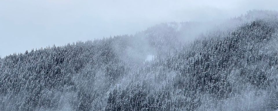
Approaches in the Squamish area have continued to lose snow. There is generally no skiing below 1200m. The North Shore looks quite grim with most resorts closed and no snowmaking possible. Callaghan/Hanging Lake has almost zero snow in the forest (however the XC skiing is excellent). Whistler is only man made snow below 1200m (and receding). Approaches on the Duffey are thin below 1500m. We walked on packed ice (in crampons) from the Cerise Creek TH to the start of the landslide zone before we could transition to skiing.
What’s happened since the last update (weather & general snowpack structure):
Weather, weather, weather…is that all any of us can ever talk about anymore? Is it going to snow again, ever? Worst winter since…ya we’ve heard it all, and we can’t stop talking about it either. Our livelihoods, passions and relationships are all being strained by the drought and warm weather! That might sound dramatic to some, but well…
Looking at our questions from last week, we DID see some storm slab development over the weekend but it wasn’t too bad in most areas and the folks that ventured out into the higher alpine were generally rewarded on the weekend (this does seem to have ramped up on Thursday).
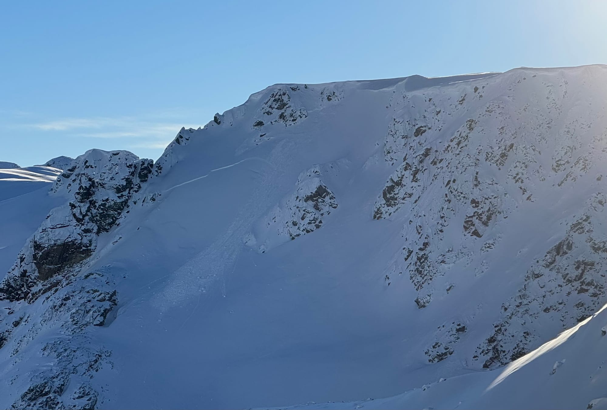
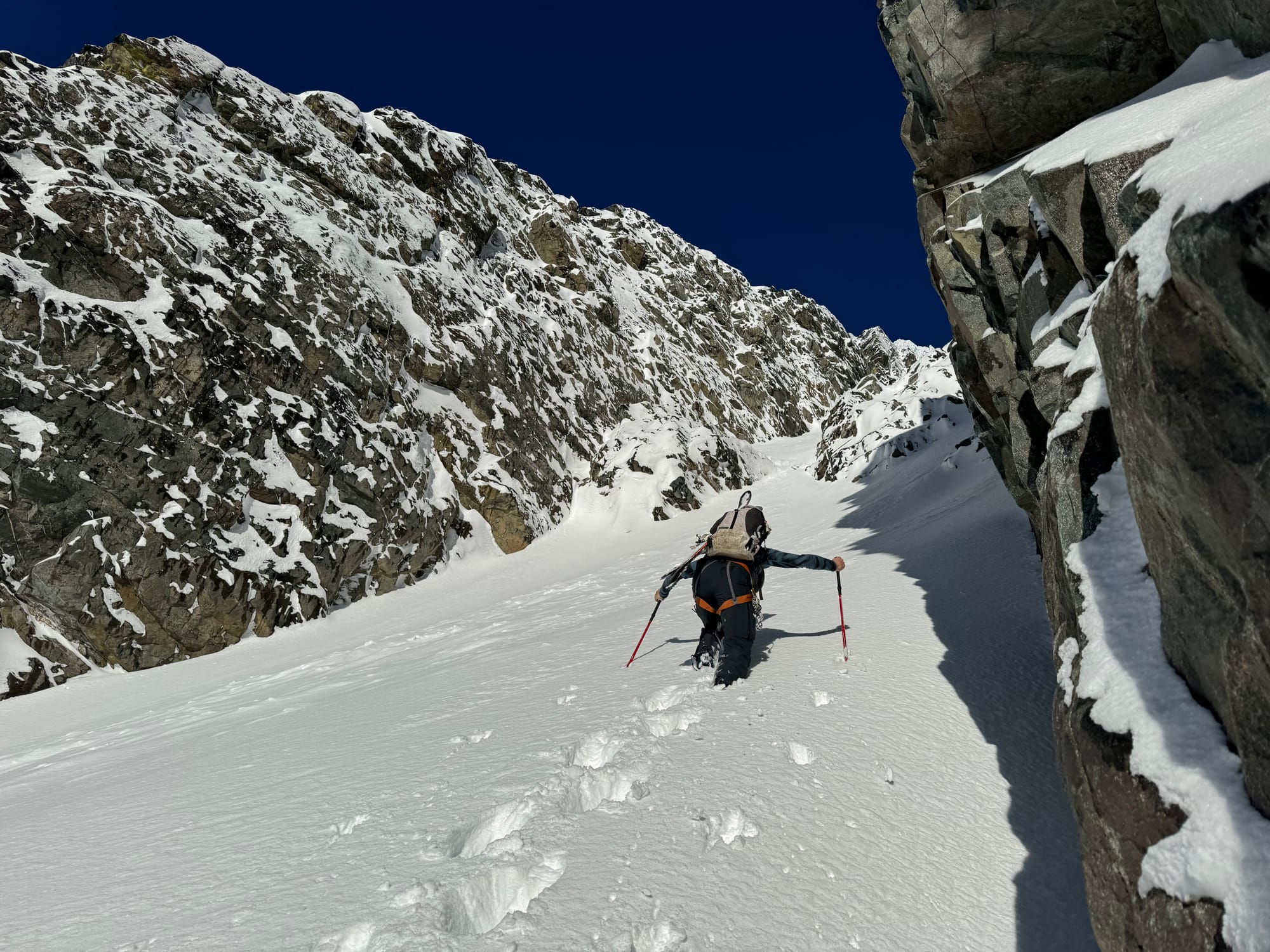
Sadly we did not see the drop in freezing levels that we hoped for. Much more seasonable than previous weeks but still warm in the valley bottoms. Our snowpack has continued to disappear down low with approaches getting worse and worse. On the bright side, coverage above 1500m is improving significantly! Most alpine lifts on WB have opened up and glaciers are getting more and more coverage.
This week has been generally dirty weather with pulses of snow and periods of sunshine but nothing outstanding. Freezing levels have fluctuated around 1400-1500m and winds have generally been light to moderate with a few stronger moments but nothing outrageous.
Above treeline, we have been watching our December 20th melt freeze crust that formed in the last rainy period. This is now buried close to a meter in many places and in Whistler and Squamish, may have new crusts above it. At very high elevations, especially in the Duffey, the upper snowpack is more homogenous above the Dec 20 crust. Very few recent avalanches have been reported on any of these layers. We have mostly read about isolated and small wind slabs with the new pulses of snow and wind. SO - there’s still something lurking that has been quiet lately but that may not be the case forever.
What’s the weather and avalanche forecast?
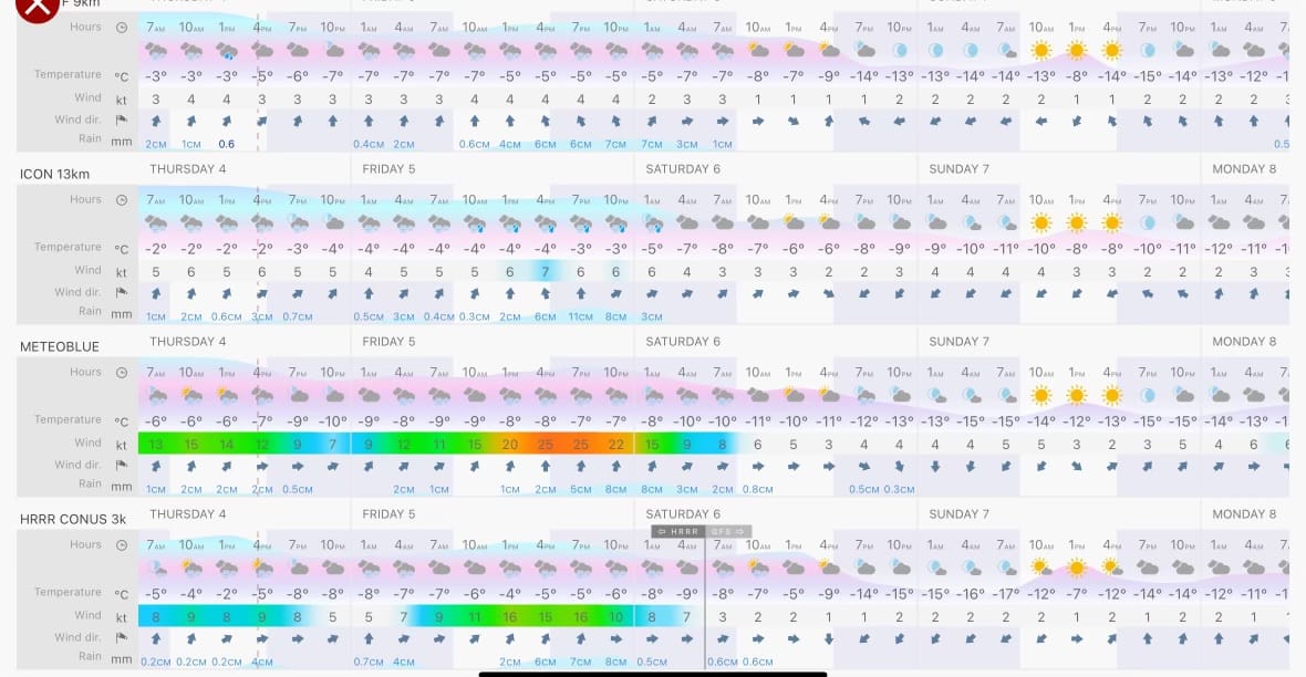
Change is in the air, and that is certain. We have become obsessed with Google’s Deep Mind Graphcast lately and after watching all the model runs for a while, a western-northwestern flow pattern was looking to settle in. If you are not a weather nerd, NW flow is the BEST pattern for the coast, and lots of southern/central BC. It means cold, moist air, low freezing levels and steady precip. W-SW is our whopper, atmospheric river storms, which to be honest means a big solid snowpack, and usually we love to see the W-SW storm parade in Oct/Nov/Dec shift into the W-NW steady cold moist flow for daily 10-20 cold smoke resets. We will take what we can get at this point.
Timing and intensity is going to be the big factor now, as a decent amount of low freezing level precip is looking close to certain. Friday into Saturday looks like our best bet with steadily dropping freezing levels as the storm marches on. What happens after that first round is still a long range question, but the graphcast still likes a steady repeating flow of dry and wet, so fingers crossed!
For now we’re guessing 60-80cm closer to the Coast, with diminishing numbers as you move inland through the weekend period, optimistic 40-60 in the Spearhead, and 20-40 on the Duffey. The other good news is that the coast might actually get some ice climbing and the Lillooet Ice fest could be saved!
What are my questions for the weekend?
- It looks like snow Fri into Sat is a given. A bigger question is how much wind will accompany it?
- Will we see an avalanche cycle during the storm that flushes itself out or will we have lingering storm slab issues through the weekend.
- Long range forecasts for the Coast are COLD. Will we all be ice climbers next weekend?
What will I watch out for or avoid completely?
- Friday and Saturday are going to be fitness or meadow skipping days for me. Enjoy the big snow fall but don’t head into mega terrain. A few interesting avalanches popped onto our radar just before sending this off Thursday night - possibly a result of increasing winds throughout the day.
- As the storm tapers off, I’ll be slowly stepping into bigger terrain but I want to see that any storm/wind slab issues have settled before going huge.
Closing Thoughts:
Fingers crossed that ski season is going to be saved. We’ve got incoming surface instabilities, one of the biggest new loads we’ve seen this season, and some lurking deeper instabilities that are still on our radar. The most complex snowpack yet!
Eric Carter and Evan Stevens contributed to this report. For more information, check out Zenith Mountain Guides and our local avalanche forecast. These updates are supported by SkiUphill Squamish - the best stop for ski touring equipment in the Coast Mountains - and made possible by the Sea to Sky Gondola! Use this information at your own risk! We are not responsible for your actions in the backcountry and conditions change rapidly from when this report was written!
Member discussion